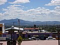
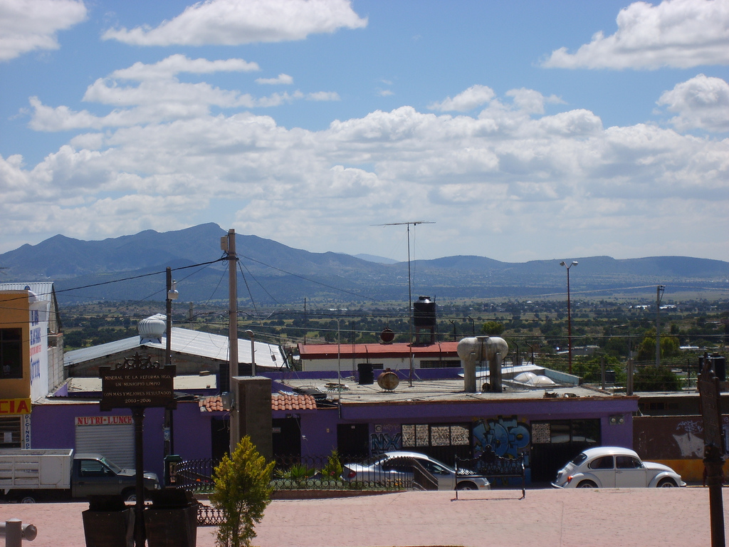
Town Mineral de la Reforma, Hidalgo Municipality of Mineral de la Reforma Hidalgo Mountain Corridor Comarca Minera Geopark
Seat of Mineral de la Reforma since 1958, next to Pachuca, with a church dated to 1531 that holds a parish museum.
From Pachuca: 10 min by car (8 km by road) How to get there ↓
Near here


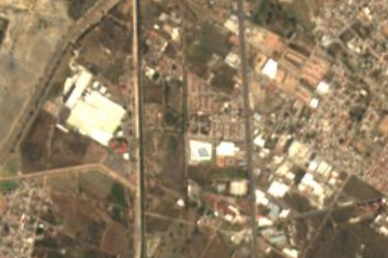
Plan your visit to Pachuquilla
Where to stay near Pachuquilla
Compare hotels, posadas and guest houses in Pachuquilla.
Tours to Pachuquilla
Day trips around Real del Monte sometimes stop in Pachuquilla; a tour is the easy way to see it without a car.
How to get to Pachuquilla
- From Pachuca: about 10 min by road (~8 km)
- Nearest airport: Mexico City (Felipe Ángeles) (NLU), 1 h 6 min by car to Real del Monte
Links open a partner site. We may earn a commission if you book, at no cost to you.
About Pachuquilla
Pachuquilla means, roughly, "little Pachuca": the name takes the neighbouring city's, drops the locative ending -can and adds the diminutive -ill. It lies 7.5 km from Pachuca and about 38 from Tulancingo, southeast of central Hidalgo, with Mexico City about 100 km away. It has been absorbed into the Pachuca metropolitan area, yet keeps its own identity as the seat of Mineral de la Reforma. In 2020 it had 9,559 inhabitants, 4.72% of the municipality.
The account Wikipedia gives places its founding around 1531, when a Spanish advance party from Ixmiquilpan under captains Pedro Rodríguez de Escobar and Andrés Barrios overcame the native peoples; by about 1550 it was a metalworking centre. The municipality was created by decree on 13 April 1920 with its seat at San Guillermo, where the silver veins were. When the ore ran out, San Guillermo's people moved to neighbouring villages, and on 15 November 1958 decree no. 43 moved the municipal powers to Pachuquilla.
The main monument is the church of the Preciosa Sangre de Cristo, in the centre. INAH dates it to 1531 and describes a masonry, single-nave building with a barrel vault split into two sections by three shallow arches, and an octagonal dome with a lantern whose dome is decorated with tiles. Two bells hang in the tower, dated 1856 and 1880. Inside is a museum of 18th-century religious objects (cassocks, altarpieces, a pianola and parish documents); outside, a walled churchyard cemetery and the chapel of Jesús Nazareno, which opens into the church. Around it the landscape is dry scrub with maguey, prickly pear and mesquite, with La Sotolera hill to the north toward Carboneras, and rain from June to September (392 mm a year).
How to get to Pachuquilla
Drive from Pachuca: 10 min, 8 km
Pachuquilla lies southeast of Pachuca, 7.5 km from it, according to Wikipedia. The trunk road is Federal Highway 85 with its 85D toll road (about 100 km from the capital). Buses and minibuses to Pachuca start from three Mexico City points Wikipedia names: Indios Verdes, Potrero and the Central del Norte. Once in Pachuca, Rome2rio shows Futura and ADO running from its Central de Autobuses toward AIFA.
Tulancingo is about 38 km away. Real del Monte (a Pueblo Mágico) is about 8 km straight, around 10 minutes by estimate; by road, somewhat more.
Directions to Pachuquilla on Google Maps
Distances are in a straight line; the road is usually longer.
Links open a partner site. We may earn a commission if you book, at no cost to you.
From the nearest cities to Pachuquilla
- Pachuca · 8 km by road, 10 min
- Tulancingo · 40 km by road, 40 min
- Huauchinango · 82 km by road, 1 h 15 min
Drive times by road from OpenStreetMap, without traffic or stops. Times marked ~ are estimated from the straight-line distance.
Map of Pachuquilla
Neighbourhoods and villages of Pachuquilla
Part of Pachuquilla or just outside it, closest first.
-
Carboneras · Village · 2 km from the centre
Locality in Mineral de la Reforma, next to Pachuca, in the Mining Region; close to the UAEH university campus. -
Ciudad del Conocimiento · Village · 3 km from the centre
The UAEH university campus in Mineral de la Reforma: a sports-and-fair hall, a plaza with a bookshop, 2014 murals and steel sculptures. -
El Álamo · Village · 3 km from the centre
A locality of 841 people in the Comarca Minera, at 2,415 m on rolling hills, joined to Pachuca and close to Real del Monte. -
Villas del Álamo · Village · 3 km from the centre
Residential locality merged into Pachuca's urban area, in Mineral de la Reforma, at 2,416 m; 2,501 residents in 2020. -
Álamo Rústico · Village · 4 km from the centre
Locality at 2,403 m on Pachuca's edge, in Mineral de la Reforma, with 2,500 m hills 2 km off and Real del Monte about 10 km away.
Day trips and tours from Pachuquilla
The closest Pueblos Mágicos and places to visit, with the drive from Pachuquilla and tours that leave from it.


Times marked ~ are estimated from the distance. Links open a partner site. We may earn a commission if you book, at no cost to you.
Before you go: getting to and around Pachuquilla
- The nearest airport is Mexico City (Felipe Ángeles) (NLU).
- The best months to go are February, March, April, and May.
- 1 of the places on this page is more than 3 km from the centre: take a taxi, a ride-hailing app or a local bus.
- For day trips a rental car gives the most freedom; the tours above leave from Pachuquilla.
Visiting Pachuquilla: what to see and do
Church of the Preciosa Sangre de Cristo, dated to 1531
Parish museum inside the church, with 18th-century altarpieces, cassocks and a pianola
Chapel of Jesús Nazareno, joined to the church, and the churchyard cemetery
Bell tower with bells from 1856 and 1880
La Sotolera hill, north of town
Plan your trip
Places to stay in Pachuquilla
Compare hotels, posadas, and rentals in and around Pachuquilla.
Tours & activities
Day trips around Real del Monte sometimes stop in Pachuquilla; a tour is the easy way to see it without a car.
Rental cars
Pick up a car at NLU (Mexico City (Felipe Ángeles)): about 1 h 6 min by road to Real del Monte, then 8 km more to Pachuquilla, on your own schedule.
Flights
The nearest airport with scheduled flights is Mexico City (Felipe Ángeles) (NLU), about 1 h 6 min by road from Real del Monte, the base for Pachuquilla.
Mobile data
Signal can drop away from Real del Monte: download a map of the way to Pachuquilla before you set out, or carry an eSIM with data.
Links open a partner site. We may earn a commission if you book, at no cost to you.
When to go to Pachuquilla cool
Pachuquilla shares the climate of Real del Monte, 8 km away. The best months to visit are February, March, April, and May.
See the month-by-month climate of Real del Monte
Weather in Pachuquilla now and the next 7 days
Live forecast from Open-Meteo. Chance of rain is the day's highest.
The closest Pueblo Mágico: Real del Monte

Real del Monte is the Pueblo Mágico closest to Pachuquilla, with places to stay, food, and more to see.
Also close to
- Mineral del Chico · Hidalgo · 16 km away
- Zempoala · Hidalgo · 18 km away
- Huasca de Ocampo · Hidalgo · 18 km away
- Otumba · Estado de México · 42 km away
- Teotihuacán · Estado de México · 45 km away
Near Pachuquilla


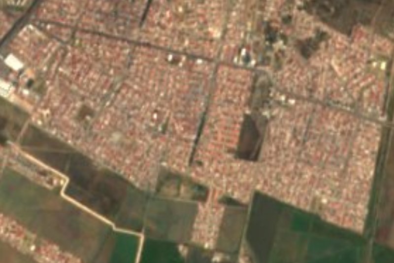
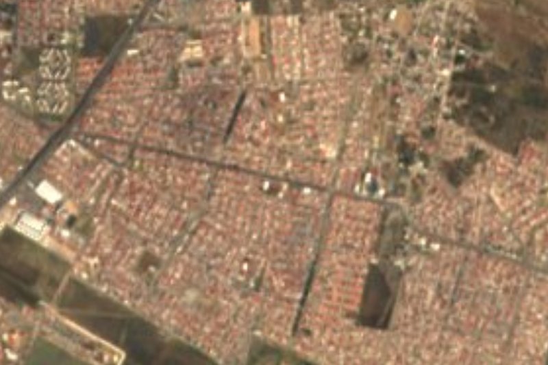


Drive times by road from OpenStreetMap, without traffic. Times marked ~ are estimated from the straight-line distance.
Location from OpenStreetMap. Written by Puebloteca.