Village Mineral de la Reforma, Hidalgo Municipality of Mineral de la Reforma Hidalgo Mountain Corridor Comarca Minera Geopark
Locality at 2,403 m on Pachuca's edge, in Mineral de la Reforma, with 2,500 m hills 2 km off and Real del Monte about 10 km away.
From Pachuca: 5 min by car (4 km by road) How to get there ↓
Near here
See everything nearby ↓


Plan your visit to Álamo Rústico
Where to stay near Álamo Rústico
Compare hotels, posadas and guest houses in Álamo Rústico.
Tours to Álamo Rústico
Day trips and guided outings from Real del Monte often include Álamo Rústico; with a local guide you can get there without a car.
 Tours from Zacatlan
Zacatlán Guided Tour walking through the Center
★ 5.0 (2) · From US$8
How to get to Álamo Rústico
- From Pachuca: about 5 min by road (~4 km)
- Nearest airport: Mexico City (Felipe Ángeles) (NLU), 1 h 6 min by car to Real del Monte
Links open a partner site. We may earn a commission if you book, at no cost to you.
Tours from Zacatlan, near Álamo Rústico
Tours, prices and ratings from Viator, checked weekly. We may earn a commission if you book.
About Álamo Rústico
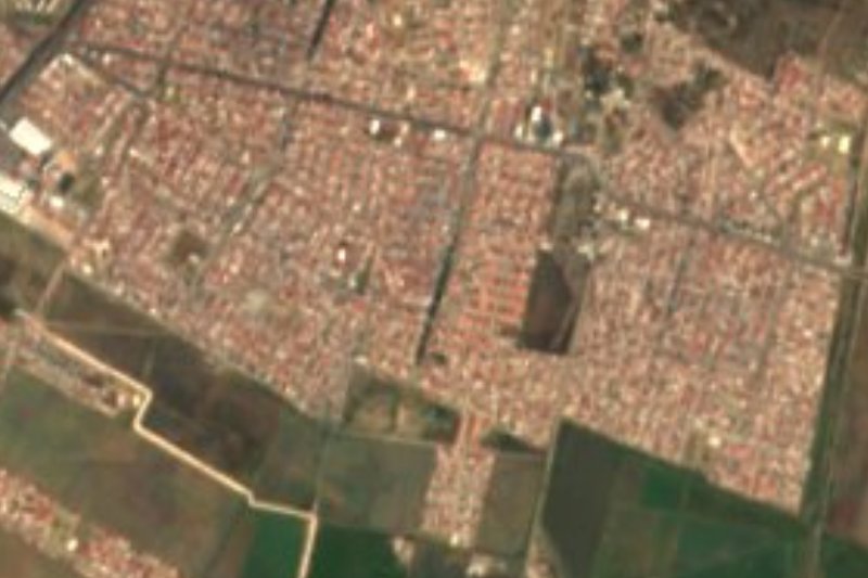
The city has already reached Álamo Rústico: Wikipedia describes it as a locality merged into Pachuca de Soto and part of its metropolitan zone. It stands at 2,403 metres on rolling hills of the Neovolcanic Axis, in Mineral de la Reforma municipality. In 2020 it had 602 residents, 266 men and 336 women, against 615 a decade earlier.
The climate is semi-dry and temperate, averaging about 14 °C in the locality; the municipality records rain from June to September and around 392 mm a year. Vegetation runs to maguey, prickly pear, mesquite and barrel cactus. Mineral de la Reforma ranks first in Hidalgo on the human development index (0.835 in 2015). In Álamo Rústico nine in ten homes have a mobile phone and more than eight in ten have internet.
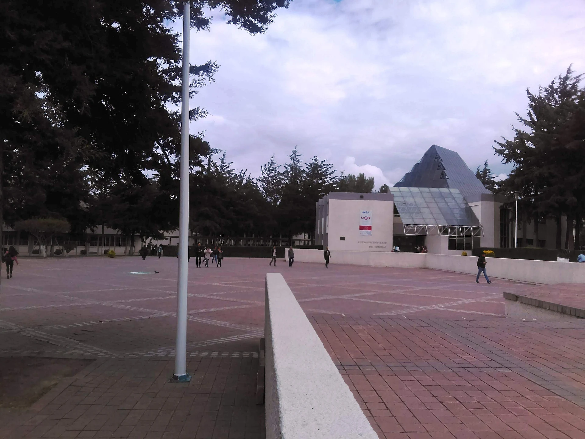
To the west rise Cerro Saucillo (2,610 m) and Cerro Cubitos (2,590 m), some 2 to 3 km away; to the northeast, Las Brujas (2,555 m). About 700 metres off, going by Wikimedia Commons geotags, is the Ciudad del Conocimiento campus of the Universidad Autónoma del Estado de Hidalgo. Pachuquilla, the municipal seat, is 4.1 km to the south.
How to get to Álamo Rústico
Drive from Pachuca: 5 min, 4 km
Álamo Rústico sits so close to Pachuca that its position is given relative to the capital: about 3 km straight-line from the centre (approx. 5 minutes by car), 4.1 km north of Pachuquilla and 3.8 km northwest of La Providencia, the municipality's largest locality. The Pueblo Mágico of Real del Monte is about 9 to 10 km away, approx. 10 minutes by car. Federal highway 105 starts in Pachuca and runs through Mineral del Monte toward the Huasteca.
Without a car, start at the Central de Autobuses in Pachuca, which the 12go aggregator lists with departures to Mexico City's Terminal Norte and TAPO; schedules change, so check with the bus line.
Directions to Álamo Rústico on Google Maps
Distances are in a straight line; the road is usually longer.
Links open a partner site. We may earn a commission if you book, at no cost to you.
From the nearest cities to Álamo Rústico
- Pachuca · 4 km by road, 5 min
- Tulancingo · 44 km by road, 45 min
- Huauchinango · 85 km by road, 1 h 20 min
Drive times by road from OpenStreetMap, without traffic or stops. Times marked ~ are estimated from the straight-line distance.
Visiting Álamo Rústico: what to see and do
Cerro Saucillo (2,610 m) and Cerro Cubitos (2,590 m), 2-3 km west
Cerro Las Brujas (2,555 m), about 2.3 km northeast
The UAEH Ciudad del Conocimiento campus, about 700 m away
Pachuquilla, the municipal seat, 4.1 km south
Real del Monte, about 10 km off
Plan your trip
Places to stay in Álamo Rústico
Compare hotels, posadas, and rentals in and around Álamo Rústico.
Tours & activities
Day trips and guided outings from Real del Monte often include Álamo Rústico; with a local guide you can get there without a car.
Rental cars
Pick up a car at NLU (Mexico City (Felipe Ángeles)): about 1 h 6 min by road to Real del Monte, then 6 km more to Álamo Rústico, on your own schedule.
Flights
The nearest airport with scheduled flights is Mexico City (Felipe Ángeles) (NLU), about 1 h 6 min by road from Real del Monte, the base for Álamo Rústico.
Mobile data
Signal can drop away from Real del Monte: download a map of the way to Álamo Rústico before you set out, or carry an eSIM with data.
Links open a partner site. We may earn a commission if you book, at no cost to you.
When to go to Álamo Rústico cool
Álamo Rústico shares the climate of Real del Monte, 6 km away. The best months to visit are February, March, April, and May.
See the month-by-month climate of Real del Monte
Weather in Álamo Rústico now and the next 7 days
Live forecast from Open-Meteo. Chance of rain is the day's highest.
The closest Pueblo Mágico: Real del Monte

Real del Monte is the Pueblo Mágico closest to Álamo Rústico, with places to stay, food, and more to see.
Also close to
- Mineral del Chico · Hidalgo · 12 km away
- Huasca de Ocampo · Hidalgo · 17 km away
- Zempoala · Hidalgo · 21 km away
- Otumba · Estado de México · 45 km away
- Teotihuacán · Estado de México · 47 km away
Closest to Álamo Rústico
-
Ciudad del Conocimiento · Village · 1 km away
-
El Álamo · Village · 1 km away
-
Villas del Álamo · Village · 1 km away
-
Carboneras · Village · 2 km away
-
Parque Ecológico Cubitos · Nature reserve · 2 km away
-
Cristo Rey · Viewpoint · 3 km away
-
Jardín de los Niños Héroes · Nature reserve · 3 km away
-
Jardín del Maestro · Nature reserve · 3 km away


Near Álamo Rústico


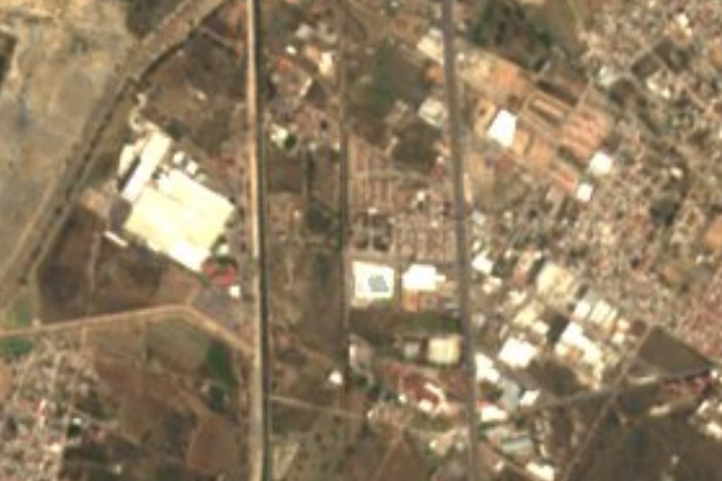

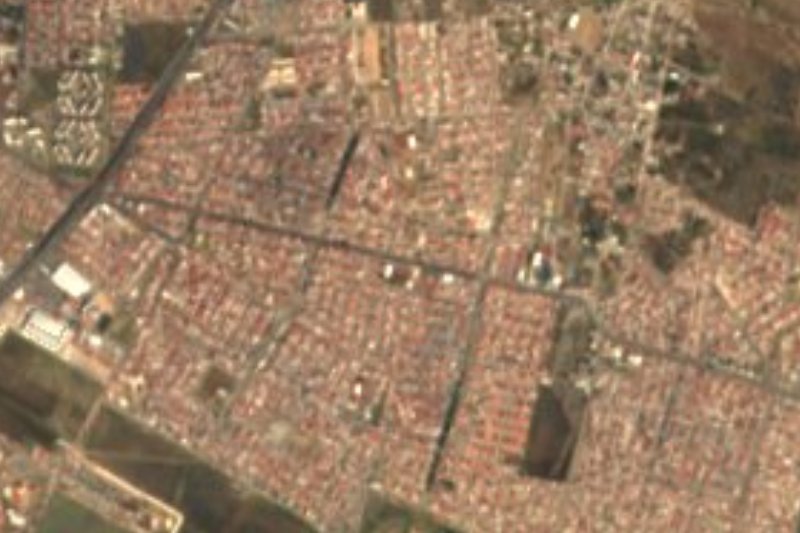


Drive times by road from OpenStreetMap, without traffic. Times marked ~ are estimated from the straight-line distance.
Location from OpenStreetMap. Written by Puebloteca.