

Town Zapotlán de Juárez, Hidalgo Municipality of Zapotlán de Juárez
Zapotlán de Juárez's biggest locality, beside the Mexico City-Pachuca toll road, with a small dam, a Franciscan-titled church and October fiestas.
From Pachuca: 20 min by car (19 km by road) How to get there ↓
Near here
See everything nearby ↓


Plan your visit to Acayuca
Where to stay near Acayuca
Compare hotels, posadas and guest houses in Acayuca.
Tours to Acayuca
Day trips around Zempoala sometimes stop in Acayuca; a tour is the easy way to see it without a car.
How to get to Acayuca
- From Pachuca: about 20 min by road (~19 km)
- Nearest airport: Mexico City (Felipe Ángeles) (NLU), 58 min by car to Zempoala
Links open a partner site. We may earn a commission if you book, at no cost to you.
About Acayuca
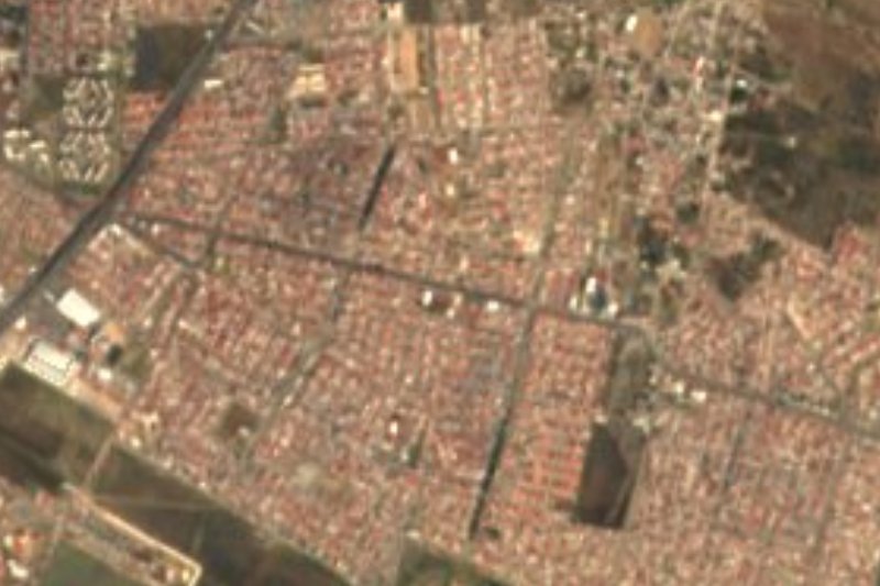
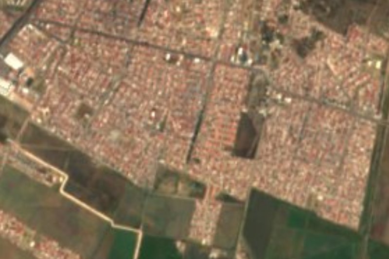
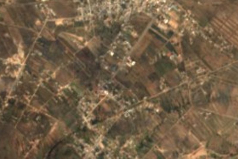
At 2,456 metres, Acayuca occupies the notch that separates the Tizayuca Valley from the Sierra de Tezontlalpan: part plain, part ridge, with dry, cool air and its waters headed for the Moctezuma basin. The 2020 census counted 11,018 people, over half of the whole municipality (51.38%). That number has jumped: 4,992 in 1990, and only 1,967 in 1930.
One kilometre southwest of the settlement lies the Huatongo reservoir, an earth and masonry dam faced with basalt rock, built in 1961-62 to hold the flow of the Barranca de los Hondones stream. The wall is 510 metres long and 8 metres high, and the basin was designed for 1.76 million cubic metres. In the rainy season it supplies a little supplementary irrigation and a drinking place for free-grazing livestock; regional environmental studies note that the grazing partly harms the water quality.
The town is divided into colonias (Centro, La Cañada, El Cerrito, Los Jorges, Obrera, Nueva Santa María, Los Soldados, El Pedregal, El Herradero, Lázaro Cárdenas and Pueblo Nuevo) and lives from trade, livestock and farming. The church of San Francisco de Asís stands in the centre, and there is also a Methodist temple called El Divino Salvador. The festival calendar is long: the Independence days of 15-17 September, the patron-saint fiesta of St Francis on 3-5 October, the Virgin of Guadalupe on 12 December in the colonias La Cañada and El Pedregal, and St Isidore the Farmer on 15 May in colonia Obrera.
How to get to Acayuca
Drive from Pachuca: 20 min, 19 km
Acayuca lies alongside the Mexico City-Pachuca autopista (the 85D, the tolled leg of Federal Highway 85). Roads from the village go to Zapotlán de Juárez, Santa Matilde and Pitahayas, besides the tracks threading between the ranches.
For public transport, Wikipedia's pointer is the routes to Tizayuca and Pachuca that start at Indios Verdes, Potrero or the Central del Norte. Pachuca is around 15 km measured in a straight line (the estimate is 15 minutes by car) and Zempoala, the closest Pueblo Mágico, around 21 km (about 25 minutes); on the actual road the trip runs a bit longer.
Directions to Acayuca on Google Maps
Distances are in a straight line; the road is usually longer.
Links open a partner site. We may earn a commission if you book, at no cost to you.
From the nearest cities to Acayuca
- Pachuca · 19 km by road, 20 min
- Tulancingo · 64 km by road, 1 h
- Mexico City · 80 km by road, 1 h 15 min
Drive times by road from OpenStreetMap, without traffic or stops. Times marked ~ are estimated from the straight-line distance.
Before you go to Acayuca: hours, prices and tips
- Best season
- Fiestas: Independence days (15-17 September), patron-saint fiesta of St Francis (3-5 October), Guadalupe (12 December, colonias La Cañada and El Pedregal) and St Isidore (15 May, colonia Obrera). Wikipedia (es), Acayuca · checked Oct 2026
Hours and prices change, especially around holidays. Each fact links to where we checked it.
Visiting Acayuca: what to see and do
Church of San Francisco de Asís, in the centre of town
Methodist temple El Divino Salvador
Huatongo dam, one kilometre southwest: a 510 m long, 8 m high wall built in 1961-62
Patron-saint fiesta of St Francis, 3-5 October
Independence-day festivities, 15-17 September
Plan your trip
Places to stay in Acayuca
Compare hotels, posadas, and rentals in and around Acayuca.
Tours & activities
Day trips around Zempoala sometimes stop in Acayuca; a tour is the easy way to see it without a car.
Rental cars
Pick up a car at NLU (Mexico City (Felipe Ángeles)): about 58 min by road to Zempoala, then 21 km more to Acayuca, on your own schedule.
Flights
The nearest airport with scheduled flights is Mexico City (Felipe Ángeles) (NLU), about 58 min by road from Zempoala, the base for Acayuca.
Mobile data
Signal can drop away from Zempoala: download a map of the way to Acayuca before you set out, or carry an eSIM with data.
Links open a partner site. We may earn a commission if you book, at no cost to you.
When to go to Acayuca cool
Acayuca shares the climate of Zempoala, 21 km away. The best months to visit are January, February, November, and December.
See the month-by-month climate of Zempoala
Weather in Acayuca now and the next 7 days
Live forecast from Open-Meteo. Chance of rain is the day's highest.
The closest Pueblo Mágico: Zempoala

Zempoala is the Pueblo Mágico closest to Acayuca, with places to stay, food, and more to see.
Also close to
- Real del Monte · Hidalgo · 22 km away
- Mineral del Chico · Hidalgo · 22 km away
- Huasca de Ocampo · Hidalgo · 33 km away
- Teotihuacán · Estado de México · 37 km away
- Otumba · Estado de México · 37 km away
Closest to Acayuca
-
San Pedro Huaquilpan · Town · 5 km away
-
Zapotlán de Juárez · Village · 6 km away
-
Cipreses · Village · 9 km away
-
Forjadores de Pachuca · Village · 9 km away
-
Santiago Tlapacoya · Village · 9 km away
-
Parque Cultural Hidalguense · Nature reserve · 10 km away
-
La Reforma · Village · 11 km away
-
San Agustín Tlaxiaca · Town · 11 km away

Near Acayuca


Drive times by road from OpenStreetMap, without traffic. Times marked ~ are estimated from the straight-line distance.
Location from OpenStreetMap. Written by Puebloteca.