

Village Zapotlán de Juárez, Hidalgo Municipality of Zapotlán de Juárez
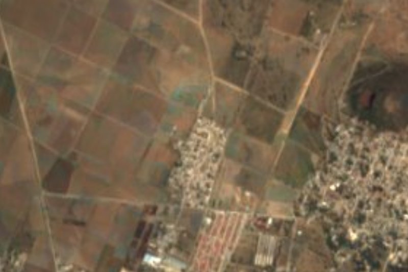
Municipal seat at 2,360 m in the Tizayuca valley; Purísima parish church, two jagüeyes and a fiesta on 8 December.
From Pachuca: 20 min by car (22 km by road) How to get there ↓
Near here
See everything nearby ↓



Plan your visit to Zapotlán de Juárez
Where to stay near Zapotlán de Juárez
Compare hotels, posadas and guest houses in Zapotlán de Juárez.
Tours to Zapotlán de Juárez
Day trips and guided outings from Zempoala often include Zapotlán de Juárez; with a local guide you can get there without a car.
How to get to Zapotlán de Juárez
- From Pachuca: about 20 min by road (~22 km)
- Nearest airport: Mexico City (Felipe Ángeles) (NLU), 58 min by car to Zempoala
Links open a partner site. We may earn a commission if you book, at no cost to you.
About Zapotlán de Juárez
In Nahuatl, Zapotlán means 'the place beside the sapote trees'. The municipal seat lies at 2,360 metres, on low hills of the Tizayuca valley, with a semi-dry temperate climate and runoff heading to the Tezontepec river. The municipality was born on 5 September 1935, when Zapotlán, San Pedro Huaquilpan and Acayuca split from Tolcayuca; so that none would dominate, their residents agreed to take turns nominating the mayor, an unwritten deal known as the Pacto de Caballeros that, according to INAFED, has never been broken.
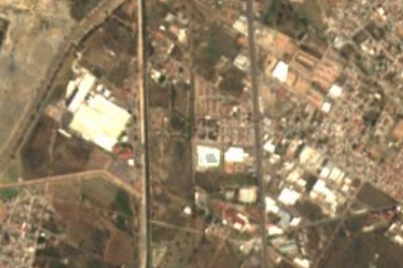
Little is written about the colonial period: archdiocesan records of 1569 mention about 300 people over twelve in Huaquilpan, now merged into Zapotlán, and another 450 in the barrio of San Martín, which vanished before 1581 because of epidemics. The civic plaza, which locals call 'the centre', holds the Purísima Concepción church, the town hall and a small bandstand among tiny gardens. On the edges there are two jagüeyes, Dolores and La Venta; the very large cemetery lies beside the highway.
The main fiesta is for the Purísima on 8 and 9 December, with the lancers' dance, rodeos, bulls and cockfights, plus a market and fairground rides. The local table runs to carnitas, chicharrón, squash-blossom quesadillas, palm flowers and tamales, with pulque and aguamiel; crafts include palm hats, baskets and weaving.
How to get to Zapotlán de Juárez
Drive from Pachuca: 20 min, 22 km
Zapotlán de Juárez lies about 20 km in a straight line from Pachuca (roughly 25 minutes) and borders Mineral de la Reforma, which INAFED puts 9 km from the state capital. From Mexico City, Pachuca is about 90 km by toll road (Wikivoyage), and buses leave from the Norte terminal. A highway runs right beside the town cemetery, although the source gives no road number or exit. By public transport the usual way is to reach Pachuca and take a minibus or taxi to the seat; Wikivoyage notes that a combi from the terminal into central Pachuca costs about 7.5 pesos. Tulancingo is about 38 km from Mineral de la Reforma, per INAFED, and works as an alternative base.
Directions to Zapotlán de Juárez on Google Maps
Distances are in a straight line; the road is usually longer.
Links open a partner site. We may earn a commission if you book, at no cost to you.
From the nearest cities to Zapotlán de Juárez
- Pachuca · 22 km by road, 20 min
- Tulancingo · 67 km by road, 1 h 5 min
- Mexico City · 72 km by road, 1 h 5 min
Drive times by road from OpenStreetMap, without traffic or stops. Times marked ~ are estimated from the straight-line distance.
Before you go to Zapotlán de Juárez: hours, prices and tips
- Best season
- Fiesta of the Purísima Concepción on 8 and 9 December, with the lancers' dance, rodeos and a market. INAFED, Enciclopedia de los Municipios: Zapotlán de Juárez · checked Oct 2026
Hours and prices change, especially around holidays. Each fact links to where we checked it.
Visiting Zapotlán de Juárez: what to see and do
Church of the Immaculate Conception, on the civic plaza
Town hall and bandstand in the centre
The Dolores and La Venta jagüeyes
Fiesta of the Purísima, 8 and 9 December, with the lancers' dance
Palm hats and weaving made in the area
Plan your trip
Places to stay in Zapotlán de Juárez
Compare hotels, posadas, and rentals in and around Zapotlán de Juárez.
Tours & activities
Day trips and guided outings from Zempoala often include Zapotlán de Juárez; with a local guide you can get there without a car.
Rental cars
Pick up a car at NLU (Mexico City (Felipe Ángeles)): about 58 min by road to Zempoala, then 21 km more to Zapotlán de Juárez, on your own schedule.
Flights
The nearest airport with scheduled flights is Mexico City (Felipe Ángeles) (NLU), about 58 min by road from Zempoala, the base for Zapotlán de Juárez.
Mobile data
Signal can drop away from Zempoala: download a map of the way to Zapotlán de Juárez before you set out, or carry an eSIM with data.
Links open a partner site. We may earn a commission if you book, at no cost to you.
When to go to Zapotlán de Juárez cool
Zapotlán de Juárez shares the climate of Zempoala, 21 km away. The best months to visit are January, February, November, and December.
See the month-by-month climate of Zempoala
Weather in Zapotlán de Juárez now and the next 7 days
Live forecast from Open-Meteo. Chance of rain is the day's highest.
The closest Pueblo Mágico: Zempoala

Zempoala is the Pueblo Mágico closest to Zapotlán de Juárez, with places to stay, food, and more to see.
Also close to
- Real del Monte · Hidalgo · 27 km away
- Mineral del Chico · Hidalgo · 28 km away
- Teotihuacán · Estado de México · 31 km away
- Otumba · Estado de México · 32 km away
- Huasca de Ocampo · Hidalgo · 38 km away
Closest to Zapotlán de Juárez
-
San Pedro Huaquilpan · Town · 2 km away
-
Acayuca · Town · 6 km away
-
Tolcayuca · Town · 7 km away
-
Ixtlahuaca de Cuauhtémoc · Village · 10 km away
-
Morelos · Village · 10 km away
-
Tezontepec · Town · 11 km away
-
Don Antonio · Town · 13 km away
-
Cipreses · Village · 14 km away
Near Zapotlán de Juárez




Drive times by road from OpenStreetMap, without traffic. Times marked ~ are estimated from the straight-line distance.
Location from OpenStreetMap. Written by Puebloteca.