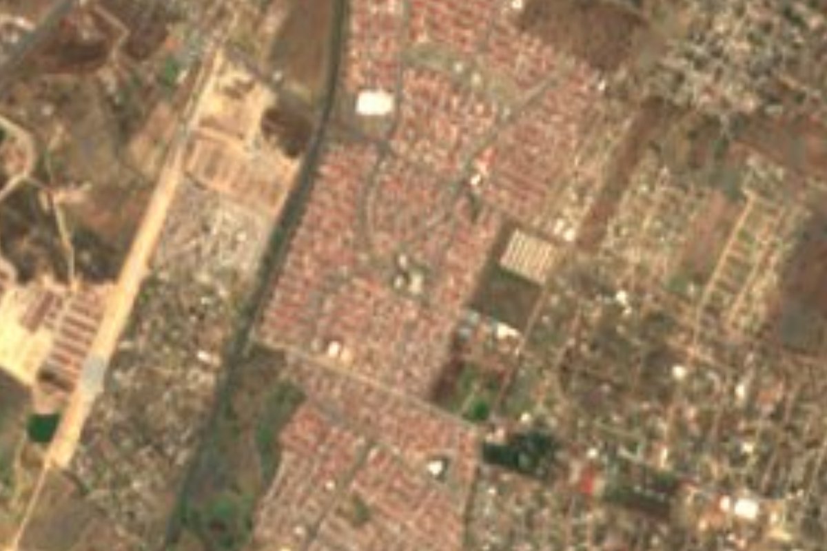
Town Tizayuca, Hidalgo
A housing development of about 20,000 people in Tizayuca, inside the Mexico City metropolitan zone, with a park in each section and a cultural centre.
From Pachuca: 30 min by car (36 km by road) How to get there ↓
Near here
See everything nearby ↓


Plan your visit to Don Antonio
Where to stay near Don Antonio
Compare hotels, posadas and guest houses in Don Antonio.
Tours to Don Antonio
Day trips around Teotihuacán sometimes stop in Don Antonio; a tour is the easy way to see it without a car.
How to get to Don Antonio
- From Pachuca: about 30 min by road (~36 km)
- Nearest airport: Mexico City (Felipe Ángeles) (NLU), 35 min by car to Teotihuacán
Links open a partner site. We may earn a commission if you book, at no cost to you.
About Don Antonio
Don Antonio, also known as Fraccionamiento Rancho Don Antonio or Quma, is a housing development in the northeast of the municipality of Tizayuca, in the valley of the same name. It is not an old village and has no monuments: it is a recent housing development. Tizayuca, for its part, is the only Hidalgo municipality officially part of Mexico City's metropolitan area. It stands at 2,320 metres and borders Olmos to the north, El Cid to the east, Las Plazas to the west and Tepojaco to the south.
The 2020 census counted 20,691 residents, 12.29% of the municipality, in 4,588 homes, nearly all of one or two storeys. The development is split into five sections: 3 and 1 in the north, 2 in the middle, 4 and 5 in the south, each subdivided into private streets. Every section has its own park; the one in section 1 has a five-a-side football court, playground equipment and a basketball court.
Public life centres on section 2, home to the Casa de Piedra, a cultural centre with chess, zumba and tailoring workshops, a medical and dental clinic, English classes, the property-tax office and the youth institute. Section 3 has a day centre for older adults. There are two public primary schools, two kindergartens and one public lower-secondary school, plus private schools, and the local living is mostly neighbourhood trade: hardware stores, tortillerías, stationers and bakeries, with a Bodega Aurrera supermarket and an Oxxo.
How to get to Don Antonio
Drive from Pachuca: 30 min, 36 km
Don Antonio lies in the Tizayuca valley, in the northeast of the municipality, and belongs to the Mexico City metropolitan zone. From the capital the way is the 85D corridor toward Pachuca. In Wikipedia's list, Tizayuca appears among the destinations of the public routes from Indios Verdes, Potrero and the Central del Norte, along with Ecatepec, Tecámac, Zumpango and Villa de Tezontepec.
Measured straight, Pachuca is about 34 km off (40 minutes by estimate) and Teotihuacán, the area's Pueblo Mágico, about 22 km (25 minutes); on the road both distances rise.
Directions to Don Antonio on Google Maps
Distances are in a straight line; the road is usually longer.
Links open a partner site. We may earn a commission if you book, at no cost to you.
From the nearest cities to Don Antonio
- Pachuca · 36 km by road, 30 min
- Mexico City · 58 km by road, 50 min
- Tulancingo · 81 km by road, 1 h 5 min
Drive times by road from OpenStreetMap, without traffic or stops. Times marked ~ are estimated from the straight-line distance.
Visiting Don Antonio: what to see and do
Casa de Piedra, the cultural centre in section 2
The section 1 park, with five-a-side football and basketball courts
Day centre for older adults in section 3
Neighbourhood shops and the Bodega Aurrera
Plan your trip
Places to stay in Don Antonio
Compare hotels, posadas, and rentals in and around Don Antonio.
Tours & activities
Day trips around Teotihuacán sometimes stop in Don Antonio; a tour is the easy way to see it without a car.
Rental cars
Pick up a car at NLU (Mexico City (Felipe Ángeles)): about 35 min by road to Teotihuacán, then 22 km more to Don Antonio, on your own schedule.
Flights
The nearest airport with scheduled flights is Mexico City (Felipe Ángeles) (NLU), about 35 min by road from Teotihuacán, the base for Don Antonio.
Mobile data
Signal can drop away from Teotihuacán: download a map of the way to Don Antonio before you set out, or carry an eSIM with data.
Links open a partner site. We may earn a commission if you book, at no cost to you.
When to go to Don Antonio mild
Don Antonio shares the climate of Teotihuacán, 22 km away. The best months to visit are January, February, March, and December.
See the month-by-month climate of Teotihuacán
Weather in Don Antonio now and the next 7 days
Live forecast from Open-Meteo. Chance of rain is the day's highest.
The closest Pueblo Mágico: Teotihuacán

Teotihuacán is the Pueblo Mágico closest to Don Antonio, with places to stay, food, and more to see.
Also close to
- Otumba · Estado de México · 27 km away
- Zempoala · Hidalgo · 28 km away
- Tepotzotlán · Estado de México · 35 km away
- Real del Monte · Hidalgo · 40 km away
- Mineral del Chico · Hidalgo · 42 km away
Closest to Don Antonio
-
Temascalapa · Town · 6 km away
-
Tizayuca · Town · 6 km away
-
Ixtlahuaca de Cuauhtémoc · Village · 8 km away
-
Tolcayuca · Town · 9 km away
-
Los Reyes Acozac · Town · 12 km away
-
Tezontepec · Town · 12 km away
-
Morelos · Village · 13 km away
-
San Lucas Xolox · Town · 13 km away
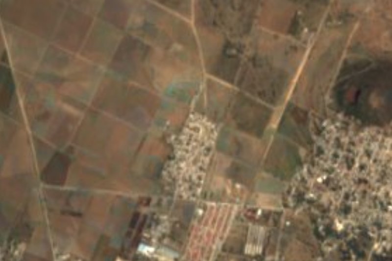

Near Don Antonio


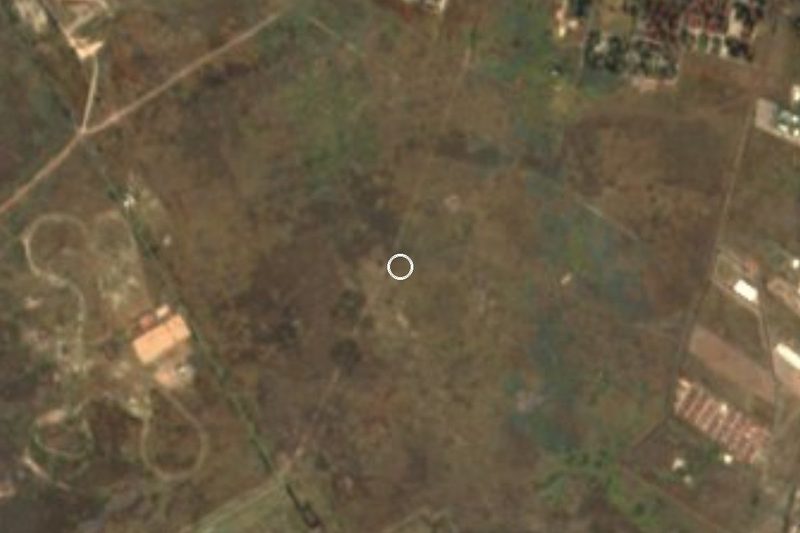


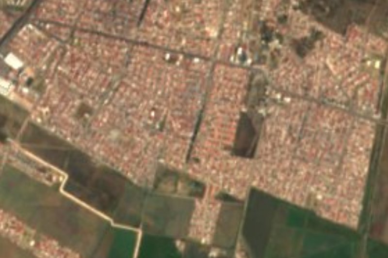
Drive times by road from OpenStreetMap, without traffic. Times marked ~ are estimated from the straight-line distance.
Location from OpenStreetMap. Written by Puebloteca.