

Town Tolcayuca, Hidalgo
Tizayuca-valley town with a 16th-century Franciscan church, a Holy Week Judea play and maguey-rope and leather saddlery.
From Pachuca: 30 min by car (30 km by road) How to get there ↓
Near here
See everything nearby ↓

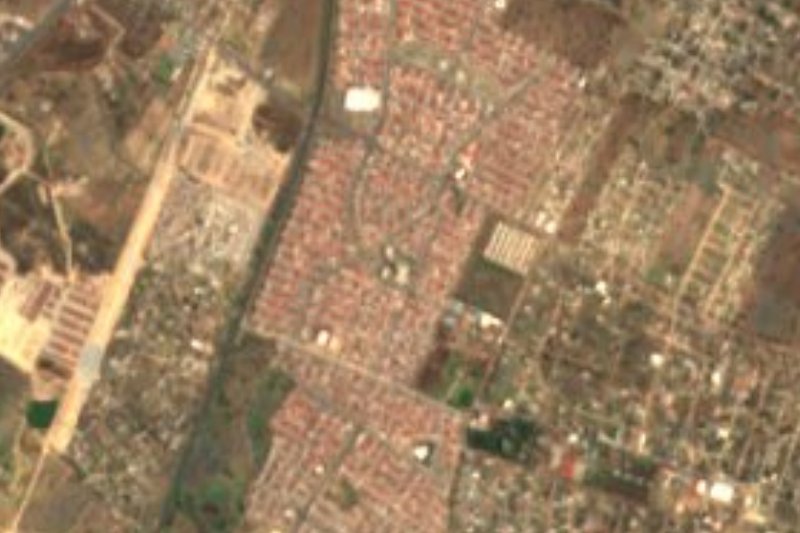


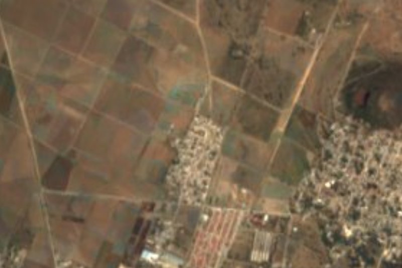
Plan your visit to Tolcayuca
Where to stay near Tolcayuca
Compare hotels, posadas and guest houses in Tolcayuca.
Tours to Tolcayuca
Day trips around Zempoala sometimes stop in Tolcayuca; a tour is the easy way to see it without a car.
How to get to Tolcayuca
- From Pachuca: about 30 min by road (~30 km)
- Nearest airport: Mexico City (Felipe Ángeles) (NLU), 58 min by car to Zempoala
Links open a partner site. We may earn a commission if you book, at no cost to you.
About Tolcayuca
There are two readings of the name. The municipal encyclopedia translates it as "place where the head is bowed", from the Nahuatl tolocayotl; others link it to Tolcuauhyocan, "place of thick reeds", as it appears in the 17th-century Techialoyan codices, where the town is listed as San Xuan Tolquauhyocan, and in the Codex Xólotl, with a glyph of reed and tree. According to the same encyclopedia, around the year 800 Toltecs and Chichimecs lived here under Nopaltzin, son of Xólotl, within the kingdom of Acolhuacan, later conquered by the Mexica ruler Itzcóatl. Tolcayuca became a municipality in 1873. The town, at 2,378 metres in the Tizayuca valley, had 8,966 residents in 2020, only about a fifth of the municipality.
Its main building is the church of San Juan Bautista, built by the Franciscans in the mid-16th century: a single nave with a barrel vault divided into four bays by three transverse arches on plain pilasters. The plain chapel of San Pedro stands on Plaza Independencia, and the town also has the chapel of the Purísima Concepción, from 1860, the chapel of San Salvador and a monument to Benito Juárez. A primary school was already running in 1867, and since 2008 the town has been the seat of the Universidad Politécnica Metropolitana de Hidalgo.
The patron feast is San Juan Bautista on 24 June, and on 16 September, after the Grito, there is a dance, charrería, cockfights and fireworks. In Holy Week the town stages the Judea, a play with Judas as the main character, performed by men of all ages in handmade masks and colourful costumes. Local crafts revolve around the maguey and the horse: maguey ropes, saddles, belts and girths. To eat there are carnitas, chicharrón, chicken and mutton barbacoa, candied squash and fermented maguey drinks.
How to get to Tolcayuca
Drive from Pachuca: 30 min, 30 km
Tolcayuca is about 30 km from Pachuca by road (around 30 minutes by car) and about 71 km from Mexico City (around 1 hour).
There is no direct bus from Pachuca's Central de Autobuses or Mexico City's Terminal Norte. From central Pachuca, state-run buses of Hidalgo's transport ministry reach Téllez station or the México–Pachuca highway in about 40 minutes, every 15 minutes, and you continue by taxi. From Mexico City, State of Mexico mass-transit buses leave Indios Verdes every 30 minutes heading north, with connections to Tizayuca, also finishing by taxi. Zempoala, the nearest Pueblo Mágico, is about 27 km away in a straight line.
Directions to Tolcayuca on Google Maps
Distances are in a straight line; the road is usually longer.
Links open a partner site. We may earn a commission if you book, at no cost to you.
From the nearest cities to Tolcayuca
- Pachuca · 30 km by road, 30 min
- Mexico City · 72 km by road, 1 h 5 min
- Tulancingo · 78 km by road, 1 h 5 min
Drive times by road from OpenStreetMap, without traffic or stops. Times marked ~ are estimated from the straight-line distance.
Before you go to Tolcayuca: hours, prices and tips
- Best season
- Judea play in Holy Week; San Juan Bautista on 24 June; Independence festivities on 16 September. INAFED Enciclopedia de los Municipios; Wikimedia Commons · checked Oct 2026
Hours and prices change, especially around holidays. Each fact links to where we checked it.
Visiting Tolcayuca: what to see and do
The 16th-century Franciscan church of San Juan Bautista
The chapel of San Pedro on Plaza Independencia
The chapel of the Purísima Concepción, from 1860
The Holy Week Judea, with handmade masks
Maguey ropes, saddles and horse girths
The San Juan Bautista feast, 24 June
Plan your trip
Places to stay in Tolcayuca
Compare hotels, posadas, and rentals in and around Tolcayuca.
Tours & activities
Day trips around Zempoala sometimes stop in Tolcayuca; a tour is the easy way to see it without a car.
Rental cars
Pick up a car at NLU (Mexico City (Felipe Ángeles)): about 58 min by road to Zempoala, then 27 km more to Tolcayuca, on your own schedule.
Flights
The nearest airport with scheduled flights is Mexico City (Felipe Ángeles) (NLU), about 58 min by road from Zempoala, the base for Tolcayuca.
Mobile data
Signal can drop away from Zempoala: download a map of the way to Tolcayuca before you set out, or carry an eSIM with data.
Links open a partner site. We may earn a commission if you book, at no cost to you.
When to go to Tolcayuca cool
Tolcayuca shares the climate of Zempoala, 27 km away. The best months to visit are January, February, November, and December.
See the month-by-month climate of Zempoala
Weather in Tolcayuca now and the next 7 days
Live forecast from Open-Meteo. Chance of rain is the day's highest.
The closest Pueblo Mágico: Zempoala

Zempoala is the Pueblo Mágico closest to Tolcayuca, with places to stay, food, and more to see.
Also close to
- Teotihuacán · Estado de México · 30 km away
- Real del Monte · Hidalgo · 33 km away
- Mineral del Chico · Hidalgo · 33 km away
- Otumba · Estado de México · 34 km away
- Tepotzotlán · Estado de México · 41 km away
Closest to Tolcayuca
-
San Pedro Huaquilpan · Town · 7 km away
-
Zapotlán de Juárez · Village · 7 km away
-
Don Antonio · Town · 9 km away
-
Ixtlahuaca de Cuauhtémoc · Village · 10 km away
-
Acayuca · Town · 11 km away
-
Morelos · Village · 13 km away
-
Santa María Ajoloapan · Town · 13 km away
-
Temascalapa · Town · 14 km away


Near Tolcayuca




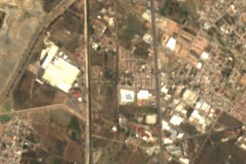


Drive times by road from OpenStreetMap, without traffic. Times marked ~ are estimated from the straight-line distance.
Location from OpenStreetMap. Written by Puebloteca.