Town Zapotlán de Juárez, Hidalgo Municipality of Zapotlán de Juárez
A locality of Zapotlán de Juárez at 2,387 metres, inside the Pachuca metropolitan area, with a chapel of St Peter and its stepped bell tower.
From Pachuca: 20 min by car (22 km by road) How to get there ↓
Near here
See everything nearby ↓


Plan your visit to San Pedro Huaquilpan
Where to stay near San Pedro Huaquilpan
Compare hotels, posadas and guest houses in San Pedro Huaquilpan.
Tours to San Pedro Huaquilpan
Day trips around Zempoala sometimes stop in San Pedro Huaquilpan; a tour is the easy way to see it without a car.
How to get to San Pedro Huaquilpan
- From Pachuca: about 20 min by road (~22 km)
- Nearest airport: Mexico City (Felipe Ángeles) (NLU), 58 min by car to Zempoala
Links open a partner site. We may earn a commission if you book, at no cost to you.
About San Pedro Huaquilpan
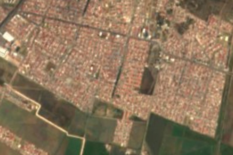
San Pedro Huaquilpan stands at 2,387 metres, a little lower than its neighbour Acayuca, on a strip of plain and ridge at the foot of the Sierra de Tezontlalpan. Administratively it is Zapotlán de Juárez, and it belongs to the Pachuca de Soto metropolitan area. The 2020 census counted 5,231 inhabitants, 24.13% of the municipality, living in 1,234 private homes. Rainwater runs on toward the Tezontepec river and from there into the Moctezuma basin.
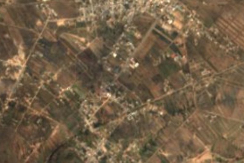
To understand the farmland around it you have to look at the whole municipality, which covers 105 km² and has 18,748 inhabitants. Zapotlán comes from Nahuatl and means "place of sapote trees"; the municipality was created on 8 September 1935. The average annual temperature is 16.2 °C and about 532 mm of rain falls, from March to September. The vegetation is scattered scrub and grassland, and wild animals include skunk, squirrel, coyote, rabbit and mole. In 2015 barley was the main crop, with 4,357 hectares sown, ahead of maize (638 ha), and the most numerous livestock were sheep (7,803 head).
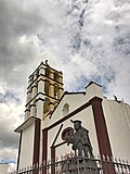
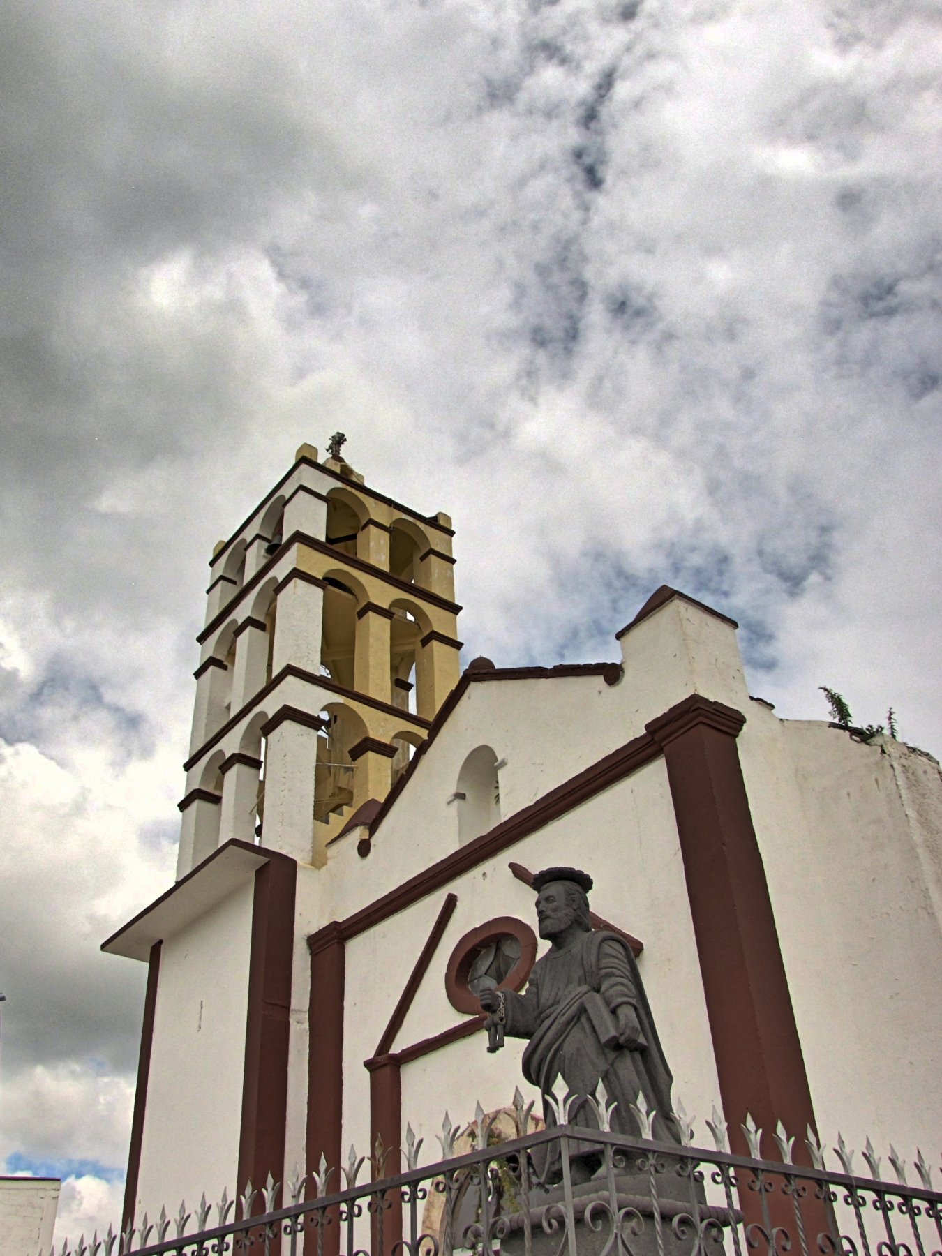
The picture of the village on Wikimedia Commons is the chapel of San Pedro: a whitewashed front with wine-coloured mouldings, a multi-stage bell tower with yellow bell arches and, beside the churchyard railing, a stone statue of the saint holding keys. The municipality's other localities are close: Acayuca, the largest, is about 5 km to the northeast.
How to get to San Pedro Huaquilpan
Drive from Pachuca: 20 min, 22 km
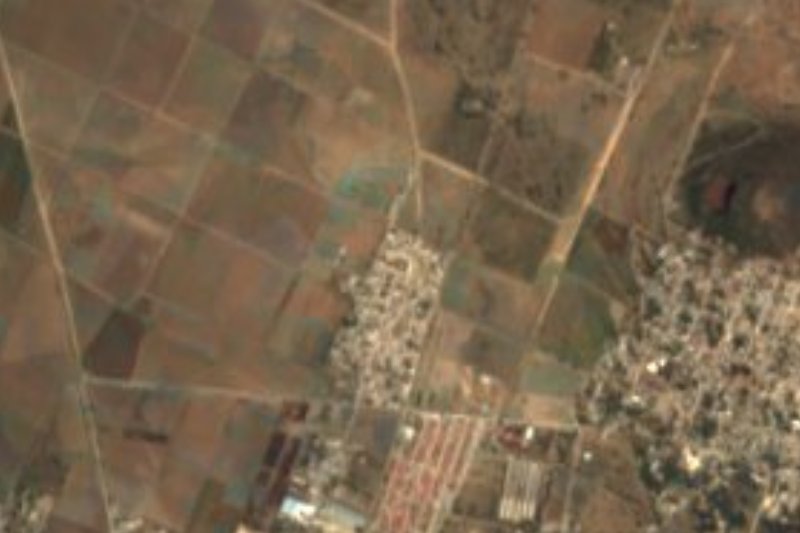
Huaquilpan is in southern Hidalgo, some 5 km southwest of Acayuca. The area's main road reference is the Mexico City-Pachuca autopista; from Acayuca the roads fan out toward Zapotlán, the municipal seat.
To leave the capital, Wikipedia names three points with routes to Pachuca: Indios Verdes, Potrero and the Central del Norte. In a straight line Pachuca is some 19 km away and Zempoala some 22 km, with estimated times of 20 and 25 minutes; since those figures ignore the bends, the real drive is longer.
Directions to San Pedro Huaquilpan on Google Maps
Distances are in a straight line; the road is usually longer.
Links open a partner site. We may earn a commission if you book, at no cost to you.
From the nearest cities to San Pedro Huaquilpan
- Pachuca · 22 km by road, 20 min
- Tulancingo · 67 km by road, 1 h 5 min
- Mexico City · 75 km by road, 1 h 5 min
Drive times by road from OpenStreetMap, without traffic or stops. Times marked ~ are estimated from the straight-line distance.
Visiting San Pedro Huaquilpan: what to see and do
Chapel of San Pedro, with its multi-stage bell tower
Statue of St Peter with his keys, beside the churchyard railing
Barley fields of the municipality of Zapotlán de Juárez
Acayuca, the municipality's largest locality, about 5 km to the northeast
Plan your trip
Places to stay in San Pedro Huaquilpan
Compare hotels, posadas, and rentals in and around San Pedro Huaquilpan.
Tours & activities
Day trips around Zempoala sometimes stop in San Pedro Huaquilpan; a tour is the easy way to see it without a car.
Rental cars
Pick up a car at NLU (Mexico City (Felipe Ángeles)): about 58 min by road to Zempoala, then 22 km more to San Pedro Huaquilpan, on your own schedule.
Flights
The nearest airport with scheduled flights is Mexico City (Felipe Ángeles) (NLU), about 58 min by road from Zempoala, the base for San Pedro Huaquilpan.
Mobile data
Signal can drop away from Zempoala: download a map of the way to San Pedro Huaquilpan before you set out, or carry an eSIM with data.
Links open a partner site. We may earn a commission if you book, at no cost to you.
When to go to San Pedro Huaquilpan cool
San Pedro Huaquilpan shares the climate of Zempoala, 22 km away. The best months to visit are January, February, November, and December.
See the month-by-month climate of Zempoala
Weather in San Pedro Huaquilpan now and the next 7 days
Live forecast from Open-Meteo. Chance of rain is the day's highest.
The closest Pueblo Mágico: Zempoala

Zempoala is the Pueblo Mágico closest to San Pedro Huaquilpan, with places to stay, food, and more to see.
Also close to
- Real del Monte · Hidalgo · 26 km away
- Mineral del Chico · Hidalgo · 27 km away
- Teotihuacán · Estado de México · 33 km away
- Otumba · Estado de México · 35 km away
- Huasca de Ocampo · Hidalgo · 37 km away
Closest to San Pedro Huaquilpan
-
Zapotlán de Juárez · Village · 2 km away
-
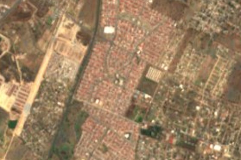
Acayuca · Town · 5 km away
-
Tolcayuca · Town · 7 km away
-
Ixtlahuaca de Cuauhtémoc · Village · 12 km away
-
Morelos · Village · 12 km away
-
Cipreses · Village · 13 km away
-
Forjadores de Pachuca · Village · 13 km away
-
Santiago Tlapacoya · Village · 13 km away
Near San Pedro Huaquilpan





Drive times by road from OpenStreetMap, without traffic. Times marked ~ are estimated from the straight-line distance.
Location from OpenStreetMap. Written by Puebloteca.