

Village Temascalapa, Estado de México Valley of Mexico Teotihuacan Valley
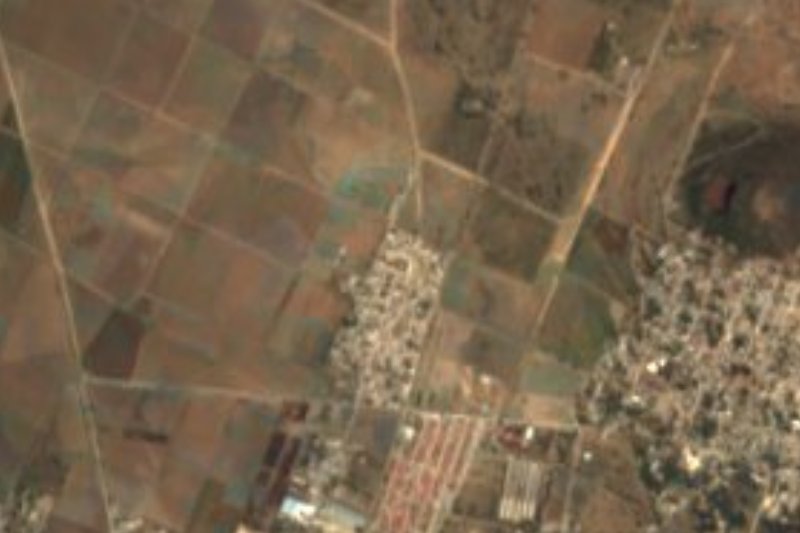
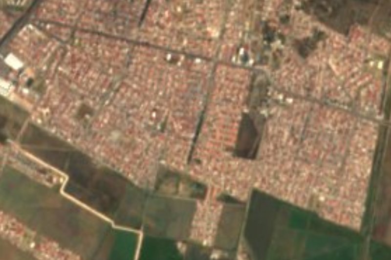
Plains village north-east of Temascalapa at 2,345 m, with bicycle taxis and a freight line crossing the fields; the name means "in front of the plain".
From Pachuca: 35 min by car (34 km by road) How to get there ↓
Near here
See everything nearby ↓



Plan your visit to Ixtlahuaca de Cuauhtémoc
Where to stay near Ixtlahuaca de Cuauhtémoc
Compare hotels, posadas and guest houses in Ixtlahuaca de Cuauhtémoc.
Tours to Ixtlahuaca de Cuauhtémoc
Day trips and guided outings from Zempoala often include Ixtlahuaca de Cuauhtémoc; with a local guide you can get there without a car.
 Tours from Zacatlan
Zacatlán Guided Tour walking through the Center
★ 5.0 (2) · From US$8
How to get to Ixtlahuaca de Cuauhtémoc
- From Pachuca: about 35 min by road (~34 km)
- Nearest airport: Mexico City (Felipe Ángeles) (NLU), 58 min by car to Zempoala
Links open a partner site. We may earn a commission if you book, at no cost to you.
Tours from Zacatlan, near Ixtlahuaca de Cuauhtémoc
Tours, prices and ratings from Viator, checked weekly. We may earn a commission if you book.
About Ixtlahuaca de Cuauhtémoc
On the plain north-east of Temascalapa, at 2,345 m, Ixtlahuaca de Cuauhtémoc had 3,829 residents in 2020, up from 1,210 in 1900. Wikipedia explains the name from Nahuatl: ixtli, "plain", and huacan, "in front of", so "in front of the plain"; Cuauhtémoc honours the last Mexica ruler. It lies about 7 km from the municipal seat and about 57 km in a straight line from Mexico City's Zócalo.
What sets it apart is its transport: bicycle taxis, which Wikipedia says make Ixtlahuaca one of the few communities in the metropolitan area still using them. Freight trains pass through the municipality daily; at Presa del Rey, in the same municipality, the rustic shell of an old passenger station still stands.
For food and atmosphere you go to Temascalapa: the weekend market on the Plaza de la Constitución sells barbacoa, mixiotes and cheeses, and other markets in the municipality sell natural and cured pulque. The municipal patron feast is San Francisco de Asís, which peaks on the night of 4 October. Temascalapa borders Teotihuacán to the south and ranges from 2,200 to 2,700 m in elevation.
How to get to Ixtlahuaca de Cuauhtémoc
Drive from Pachuca: 35 min, 34 km
Ixtlahuaca de Cuauhtémoc is about 7 km (straight line) north-east of Temascalapa. According to Wikipedia, buses leave Martín Carrera metro station in Mexico City, run through Tecámac and Tizayuca and reach Temascalapa; there are also combis to Tecámac, Otumba and Axapusco. From the seat you continue by combi, bicycle taxi or car; there is no published published timetable for that last stretch. In a straight line Pachuca is about 29 km away and Mexico City's Zócalo about 57 km, though no published travel time exists for the whole trip.
Directions to Ixtlahuaca de Cuauhtémoc on Google Maps
Distances are in a straight line; the road is usually longer.
Links open a partner site. We may earn a commission if you book, at no cost to you.
From the nearest cities to Ixtlahuaca de Cuauhtémoc
- Pachuca · 34 km by road, 35 min
- Tulancingo · 68 km by road, 1 h 5 min
- Mexico City · 69 km by road, 1 h 5 min
Drive times by road from OpenStreetMap, without traffic or stops. Times marked ~ are estimated from the straight-line distance.
Before you go to Ixtlahuaca de Cuauhtémoc: hours, prices and tips
- Best season
- The municipal patron feast, San Francisco de Asís, peaks on the night of 4 October; the Temascalapa market runs on weekends. Wikipedia · checked Oct 2026
Hours and prices change, especially around holidays. Each fact links to where we checked it.
Visiting Ixtlahuaca de Cuauhtémoc: what to see and do
Take a bicycle-taxi ride around Ixtlahuaca, one of the few metropolitan communities that keeps them.
Watch a freight train pass on the line that skirts the village.
Go to Temascalapa on a weekend for the market on the Plaza de la Constitución: barbacoa, mixiotes and cheeses.
Try natural or cured pulque at the municipality's markets.
If you arrive on 4 October, join the night of the San Francisco de Asís feast in Temascalapa.
Look at the old passenger station at Presa del Rey.
Plan your trip
Places to stay in Ixtlahuaca de Cuauhtémoc
Compare hotels, posadas, and rentals in and around Ixtlahuaca de Cuauhtémoc.
Tours & activities
Day trips and guided outings from Zempoala often include Ixtlahuaca de Cuauhtémoc; with a local guide you can get there without a car.
Rental cars
Pick up a car at NLU (Mexico City (Felipe Ángeles)): about 58 min by road to Zempoala, then 20 km more to Ixtlahuaca de Cuauhtémoc, on your own schedule.
Flights
The nearest airport with scheduled flights is Mexico City (Felipe Ángeles) (NLU), about 58 min by road from Zempoala, the base for Ixtlahuaca de Cuauhtémoc.
Mobile data
Signal can drop away from Zempoala: download a map of the way to Ixtlahuaca de Cuauhtémoc before you set out, or carry an eSIM with data.
Links open a partner site. We may earn a commission if you book, at no cost to you.
When to go to Ixtlahuaca de Cuauhtémoc cool
Ixtlahuaca de Cuauhtémoc shares the climate of Zempoala, 20 km away. The best months to visit are January, February, November, and December.
See the month-by-month climate of Zempoala
Weather in Ixtlahuaca de Cuauhtémoc now and the next 7 days
Live forecast from Open-Meteo. Chance of rain is the day's highest.
The closest Pueblo Mágico: Zempoala

Zempoala is the Pueblo Mágico closest to Ixtlahuaca de Cuauhtémoc, with places to stay, food, and more to see.
Also close to
- Teotihuacán · Estado de México · 21 km away
- Otumba · Estado de México · 23 km away
- Real del Monte · Hidalgo · 35 km away
- Mineral del Chico · Hidalgo · 38 km away
- Tepotzotlán · Estado de México · 42 km away
Closest to Ixtlahuaca de Cuauhtémoc
-
Tezontepec · Town · 4 km away
-
Morelos · Village · 5 km away
-
Temascalapa · Town · 7 km away
-
Don Antonio · Town · 8 km away
-
Tolcayuca · Town · 10 km away
-
Zapotlán de Juárez · Village · 10 km away
-
San Pedro Huaquilpan · Town · 12 km away
-
Tizayuca · Town · 13 km away


Near Ixtlahuaca de Cuauhtémoc







Drive times by road from OpenStreetMap, without traffic. Times marked ~ are estimated from the straight-line distance.
Location from OpenStreetMap. Written by Puebloteca.