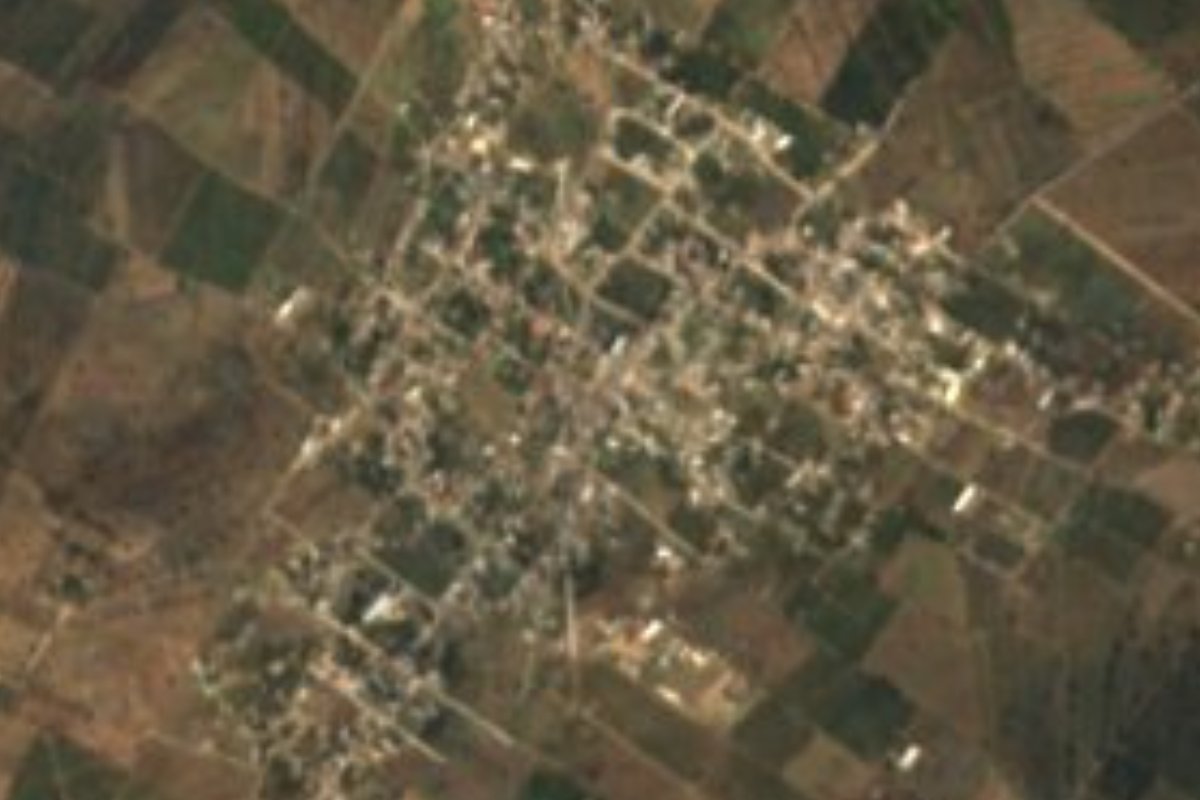
Village Nopaltepec, Estado de México Municipality of Nopaltepec Valley of Mexico Teotihuacan Valley
Largest locality in Nopaltepec, on the farming plain of Edomex's far northeast, about 5 km from the monumental arcade of the Tembleque aqueduct.
From Pachuca: 40 min by car (41 km by road) How to get there ↓
Near here
See everything nearby ↓


Plan your visit to San Felipe Teotitlán
Where to stay near San Felipe Teotitlán
Compare hotels, posadas and guest houses in San Felipe Teotitlán.
Tours to San Felipe Teotitlán
Day trips and guided outings from Zempoala often include San Felipe Teotitlán; with a local guide you can get there without a car.
 Tours from Zacatlan
Zacatlán Guided Tour walking through the Center
★ 5.0 (2) · From US$8
How to get to San Felipe Teotitlán
- From Pachuca: about 40 min by road (~41 km)
- Nearest airport: Mexico City (Felipe Ángeles) (NLU), 58 min by car to Zempoala
Links open a partner site. We may earn a commission if you book, at no cost to you.
Tours from Zacatlan, near San Felipe Teotitlán
Tours, prices and ratings from Viator, checked weekly. We may earn a commission if you book.
About San Felipe Teotitlán
San Felipe Teotitlán lies in the far northeast of the State of Mexico, in Nopaltepec municipality, at 2,453 m on a flat farming plain. INEGI counted 3,974 people in 2010, making it the most populous locality in the municipality. It sits about two kilometres north of Nopaltepec, the municipal seat, joined by a paved road, and roughly five kilometres south of the Hidalgo border. The name already appears in local history around the year 1200, when the king of Xaltocan posted boundary guards at Nopaltepec, Teotitlán and Atepoxco.
What there is to see is nearby: the Padre Tembleque Aqueduct, about five kilometres north, where the Papalote river forms the state line with Hidalgo. Friar Francisco de Tembleque planned it to bring water from the springs of Cerro El Tecajete to Otumba, and in 1562 the water reached a fountain in the middle of that town. Its largest section, the Monumental Arcade, has 68 round arches over 904 m and reaches 38.75 m high. It is a UNESCO World Heritage site.
Before the Conquest the shortest route between the Gulf coast and Tenochtitlan ran through this municipality, the road along which fresh fish was said to travel to Moctezuma's table. Today people live from farming (nopal and prickly pear in July and August) and from sewing workshops. A single well in San Felipe supplies the whole municipality. It is a working village; there is no published tourist services of its own, and the reason to come is the aqueduct.
How to get to San Felipe Teotitlán
Drive from Pachuca: 40 min, 41 km
San Felipe Teotitlán is about 2 km north of Nopaltepec on a paved road, and about 2 km west of federal highway 132 (México-Tulancingo). From Otumba it is about 13 km straight-line (roughly 15 to 20 minutes by car) and from Pachuca about 35 km straight-line (roughly 40 minutes); Venta de Cruz, on the México-Tulancingo route, is another locality of the municipality. There is no published published bus or colectivo timetables: ask about those that run to Nopaltepec from Otumba or from the terminals on the Tulancingo route.
Directions to San Felipe Teotitlán on Google Maps
Distances are in a straight line; the road is usually longer.
Links open a partner site. We may earn a commission if you book, at no cost to you.
From the nearest cities to San Felipe Teotitlán
- Pachuca · 41 km by road, 40 min
- Tulancingo · 54 km by road, 45 min
- San Martín Texmelucan · 79 km by road, 1 h
Drive times by road from OpenStreetMap, without traffic or stops. Times marked ~ are estimated from the straight-line distance.
Visiting San Felipe Teotitlán: what to see and do
Visit the Monumental Arcade of the Padre Tembleque Aqueduct, about 5 km north, on the Papalote river.
Drive through the nopal and prickly-pear plain (the tuna fruit ripens in July and August).
Go on to Nopaltepec, 2 km south, where the Virgin of the Asunción is venerated.
Plan your trip
Places to stay in San Felipe Teotitlán
Compare hotels, posadas, and rentals in and around San Felipe Teotitlán.
Tours & activities
Day trips and guided outings from Zempoala often include San Felipe Teotitlán; with a local guide you can get there without a car.
Rental cars
Pick up a car at NLU (Mexico City (Felipe Ángeles)): about 58 min by road to Zempoala, then 13 km more to San Felipe Teotitlán, on your own schedule.
Flights
The nearest airport with scheduled flights is Mexico City (Felipe Ángeles) (NLU), about 58 min by road from Zempoala, the base for San Felipe Teotitlán.
Mobile data
Signal can drop away from Zempoala: download a map of the way to San Felipe Teotitlán before you set out, or carry an eSIM with data.
Links open a partner site. We may earn a commission if you book, at no cost to you.
When to go to San Felipe Teotitlán cool
San Felipe Teotitlán shares the climate of Zempoala, 13 km away. The best months to visit are January, February, November, and December.
See the month-by-month climate of Zempoala
Weather in San Felipe Teotitlán now and the next 7 days
Live forecast from Open-Meteo. Chance of rain is the day's highest.
The closest Pueblo Mágico: Zempoala

Zempoala is the Pueblo Mágico closest to San Felipe Teotitlán, with places to stay, food, and more to see.
Also close to
- Otumba · Estado de México · 13 km away
- Teotihuacán · Estado de México · 19 km away
- Real del Monte · Hidalgo · 38 km away
- Mineral del Chico · Hidalgo · 45 km away
- Huasca de Ocampo · Hidalgo · 46 km away
Closest to San Felipe Teotitlán
-
Nopaltepec · Town · 3 km away
-
Acueducto del Padre Tembleque · Landmark · 6 km away
-
Axapusco · Town · 11 km away
-
Ciudad Sahagún · Town · 13 km away
-
Tezontepec · Town · 15 km away
-
Zona Arqueológica de Xihuingo · Archaeological site · 15 km away
-
Morelos · Village · 16 km away
-
Tepeapulco · Town · 16 km away
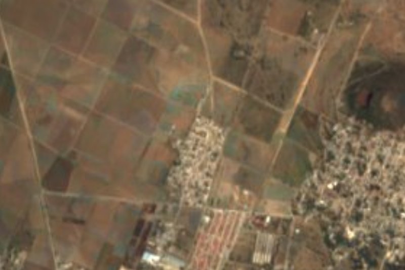

Near San Felipe Teotitlán


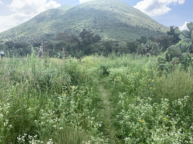


Drive times by road from OpenStreetMap, without traffic. Times marked ~ are estimated from the straight-line distance.
Location from OpenStreetMap. Written by Puebloteca.