Village Eloxochitlán, Hidalgo
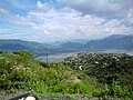
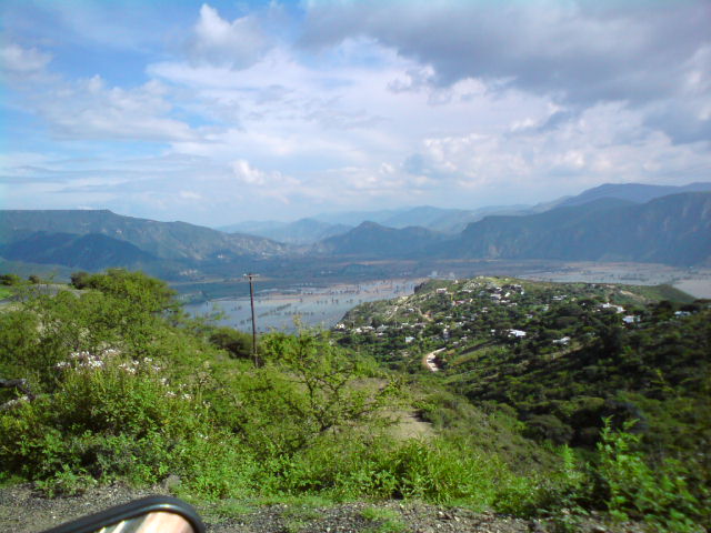
San Juan Hualula, the largest community in Eloxochitlán: 975 people at 1,474 m, with its church of San Juan, in the Sierra Madre Oriental.
From Pachuca: 1 h 55 min by car (109 km by road) How to get there ↓
Near here
See everything nearby ↓



Plan your visit to Hualula
Where to stay near Hualula
Compare hotels, posadas and guest houses in Hualula.
Tours to Hualula
Day trips and guided outings from Metztitlán often include Hualula; with a local guide you can get there without a car.
 Tours from Xilitla
Surrealist Garden of Edward James, Castle of Health and Xilitla Nativity
★ 4.3 (10) · From US$100
How to get to Hualula
- From Pachuca: about 1 h 55 min by road (~109 km)
- Nearest airport: Mexico City (Felipe Ángeles) (NLU), 2 h 18 min by car to Metztitlán
Links open a partner site. We may earn a commission if you book, at no cost to you.
Tours from Xilitla, near Hualula


Tours, prices and ratings from Viator, checked weekly. We may earn a commission if you book.
About Hualula
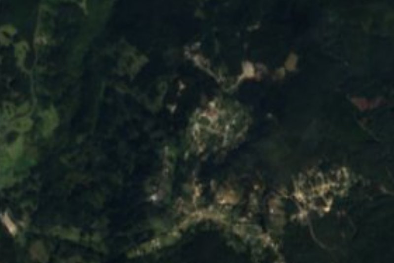
San Juan Hualula, usually just Hualula, is the largest community in the municipality of Eloxochitlán: 975 people in 2020, 37.6% of the whole municipality, living in 271 homes. It sits at 1,474 metres, about 6.7 km southwest of the municipal seat, on plateaus and ridges of the Carso Huasteco in the Sierra Madre Oriental. Less than a kilometre northwest lies El Puerto de Jiliapa, a little over a kilometre northeast rises Cerro Zontzacuile (1,785 m), and the Los Canes and La Cebada mesas close the horizon a bit farther out.
The climate is dry and semi-warm, and water runs to the Metztitlán river sub-basin. The municipality's own description says the sky is overcast most of the year, with frosts and even snow in winter. Part of its territory belongs to the Barranca de Metztitlán Biosphere Reserve, decreed on 27 November 2000; the hills carry pine, white cedar and oak, and deer, flying squirrel, wild boar and bobcat have been recorded.
INEGI lists among the municipality's architectural monuments the church of San Juan, which stands in Hualula, alongside those of San Agustín and San Pedro. Baskets and hats woven from willow switches used to be made here; today craftspeople work palm, leather (machete sheaths, huaraches) and cedar-wood masks sold mostly for carnival. The kitchen is known for zacahuil, revoltijo, pork carnitas, beef barbacoa and enchiladas with cecina, with cane liquor to drink.
How to get to Hualula
Drive from Pachuca: 1 h 55 min, 109 km
Hualula is about 6.7 km southwest of Eloxochitlán, the municipal seat, according to Wikipedia. Near the village OpenStreetMap shows state road HGO 37 and local streets such as Vicente Guerrero and Morelos, with a few unpaved tracks. INEGI's map distinguishes two-lane road, dirt roads and footpaths in the municipality.
To Metztitlán, the nearest Pueblo Mágico, Pueblos América estimates 21 km and about 20 minutes by car to the southeast. Rome2rio gives roughly 81 km and 1 h 18 min by car from Pachuca to Metztitlán, so from Pachuca it is about 100 km in all. By bus, Rome2rio lists for Molango (14 km in a straight line from Hualula) an Autobuses Conexión service from Mexico City's Terminal Central del Norte every four hours, about 4 h 12 min; there is no direct service from Pachuca, so check times before leaving.
Directions to Hualula on Google Maps
Distances are in a straight line; the road is usually longer.
Links open a partner site. We may earn a commission if you book, at no cost to you.
From the nearest cities to Hualula
- Pachuca · 109 km by road, 1 h 55 min
- San Juan del Río · about 165 km by road, ~2 h 25 min
- Tulancingo · 151 km by road, 2 h 35 min
Drive times by road from OpenStreetMap, without traffic or stops. Times marked ~ are estimated from the straight-line distance.
Visiting Hualula: what to see and do
The church of San Juan, one of three churches INEGI highlights in the municipality.
Cerro Zontzacuile (1,785 m), a little over 1 km to the northeast.
The Los Canes and La Cebada mesas, 2.6 and 4.1 km away on foot.
The Eloxochitlán tianguis market, held on Fridays in the municipal seat.
Cedar-wood masks, a local craft sold mostly at carnival time.
Plan your trip
Places to stay in Hualula
Compare hotels, posadas, and rentals in and around Hualula.
Tours & activities
Day trips and guided outings from Metztitlán often include Hualula; with a local guide you can get there without a car.
Rental cars
Pick up a car at NLU (Mexico City (Felipe Ángeles)): about 2 h 18 min by road to Metztitlán, then 16 km more to Hualula, on your own schedule.
Flights
The nearest airport with scheduled flights is Mexico City (Felipe Ángeles) (NLU), about 2 h 18 min by road from Metztitlán, the base for Hualula.
Mobile data
Signal can drop away from Metztitlán: download a map of the way to Hualula before you set out, or carry an eSIM with data.
Links open a partner site. We may earn a commission if you book, at no cost to you.
When to go to Hualula mild
Hualula shares the climate of Metztitlán, 16 km away. The best months to visit are January, February, March, and December.
See the month-by-month climate of Metztitlán
Weather in Hualula now and the next 7 days
Live forecast from Open-Meteo. Chance of rain is the day's highest.
The closest Pueblo Mágico: Metztitlán

Metztitlán is the Pueblo Mágico closest to Hualula, with places to stay, food, and more to see.
Also close to
- Mineral del Chico · Hidalgo · 57 km away
- Zimapán · Hidalgo · 57 km away
- Huasca de Ocampo · Hidalgo · 62 km away
- Real del Monte · Hidalgo · 66 km away
- Xilitla · San Luis Potosí · 77 km away
Closest to Hualula
-
Laguna de Metztitlán · Lake · 4 km away
-
Juárez Hidalgo · Village · 8 km away
-
Laguna de Atezca · Lake · 14 km away
-
Molango · Town · 14 km away
-
Alumbres · Village · 16 km away
-
Grutas de Tolantongo · Hot springs · 18 km away
-
Lolotla · Village · 19 km away
-
Zacualtipán · Town · 20 km away


Near Hualula




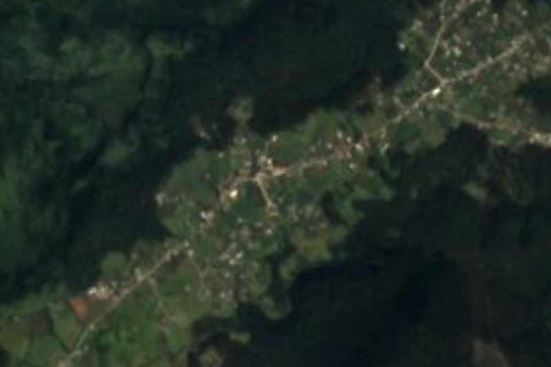
Drive times by road from OpenStreetMap, without traffic. Times marked ~ are estimated from the straight-line distance.
Location from OpenStreetMap. Written by Puebloteca.