

Village Jacala de Ledezma, Hidalgo Municipality of Jacala de Ledezma
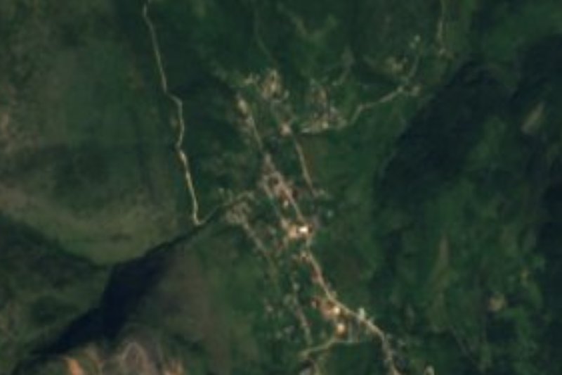
Seat of Jacala de Ledezma in Hidalgo's Sierra Gorda at 1,333 m, with a clock tower covered in murals of the huapango and local farming.
From Rioverde: about 2 h 30 min by road (~170 km) How to get there ↓
Near here
See everything nearby ↓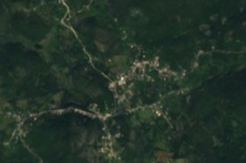




Plan your visit to Jacala
Where to stay near Jacala
Compare hotels, posadas and guest houses in Jacala.
Tours to Jacala
Day trips and guided outings from Zimapán often include Jacala; with a local guide you can get there without a car.
 Tours from Xilitla
Surrealist Garden of Edward James, Castle of Health and Xilitla Nativity
★ 4.3 (10) · From US$100
How to get to Jacala
- From Rioverde: about 2 h 30 min by road (~170 km)
- Nearest airport: Querétaro (QRO), 2 h 23 min by car to Zimapán
Links open a partner site. We may earn a commission if you book, at no cost to you.
Tours from Xilitla, near Jacala


Tours, prices and ratings from Viator, checked weekly. We may earn a commission if you book.
About Jacala
Jacala is the seat of the municipality of Jacala de Ledezma, in the Hidalgo part of the Sierra Gorda, at 1,333 metres. The name comes from Nahuatl xacalli, 'jacal' (a simple hut), and means 'place of jacales'; the municipality adds 'de Ledezma' in honour of Colonel Guadalupe Ledezma. The terrain is limestone sierra (the Sierra Madre Oriental, in the Huasteca karst), with a semi-warm, sub-humid climate and an average annual temperature around 24 °C. With 4,582 inhabitants in 2020 it holds 37% of the municipality's population, which in 1900 barely topped 1,200.
The town's best-known sight is the monumental clock in the main square: a square tower with a tile roof that for years was painted in muted two-tone colours. In 2020 the municipality had murals painted across its flat faces, showing the town's founder, its farming, its food and the huapango. At 6 pm the clock plays a huapango tune instead of the national anthem, a habit it shares with the older clock towers of Pachuca and Huejutla.
Jacala borders Zimapán, Pacula and, to the west, Landa de Matamoros in Querétaro. Part of the municipal territory lies inside Los Mármoles National Park, decreed on 8 September 1936 and covering about 23,150 hectares, and the countryside has small lagoons and many jagüeyes (farm ponds) used as watering holes for livestock.
How to get to Jacala
Jacala is on federal highway 85 (Mexico-Laredo): on Wikivoyage's route diagram it is the next stop north of Ixmiquilpan toward Tamazunchale. From Pachuca it is about 184 km by road (114 miles, per Rome2rio). Zimapán, the nearest Pueblo Mágico, is about 36 km as the crow flies, roughly 40 minutes by car. By bus, that route aggregator lists Pachuca-Jacala services by AVM (Autotransportes Valle del Mezquital), about 3 h 50 min with four departures a day, and by Ovnibus, about 4 h 40 min; schedules change, so confirm with the line before you go. From Mexico City the usual approach is to reach Pachuca first (ADO buses from the Terminal Norte, about every 30 minutes) or Ixmiquilpan (its bus station is small and serves a few lines) and continue north.
Directions to Jacala on Google Maps
Distances are in a straight line; the road is usually longer.
Links open a partner site. We may earn a commission if you book, at no cost to you.
From the nearest cities to Jacala
- Rioverde · about 170 km by road, ~2 h 30 min
- Querétaro · about 175 km by road, ~2 h 35 min
- Pachuca · 183 km by road, 3 h
Drive times by road from OpenStreetMap, without traffic or stops. Times marked ~ are estimated from the straight-line distance.
Before you go to Jacala: hours, prices and tips
- Best season
- At 6 pm the monumental clock plays a huapango tune instead of the national anthem. Mexico News Daily (clock towers of Hidalgo) · checked Oct 2026
Hours and prices change, especially around holidays. Each fact links to where we checked it.
Visiting Jacala: what to see and do
The monumental clock in the main square, with murals of the founder, farming, local food and the huapango
The huapango tune played at 6 pm instead of the national anthem
Murals along the town's streets
Los Mármoles National Park, which covers part of the municipality
The limestone ranges of the Sierra Gorda seen from the highway
Plan your trip
Places to stay in Jacala
Compare hotels, posadas, and rentals in and around Jacala.
Tours & activities
Day trips and guided outings from Zimapán often include Jacala; with a local guide you can get there without a car.
Rental cars
Pick up a car at QRO (Querétaro): about 2 h 23 min by road to Zimapán, then 36 km more to Jacala, on your own schedule.
Flights
The nearest airport with scheduled flights is Querétaro (QRO), about 2 h 23 min by road from Zimapán, the base for Jacala.
Mobile data
Signal can drop away from Zimapán: download a map of the way to Jacala before you set out, or carry an eSIM with data.
Links open a partner site. We may earn a commission if you book, at no cost to you.
When to go to Jacala mild
Jacala shares the climate of Zimapán, 36 km away. The best months to visit are January, February, March, and December.
See the month-by-month climate of Zimapán
Weather in Jacala now and the next 7 days
Live forecast from Open-Meteo. Chance of rain is the day's highest.
The closest Pueblo Mágico: Zimapán

Zimapán is the Pueblo Mágico closest to Jacala, with places to stay, food, and more to see.
Also close to
- Jalpan · Querétaro · 37 km away
- San Joaquín · Querétaro · 40 km away
- Xilitla · San Luis Potosí · 47 km away
- Pinal de Amoles · Querétaro · 48 km away
- Metztitlán · Hidalgo · 65 km away
Closest to Jacala
-
El Pinalito · Village · 4 km away
-
La Encarnación · Town · 15 km away
-
Parque Nacional Los Mármoles · Nature reserve · 15 km away
-
Jiliapan · Village · 16 km away
-
Misión de Tilaco · Landmark · 17 km away
-
La Ciénega · Village · 24 km away
-
Misión de Landa · Landmark · 24 km away
-
Nicolás Flores · Village · 27 km away


Near Jacala





Drive times by road from OpenStreetMap, without traffic. Times marked ~ are estimated from the straight-line distance.
Location from OpenStreetMap. Written by Puebloteca.