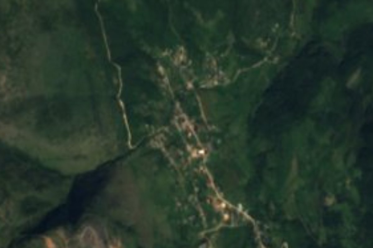
Village Pacula, Hidalgo
The largest community in Pacula municipality: 1,008 people at 1,460 m in a Sierra Gorda valley, with smelting ovens from an old mine.
From Ciudad Valles: about 2 h 15 min by road (~150 km) How to get there ↓
Near here
See everything nearby ↓



Plan your visit to Jiliapan
Where to stay near Jiliapan
Compare hotels, posadas and guest houses in Jiliapan.
Tours to Jiliapan
Day trips and guided outings from San Joaquín often include Jiliapan; with a local guide you can get there without a car.
 Tours from Xilitla
Surrealist Garden of Edward James, Castle of Health and Xilitla Nativity
★ 4.3 (10) · From US$100
How to get to Jiliapan
- From Ciudad Valles: about 2 h 15 min by road (~150 km)
- Nearest airport: Querétaro (QRO), 2 h 16 min by car to San Joaquín
Links open a partner site. We may earn a commission if you book, at no cost to you.
Tours from Xilitla, near Jiliapan


Tours, prices and ratings from Viator, checked weekly. We may earn a commission if you book.
About Jiliapan
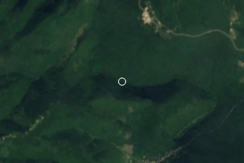
Jiliapan is the largest community in Pacula municipality: 1,008 people in 2020, 21% of the total. It sits at 1,460 metres at the edge of the Sierra Gorda, in a narrow valley open to the northeast. The village still has the smelting ovens where metal brought from the local old mine was worked; INEGI's map even shows a hill by that name, Mina Vieja, and on the same sheet Cerro Grande and Cruz Grande, both above 2,200 metres.
In 1958 and 1960 the anthropologist Leonardo Manrique Castañeda spent periods in Jiliapan and described a farming village of about 600 people: mostly maize, plus arvejón peas, beans, squash, chile and barley, on limestone soils with three or four low-flow springs that were not enough to irrigate except at La Vega. Oaks, conifers and arbutus grew around it, and ash, poplar and huizache in the valley itself. He recorded three groups living in different zones: mestizos in El Centro, El Barrio and La Vega, Pames (locally called 'chichimecos') in El Bordo, and Otomi in Las Lomas. It is a portrait from more than six decades ago.
The municipal seat, Pacula, lies about 9 km to the northeast in a straight line and holds the church of San Juan Bautista and a statue of Miguel Hidalgo beside the bandstand. Part of the municipality belongs to Los Mármoles National Park, decreed in 1936, and rain falls mostly from May to September; Jiliapan's climate is temperate subhumid.
How to get to Jiliapan
Pacula, the municipal seat, lies about 9 km northeast of Jiliapan in a straight line; Jacala de Ledezma is about 16 km east and Zimapán about 27 km south. Pueblos América estimates about 55 km and 40 minutes by car to Zimapán. INEGI's 2010 map shows only dirt roads and tracks in the municipality; OpenStreetMap now shows a paved tertiary road near the village and local streets, some of them dirt, such as Calle 5 de Mayo. In 1958 an INAH study described access as a bridle path of about six hours from Jacala.
By public transport, Rome2rio lists Ovnibus from Zimapán to Jacala every four hours (1 h 40 min) and to Mexico City's Terminal Central del Norte every hour (about 4 h 7 min); there is no direct bus from Zimapán to Pacula, only a bus to Jacala and then a taxi.
Directions to Jiliapan on Google Maps
Distances are in a straight line; the road is usually longer.
Links open a partner site. We may earn a commission if you book, at no cost to you.
From the nearest cities to Jiliapan
- Ciudad Valles · about 150 km by road, ~2 h 15 min
- Rioverde · about 165 km by road, ~2 h 25 min
- Pachuca · 165 km by road, 3 h 5 min
Drive times by road from OpenStreetMap, without traffic or stops. Times marked ~ are estimated from the straight-line distance.
Visiting Jiliapan: what to see and do
The smelting ovens for metal from the old mine, in the village itself.
The valley's traditional sectors: El Centro, El Barrio Blanco, La Vega, El Bordo and Las Lomas.
Cerro Cruz Grande (2,205 m) and Cerro Grande (2,242 m), 2.6 and 2.9 km on foot to the west and northwest.
The church of San Juan Bautista and the bandstand with the Hidalgo statue, in Pacula.
Los Mármoles National Park, which covers part of the municipality.
Plan your trip
Places to stay in Jiliapan
Compare hotels, posadas, and rentals in and around Jiliapan.
Tours & activities
Day trips and guided outings from San Joaquín often include Jiliapan; with a local guide you can get there without a car.
Rental cars
Pick up a car at QRO (Querétaro): about 2 h 16 min by road to San Joaquín, then 24 km more to Jiliapan, on your own schedule.
Flights
The nearest airport with scheduled flights is Querétaro (QRO), about 2 h 16 min by road from San Joaquín, the base for Jiliapan.
Mobile data
Signal can drop away from San Joaquín: download a map of the way to Jiliapan before you set out, or carry an eSIM with data.
Links open a partner site. We may earn a commission if you book, at no cost to you.
When to go to Jiliapan cool
Jiliapan shares the climate of San Joaquín, 24 km away. The best months to visit are February, March, April, and May.
See the month-by-month climate of San Joaquín
Weather in Jiliapan now and the next 7 days
Live forecast from Open-Meteo. Chance of rain is the day's highest.
The closest Pueblo Mágico: San Joaquín

San Joaquín is the Pueblo Mágico closest to Jiliapan, with places to stay, food, and more to see.
Also close to
- Zimapán · Hidalgo · 27 km away
- Jalpan · Querétaro · 29 km away
- Pinal de Amoles · Querétaro · 34 km away
- Xilitla · San Luis Potosí · 58 km away
- Tecozautla · Hidalgo · 58 km away
Closest to Jiliapan
-
Jacala · Village · 16 km away
-
Parque Nacional Los Mármoles · Nature reserve · 17 km away
-
La Encarnación · Town · 18 km away
-
Cascadas Las Maravillas · Waterfall · 19 km away
-
El Pinalito · Village · 19 km away
-
Zona Arqueológica de Tancama · Archaeological site · 20 km away
-
Zona Arqueológica de Toluquilla · Archaeological site · 22 km away
-
Misión de Landa · Landmark · 23 km away

Near Jiliapan






Drive times by road from OpenStreetMap, without traffic. Times marked ~ are estimated from the straight-line distance.
Location from OpenStreetMap. Written by Puebloteca.