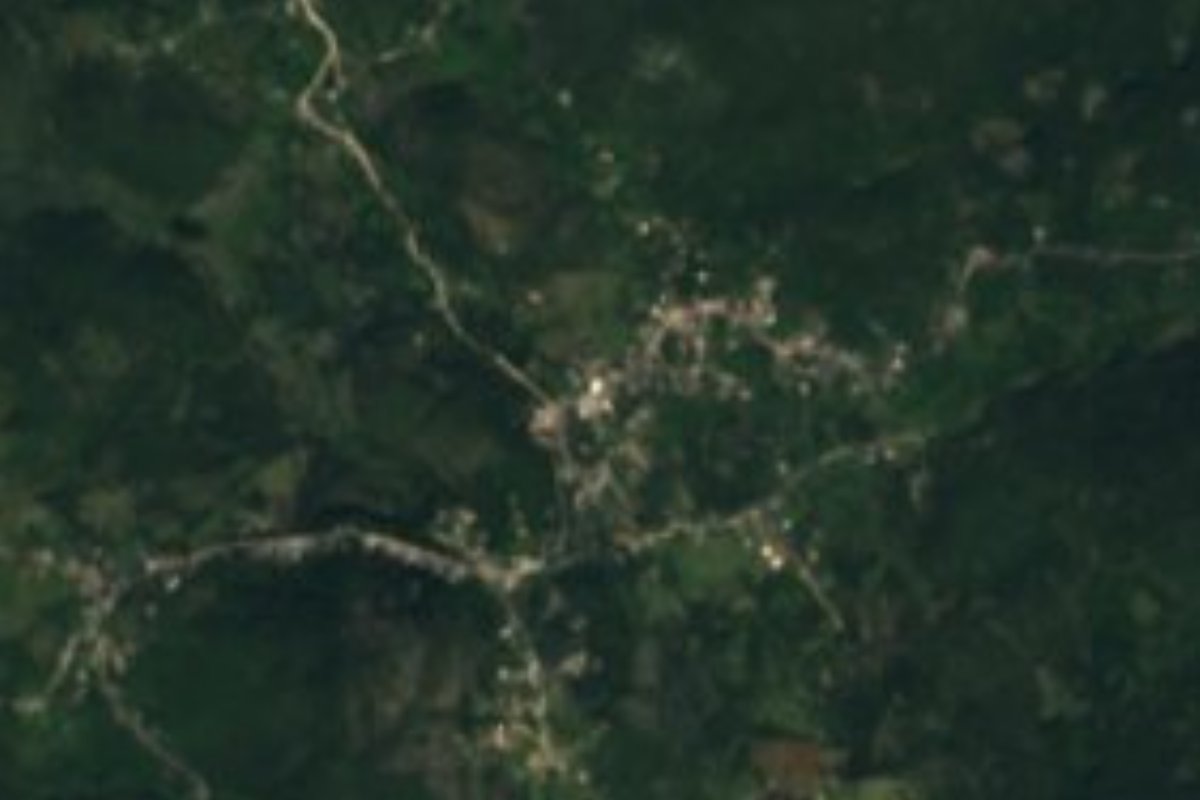
Village Jacala de Ledezma, Hidalgo Municipality of Jacala de Ledezma
Community of 641 people at 1,644 m in the Sierra Gorda, about 3 km from Jacala de Ledezma.
From Rioverde: about 2 h 35 min by road (~175 km) How to get there ↓
Near here
See everything nearby ↓



Plan your visit to El Pinalito
Where to stay near El Pinalito
Compare hotels, posadas and guest houses in El Pinalito.
Tours to El Pinalito
Day trips and guided outings from Zimapán often include El Pinalito; with a local guide you can get there without a car.
 Tours from Xilitla
Surrealist Garden of Edward James, Castle of Health and Xilitla Nativity
★ 4.3 (10) · From US$100
How to get to El Pinalito
- From Rioverde: about 2 h 35 min by road (~175 km)
- Nearest airport: Querétaro (QRO), 2 h 23 min by car to Zimapán
Links open a partner site. We may earn a commission if you book, at no cost to you.
Tours from Xilitla, near El Pinalito


Tours, prices and ratings from Viator, checked weekly. We may earn a commission if you book.
About El Pinalito
El Pinalito stands at 1,644 metres in the Sierra Gorda, inside Jacala de Ledezma municipality. It is the third largest of the municipality's 52 localities, with 641 people in the 2020 census, 5.22% of the municipal total. PueblosAmérica puts it about 3 km from Jacala, the seat.
The setting is limestone sierra, in the Carso Huasteco of the Sierra Madre Oriental. Local water drains to the Amajac River sub-basin, which joins the Moctezuma. The climate is semi-warm and sub-humid with summer rain; the rain falls mostly in summer.
The population has been a few hundred for more than a century: 442 in 1900, 502 in 1940, 602 in 1950, a peak of 731 in 2000 and 641 in 2020. Part of the municipality lies inside Los Mármoles National Park, decreed on 8 September 1936 with 23,150 hectares, and the municipal hills carry oak, ocote pine, juniper and palm; wildlife includes white-tailed deer, grey fox and wild turkey.
The seat's name, Jacala, comes from Nahuatl Xacallan, 'place of the huts', and also honours Colonel Guadalupe Ledezma. The municipality mostly grows maize (2,512 hectares in 2015) and raises pigs and cattle.
How to get to El Pinalito
El Pinalito is reached through Jacala de Ledezma, about 3 km away. From Pachuca there are buses to Jacala run by AVM (Autotransportes Valle del Mezquital, which sells tickets as Ovnibus), about 4 departures a day, with a trip of between 3 h 50 min and 4 h 40 min depending on the listing. The most practical route is to reach Pachuca first and continue to Jacala. In a straight line the community is about 39 km from Zimapán (approx. 45 minutes; PueblosAmérica counts about 74 minutes by car) and about 109 km from Ciudad Valles.
Directions to El Pinalito on Google Maps
Distances are in a straight line; the road is usually longer.
Links open a partner site. We may earn a commission if you book, at no cost to you.
From the nearest cities to El Pinalito
- Rioverde · about 175 km by road, ~2 h 35 min
- Tulancingo · about 175 km by road, ~2 h 35 min
- Pachuca · 190 km by road, 3 h 5 min
Drive times by road from OpenStreetMap, without traffic or stops. Times marked ~ are estimated from the straight-line distance.
Visiting El Pinalito: what to see and do
Limestone hills of the Sierra Gorda around the community
Jacala, the municipal seat, about 3 km away
Los Mármoles National Park, which covers part of the municipality
Oak, ocote pine and juniper woodland of the sierra
Plan your trip
Places to stay in El Pinalito
Compare hotels, posadas, and rentals in and around El Pinalito.
Tours & activities
Day trips and guided outings from Zimapán often include El Pinalito; with a local guide you can get there without a car.
Rental cars
Pick up a car at QRO (Querétaro): about 2 h 23 min by road to Zimapán, then 39 km more to El Pinalito, on your own schedule.
Flights
The nearest airport with scheduled flights is Querétaro (QRO), about 2 h 23 min by road from Zimapán, the base for El Pinalito.
Mobile data
Signal can drop away from Zimapán: download a map of the way to El Pinalito before you set out, or carry an eSIM with data.
Links open a partner site. We may earn a commission if you book, at no cost to you.
When to go to El Pinalito mild
El Pinalito shares the climate of Zimapán, 39 km away. The best months to visit are January, February, March, and December.
See the month-by-month climate of Zimapán
Weather in El Pinalito now and the next 7 days
Live forecast from Open-Meteo. Chance of rain is the day's highest.
The closest Pueblo Mágico: Zimapán

Zimapán is the Pueblo Mágico closest to El Pinalito, with places to stay, food, and more to see.
Also close to
- Jalpan · Querétaro · 39 km away
- San Joaquín · Querétaro · 43 km away
- Xilitla · San Luis Potosí · 44 km away
- Pinal de Amoles · Querétaro · 50 km away
- Metztitlán · Hidalgo · 64 km away
Closest to El Pinalito
-
Jacala · Village · 4 km away
-
Misión de Tilaco · Landmark · 16 km away
-
La Encarnación · Town · 17 km away
-
Parque Nacional Los Mármoles · Nature reserve · 18 km away
-
Jiliapan · Village · 19 km away
-
Misión de Landa · Landmark · 24 km away
-
La Ciénega · Village · 25 km away
-
Neblinas · Village · 27 km away


Near El Pinalito


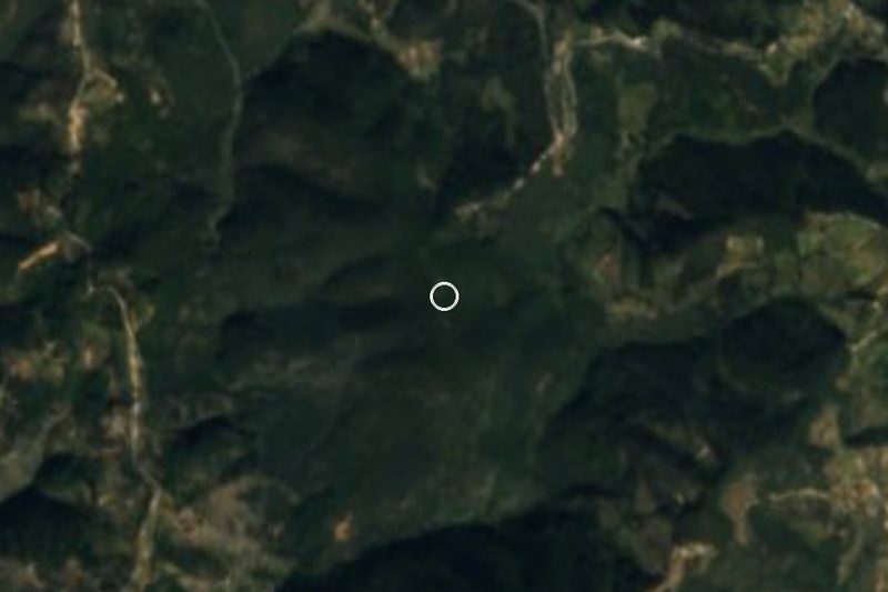
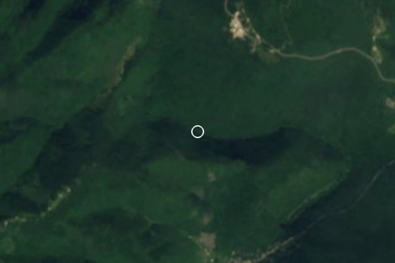


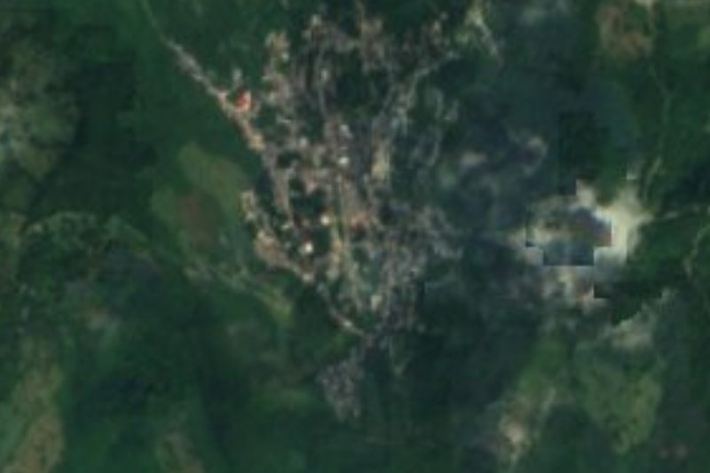
Drive times by road from OpenStreetMap, without traffic. Times marked ~ are estimated from the straight-line distance.
Location from OpenStreetMap. Written by Puebloteca.