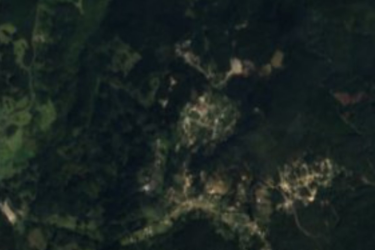
Village Metztitlán, Hidalgo Municipality of Metztitlán
Plateau community at 2,101 m in Metztitlán municipality, about 16 km from the Pueblo Mágico and 3 km from roadside eateries in Zacualtipán.
From Pachuca: 1 h 35 min by car (100 km by road) How to get there ↓
Near here
See everything nearby ↓


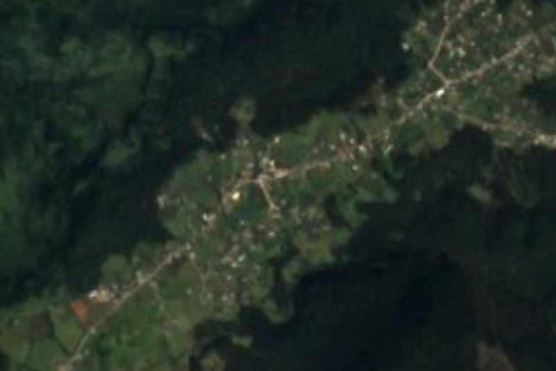
Plan your visit to Alumbres
Where to stay near Alumbres
Compare hotels, posadas and guest houses in Alumbres.
Tours to Alumbres
Day trips and guided outings from Metztitlán often include Alumbres; with a local guide you can get there without a car.
 Tours from Xilitla
Surrealist Garden of Edward James, Castle of Health and Xilitla Nativity
★ 4.3 (10) · From US$100
How to get to Alumbres
- From Pachuca: about 1 h 35 min by road (~100 km)
- Nearest airport: Mexico City (Felipe Ángeles) (NLU), 2 h 18 min by car to Metztitlán
Links open a partner site. We may earn a commission if you book, at no cost to you.
Tours from Xilitla, near Alumbres


Tours, prices and ratings from Viator, checked weekly. We may earn a commission if you book.
About Alumbres
Alumbres sits on a plateau of the Sierra Alta, 2,101 metres above sea level, in Metztitlán municipality. INEGI counted 576 residents in 2020, 285 men and 291 women, against 427 in 2005. At that height the climate is temperate and sub-humid with summer rain and an average of about 13 °C; in the winter of 2008 a 2.5 cm snowfall was recorded, according to the weather series Pueblos América compiles.
Water here drains toward the Metztitlán river sub-basin, and that name, which in Nahuatl means "place of the moon", gives the whole region its identity. The municipality holds part of the Metztitlán Canyon, declared a Biosphere Reserve, and has a low share of indigenous-language speakers (12.5%), very unlike the Huasteca. In Alumbres seven in ten homes have a mobile phone, but only one in ten has internet.
The practical side of the place is its position: the nearest eateries in INEGI's business directory are not in the community but in Zacualtipán, about 3 kilometres off, along the Mexico-Tampico federal highway. Cerro Alto (2,210 m), some 6 km south, and Cerro El Escorpión (2,675 m) to the northwest give a sense of the mountain relief around the plateau. For a longer stay the natural base is Metztitlán, with its Augustinian convent.
How to get to Alumbres
Drive from Pachuca: 1 h 35 min, 100 km
Alumbres lies about 11 km northeast of Metztitlán in a straight line and roughly 16 km by road (about 23 minutes by car, per Pueblos América). The municipal seat is 81 km from Pachuca and 175 km from Mexico City. The spine of the area is federal highway 105, which runs from Pachuca to Huejutla through Mineral del Monte, Atotonilco el Grande, San Agustín Metzquititlán and Zacualtipán; about 3 km from Alumbres there are restaurants along the federal road where it passes Zacualtipán, so that stretch is a handy landmark.
Without a car, the sensible way is to reach Pachuca or Metztitlán and ask there for local transport. From Pachuca it is about 62 km as the crow flies, approx. 70 minutes by car, and the trip is easier with your own vehicle.
Directions to Alumbres on Google Maps
Distances are in a straight line; the road is usually longer.
Links open a partner site. We may earn a commission if you book, at no cost to you.
From the nearest cities to Alumbres
- Pachuca · 100 km by road, 1 h 35 min
- Tulancingo · 107 km by road, 1 h 50 min
- Huauchinango · 132 km by road, 2 h 15 min
Drive times by road from OpenStreetMap, without traffic or stops. Times marked ~ are estimated from the straight-line distance.
Visiting Alumbres: what to see and do
The Alumbres plateau, at 2,101 m in the Sierra Alta
Cerro Alto (2,210 m), about 6 km south
Cerro El Escorpión (2,675 m), to the northwest
Zacualtipán, about 3 km away, for a meal on the federal highway
Convento La Comunidad in Metztitlán, about 16 km off
Plan your trip
Places to stay in Alumbres
Compare hotels, posadas, and rentals in and around Alumbres.
Tours & activities
Day trips and guided outings from Metztitlán often include Alumbres; with a local guide you can get there without a car.
Rental cars
Pick up a car at NLU (Mexico City (Felipe Ángeles)): about 2 h 18 min by road to Metztitlán, then 12 km more to Alumbres, on your own schedule.
Flights
The nearest airport with scheduled flights is Mexico City (Felipe Ángeles) (NLU), about 2 h 18 min by road from Metztitlán, the base for Alumbres.
Mobile data
Signal can drop away from Metztitlán: download a map of the way to Alumbres before you set out, or carry an eSIM with data.
Links open a partner site. We may earn a commission if you book, at no cost to you.
When to go to Alumbres mild
Alumbres shares the climate of Metztitlán, 12 km away. The best months to visit are January, February, March, and December.
See the month-by-month climate of Metztitlán
Weather in Alumbres now and the next 7 days
Live forecast from Open-Meteo. Chance of rain is the day's highest.
The closest Pueblo Mágico: Metztitlán

Metztitlán is the Pueblo Mágico closest to Alumbres, with places to stay, food, and more to see.
Also close to
- Mineral del Chico · Hidalgo · 52 km away
- Huasca de Ocampo · Hidalgo · 53 km away
- Real del Monte · Hidalgo · 59 km away
- Pahuatlán · Puebla · 71 km away
- Zimapán · Hidalgo · 72 km away
Closest to Alumbres
-
Zacualtipán · Town · 4 km away
-
Molango · Town · 14 km away
-
Hualula · Village · 16 km away
-
Laguna de Atezca · Lake · 16 km away
-
Capilla de Santa María Xoxoteco · Landmark · 18 km away
-
Carpinteros · Village · 18 km away
-
Laguna de Metztitlán · Lake · 18 km away
-
Santa María Xoxoteco · Village · 18 km away


Near Alumbres



Drive times by road from OpenStreetMap, without traffic. Times marked ~ are estimated from the straight-line distance.
Location from OpenStreetMap. Written by Puebloteca.