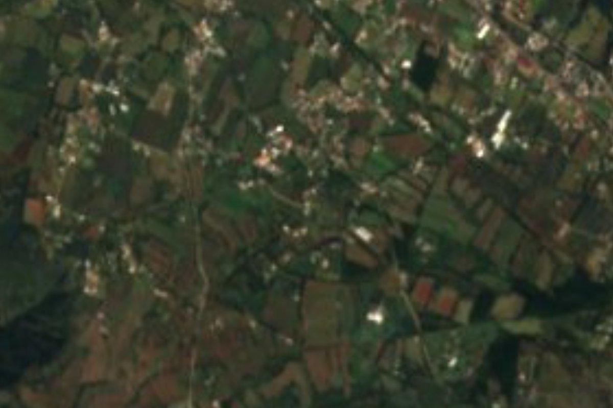
Village Atotonilco el Grande, Hidalgo Municipality of Atotonilco el Grande Hidalgo Mountain Corridor Comarca Minera Geopark
A locality of 1,195 people at 2,120 m, 1.5 km from Atotonilco el Grande, in Hidalgo's Sierra Baja.
From Pachuca: 35 min by car (32 km by road) How to get there ↓
Near here
See everything nearby ↓


Plan your visit to La Puebla
Where to stay near La Puebla
Compare hotels, posadas and guest houses in La Puebla.
Tours to La Puebla
Day trips and guided outings from Huasca de Ocampo often include La Puebla; with a local guide you can get there without a car.
 Tours from Zacatlan
Zacatlán Guided Tour walking through the Center
★ 5.0 (2) · From US$8
How to get to La Puebla
- From Pachuca: about 35 min by road (~32 km)
- Nearest airport: Mexico City (Felipe Ángeles) (NLU), 1 h 21 min by car to Huasca de Ocampo
Links open a partner site. We may earn a commission if you book, at no cost to you.
Tours from Zacatlan, near La Puebla
Tours, prices and ratings from Viator, checked weekly. We may earn a commission if you book.
About La Puebla
La Puebla sits in Hidalgo's Sierra Baja, at 2,120 metres and only 1.5 km south-south-west of Atotonilco el Grande, whose seat has about 8,400 residents. Here live 1,195 people in 309 dwellings, 4% of the municipality, on ground that mixes plain and sierra.
The climate is temperate and sub-humid with summer rain, among the wetter ones in the area, and runoff goes to the Río Amajac sub-basin, part of the Moctezuma basin. The village has had its ups and downs: it counted 504 residents in 1960 and 406 in 1970, but has risen almost without pause since, to 605 in 1980, 680 in 1995, 786 in 2005 and 928 in 2010, up to the 1,195 of 2020. Marginalisation is medium, though social lag is very low.
Its bigger neighbour has a long history. Atotonilco, "on the hot water" in Nahuatl, was in pre-Hispanic times an Otomí settlement with a Nahua presence and the head of a tributary province conquered by Moctezuma I; the seat keeps its single-nave church and the former Augustinian convent from the 16th century. Anyone reaching La Puebla can round off the visit there, a short hop away.
How to get to La Puebla
Drive from Pachuca: 35 min, 32 km
La Puebla is about 1.5 km south-south-west of Atotonilco el Grande, which is itself some 37 km from Pachuca, according to Wikipedia. In a straight line Pachuca is about 19 km from La Puebla and Huasca de Ocampo, the nearest Pueblo Mágico, about 11 km (roughly 15 minutes); the road distance is longer. The practical route is to reach Atotonilco el Grande first, by car or public transport from Pachuca, and cover the last few minutes south on a local road. If you have no car, ask in the seat for taxis or colectivos.
Directions to La Puebla on Google Maps
Distances are in a straight line; the road is usually longer.
Links open a partner site. We may earn a commission if you book, at no cost to you.
From the nearest cities to La Puebla
- Pachuca · 32 km by road, 35 min
- Tulancingo · 48 km by road, 1 h 10 min
- Huauchinango · 87 km by road, 1 h 45 min
Drive times by road from OpenStreetMap, without traffic or stops. Times marked ~ are estimated from the straight-line distance.
Visiting La Puebla: what to see and do
The church and former Augustinian convent in Atotonilco el Grande, 1.5 km away
The streets and centre of Atotonilco, the municipal seat
The low sierra and surrounding fields, at 2,120 m
Plan your trip
Places to stay in La Puebla
Compare hotels, posadas, and rentals in and around La Puebla.
Tours & activities
Day trips and guided outings from Huasca de Ocampo often include La Puebla; with a local guide you can get there without a car.
Rental cars
Pick up a car at NLU (Mexico City (Felipe Ángeles)): about 1 h 21 min by road to Huasca de Ocampo, then 11 km more to La Puebla, on your own schedule.
Flights
The nearest airport with scheduled flights is Mexico City (Felipe Ángeles) (NLU), about 1 h 21 min by road from Huasca de Ocampo, the base for La Puebla.
Mobile data
Signal can drop away from Huasca de Ocampo: download a map of the way to La Puebla before you set out, or carry an eSIM with data.
Links open a partner site. We may earn a commission if you book, at no cost to you.
When to go to La Puebla cool
La Puebla shares the climate of Huasca de Ocampo, 11 km away. The best months to visit are January, February, March, and December.
See the month-by-month climate of Huasca de Ocampo
Weather in La Puebla now and the next 7 days
Live forecast from Open-Meteo. Chance of rain is the day's highest.
The closest Pueblo Mágico: Huasca de Ocampo

Huasca de Ocampo is the Pueblo Mágico closest to La Puebla, with places to stay, food, and more to see.
Also close to
- Mineral del Chico · Hidalgo · 12 km away
- Real del Monte · Hidalgo · 15 km away
- Metztitlán · Hidalgo · 36 km away
- Zempoala · Hidalgo · 40 km away
- Acaxochitlán · Hidalgo · 50 km away
Closest to La Puebla
-
Atotonilco el Grande · Town · 2 km away
-
Balneario Amajac · Hot springs · 6 km away
-
Mirador Peña del Cuervo · Viewpoint · 9 km away
-
Parque Nacional El Chico · Nature reserve · 10 km away
-
Peña del Aire · Viewpoint · 11 km away
-
Santa María Regla · Village · 11 km away
-
Velasco · Village · 11 km away
-
Hacienda de Santa María Regla · Landmark · 12 km away

Near La Puebla


Drive times by road from OpenStreetMap, without traffic. Times marked ~ are estimated from the straight-line distance.
Location from OpenStreetMap. Written by Puebloteca.