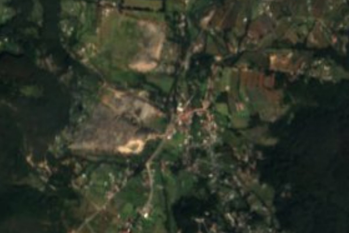
Village Omitlán de Juárez, Hidalgo Hidalgo Mountain Corridor Comarca Minera Geopark
Comarca Minera village at 2,396 m in Omitlán de Juárez, about 5 km from Real del Monte and 12 from Pachuca in a straight line.
From Pachuca: 20 min by car (19 km by road) How to get there ↓
Near here
See everything nearby ↓


Plan your visit to Velasco
Where to stay near Velasco
Compare hotels, posadas and guest houses in Velasco.
Tours to Velasco
Day trips and guided outings from Real del Monte often include Velasco; with a local guide you can get there without a car.
 Hidden Gems of Mexico City: Exploration Game and Tour
★ 5.0 (4) · From US$7
How to get to Velasco
- From Pachuca: about 20 min by road (~19 km)
- Nearest airport: Mexico City (Felipe Ángeles) (NLU), 1 h 6 min by car to Real del Monte
Links open a partner site. We may earn a commission if you book, at no cost to you.
Popular tours to Velasco
Tours, prices and ratings from Viator, checked weekly. We may earn a commission if you book.
About Velasco
Velasco sits in Hidalgo's Comarca Minera, at 2,396 metres, on flat ground of the Trans-Mexican Volcanic Belt. The municipality it belongs to, Omitlán de Juárez, is mostly mountain (81%), with hills such as Gordo, del Gallo and Peña del Zumate, and forests of oak, fir and pine. At this altitude the climate is temperate sub-humid with summer rain; the municipality's mean annual temperature is 14 °C, with 700 to 1,200 mm of rain a year.
Water from the area goes to the Amajac sub-basin, within the Moctezuma basin. Omitlán, the municipal seat, is only 14 metres higher, at 2,410 metres.
The censuses show a population that rises and falls: 488 people in 1900, a peak of 875 in 1921, 319 in 1930 and only 200 in 1970. It then grew to 600 in 2005 and stands at 553 in 2020, 5.95% of the municipality. It lies about five kilometres in a straight line from Real del Monte.
How to get to Velasco
Drive from Pachuca: 20 min, 19 km
Velasco is about 12 km in a straight line from Pachuca (roughly 15 minutes by car per the brief's estimate; the real road through the hills will be longer) and about 5 km from Real del Monte, the nearest Pueblo Mágico, also in a straight line. The municipal seat, Omitlán de Juárez, is in the same municipality, at 2,410 m.
The practical way is to set out from Pachuca or Real del Monte and ask about local transport towards Omitlán and its villages. At this altitude it is cool and it rains in summer: bring a jacket.
Directions to Velasco on Google Maps
Distances are in a straight line; the road is usually longer.
Links open a partner site. We may earn a commission if you book, at no cost to you.
From the nearest cities to Velasco
- Pachuca · 19 km by road, 20 min
- Tulancingo · 61 km by road, 1 h
- Huauchinango · 81 km by road, 1 h 35 min
Drive times by road from OpenStreetMap, without traffic or stops. Times marked ~ are estimated from the straight-line distance.
Visiting Velasco: what to see and do
The oak, fir and pine forest of the Omitlán hills
Cerro Gordo and Peña del Zumate, in the municipality
Real del Monte, the Pueblo Mágico about 5 km away in a straight line
Plan your trip
Places to stay in Velasco
Compare hotels, posadas, and rentals in and around Velasco.
Tours & activities
Day trips and guided outings from Real del Monte often include Velasco; with a local guide you can get there without a car.
Rental cars
Pick up a car at NLU (Mexico City (Felipe Ángeles)): about 1 h 6 min by road to Real del Monte, then 5 km more to Velasco, on your own schedule.
Flights
The nearest airport with scheduled flights is Mexico City (Felipe Ángeles) (NLU), about 1 h 6 min by road from Real del Monte, the base for Velasco.
Mobile data
Signal can drop away from Real del Monte: download a map of the way to Velasco before you set out, or carry an eSIM with data.
Links open a partner site. We may earn a commission if you book, at no cost to you.
When to go to Velasco cool
Velasco shares the climate of Real del Monte, 5 km away. The best months to visit are February, March, April, and May.
See the month-by-month climate of Real del Monte
Weather in Velasco now and the next 7 days
Live forecast from Open-Meteo. Chance of rain is the day's highest.
The closest Pueblo Mágico: Real del Monte

Real del Monte is the Pueblo Mágico closest to Velasco, with places to stay, food, and more to see.
Also close to
- Huasca de Ocampo · Hidalgo · 6 km away
- Mineral del Chico · Hidalgo · 11 km away
- Zempoala · Hidalgo · 30 km away
- Acaxochitlán · Hidalgo · 46 km away
- Metztitlán · Hidalgo · 47 km away
Closest to Velasco
-
Omitlán de Juárez · Town · 1 km away
-
Peñas Cargadas · Nature reserve · 7 km away
-
Mirador Peña del Cuervo · Viewpoint · 8 km away
-
Presa El Jaramillo · Lake · 9 km away
-
Bosque de las Truchas · Nature reserve · 10 km away
-
Cristo Rey · Viewpoint · 10 km away
-
El Arbolito · Landmark · 10 km away
-
Hacienda de San Miguel Regla · Landmark · 10 km away


Near Velasco




Drive times by road from OpenStreetMap, without traffic. Times marked ~ are estimated from the straight-line distance.
Location from OpenStreetMap. Written by Puebloteca.