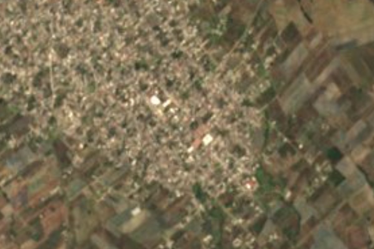
Village Tepatlaxco de Hidalgo, Puebla Puebla Valley La Malinche
Stony town on the slopes of La Malinche, refounded around 1550 under Saint Sebastian, that fought for centuries for its forest and its municipality.
From Puebla: 30 min by car (28 km by road) How to get there ↓
Near here
See everything nearby ↓



Plan your visit to Tepatlaxco de Hidalgo
Where to stay near Tepatlaxco de Hidalgo
Compare hotels, posadas and guest houses in Tepatlaxco de Hidalgo.
Tours to Tepatlaxco de Hidalgo
Day trips and guided outings from Ixtenco often include Tepatlaxco de Hidalgo; with a local guide you can get there without a car.
 Tours from Puebla City
Africam Safari Zoo Admission with Transportation
★ 4.8 (87) · From US$35
How to get to Tepatlaxco de Hidalgo
- From Puebla: about 30 min by road (~28 km)
- Nearest airport: Puebla (PBC), 1 h 16 min by car to Ixtenco
Links open a partner site. We may earn a commission if you book, at no cost to you.
Tours from Puebla City, near Tepatlaxco de Hidalgo


Tours, prices and ratings from Viator, checked weekly. We may earn a commission if you book.
About Tepatlaxco de Hidalgo
Around 1550-1555 Viceroy Luis de Velasco and Charles V authorised don Francisco Cuapinto to refound the town of "Tepatlasco or Tepatlachico" with Saint Sebastian as patron; the Franciscans took charge of the church, and the painting of the boundaries Cuapinto left behind became the title deed the town would bring out for centuries. Agustín Ramírez, its legal representative, did exactly that in 1924 to claim the lands and waters of the La Malinche forest: he did not win them all back, but secured sizeable ejido lands. Earlier, in 1856, under the Lerdo Law, Tepatlaxco had offered to buy from Tepeaca the part of the mountain it rented, arguing it had held it since time immemorial.
The name is officially read as "plain where stony ground abounds", for the rocky soil at the foot of the volcano; other Nahuatl readings suggest "place where things are crushed with stone" or "place of the broad stone". On the outskirts stands a tetel, a pre-Hispanic mound that probably dates from when the area belonged to the Chichimec lordship of Cuauhtinchan. In colonial times its people worked on the branch of the Mexico-Veracruz road through Nopalucan and Amozoc, while the haciendas of Santa María, Vallarte and Cansino nibbled away at its boundaries. In the Revolution two of its sons stood out, General Lorenzo Morales and Captain Camilo Romero Crisóstomo. It depended on Tepeaca until 1926, when it became a municipality and added the name Hidalgo.
Today the town is a sizeable place, with 18,374 people in 2020, at 2,377 metres, inside the Puebla-Tlaxcala metropolitan area. The municipality, about 61 km², climbs from the Tepeaca valley to the summit of La Malinche, where it meets Huamantla, and a third of it is forest. It is cool: averages run from 4 to 16 °C. Wooden beams are hewn here, and the table offers mole poblano, lard-and-salt tamales, hojaldras, a squash sweet called tlayacualotl and the pulque known as nehutli.
How to get to Tepatlaxco de Hidalgo
Drive from Puebla: 30 min, 28 km
Tepatlaxco de Hidalgo lies about 25 km in a straight line northeast of Puebla city, between Amozoc and Acajete, and 20 km from Ixtenco across the line in Tlaxcala. Take the Amozoc exit off the Puebla–Orizaba highway and head north toward the slopes of La Malinche.
Directions to Tepatlaxco de Hidalgo on Google Maps
Distances are in a straight line; the road is usually longer.
Links open a partner site. We may earn a commission if you book, at no cost to you.
From the nearest cities to Tepatlaxco de Hidalgo
- Puebla · 28 km by road, 30 min
- Huamantla · 33 km by road, 30 min
- Chiautempan · 53 km by road, 55 min
Drive times by road from OpenStreetMap, without traffic or stops. Times marked ~ are estimated from the straight-line distance.
Visiting Tepatlaxco de Hidalgo: what to see and do
The 16th-century church of San Sebastián in the centre.
The pre-Hispanic tetel on the outskirts.
The forest on the slopes of La Malinche, which the town defended for centuries.
A glass of nehutli pulque and some hojaldras in the centre.
Plan your trip
Places to stay in Tepatlaxco de Hidalgo
Compare hotels, posadas, and rentals in and around Tepatlaxco de Hidalgo.
Tours & activities
Day trips and guided outings from Ixtenco often include Tepatlaxco de Hidalgo; with a local guide you can get there without a car.
Rental cars
Pick up a car at PBC (Puebla): about 1 h 16 min by road to Ixtenco, then 20 km more to Tepatlaxco de Hidalgo, on your own schedule.
Flights
The nearest airport with scheduled flights is Puebla (PBC), about 1 h 16 min by road from Ixtenco, the base for Tepatlaxco de Hidalgo.
Mobile data
Signal can drop away from Ixtenco: download a map of the way to Tepatlaxco de Hidalgo before you set out, or carry an eSIM with data.
Links open a partner site. We may earn a commission if you book, at no cost to you.
When to go to Tepatlaxco de Hidalgo cool
Tepatlaxco de Hidalgo shares the climate of Ixtenco, 20 km away. The best months to visit are February, March, November, and December.
See the month-by-month climate of Ixtenco
Weather in Tepatlaxco de Hidalgo now and the next 7 days
Live forecast from Open-Meteo. Chance of rain is the day's highest.
The closest Pueblo Mágico: Ixtenco

Ixtenco is the Pueblo Mágico closest to Tepatlaxco de Hidalgo, with places to stay, food, and more to see.
Also close to
- Huamantla · Tlaxcala · 27 km away
- Cholula · Puebla · 36 km away
- Huejotzingo · Puebla · 47 km away
- Atlixco · Puebla · 52 km away
- Tlaxco · Tlaxcala · 62 km away
Closest to Tepatlaxco de Hidalgo
-
Santa María Nenetzintla · Village · 2 km away
-
Acajete · Town · 3 km away
-
Apango de Zaragoza · Village · 3 km away
-
San Agustín Tlaxco · Village · 3 km away
-
La Magdalena Tetela Morelos · Town · 4 km away
-
San Jerónimo Ocotitlán · Village · 5 km away
-
San Juan Tepulco · Village · 5 km away
-
Santa Isabel Tepetzala · Village · 5 km away
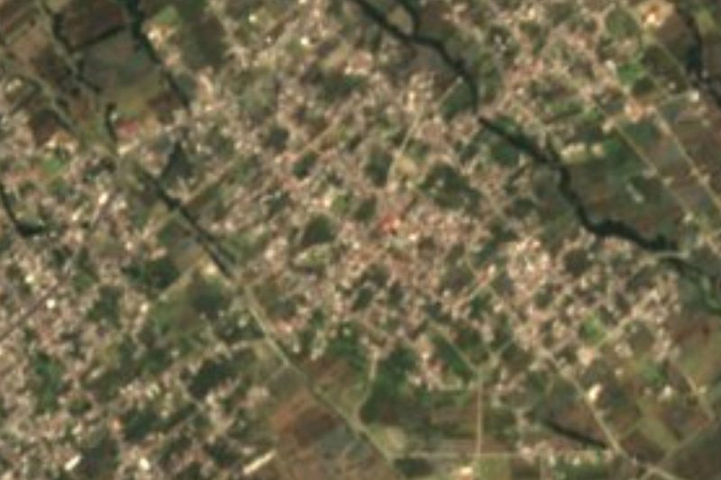
Near Tepatlaxco de Hidalgo





Drive times by road from OpenStreetMap, without traffic. Times marked ~ are estimated from the straight-line distance.
Location from OpenStreetMap. Written by Puebloteca.