Village Acajete, Puebla Municipality of Acajete Puebla Valley La Malinche
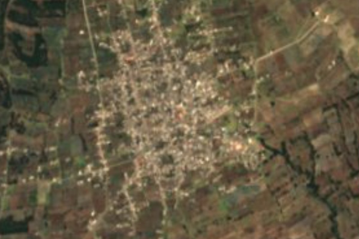
"Place of many stones": a village of over 10,000 in Acajete, at 2,576 m, in country known for metates, molcajetes and festival bread.
From Huamantla: 35 min by car (33 km by road) How to get there ↓
Near here
See everything nearby ↓


Plan your visit to San Juan Tepulco
Where to stay near San Juan Tepulco
Compare hotels, posadas and guest houses in San Juan Tepulco.
Tours to San Juan Tepulco
Day trips and guided outings from Ixtenco often include San Juan Tepulco; with a local guide you can get there without a car.
How to get to San Juan Tepulco
- From Huamantla: about 35 min by road (~33 km)
- Nearest airport: Puebla (PBC), 1 h 16 min by car to Ixtenco
Links open a partner site. We may earn a commission if you book, at no cost to you.
About San Juan Tepulco
Tetl means stone, pul signals abundance and co marks a place: Tepulco means "place of many stones". The name fits a village in Acajete, a municipality where INEGI reports that metates, molcajetes, temolotes and metlapiles are carved from stone. Its patron is John the Evangelist. In 2020 it had 10,288 residents, making it a sizable town, at 2,576 meters, about 24 km east of Puebla city and 16 km from Ixtenco across the line in Tlaxcala, on the cold plains that stretch between the capital and La Malinche.
Acajete ranges from 2,280 to 3,200 meters. More than half of its land is farmed and nearly a fifth is built up; woodland covers another 19%, with some grassland and scrub. It is chilly for central Mexico: averages run from 6 to 16 °C and 700 to 1,100 mm of rain falls, mostly in summer. Its water flows toward the Atoyac, in the Balsas basin, while a small corner drains to the Totolzingo lagoon. Monuments listed by INEGI include the parish of Santa María de la Asunción in the municipal seat, the church of Santa Isabel Tepetzala, dated 1563, and the Acaxetl cultural center. More than 3,100 people in the municipality speak an Indigenous language, mainly Nahuatl.
The local table is generous: red rice with peas and carrots, mole poblano with turkey leg dusted in sesame, fava bean tamales and "tamales tontos" made with lard and salt, backbone mole, tlaxcales, barbacoa and chileatole, all with handmade tortillas cooked on clay griddles. For festivals people bake "pan de burro", a festival bread scented with orange blossom, walnut and egg. There are also glazed sweets of fig, pear and chilacayote squash, coconut candies, quince jelly, and preserves of tejocote and apricot. Wind bands and orchestras play at the patron saint festivals.
How to get to San Juan Tepulco
Drive from Huamantla: 35 min, 33 km
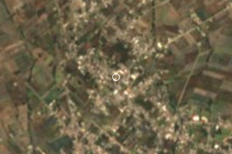
Tepulco lies about 24 km in a straight line east of Puebla city, past Amozoc toward Acajete. Take the Puebla–Orizaba federal road or the highway toward Veracruz and exit for Acajete; Ixtenco, in Tlaxcala, is 16 km to the north.
Directions to San Juan Tepulco on Google Maps
Distances are in a straight line; the road is usually longer.
Links open a partner site. We may earn a commission if you book, at no cost to you.
From the nearest cities to San Juan Tepulco
- Huamantla · 33 km by road, 35 min
- Puebla · 34 km by road, 35 min
- Chiautempan · 59 km by road, 1 h
Drive times by road from OpenStreetMap, without traffic or stops. Times marked ~ are estimated from the straight-line distance.
Visiting San Juan Tepulco: what to see and do
Central Tepulco and its church of St John the Evangelist.
The church of Santa Isabel Tepetzala (1563) and the Assumption parish in Acajete.
Workshops carving stone metates and molcajetes, and festival bread in season.
Plan your trip
Places to stay in San Juan Tepulco
Compare hotels, posadas, and rentals in and around San Juan Tepulco.
Tours & activities
Day trips and guided outings from Ixtenco often include San Juan Tepulco; with a local guide you can get there without a car.
Rental cars
Pick up a car at PBC (Puebla): about 1 h 16 min by road to Ixtenco, then 16 km more to San Juan Tepulco, on your own schedule.
Flights
The nearest airport with scheduled flights is Puebla (PBC), about 1 h 16 min by road from Ixtenco, the base for San Juan Tepulco.
Mobile data
Signal can drop away from Ixtenco: download a map of the way to San Juan Tepulco before you set out, or carry an eSIM with data.
Links open a partner site. We may earn a commission if you book, at no cost to you.
When to go to San Juan Tepulco cool
San Juan Tepulco shares the climate of Ixtenco, 16 km away. The best months to visit are February, March, November, and December.
See the month-by-month climate of Ixtenco
Weather in San Juan Tepulco now and the next 7 days
Live forecast from Open-Meteo. Chance of rain is the day's highest.
The closest Pueblo Mágico: Ixtenco

Ixtenco is the Pueblo Mágico closest to San Juan Tepulco, with places to stay, food, and more to see.
Also close to
- Huamantla · Tlaxcala · 23 km away
- Cholula · Puebla · 34 km away
- Huejotzingo · Puebla · 44 km away
- Atlixco · Puebla · 52 km away
- Tlaxco · Tlaxcala · 57 km away
Closest to San Juan Tepulco
-
Acajete · Town · 4 km away
-
Santa Isabel Tepetzala · Village · 5 km away
-
Tepatlaxco de Hidalgo · Village · 5 km away
-
San Agustín Tlaxco · Village · 6 km away
-
Apango de Zaragoza · Village · 7 km away
-
Santa María Nenetzintla · Village · 7 km away
-
Cerro El Pinal · Mountain · 9 km away
-
La Magdalena Tetela Morelos · Town · 9 km away

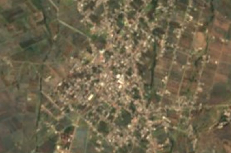
Near San Juan Tepulco





Drive times by road from OpenStreetMap, without traffic. Times marked ~ are estimated from the straight-line distance.
Location from OpenStreetMap. Written by Puebloteca.