

Town Acajete, Puebla Municipality of Acajete Puebla Valley La Malinche
Municipal seat in the Tepeaca valley below La Malinche, "bowl of water", founded 1521–1523; here Santa Anna beat Mejía and Urrea in 1839.
From Huamantla: 25 min by car (29 km by road) How to get there ↓
Near here

Plan your visit to Acajete
Where to stay near Acajete
Compare hotels, posadas and guest houses in Acajete.
Tours to Acajete
Day trips around Ixtenco sometimes stop in Acajete; a tour is the easy way to see it without a car.
 Tours from Puebla City
Africam Safari Zoo Admission with Transportation
★ 4.8 (87) · From US$35
How to get to Acajete
- From Huamantla: about 25 min by road (~29 km)
- Nearest airport: Puebla (PBC), 1 h 16 min by car to Ixtenco
Links open a partner site. We may earn a commission if you book, at no cost to you.
Tours from Puebla City, near Acajete


Tours, prices and ratings from Viator, checked weekly. We may earn a commission if you book.
About Acajete
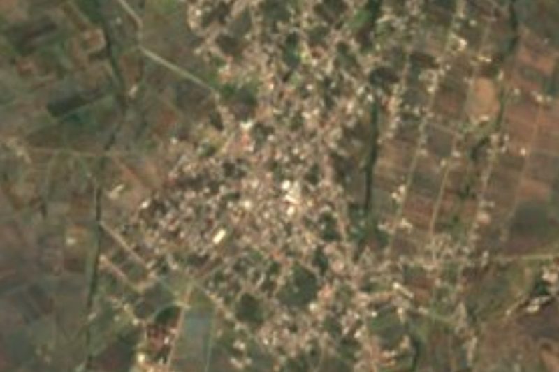
Acajete, a gateway to the Tepeaca valley at the foot of La Malinche, is its municipality's seat, about 27 km east of Puebla in a straight line. The place name is Nahuatl, from atl, water, caxitl, bowl, and tetl, stone: "bowl of water". It lies at roughly 2,440 m above sea level and counted 13,922 inhabitants in 2020.
Before 1521 Popoloca and Nahua groups lived here, and when the Spaniards arrived it had about 12,000 inhabitants. The town was officially founded between 1521 and 1523 and marked its 500th anniversary in 2023. By 1750 it belonged to the church jurisdiction of Tepeaca. On 3 May 1839, near here, General Santa Anna defeated José Antonio Mejía and José Urrea, who had risen in Tampico against President Anastasio Bustamante. In 1895 Acajete became a free municipality, and in 1927 land reform began with the handover of Guadalupe hacienda land to local farmers; that same day the mayor, Isidoro Vivanco Loranca, was shot dead near the town hall.
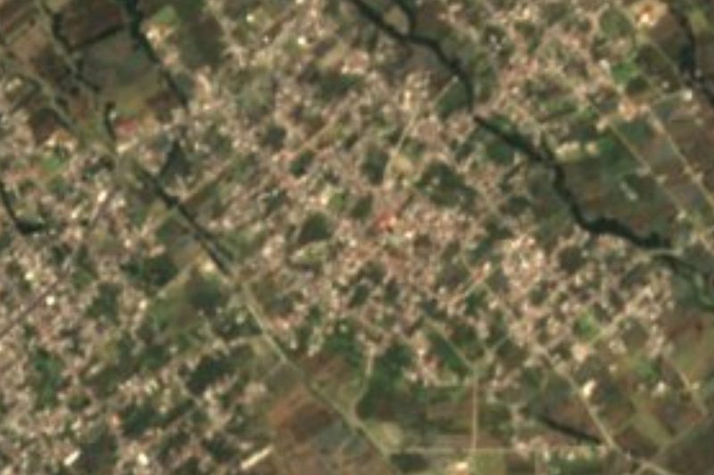
The building that marks the town is the parish church of Santa María de la Asunción. The municipality climbs from the valley up the slopes of La Malinche and includes villages such as Santa María Nenetzintla.
How to get to Acajete
Drive from Huamantla: 25 min, 29 km
Acajete lies in the Tepeaca valley, about 27 km east of Puebla city in a straight line, roughly 35 to 45 minutes by car via Amozoc. The Pueblo Mágico of Ixtenco in Tlaxcala is some 16 km away in a straight line.
Directions to Acajete on Google Maps
Distances are in a straight line; the road is usually longer.
Links open a partner site. We may earn a commission if you book, at no cost to you.
From the nearest cities to Acajete
- Huamantla · 29 km by road, 25 min
- Puebla · 31 km by road, 30 min
- Chiautempan · 55 km by road, 55 min
Drive times by road from OpenStreetMap, without traffic or stops. Times marked ~ are estimated from the straight-line distance.
Map of Acajete
Neighbourhoods and villages of Acajete
Part of Acajete or just outside it, closest first.
-
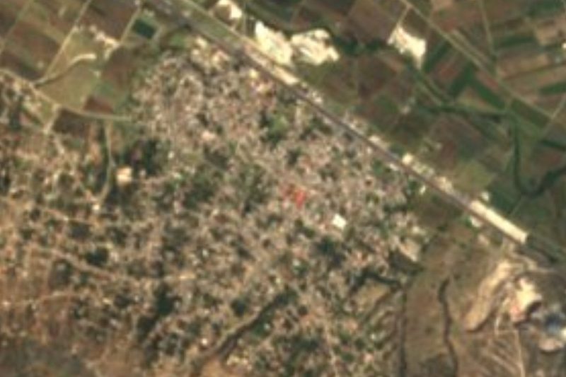
Santa Isabel Tepetzala · Village · 1 km from the centre
"Between the hills": an Acajete town almost as big as its seat, with a church dating to 1563 and stone carvers of metates and molcajetes. -
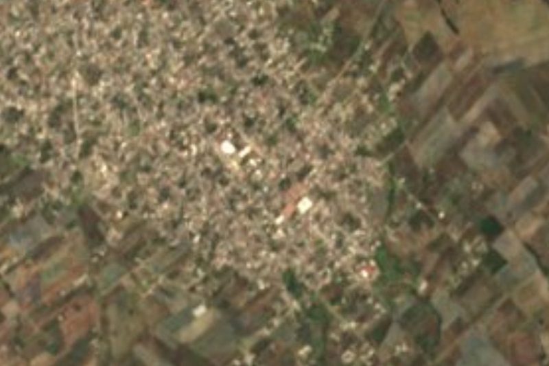
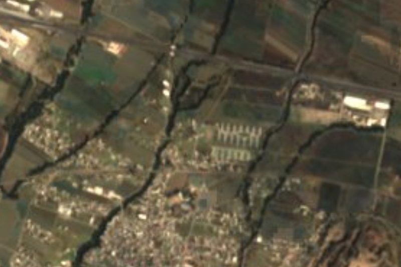
Tepatlaxco de Hidalgo · Village · 3 km from the centre
Stony town on the slopes of La Malinche, refounded around 1550 under Saint Sebastian, that fought for centuries for its forest and its municipality. -
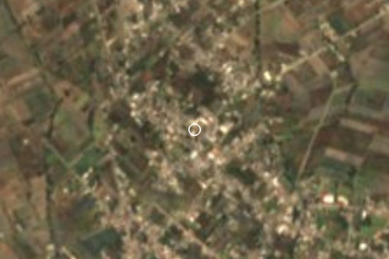
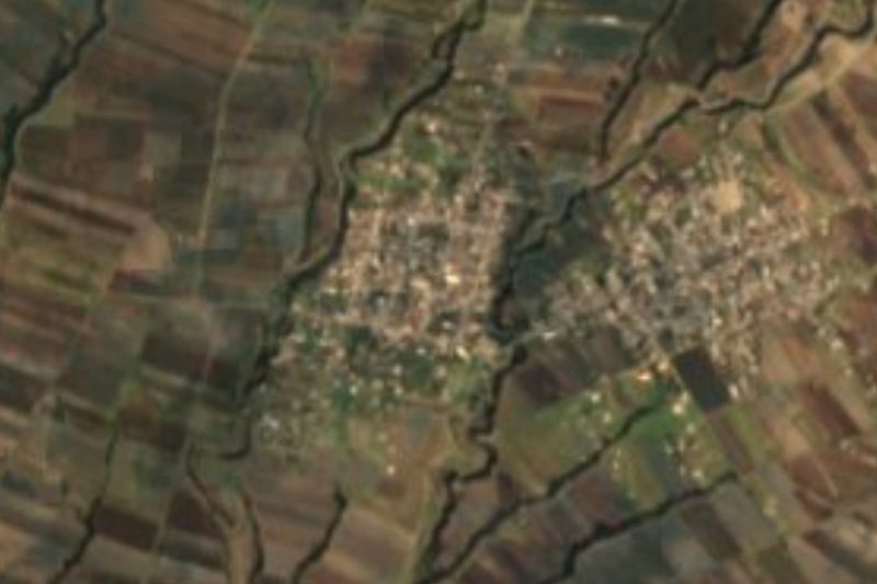
Apango de Zaragoza · Village · 4 km from the centre
Acajete village at 2,337 m, right next to La Magdalena Tetela Morelos; merged into it in 1990 and restored in 2000 under its current name. -
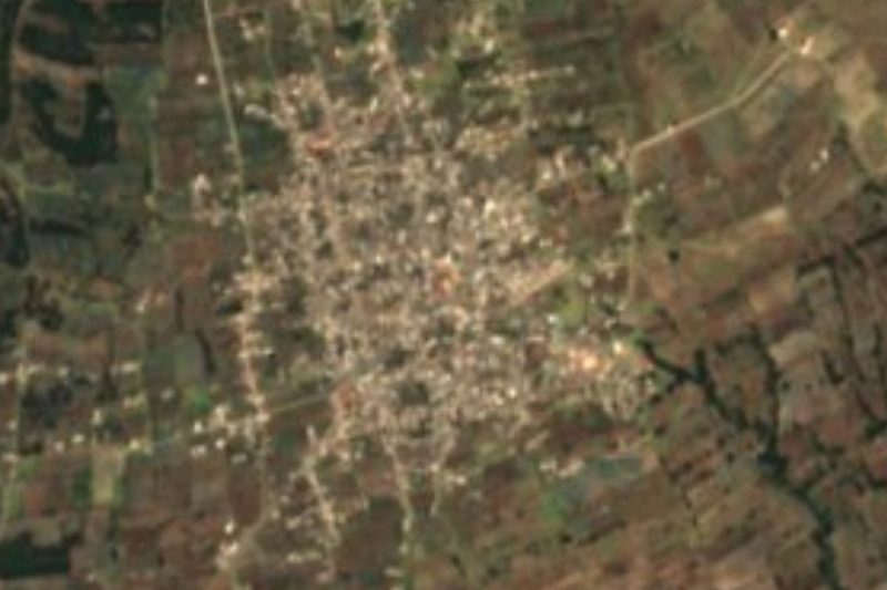
San Juan Tepulco · Village · 4 km from the centre
"Place of many stones": a village of over 10,000 in Acajete, at 2,576 m, in country known for metates, molcajetes and festival bread.
Day trips and tours from Acajete
The closest Pueblos Mágicos and places to visit, with the drive from Acajete and tours that leave from it.


Times marked ~ are estimated from the distance. Links open a partner site. We may earn a commission if you book, at no cost to you.
Before you go: getting to and around Acajete
- The nearest airport is Puebla (PBC).
- The best months to go are February, March, November, and December.
- 2 of the places on this page are more than 3 km from the centre: take a taxi, a ride-hailing app or a local bus.
- For day trips a rental car gives the most freedom; the tours above leave from Acajete.
Visiting Acajete: what to see and do
The parish church of Santa María de la Asunción.
The slopes of La Malinche to the north of the municipality.
Pair it with Amozoc and its charro ironwork, and with Santa María Nenetzintla.
Plan your trip
Places to stay in Acajete
Compare hotels, posadas, and rentals in and around Acajete.
Tours & activities
Day trips around Ixtenco sometimes stop in Acajete; a tour is the easy way to see it without a car.
Rental cars
Pick up a car at PBC (Puebla): about 1 h 16 min by road to Ixtenco, then 16 km more to Acajete, on your own schedule.
Flights
The nearest airport with scheduled flights is Puebla (PBC), about 1 h 16 min by road from Ixtenco, the base for Acajete.
Mobile data
Signal can drop away from Ixtenco: download a map of the way to Acajete before you set out, or carry an eSIM with data.
Links open a partner site. We may earn a commission if you book, at no cost to you.
When to go to Acajete cool
Acajete shares the climate of Ixtenco, 16 km away. The best months to visit are February, March, November, and December.
See the month-by-month climate of Ixtenco
Weather in Acajete now and the next 7 days
Live forecast from Open-Meteo. Chance of rain is the day's highest.
The closest Pueblo Mágico: Ixtenco

Ixtenco is the Pueblo Mágico closest to Acajete, with places to stay, food, and more to see.
Also close to
- Huamantla · Tlaxcala · 23 km away
- Cholula · Puebla · 38 km away
- Huejotzingo · Puebla · 48 km away
- Atlixco · Puebla · 54 km away
- Tlaxco · Tlaxcala · 59 km away
Near Acajete



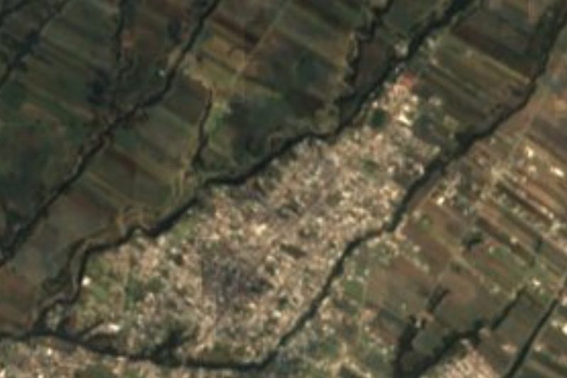
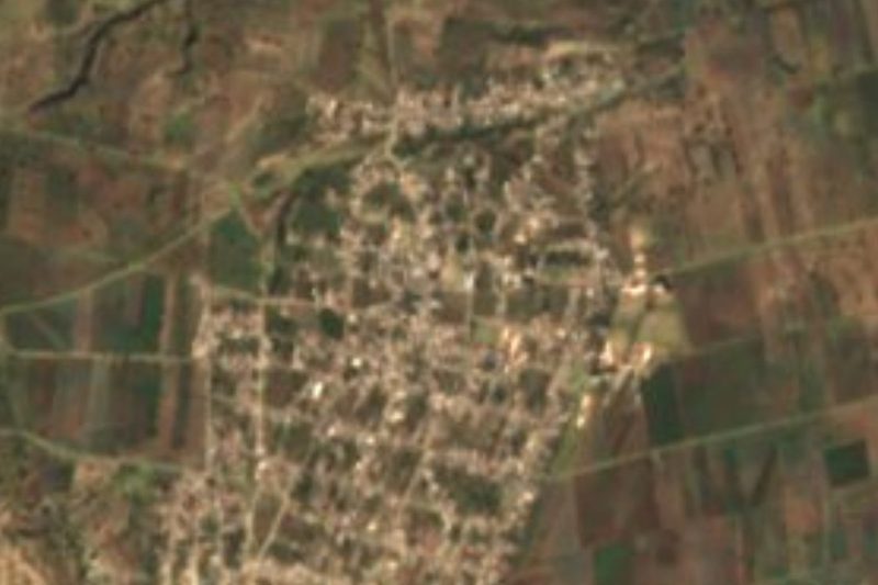

Drive times by road from OpenStreetMap, without traffic. Times marked ~ are estimated from the straight-line distance.
Location from OpenStreetMap. Written by Puebloteca.