Village Municipio de Puebla, Puebla Municipality of Puebla La Malinche
"On the hill of onions": an auxiliary town of Puebla on the Malinche foothills, part of the municipality of Resurrección until 1922.
From Puebla: 20 min by car (13 km by road) How to get there ↓
Near here
See everything nearby ↓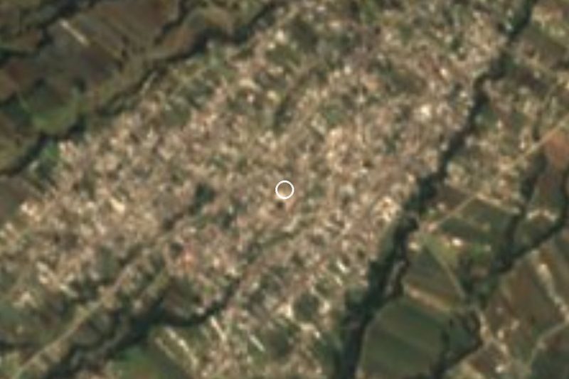


Plan your visit to Santa María Xonacatepec
Where to stay near Santa María Xonacatepec
Compare hotels, posadas and guest houses in Santa María Xonacatepec.
Tours to Santa María Xonacatepec
Day trips and guided outings from Cholula often include Santa María Xonacatepec; with a local guide you can get there without a car.
 Tours from Puebla City
Africam Safari Zoo Admission with Transportation
★ 4.8 (87) · From US$35
How to get to Santa María Xonacatepec
- From Puebla: about 20 min by road (~13 km)
- Nearest airport: Puebla (PBC), 16 min by car to Cholula
Links open a partner site. We may earn a commission if you book, at no cost to you.
Tours from Puebla City, near Santa María Xonacatepec


Tours, prices and ratings from Viator, checked weekly. We may earn a commission if you book.
About Santa María Xonacatepec
Until 1922 Xonacatepec was not part of Puebla: censuses record it from at least 1900 as part of the former municipality of Resurrección, and a decree of 4 April that year separated it and added it to the capital's municipality. Today it is one of the city's auxiliary towns and sits right against the urban area; 17,215 people lived there in 2020. The name comes from Nahuatl xonacatl, onion, and tepetl, hill, and is usually rendered "on the hill of onions". Nobody knows for certain when it was founded.
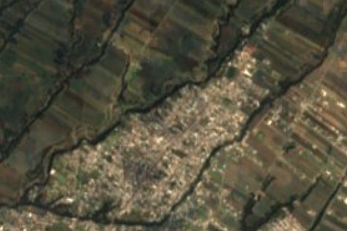
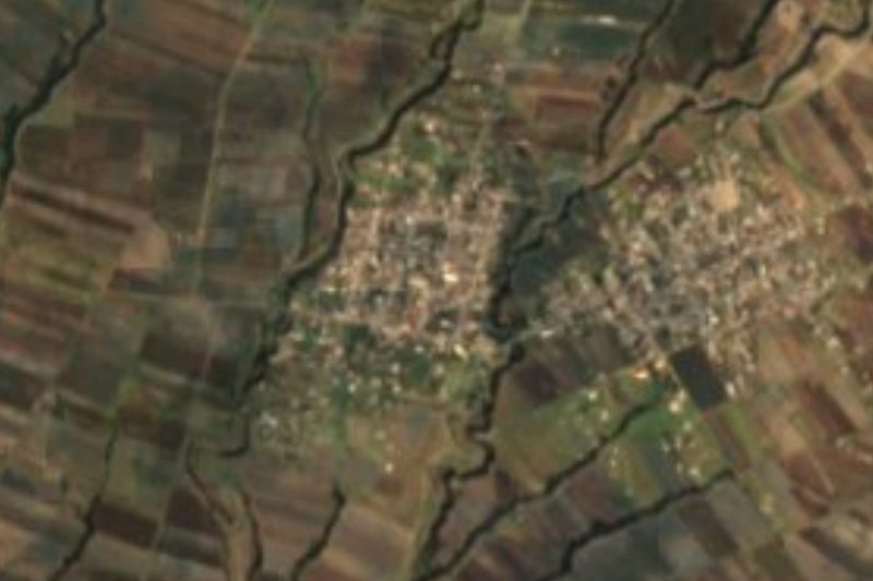
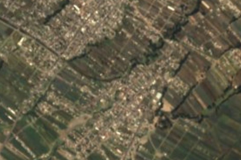
The town occupies the first slopes of the Malintzin volcano, at about 2,340 m and some 11 km northeast of central Puebla. That is why its surroundings are cut by ravines, opened by streams running down from the summit into the valley. The old road, now Avenida Xonacatepec, links it with the city, and about a kilometre to the south runs the México-Veracruz highway, the 150D. The satellite view shows how the town's streets now blend with the housing estates and fields around it.
The municipality of Puebla, to which it belongs, is mild and sub-humid over most of its area, with a semi-cold strip toward the higher Malinche slopes; averages run from 10 to 16 °C and annual rain from 400 to 900 mm. It is drained by the Atoyac and the Alseseca, which end in the Valsequillo reservoir. More than 42% of the municipality is built up, and most of the rest is farmland, grassland or forest. For anyone coming from here, the capital's historic centre offers Talavera pottery, onyx figures and a cuisine that runs from mole poblano and chiles en nogada to chalupas, cemitas and tripe mole.
How to get to Santa María Xonacatepec
Drive from Puebla: 20 min, 13 km
Xonacatepec is part of the Puebla urban area, about 11 km northeast of the zócalo. Take Avenida Xonacatepec, the old road to the town; it lies roughly a kilometre north of the México-Veracruz highway (150D), and city transport runs from the capital.
Directions to Santa María Xonacatepec on Google Maps
Distances are in a straight line; the road is usually longer.
Links open a partner site. We may earn a commission if you book, at no cost to you.
From the nearest cities to Santa María Xonacatepec
- Puebla · 13 km by road, 20 min
- Chiautempan · 38 km by road, 40 min
- Huamantla · 46 km by road, 40 min
Drive times by road from OpenStreetMap, without traffic or stops. Times marked ~ are estimated from the straight-line distance.
Visiting Santa María Xonacatepec: what to see and do
The ravines running down from La Malinche around town.
Avenida Xonacatepec, the old road to the city.
The Malintzin slopes to the north.
Puebla's historic centre, about 11 km away.
Plan your trip
Places to stay in Santa María Xonacatepec
Compare hotels, posadas, and rentals in and around Santa María Xonacatepec.
Tours & activities
Day trips and guided outings from Cholula often include Santa María Xonacatepec; with a local guide you can get there without a car.
Rental cars
Pick up a car at PBC (Puebla): about 16 min by road to Cholula, then 22 km more to Santa María Xonacatepec, on your own schedule.
Flights
The nearest airport with scheduled flights is Puebla (PBC), about 16 min by road from Cholula, the base for Santa María Xonacatepec.
Mobile data
Signal can drop away from Cholula: download a map of the way to Santa María Xonacatepec before you set out, or carry an eSIM with data.
Links open a partner site. We may earn a commission if you book, at no cost to you.
When to go to Santa María Xonacatepec mild
Santa María Xonacatepec shares the climate of Cholula, 22 km away. The best months to visit are January, February, March, and December.
See the month-by-month climate of Cholula
Weather in Santa María Xonacatepec now and the next 7 days
Live forecast from Open-Meteo. Chance of rain is the day's highest.
The closest Pueblo Mágico: Cholula

Cholula is the Pueblo Mágico closest to Santa María Xonacatepec, with places to stay, food, and more to see.
Also close to
- Ixtenco · Tlaxcala · 25 km away
- Huamantla · Tlaxcala · 31 km away
- Huejotzingo · Puebla · 33 km away
- Atlixco · Puebla · 39 km away
- Tlaxco · Tlaxcala · 58 km away
Closest to Santa María Xonacatepec
-
La Resurrección · Village · 3 km away
-
San Miguel Espejo · Village · 4 km away
-
Signoret · Village · 4 km away
-
San Sebastián de Aparicio · Village · 6 km away
-
Estadio Cuauhtémoc · Landmark · 7 km away
-
San Isidro Buen Suceso · Town · 7 km away
-
San Miguel Canoa · Village · 7 km away
-
Amozoc de Mota · Town · 8 km away


Near Santa María Xonacatepec


Drive times by road from OpenStreetMap, without traffic. Times marked ~ are estimated from the straight-line distance.
Location from OpenStreetMap. Written by Puebloteca.