Village Municipio de Puebla, Puebla Municipality of Puebla La Malinche
A village in Puebla municipality at 2,411 m, cut by ravines running down from La Malinche, 15 km from the capital's centre.
From Puebla: 25 min by car (18 km by road) How to get there ↓
Near here
See everything nearby ↓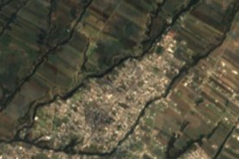



Plan your visit to San Miguel Espejo
Where to stay near San Miguel Espejo
Compare hotels, posadas and guest houses in San Miguel Espejo.
Tours to San Miguel Espejo
Day trips and guided outings from Ixtenco often include San Miguel Espejo; with a local guide you can get there without a car.
 Tours from Puebla City
Africam Safari Zoo Admission with Transportation
★ 4.8 (87) · From US$35
How to get to San Miguel Espejo
- From Puebla: about 25 min by road (~18 km)
- Nearest airport: Puebla (PBC), 1 h 16 min by car to Ixtenco
Links open a partner site. We may earn a commission if you book, at no cost to you.
Tours from Puebla City, near San Miguel Espejo


Tours, prices and ratings from Viator, checked weekly. We may earn a commission if you book.
About San Miguel Espejo
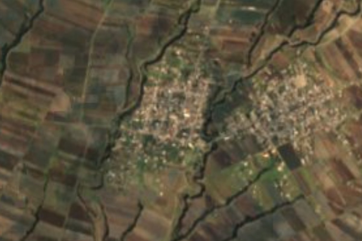
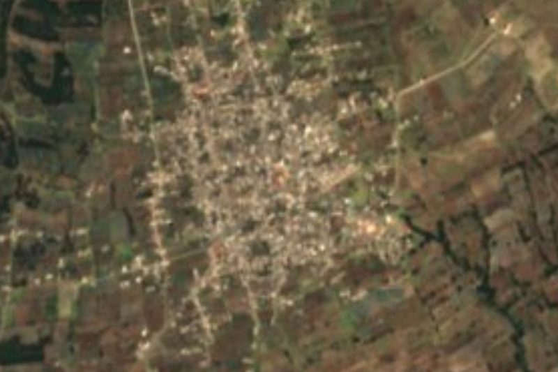
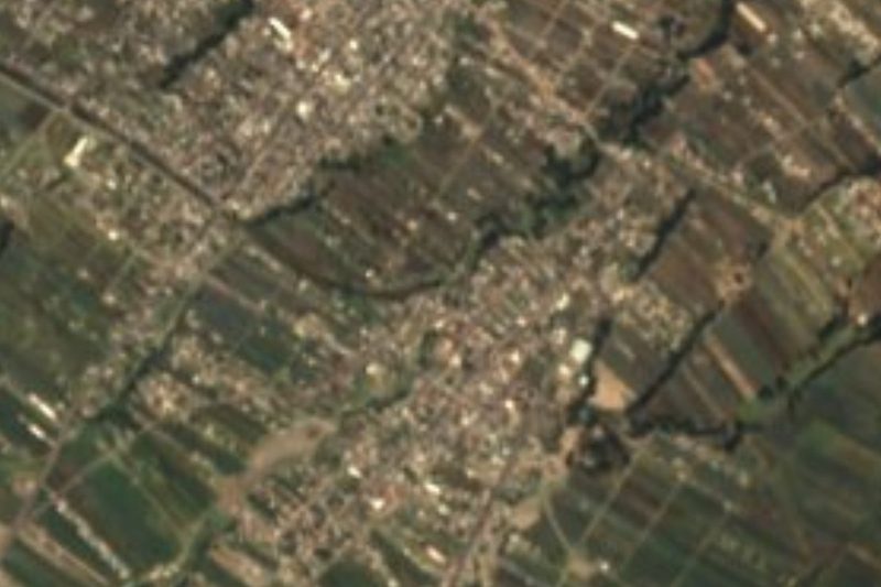
Just 15 kilometres in a straight line from Puebla's main square, San Miguel Espejo no longer feels like the city: at 2,411 metres, on the eastern edge of Puebla municipality, the village sits on the ridges left between several deep ravines that run northeast to southwest from the lower slopes of La Malinche. The satellite image shows two clusters of houses separated by one of those gullies, surrounded by long strips of farmland following the slope. The 2020 census recorded 3,409 residents. Its patron saint, who gives the first half of the name, is Saint Michael the Archangel.
Espejo was one of 138 localities in Puebla municipality in 2010, a territory that reaches far beyond the urban sprawl: it climbs from 1,980 to nearly 4,500 metres, with volcanoes, rolling plains and rocky ground, and borders Cuautlancingo, the state of Tlaxcala and Tepatlaxco de Hidalgo to the north, and Amozoc and Cuautinchán to the east. Although almost 42% of the municipality is built up, a quarter is still farmed, and grassland and forest together cover another 27%; this eastern fringe, toward the mountain, is one of the parts that keeps that rural character.
The climate here is temperate with summer rain, averaging 10 to 16 °C with 400 to 900 mm of rainfall depending on altitude; it turns semi-cold in the highest parts of the mountain. Water from this part of the municipality belongs to the Atoyac system, which takes in the Alseseca and the Actiopa before filling the Valsequillo dam south of the city. For anyone leaving Puebla, the village is a gateway to the landscape of ravines and cornfields on the slopes of La Malinche; and to get back to the urban side, just head down to the historic centre, with the former convents of San Agustín and Santa Inés, the Carolino building and the grey-stone city hall.
How to get to San Miguel Espejo
Drive from Puebla: 25 min, 18 km
San Miguel Espejo lies about 15 km in a straight line east of central Puebla, within the same municipality, and 22 km from Ixtenco, across the line in Tlaxcala. Leave the city heading east, toward Amozoc and the slopes of La Malinche; the final stretches run between ravines and fields.
Directions to San Miguel Espejo on Google Maps
Distances are in a straight line; the road is usually longer.
Links open a partner site. We may earn a commission if you book, at no cost to you.
From the nearest cities to San Miguel Espejo
- Puebla · 18 km by road, 25 min
- Huamantla · 47 km by road, 40 min
- Chiautempan · 43 km by road, 45 min
Drive times by road from OpenStreetMap, without traffic or stops. Times marked ~ are estimated from the straight-line distance.
Visiting San Miguel Espejo: what to see and do
The ravines that cut through the village and the strips of farmland on La Malinche's slope.
In Puebla city: the former convents of San Agustín and Santa Inés, the Carolino building and city hall.
Plan your trip
Places to stay in San Miguel Espejo
Compare hotels, posadas, and rentals in and around San Miguel Espejo.
Tours & activities
Day trips and guided outings from Ixtenco often include San Miguel Espejo; with a local guide you can get there without a car.
Rental cars
Pick up a car at PBC (Puebla): about 1 h 16 min by road to Ixtenco, then 22 km more to San Miguel Espejo, on your own schedule.
Flights
The nearest airport with scheduled flights is Puebla (PBC), about 1 h 16 min by road from Ixtenco, the base for San Miguel Espejo.
Mobile data
Signal can drop away from Ixtenco: download a map of the way to San Miguel Espejo before you set out, or carry an eSIM with data.
Links open a partner site. We may earn a commission if you book, at no cost to you.
When to go to San Miguel Espejo cool
San Miguel Espejo shares the climate of Ixtenco, 22 km away. The best months to visit are February, March, November, and December.
See the month-by-month climate of Ixtenco
Weather in San Miguel Espejo now and the next 7 days
Live forecast from Open-Meteo. Chance of rain is the day's highest.
The closest Pueblo Mágico: Ixtenco

Ixtenco is the Pueblo Mágico closest to San Miguel Espejo, with places to stay, food, and more to see.
Also close to
- Cholula · Puebla · 26 km away
- Huamantla · Tlaxcala · 29 km away
- Huejotzingo · Puebla · 36 km away
- Atlixco · Puebla · 43 km away
- Tlaxco · Tlaxcala · 58 km away
Closest to San Miguel Espejo
-
Santa María Xonacatepec · Village · 4 km away
-
Signoret · Village · 5 km away
-
Amozoc de Mota · Town · 6 km away
-
La Resurrección · Village · 7 km away
-
San Miguel Canoa · Village · 7 km away
-
San Isidro Buen Suceso · Town · 8 km away
-
San Agustín Tlaxco · Village · 9 km away
-
San Juan Tepulco · Village · 9 km away

Near San Miguel Espejo




Drive times by road from OpenStreetMap, without traffic. Times marked ~ are estimated from the straight-line distance.
Location from OpenStreetMap. Written by Puebloteca.