
Village Acajete, Puebla Municipality of Acajete Puebla Valley
An auxiliary borough of Acajete on the Puebla-Tehuacán highway, a potters' village founded in the 13th century by a ravine; 'place among lynxes'.
From Puebla: 30 min by car (27 km by road) How to get there ↓
Near here
See everything nearby ↓


Plan your visit to San Jerónimo Ocotitlán
Where to stay near San Jerónimo Ocotitlán
Compare hotels, posadas and guest houses in San Jerónimo Ocotitlán.
Tours to San Jerónimo Ocotitlán
Day trips and guided outings from Ixtenco often include San Jerónimo Ocotitlán; with a local guide you can get there without a car.
 Tours from Puebla City
Africam Safari Zoo Admission with Transportation
★ 4.8 (87) · From US$35
How to get to San Jerónimo Ocotitlán
- From Puebla: about 30 min by road (~27 km)
- Nearest airport: Puebla (PBC), 1 h 16 min by car to Ixtenco
Links open a partner site. We may earn a commission if you book, at no cost to you.
Tours from Puebla City, near San Jerónimo Ocotitlán


Tours, prices and ratings from Viator, checked weekly. We may earn a commission if you book.
About San Jerónimo Ocotitlán
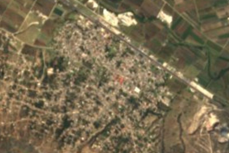
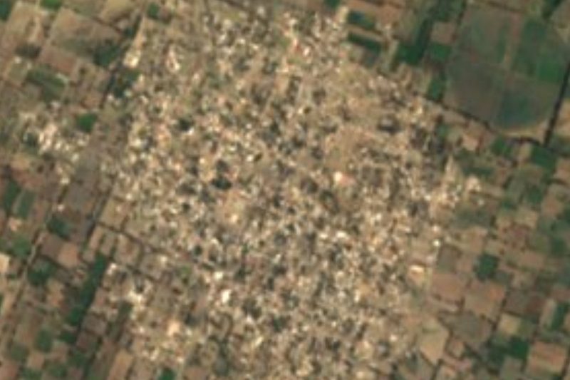
Ocotitlán is one of nine villages that, together with the seat, make up Acajete municipality, in the eastern Puebla-Tlaxcala valley. Its Nahuatl name, Ocotōchtitlān, means 'place among lynxes'. It stands at 2,285 metres, south of La Malinche, and the built-up core clusters along the federal Puebla-Tehuacán highway (México 150). It had 4,809 residents in 2010, and the 2020 municipal list gives 5,560.
Its history is old. The settlement was founded in the 13th century when Toltec-Chichimec groups arrived beside the Ocotochatlauhtli ravine, on the Santa Rosa hill where the archaeological zone now lies; there are signs of farming in the valley from the 2nd century. Land registers of 1525 already name the Indian town of Ocotitlán, gathered to work on the region's haciendas. Isolation let much of its cultural tradition survive, now pressed by Puebla's growth and by migration to the United States.
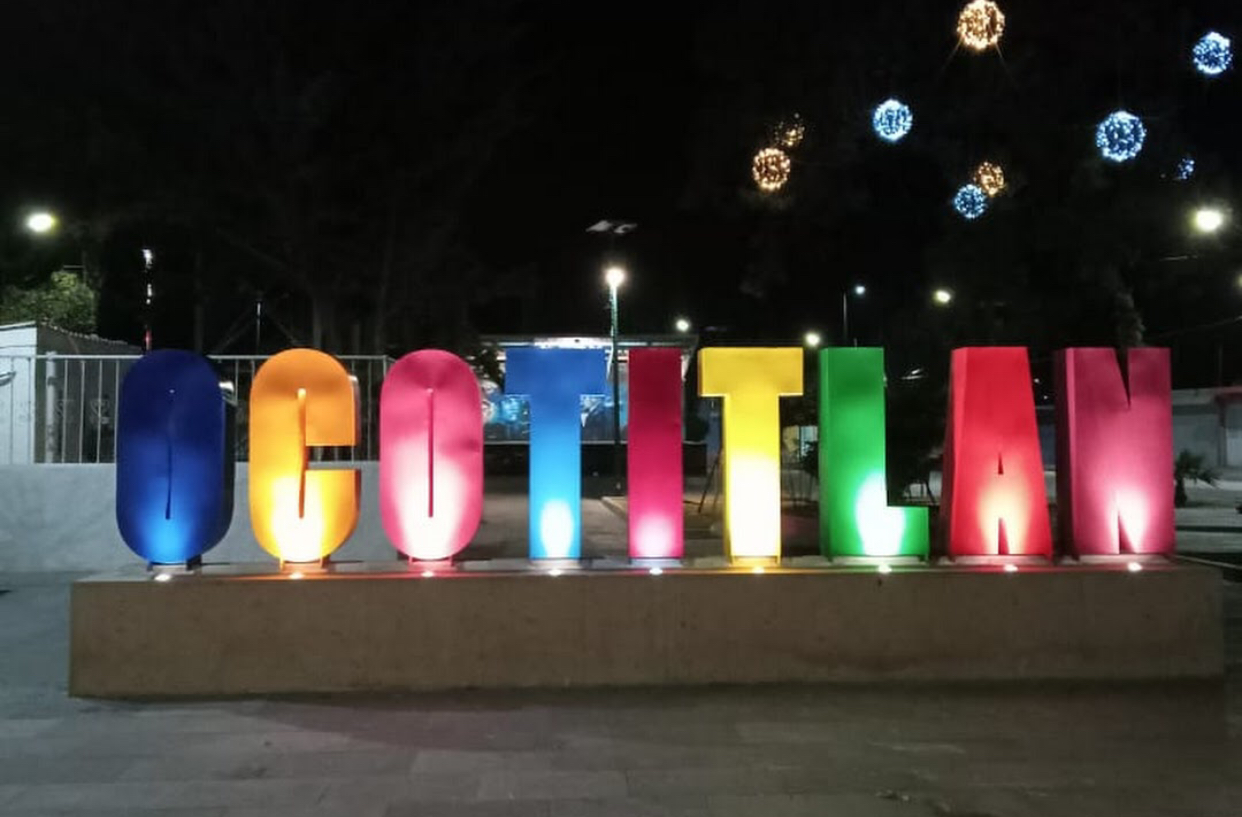
Its main activity is pottery; farming and wage work in Puebla city come second. The El Bajío river runs through the village from north to south, with a tributary of the El Águila river crossing east to west. Its best-known tradition is the Palm Sunday carnival dance, with elaborate costumes, and football is so rooted that the village hosts regional tournaments. In 2019-2022 the auxiliary council set up large letters spelling the village name, now a photo stop.
How to get to San Jerónimo Ocotitlán
Drive from Puebla: 30 min, 27 km
Ocotitlán sits on federal highway México 150, the free road from Puebla to Tehuacán, some 24 to 30 km east of Puebla city (approx. 30 minutes by car, depending on traffic). The 150D toll motorway runs along the municipality's edge, but you reach the village by the free road, which is also its main street. Any bus or combi running the free road between Puebla and Tehuacán can drop you in the village; at the CAPU, ask for units towards Acajete or Amozoc stopping at Ocotitlán. Ixtenco, in Tlaxcala, is about 25 km away in a straight line (approx. 30 minutes). No fixed timetable is published; confirm at the CAPU or with the village's auxiliary council.
Directions to San Jerónimo Ocotitlán on Google Maps
Distances are in a straight line; the road is usually longer.
Links open a partner site. We may earn a commission if you book, at no cost to you.
From the nearest cities to San Jerónimo Ocotitlán
- Puebla · 27 km by road, 30 min
- Huamantla · 38 km by road, 40 min
- Chiautempan · 55 km by road, 55 min
Drive times by road from OpenStreetMap, without traffic or stops. Times marked ~ are estimated from the straight-line distance.
Before you go to San Jerónimo Ocotitlán: hours, prices and tips
- Best season
- Carnival dance on Palm Sunday. Wikipedia (es), San Jerónimo Ocotitlán · checked Oct 2026
Hours and prices change, especially around holidays. Each fact links to where we checked it.
Visiting San Jerónimo Ocotitlán: what to see and do
The archaeological zone on Santa Rosa hill, beside the Ocotochatlauhtli ravine.
The pottery workshops, the village's main trade.
The tourist letters spelling out Ocotitlán, a photo spot.
The Palm Sunday carnival dance.
Plan your trip
Places to stay in San Jerónimo Ocotitlán
Compare hotels, posadas, and rentals in and around San Jerónimo Ocotitlán.
Tours & activities
Day trips and guided outings from Ixtenco often include San Jerónimo Ocotitlán; with a local guide you can get there without a car.
Rental cars
Pick up a car at PBC (Puebla): about 1 h 16 min by road to Ixtenco, then 25 km more to San Jerónimo Ocotitlán, on your own schedule.
Flights
The nearest airport with scheduled flights is Puebla (PBC), about 1 h 16 min by road from Ixtenco, the base for San Jerónimo Ocotitlán.
Mobile data
Signal can drop away from Ixtenco: download a map of the way to San Jerónimo Ocotitlán before you set out, or carry an eSIM with data.
Links open a partner site. We may earn a commission if you book, at no cost to you.
When to go to San Jerónimo Ocotitlán cool
San Jerónimo Ocotitlán shares the climate of Ixtenco, 25 km away. The best months to visit are February, March, November, and December.
See the month-by-month climate of Ixtenco
Weather in San Jerónimo Ocotitlán now and the next 7 days
Live forecast from Open-Meteo. Chance of rain is the day's highest.
The closest Pueblo Mágico: Ixtenco

Ixtenco is the Pueblo Mágico closest to San Jerónimo Ocotitlán, with places to stay, food, and more to see.
Also close to
- Huamantla · Tlaxcala · 32 km away
- Cholula · Puebla · 36 km away
- Huejotzingo · Puebla · 48 km away
- Atlixco · Puebla · 50 km away
- Tlaxco · Tlaxcala · 67 km away
Closest to San Jerónimo Ocotitlán
-
La Magdalena Tetela Morelos · Town · 3 km away
-
Santa María Nenetzintla · Village · 3 km away
-
San Agustín Tlaxco · Village · 4 km away
-
Apango de Zaragoza · Village · 5 km away
-
Tepatlaxco de Hidalgo · Village · 5 km away
-
Santiago Acatlán · Village · 6 km away
-
Acajete · Town · 8 km away
-
Amozoc de Mota · Town · 8 km away


Near San Jerónimo Ocotitlán

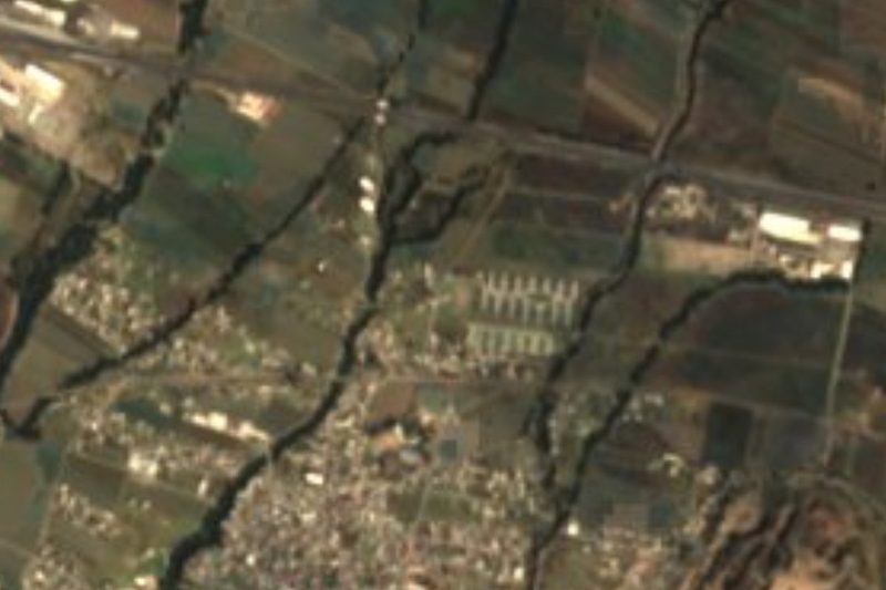
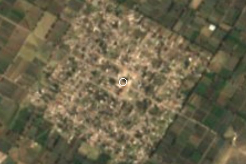
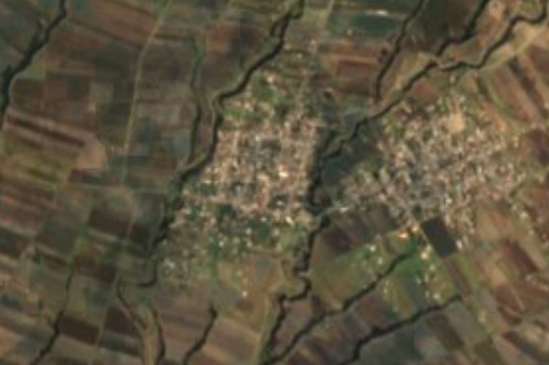
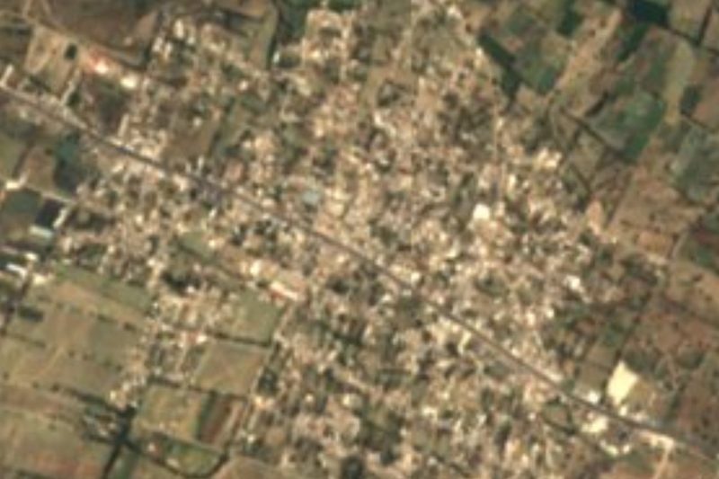


Drive times by road from OpenStreetMap, without traffic. Times marked ~ are estimated from the straight-line distance.
Location from OpenStreetMap. Written by Puebloteca.