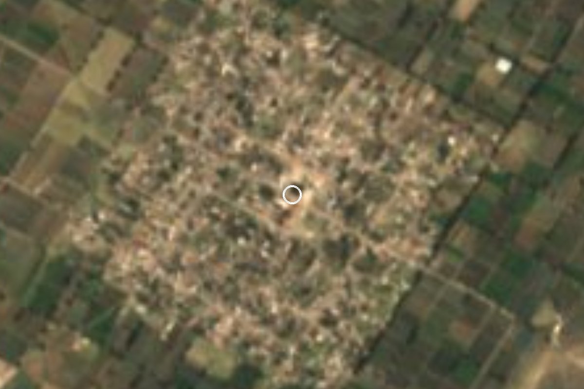
Village Los Reyes de Juárez, Puebla
Farming junta auxiliar of Los Reyes de Juárez, 7 km from Tepeaca, whose people walk every year to the Niño Doctor shrine.
From Puebla: 45 min by car (41 km by road) How to get there ↓
Near here
See everything nearby ↓



Plan your visit to Benito Juárez
Where to stay near Benito Juárez
Compare hotels, posadas and guest houses in Benito Juárez.
Tours to Benito Juárez
Day trips and guided outings from Ixtenco often include Benito Juárez; with a local guide you can get there without a car.
 Private Transportation from Benito Juarez Airport CDMX to Puebla
★ 5.0 (1) · From US$175
How to get to Benito Juárez
- From Puebla: about 45 min by road (~41 km)
- Nearest airport: Puebla (PBC), 1 h 16 min by car to Ixtenco
Links open a partner site. We may earn a commission if you book, at no cost to you.
Popular tours to Benito Juárez


Tours, prices and ratings from Viator, checked weekly. We may earn a commission if you book.
About Benito Juárez
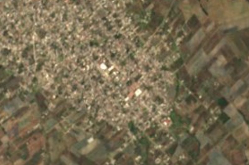
This village on the Tepeaca plain is named after the president who led Mexico through the Reform War, as is its municipality, Los Reyes de Juárez, which took the name when it became a free municipality on 9 September 1936, recalling that Juárez camped in the area in the 1860s. With 4,834 people in 2020 it is one of the municipality's five juntas auxiliares, with its own elected auxiliary president serving three-year terms.
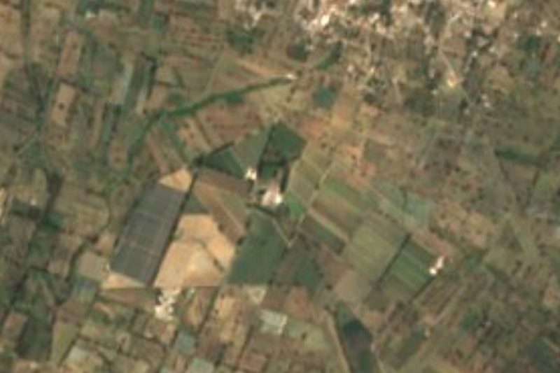
The land is flat limestone country, sloping gently from north to south, with marble beneath. There are no rivers or even streams: crops rely on the valley's irrigation network, and farming is the main living. Ixtle fibre is woven in the municipality, and home cooking includes mole poblano, tamales and tejocote preserves, with pulque to drink.
What sets the village apart is its walking pilgrimage to the church of the Santo Niño Doctor in Tepeaca, which residents make every year because of the image's reputation for miracles; its feast day is 30 April.
How to get to Benito Juárez
Drive from Puebla: 45 min, 41 km
From central Tepeaca it is about 7 km, roughly 11 minutes: leave on 14 Oriente and follow Calle Reforma Norte into the village. From the city of Puebla it is about 40 km and about 45 minutes on highway 150D (Puebla-Orizaba), leaving at Tepeaca. The municipal seat, Los Reyes de Juárez, is about 6 km away by local road. From Ixtenco in Tlaxcala, the nearest pueblo, it is about 55 km and 50 minutes via highways 136, 140D and 150D. Without a car, the practical route is a bus from CAPU to Tepeaca and a taxi from there.
Directions to Benito Juárez on Google Maps
Distances are in a straight line; the road is usually longer.
Links open a partner site. We may earn a commission if you book, at no cost to you.
From the nearest cities to Benito Juárez
- Puebla · 41 km by road, 45 min
- Huamantla · 62 km by road, 55 min
- Chiautempan · 65 km by road, 1 h 5 min
Drive times by road from OpenStreetMap, without traffic or stops. Times marked ~ are estimated from the straight-line distance.
Visiting Benito Juárez: what to see and do
The walking pilgrimage to the Niño Doctor shrine in Tepeaca.
The irrigated fields of the Tepeaca valley.
The church of Los Reyes (1770) in the municipal seat, about 6 km away.
Plan your trip
Places to stay in Benito Juárez
Compare hotels, posadas, and rentals in and around Benito Juárez.
Tours & activities
Day trips and guided outings from Ixtenco often include Benito Juárez; with a local guide you can get there without a car.
Rental cars
Pick up a car at PBC (Puebla): about 1 h 16 min by road to Ixtenco, then 28 km more to Benito Juárez, on your own schedule.
Flights
The nearest airport with scheduled flights is Puebla (PBC), about 1 h 16 min by road from Ixtenco, the base for Benito Juárez.
Mobile data
Signal can drop away from Ixtenco: download a map of the way to Benito Juárez before you set out, or carry an eSIM with data.
Links open a partner site. We may earn a commission if you book, at no cost to you.
When to go to Benito Juárez cool
Benito Juárez shares the climate of Ixtenco, 28 km away. The best months to visit are February, March, November, and December.
See the month-by-month climate of Ixtenco
Weather in Benito Juárez now and the next 7 days
Live forecast from Open-Meteo. Chance of rain is the day's highest.
The closest Pueblo Mágico: Ixtenco

Ixtenco is the Pueblo Mágico closest to Benito Juárez, with places to stay, food, and more to see.
Also close to
- Huamantla · Tlaxcala · 35 km away
- Cholula · Puebla · 48 km away
- Huejotzingo · Puebla · 60 km away
- Atlixco · Puebla · 61 km away
- Tlaxco · Tlaxcala · 73 km away
Closest to Benito Juárez
-
Carmen Serdán · Village · 6 km away
-
Tepeaca · Town · 6 km away
-
Miguel Negrete · Village · 7 km away
-
Acatzingo de Hidalgo · Town · 8 km away
-
San Hipólito Xochiltenango · Village · 8 km away
-
Santiago Acatlán · Village · 8 km away
-
La Magdalena Tetela Morelos · Town · 10 km away
-
Apango de Zaragoza · Village · 11 km away
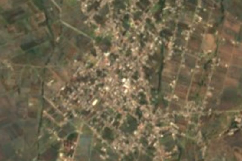
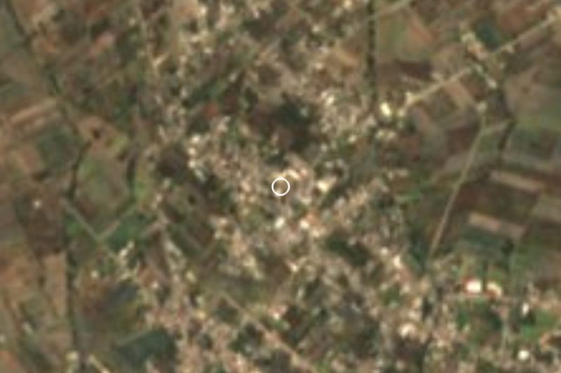
Near Benito Juárez

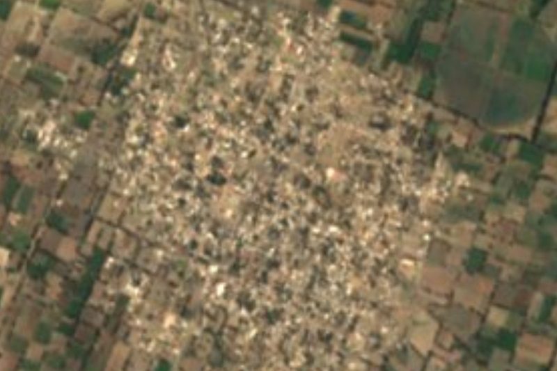

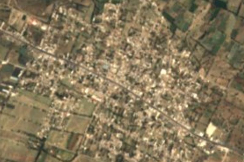


Drive times by road from OpenStreetMap, without traffic. Times marked ~ are estimated from the straight-line distance.
Location from OpenStreetMap. Written by Puebloteca.