
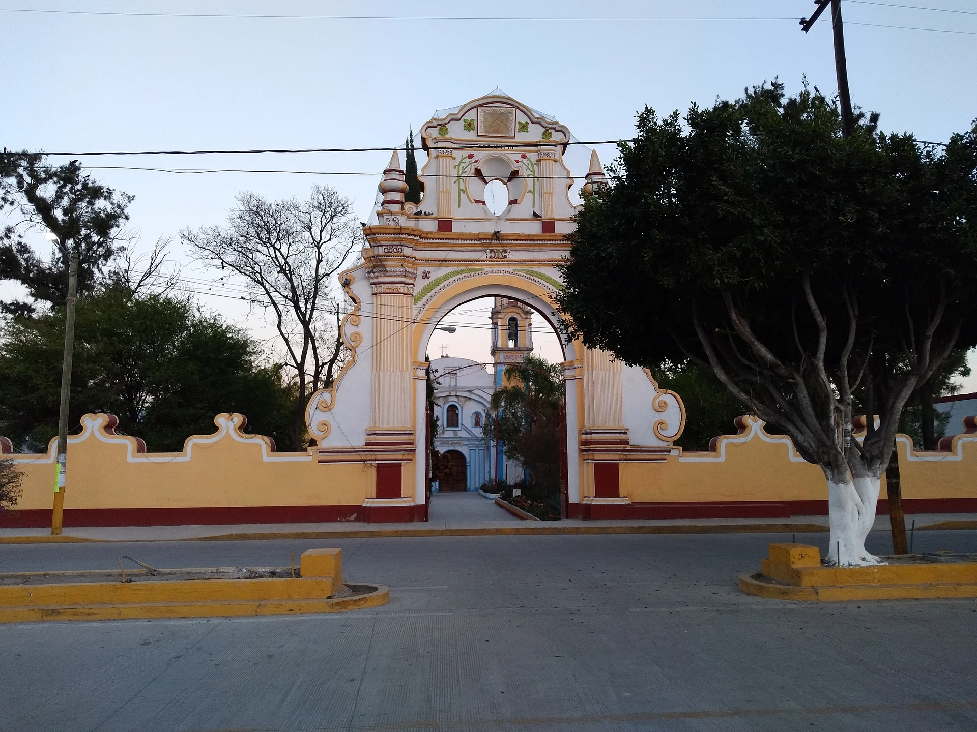
Town Tochtepec, Puebla
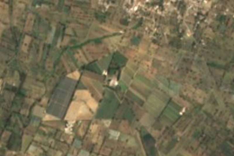
Town in the Tepeaca valley, "on the hill of the rabbits", inhabited since at least AD 1000 at the foot of today's Cerro de Cristo Rey.
From Puebla: 1 h by car (61 km by road) How to get there ↓
Near here
See everything nearby ↓


Plan your visit to Tochtepec
Where to stay near Tochtepec
Compare hotels, posadas and guest houses in Tochtepec.
Tours to Tochtepec
Day trips around Ixtenco sometimes stop in Tochtepec; a tour is the easy way to see it without a car.
How to get to Tochtepec
- From Puebla: about 1 h by road (~61 km)
- Nearest airport: Puebla (PBC), 1 h 16 min by car to Ixtenco
Links open a partner site. We may earn a commission if you book, at no cost to you.
About Tochtepec
Tochtepec, Tecamachalco's neighbour in the Tepeaca valley, heads a municipality of about a hundred square kilometres in central Puebla. In Nahuatl the name joins tochtli, rabbit, tepetl, hill, and c, in: "on the hill of the rabbits". Perched at about 1,970 m, it had 7,443 residents in 2020.
Its history runs deep. Documents show Tochtepec was a well-established community with a notable culture by at least AD 1000, and at the end of 1179 the Toltec-Chichimecs conquered it along with other towns in the region. Since then it has been called Tochtepec, and its people were known as tochtepeuas. Originally the town stood at the foot of the hill now called Cerro de Cristo Rey. In 1895 it became a municipality.
The municipality, about 102 km² at an average of 1,980 m, borders Santo Tomás Hueyotlipan to the north, Huitziltepec, Tepeyahualco de Cuauhtémoc and Tlanepantla to the west, Xochitlán Todos Santos to the south and Tecamachalco to the east. In the town centre stands the church of Santa María de la Natividad, its landmark building.
How to get to Tochtepec
Drive from Puebla: 1 h, 61 km
Tochtepec lies in central Puebla next to Tecamachalco, about 46 km from the capital in a straight line, roughly 50 minutes to an hour by car. The nearest Pueblo Mágico is Ixtenco in Tlaxcala, about 47 km away.
Directions to Tochtepec on Google Maps
Distances are in a straight line; the road is usually longer.
Links open a partner site. We may earn a commission if you book, at no cost to you.
From the nearest cities to Tochtepec
- Puebla · 61 km by road, 1 h
- Tehuacán · 76 km by road, 1 h 15 min
- Huamantla · 83 km by road, 1 h 15 min
Drive times by road from OpenStreetMap, without traffic or stops. Times marked ~ are estimated from the straight-line distance.
Visiting Tochtepec: what to see and do
The church of Santa María de la Natividad.
Cerro de Cristo Rey, site of the original town.
Pair it with Tecamachalco and its convent with Juan Gerson's medallions.
Plan your trip
Places to stay in Tochtepec
Compare hotels, posadas, and rentals in and around Tochtepec.
Tours & activities
Day trips around Ixtenco sometimes stop in Tochtepec; a tour is the easy way to see it without a car.
Rental cars
Pick up a car at PBC (Puebla): about 1 h 16 min by road to Ixtenco, then 47 km more to Tochtepec, on your own schedule.
Flights
The nearest airport with scheduled flights is Puebla (PBC), about 1 h 16 min by road from Ixtenco, the base for Tochtepec.
Mobile data
Signal can drop away from Ixtenco: download a map of the way to Tochtepec before you set out, or carry an eSIM with data.
Links open a partner site. We may earn a commission if you book, at no cost to you.
When to go to Tochtepec cool
Tochtepec shares the climate of Ixtenco, 47 km away. The best months to visit are February, March, November, and December.
See the month-by-month climate of Ixtenco
Weather in Tochtepec now and the next 7 days
Live forecast from Open-Meteo. Chance of rain is the day's highest.
The closest Pueblo Mágico: Ixtenco

Ixtenco is the Pueblo Mágico closest to Tochtepec, with places to stay, food, and more to see.
Also close to
- Huamantla · Tlaxcala · 54 km away
- Cholula · Puebla · 57 km away
- Atlixco · Puebla · 64 km away
- Huejotzingo · Puebla · 71 km away
- Orizaba · Veracruz · 75 km away
Closest to Tochtepec
-
San Martín Caltenco · Village · 5 km away
-
Tepeyahualco de Cuauhtémoc · Village · 6 km away
-
Santo Tomás Hueyotlipan · Village · 7 km away
-
Cuapiaxtla de Madero · Town · 8 km away
-
Ahuatepec · Village · 10 km away
-
Atoyatempan · Town · 10 km away
-
Santa Clara Huitziltepec · Village · 10 km away
-
San Salvador Huixcolotla · Town · 11 km away


Near Tochtepec

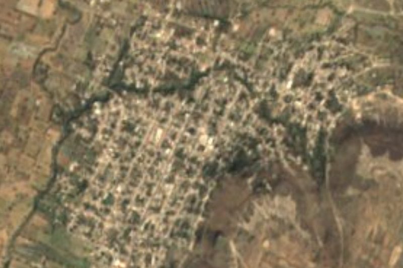

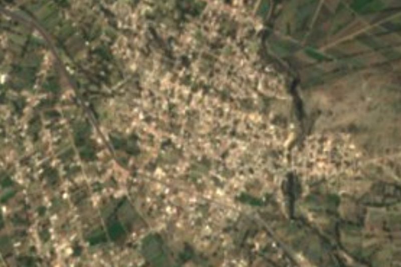

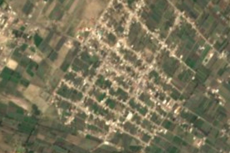
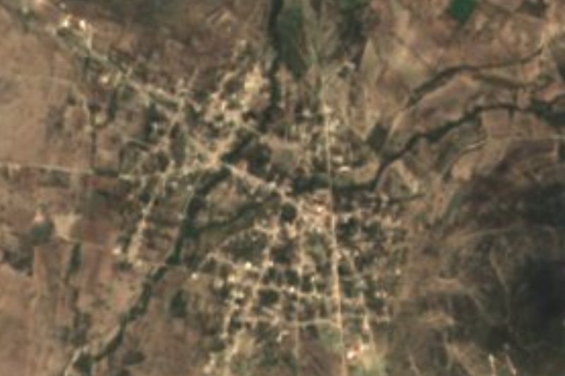


Drive times by road from OpenStreetMap, without traffic. Times marked ~ are estimated from the straight-line distance.
Location from OpenStreetMap. Written by Puebloteca.