

Village Huitziltepec, Puebla Mixteca Poblana
"On the hill of black thorns": seat of Huitziltepec, with a 17th-century parish church, basketry and palm weaving amid dry scrub.
From Puebla: 1 h 5 min by car (61 km by road) How to get there ↓
Near here
See everything nearby ↓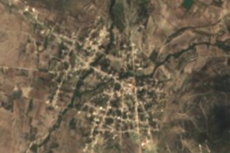


Plan your visit to Santa Clara Huitziltepec
Where to stay near Santa Clara Huitziltepec
Compare hotels, posadas and guest houses in Santa Clara Huitziltepec.
Tours to Santa Clara Huitziltepec
Day trips and guided outings from Ixtenco often include Santa Clara Huitziltepec; with a local guide you can get there without a car.
 Tours from Puebla City
Africam Safari Zoo Admission with Transportation
★ 4.8 (87) · From US$35
How to get to Santa Clara Huitziltepec
- From Puebla: about 1 h 5 min by road (~61 km)
- Nearest airport: Puebla (PBC), 1 h 16 min by car to Ixtenco
Links open a partner site. We may earn a commission if you book, at no cost to you.
Tours from Puebla City, near Santa Clara Huitziltepec


Tours, prices and ratings from Viator, checked weekly. We may earn a commission if you book.
About Santa Clara Huitziltepec
The Nahuatl name of this village is built from huitztli, thorn, tiltic, black, tepetl, hill, and the locative co, and translates as "on the hill of black thorns". The first half of the name comes from its patron, Saint Clare of Assisi, to whom the 17th-century parish church is dedicated, the most notable monument in the whole municipality. Santa Clara is the seat of government of Huitziltepec; the census counted 2,907 people here in 2020, and the houses sit at 1,912 metres, about 45 km in a straight line southeast of the state capital.
Huitziltepec is a small municipality: it covers just 51 km² and its average altitude is around 1,900 metres. A little over half the land (55.75%) is farmed and more than a third is still covered in scrub, which gives the landscape the dry, thorny look that seems to explain the name. Average temperatures run from 16 to 18 °C and 600 to 700 mm of rain fall each year, nearly all in the wet season. The whole territory drains to the Balsas basin, within the Atoyac–Balcón del Diablo sub-basin, and it is crossed by the intermittent Tlanunatl stream, which only carries water in the rainy months.
In people's homes there is basketry, pottery and palm weaving, the area's traditional crafts. On the table come mole poblano, pipián and tamales; for dessert there is tejocote preserve, guayabate and guava paste, and to drink, atole, chocolate and mezcal. On feast days men dress as charros and women as china poblana. The indigenous language has almost vanished: in 2020 only 38 people in the municipality said they spoke Otomí, Totonac or Nahuatl. About 4 km to the south lies Santa Cruz Huitziltepec, already in Molcaxac, which shares the hill's name.
How to get to Santa Clara Huitziltepec
Drive from Puebla: 1 h 5 min, 61 km
It lies about 45 km in a straight line southeast of Puebla city. Take the federal road from Puebla to Cuapiaxtla and, at Cuapiaxtla de Madero, the state road that runs south toward Ixcaquixtla; Santa Clara sits on that road, before the El Cerrito junction and Molcaxac.
Directions to Santa Clara Huitziltepec on Google Maps
Distances are in a straight line; the road is usually longer.
Links open a partner site. We may earn a commission if you book, at no cost to you.
From the nearest cities to Santa Clara Huitziltepec
- Puebla · 61 km by road, 1 h 5 min
- Tehuacán · 68 km by road, 1 h 20 min
- Atlixco · 86 km by road, 1 h 20 min
Drive times by road from OpenStreetMap, without traffic or stops. Times marked ~ are estimated from the straight-line distance.
Visiting Santa Clara Huitziltepec: what to see and do
The 17th-century parish church of Saint Clare of Assisi.
The thorny scrub and rain-fed fields around the village.
Baskets, pottery and woven palm made in the municipality.
Santa Cruz Huitziltepec, 4 km to the south.
Plan your trip
Places to stay in Santa Clara Huitziltepec
Compare hotels, posadas, and rentals in and around Santa Clara Huitziltepec.
Tours & activities
Day trips and guided outings from Ixtenco often include Santa Clara Huitziltepec; with a local guide you can get there without a car.
Rental cars
Pick up a car at PBC (Puebla): about 1 h 16 min by road to Ixtenco, then 54 km more to Santa Clara Huitziltepec, on your own schedule.
Flights
The nearest airport with scheduled flights is Puebla (PBC), about 1 h 16 min by road from Ixtenco, the base for Santa Clara Huitziltepec.
Mobile data
Signal can drop away from Ixtenco: download a map of the way to Santa Clara Huitziltepec before you set out, or carry an eSIM with data.
Links open a partner site. We may earn a commission if you book, at no cost to you.
When to go to Santa Clara Huitziltepec cool
Santa Clara Huitziltepec shares the climate of Ixtenco, 54 km away. The best months to visit are February, March, November, and December.
See the month-by-month climate of Ixtenco
Weather in Santa Clara Huitziltepec now and the next 7 days
Live forecast from Open-Meteo. Chance of rain is the day's highest.
The closest Pueblo Mágico: Ixtenco

Ixtenco is the Pueblo Mágico closest to Santa Clara Huitziltepec, with places to stay, food, and more to see.
Also close to
- Cholula · Puebla · 56 km away
- Atlixco · Puebla · 60 km away
- Huamantla · Tlaxcala · 61 km away
- Huejotzingo · Puebla · 70 km away
Closest to Santa Clara Huitziltepec
-
Santa Cruz Huitziltepec · Village · 4 km away
-
Molcaxac · Village · 5 km away
-
Tepeyahualco de Cuauhtémoc · Village · 5 km away
-
Atoyatempan · Town · 7 km away
-
Cascada de Los Pescaditos · Waterfall · 9 km away
-
San Andrés Mimiahuapan · Village · 9 km away
-
Tochtepec · Town · 10 km away
-
Ahuatepec · Village · 11 km away

Near Santa Clara Huitziltepec

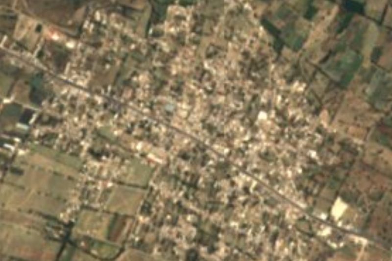

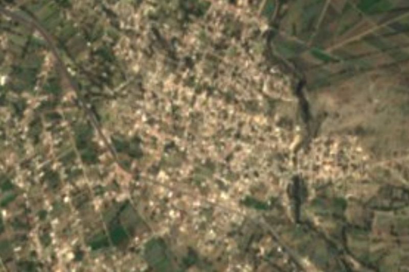




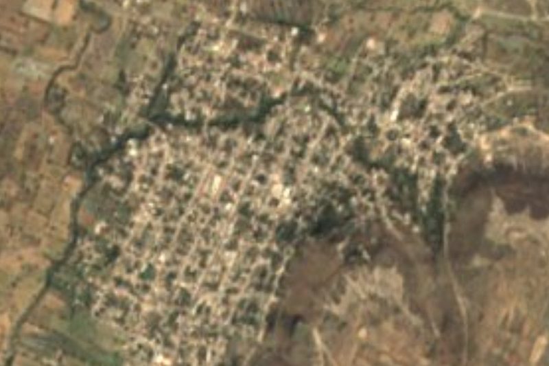
Drive times by road from OpenStreetMap, without traffic. Times marked ~ are estimated from the straight-line distance.
Location from OpenStreetMap. Written by Puebloteca.