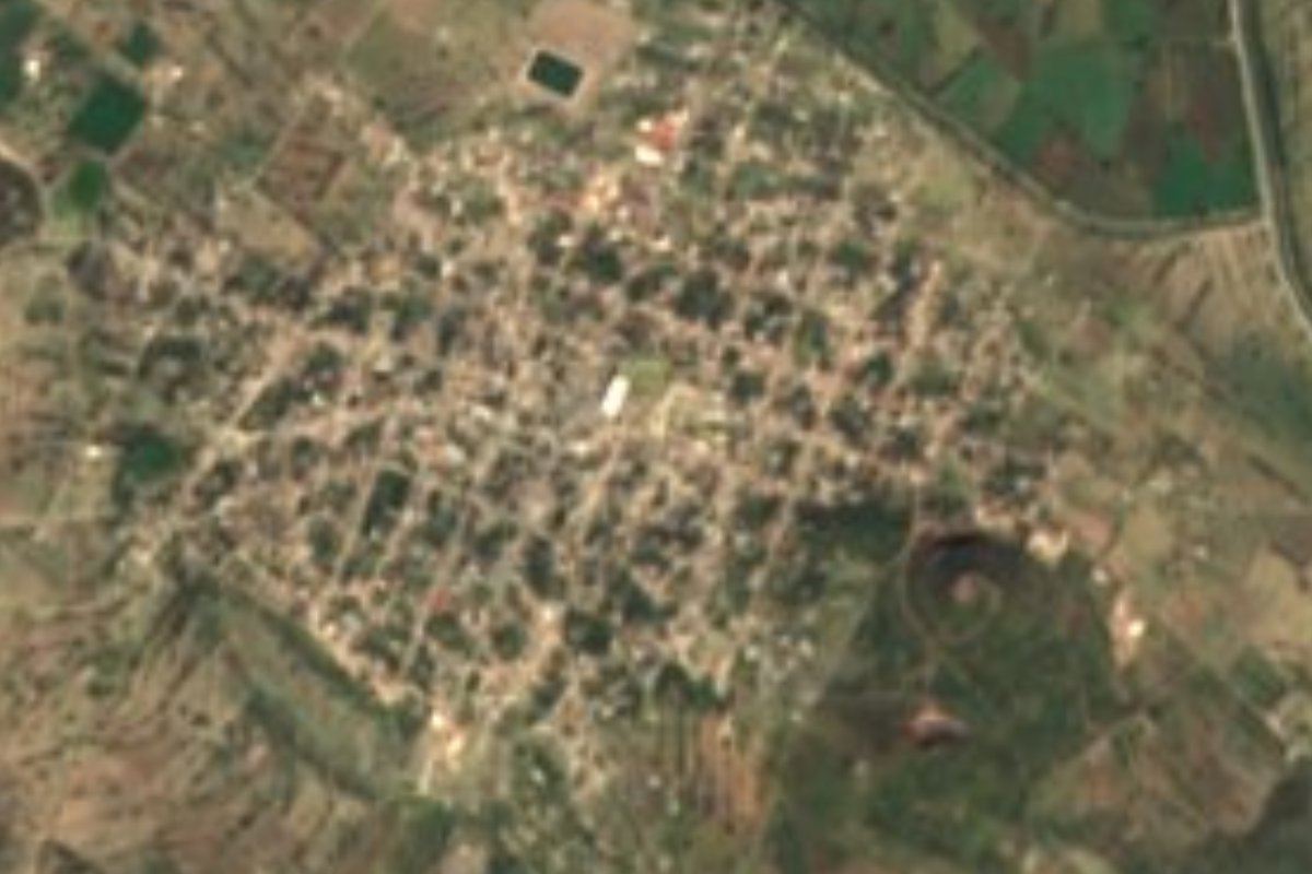
Village Yehualtepec, Puebla Municipality of Yehualtepec Tehuacán Valley
"Place full of tezontle": a Yehualtepec village with an 18th-century church to the archangel Gabriel, amid rocky plains and low hills.
From Tehuacán: 55 min by car (50 km by road) How to get there ↓
Near here
See everything nearby ↓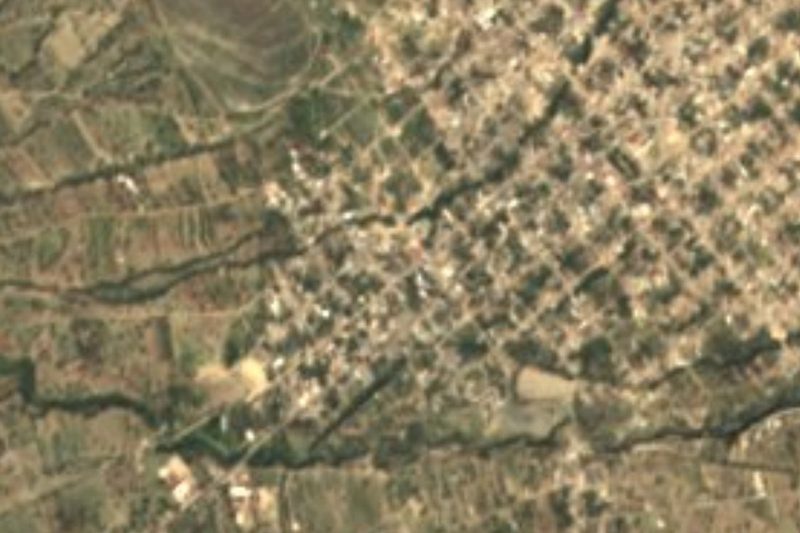
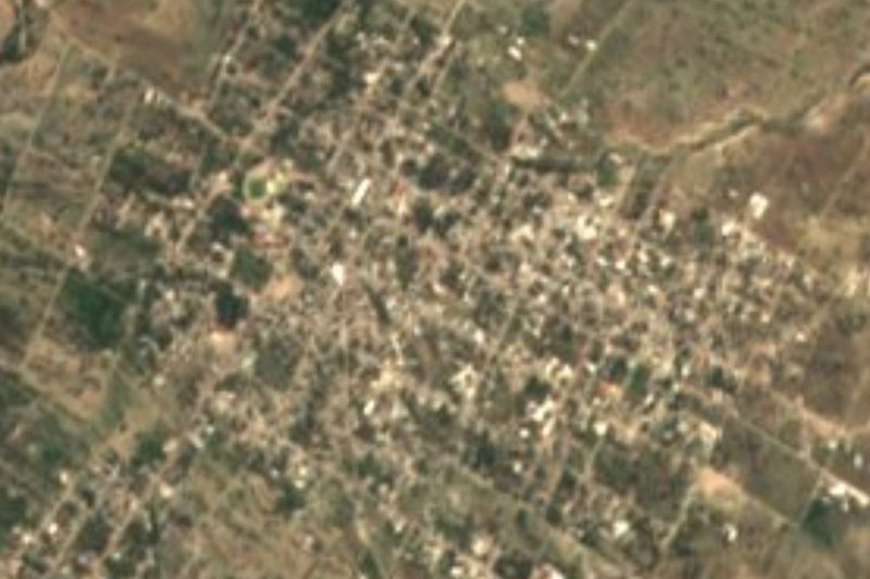
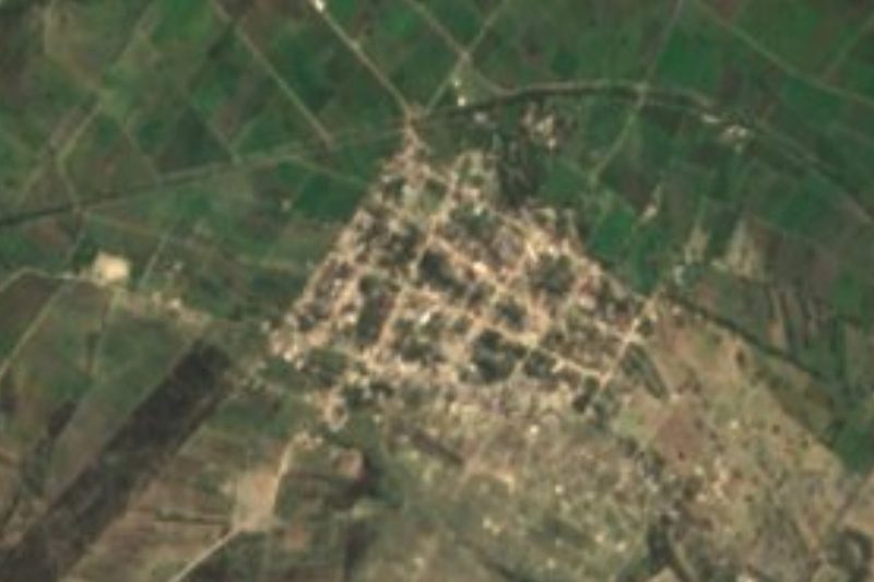


Plan your visit to San Gabriel Tetzoyocan
Where to stay near San Gabriel Tetzoyocan
Compare hotels, posadas and guest houses in San Gabriel Tetzoyocan.
Tours to San Gabriel Tetzoyocan
Day trips and guided outings from Ixtenco often include San Gabriel Tetzoyocan; with a local guide you can get there without a car.
How to get to San Gabriel Tetzoyocan
- From Tehuacán: about 55 min by road (~50 km)
- Nearest airport: Puebla (PBC), 1 h 16 min by car to Ixtenco
Links open a partner site. We may earn a commission if you book, at no cost to you.
About San Gabriel Tetzoyocan
Tezontle, the reddish porous volcanic stone, gave this village its name: Tetzoyocan is built from tezontli, yotl (quality) and can (place), meaning "place full of tezontle". The Christian half of the name belongs to its patron, the archangel Gabriel. With 6,667 residents counted in 2020, it is one of the larger communities in the municipality of Yehualtepec, whose seat lies about 6 km to the northeast as the crow flies. The village stands at 2,006 metres on the eastern edge of the Puebla highlands.
The municipal territory is almost entirely plain broken by low hills with rocky ground, plus a little low sierra and gently sloping valleys. Water divides here between two great watersheds: half the municipality drains to the Atoyac and the Balsas, the other half to the Salado, part of the Papaloapan basin that runs toward the Gulf. There are no permanent rivers, only seasonal streams and irrigation canals. INEGI describes a temperate sub-humid climate over three quarters of the area and semi-dry over the rest, with just 500 to 700 millimetres of rain a year.
The area was home to Nahua people before the Conquest; around 1604 it was gathered into a congregation of towns, in the 19th century it answered to the Tecamachalco district, and in 1895 Yehualtepec became a free municipality. Local crafts are varied: wool blankets, gabán ponchos and yarn, ixtle ropes pulled from maguey, brick, onyx chess sets and polished marble. The traditional women's dress is the woollen "sesote", worn with a rebozo shawl and braids tied with coloured ribbons, and the local drinks are pulque and aguamiel.
How to get to San Gabriel Tetzoyocan
Drive from Tehuacán: 55 min, 50 km
Tehuacán is about 47 km away and the city of Puebla about 62 km as the crow flies, to the northwest. The usual route leaves Puebla eastward toward Tecamachalco, the neighbouring municipality to the north, then follows local roads down to Yehualtepec and Tetzoyocan.
Directions to San Gabriel Tetzoyocan on Google Maps
Distances are in a straight line; the road is usually longer.
Links open a partner site. We may earn a commission if you book, at no cost to you.
From the nearest cities to San Gabriel Tetzoyocan
- Tehuacán · 50 km by road, 55 min
- Puebla · 81 km by road, 1 h 10 min
- Orizaba · 104 km by road, 1 h 20 min
Drive times by road from OpenStreetMap, without traffic or stops. Times marked ~ are estimated from the straight-line distance.
Visiting San Gabriel Tetzoyocan: what to see and do
The 18th-century church of San Gabriel is the building INEGI singles out in the village within the municipal inventory, which also lists the early 19th-century church of San Juan Ocotlán. Around it spread irrigated plots, maguey and stony tezontle hills.
Plan your trip
Places to stay in San Gabriel Tetzoyocan
Compare hotels, posadas, and rentals in and around San Gabriel Tetzoyocan.
Tours & activities
Day trips and guided outings from Ixtenco often include San Gabriel Tetzoyocan; with a local guide you can get there without a car.
Rental cars
Pick up a car at PBC (Puebla): about 1 h 16 min by road to Ixtenco, then 60 km more to San Gabriel Tetzoyocan, on your own schedule.
Flights
The nearest airport with scheduled flights is Puebla (PBC), about 1 h 16 min by road from Ixtenco, the base for San Gabriel Tetzoyocan.
Mobile data
Signal can drop away from Ixtenco: download a map of the way to San Gabriel Tetzoyocan before you set out, or carry an eSIM with data.
Links open a partner site. We may earn a commission if you book, at no cost to you.
When to go to San Gabriel Tetzoyocan cool
San Gabriel Tetzoyocan shares the climate of Ixtenco, 60 km away. The best months to visit are February, March, November, and December.
See the month-by-month climate of Ixtenco
Weather in San Gabriel Tetzoyocan now and the next 7 days
Live forecast from Open-Meteo. Chance of rain is the day's highest.
The closest Pueblo Mágico: Ixtenco

Ixtenco is the Pueblo Mágico closest to San Gabriel Tetzoyocan, with places to stay, food, and more to see.
Also close to
- Orizaba · Veracruz · 64 km away
- Huamantla · Tlaxcala · 66 km away
- Cholula · Puebla · 72 km away
- Coscomatepec · Veracruz · 77 km away
- Atlixco · Puebla · 78 km away
Closest to San Gabriel Tetzoyocan
-
Ocotlán de Venustiano Carranza · Village · 5 km away
-
San Miguel Zozutla · Village · 5 km away
-
Tepazolco · Village · 6 km away
-
Yehualtepec · Village · 6 km away
-
Santiago Alseseca · Town · 10 km away
-
Tlacotepec de Benito Juárez · Village · 10 km away
-
Xochitlán Todos Santos · Village · 10 km away
-
San Marcos Tlacoyalco · Village · 14 km away
Near San Gabriel Tetzoyocan


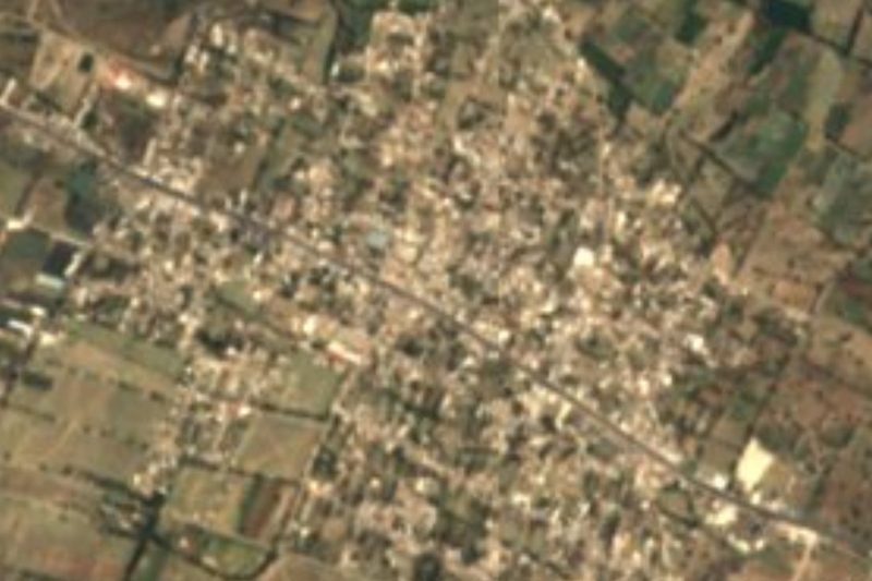


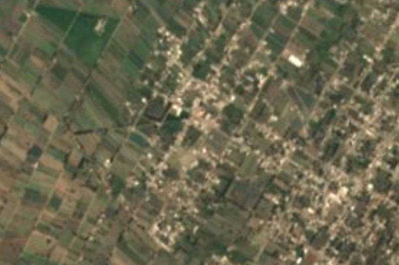
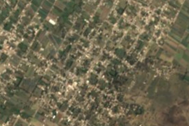
Drive times by road from OpenStreetMap, without traffic. Times marked ~ are estimated from the straight-line distance.
Location from OpenStreetMap. Written by Puebloteca.