Village Tepanco de López, Puebla Municipality of Tepanco de López Tehuacán Valley
Village of Tepanco de López, "on the hill of god", the municipality's largest, at the northern tip of the Tehuacán valley.
From Tehuacán: 25 min by car (17 km by road) How to get there ↓
Near here
See everything nearby ↓



Plan your visit to San Bartolo Teontepec
Where to stay near San Bartolo Teontepec
Compare hotels, posadas and guest houses in San Bartolo Teontepec.
Tours to San Bartolo Teontepec
Day trips and guided outings from Orizaba often include San Bartolo Teontepec; with a local guide you can get there without a car.
 Tours from Puebla City
Africam Safari Zoo Admission with Transportation
★ 4.8 (87) · From US$35
How to get to San Bartolo Teontepec
- From Tehuacán: about 25 min by road (~17 km)
- Nearest airport: Veracruz (VER), 1 h 42 min by car to Orizaba
Links open a partner site. We may earn a commission if you book, at no cost to you.
Tours from Puebla City, near San Bartolo Teontepec


Tours, prices and ratings from Viator, checked weekly. We may earn a commission if you book.
About San Bartolo Teontepec
Teontepec means "on the hill of god", from teotl, god, tepetl, hill, and co, on, and the village does have a sacred hill where people went to hold rites. That is also the source of the nickname its people carry in the region, "teochis", from teochihua, to consecrate or bless: though sometimes used as a put-down, it can be read as "the consecrated" or "the worshippers". Its patron is Saint Bartholomew. With 6,238 people in 2020 it is one of the largest places in Tepanco de López, at about 1,800 m and some 15 km from Tehuacán.
The municipality, about 208 km², occupies the northern tip of the Tehuacán valley, between the Sierra de Tecamachalco to the east and the Sierra de Zapotitlán to the west. Its name reads "at the boundary" or "on the stony ground", and López was added in 1869 in honour of José María "el Güero" López, a liberal guerrilla born here who made his name in Oaxaca during the French Intervention. It has no permanent rivers: farms are watered from seasonal ravines and from canals bringing water from the Valsequillo reservoir.
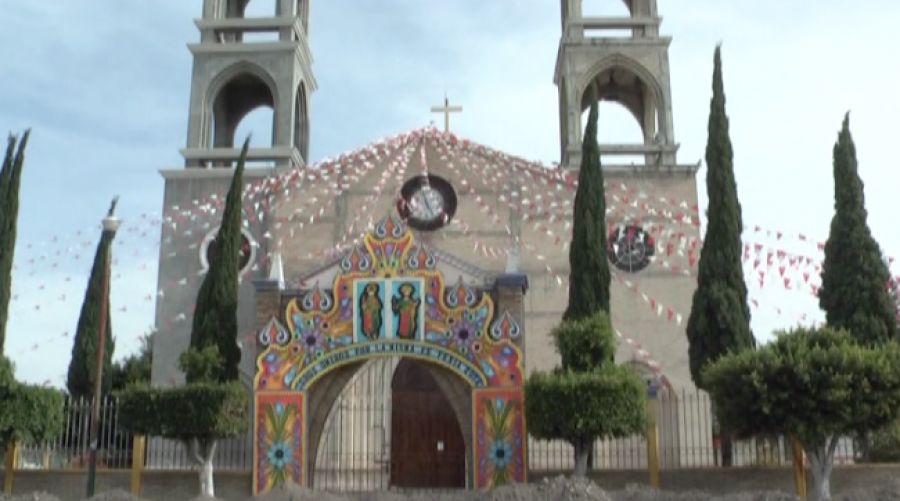
It is semi-arid country, averaging 14 to 20 °C with only 400 to 800 mm of rain; scrub covers more than two fifths of the municipality. People weave palm and reed, eat goat-hip or backbone mole, totopos, tlaxcales and chileatole, and drink atole, chocolate, aguardiente and mezcal. For festivals the church front is decked with colourful arches, as the photo shows.
How to get to San Bartolo Teontepec
Drive from Tehuacán: 25 min, 17 km
San Bartolo Teontepec is about 15 km in a straight line north-west of Tehuacán. From Puebla, take highway 150D toward Tehuacán; buses from the CAPU reach Tehuacán in about two hours, with local transport on to Tepanco and its villages.
Directions to San Bartolo Teontepec on Google Maps
Distances are in a straight line; the road is usually longer.
Links open a partner site. We may earn a commission if you book, at no cost to you.
From the nearest cities to San Bartolo Teontepec
- Tehuacán · 17 km by road, 25 min
- Orizaba · 75 km by road, 1 h 20 min
- Huajuapan de León · about 105 km by road, ~1 h 30 min
Drive times by road from OpenStreetMap, without traffic or stops. Times marked ~ are estimated from the straight-line distance.
Visiting San Bartolo Teontepec: what to see and do
The church of San Bartolo and its festival arches.
The village's sacred hill.
Tehuacán, about 15 km away.
Plan your trip
Places to stay in San Bartolo Teontepec
Compare hotels, posadas, and rentals in and around San Bartolo Teontepec.
Tours & activities
Day trips and guided outings from Orizaba often include San Bartolo Teontepec; with a local guide you can get there without a car.
Rental cars
Pick up a car at VER (Veracruz): about 1 h 42 min by road to Orizaba, then 60 km more to San Bartolo Teontepec, on your own schedule.
Flights
The nearest airport with scheduled flights is Veracruz (VER), about 1 h 42 min by road from Orizaba, the base for San Bartolo Teontepec.
Mobile data
Signal can drop away from Orizaba: download a map of the way to San Bartolo Teontepec before you set out, or carry an eSIM with data.
Links open a partner site. We may earn a commission if you book, at no cost to you.
When to go to San Bartolo Teontepec mild
San Bartolo Teontepec shares the climate of Orizaba, 60 km away. The best months to visit are February, March, April, and December.
See the month-by-month climate of Orizaba
Weather in San Bartolo Teontepec now and the next 7 days
Live forecast from Open-Meteo. Chance of rain is the day's highest.
The closest Pueblo Mágico: Orizaba

Orizaba is the Pueblo Mágico closest to San Bartolo Teontepec, with places to stay, food, and more to see.
Also close to
- Córdoba · Veracruz · 77 km away
Closest to San Bartolo Teontepec
-
Magdalena Cuayucatepec · Town · 8 km away
-
Tepanco de López · Village · 8 km away
-
Santiago Miahuatlán · Village · 11 km away
-
San Antonio Texcala · Village · 13 km away
-
San Luis Temalacayuca · Village · 13 km away
-
Santa Ana Teloxtoc · Village · 13 km away
-
Museo del Valle de Tehuacán · Landmark · 14 km away
-
Tehuacán · City · 14 km away


Near San Bartolo Teontepec


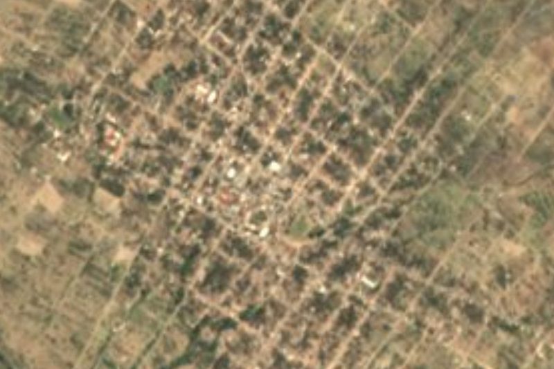


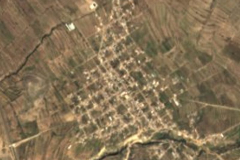


Drive times by road from OpenStreetMap, without traffic. Times marked ~ are estimated from the straight-line distance.
Location from OpenStreetMap. Written by Puebloteca.