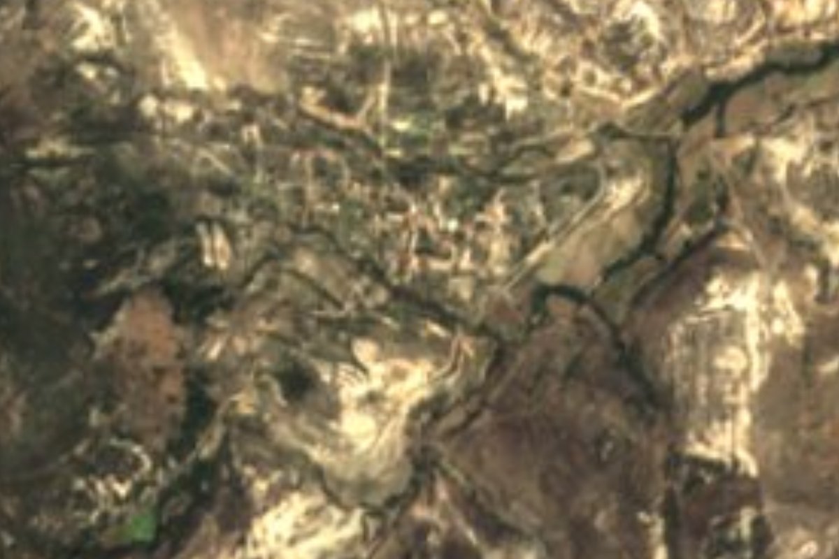
Town Santa Magdalena Jicotlán, Oaxaca Mixteca of Oaxaca
Mexico's least populous municipality: 81 people in 2020, at 2,179 m, with a mid-18th-century baroque church.
From Huajuapan de León: 1 h 5 min by car (62 km by road) How to get there ↓
Near here
See everything nearby ↓


Plan your visit to Santa Magdalena Jicotlán
Where to stay near Santa Magdalena Jicotlán
Compare hotels, posadas and guest houses in Santa Magdalena Jicotlán.
Tours to Santa Magdalena Jicotlán
Day trips around Teposcolula sometimes stop in Santa Magdalena Jicotlán; a tour is the easy way to see it without a car.
How to get to Santa Magdalena Jicotlán
- From Huajuapan de León: about 1 h 5 min by road (~62 km)
- Nearest airport: Oaxaca (OAX), 1 h 45 min by car to Teposcolula
Links open a partner site. We may earn a commission if you book, at no cost to you.
About Santa Magdalena Jicotlán
Santa Magdalena Jicotlán has been Mexico's least populous municipality since the 2020 census: 81 inhabitants in the whole municipality, 80 in the seat and 1 in Barrio San Miguel. In 2010 there were 93. It lies at about 2,179 m in the Mixteca oaxaqueña, Coixtlahuaca district, in a municipality of only 26.8 km² ringed by the Sierra Madre Oriental. Migration is the main reason for the emptying out.
The name comes from Nahuatl and means "place of wasps" (jicotes); in Chocho it is Näjä, with a similar sense. Its history is hard to trace. It may have begun from land split off from San Mateo Tlapiltepec, and from 1929 to 1939 the two municipalities had an agrarian dispute. The church of Santa María Magdalena was built in the mid-18th century and has baroque touches.
It borders San Francisco Teopan and Tlacotepec Plumas to the north, San Mateo Tlapiltepec to the east, San Miguel Tulancingo and La Trinidad Vista Hermosa to the south and San Pedro Nopala to the west. People live from farming and a few goats and chickens. There is a kindergarten and a primary school, each with a single teacher, and the town is governed by usos y costumbres. No visitor services are reported: this is a place to see respectfully and in passing.
How to get to Santa Magdalena Jicotlán
Drive from Huajuapan de León: 1 h 5 min, 62 km
Santa Magdalena Jicotlán is about 60 km east of Huajuapan de León and is reached only by a dirt road linking it with Tlacotepec Plumas, according to the fullest reference we found. From Huajuapan you head for Tlacotepec Plumas and take that dirt road from there; we found no published travel time. From Oaxaca city another source mentions about two hours following the signs and about 140 km, but the figures do not agree: confirm the route before leaving. We found no scheduled bus or colectivo to the village; ask in Huajuapan or in Tlacotepec Plumas. Because it is a dirt road, bring water and food and confirm conditions before leaving.
Directions to Santa Magdalena Jicotlán on Google Maps
Distances are in a straight line; the road is usually longer.
Links open a partner site. We may earn a commission if you book, at no cost to you.
From the nearest cities to Santa Magdalena Jicotlán
- Huajuapan de León · 62 km by road, 1 h 5 min
- Tehuacán · 98 km by road, 1 h 15 min
- Oaxaca · 142 km by road, 1 h 45 min
Drive times by road from OpenStreetMap, without traffic or stops. Times marked ~ are estimated from the straight-line distance.
Visiting Santa Magdalena Jicotlán: what to see and do
Visit the 18th-century church of Santa María Magdalena, with baroque touches.
Walk the village: it is a few houses and you see it all in minutes.
Look at the plots and the sierra around it.
Pass through Tlacotepec Plumas, the neighbour the road comes from.
Be respectful: it is 80 people and there are no tourist services.
Plan your trip
Places to stay in Santa Magdalena Jicotlán
Compare hotels, posadas, and rentals in and around Santa Magdalena Jicotlán.
Tours & activities
Day trips around Teposcolula sometimes stop in Santa Magdalena Jicotlán; a tour is the easy way to see it without a car.
Rental cars
Pick up a car at OAX (Oaxaca): about 1 h 45 min by road to Teposcolula, then 33 km more to Santa Magdalena Jicotlán, on your own schedule.
Flights
The nearest airport with scheduled flights is Oaxaca (OAX), about 1 h 45 min by road from Teposcolula, the base for Santa Magdalena Jicotlán.
Mobile data
Signal can drop away from Teposcolula: download a map of the way to Santa Magdalena Jicotlán before you set out, or carry an eSIM with data.
Links open a partner site. We may earn a commission if you book, at no cost to you.
When to go to Santa Magdalena Jicotlán cool
Santa Magdalena Jicotlán shares the climate of Teposcolula, 33 km away. The best months to visit are January, February, March, and December.
See the month-by-month climate of Teposcolula
Weather in Santa Magdalena Jicotlán now and the next 7 days
Live forecast from Open-Meteo. Chance of rain is the day's highest.
The closest Pueblo Mágico: Teposcolula

Teposcolula is the Pueblo Mágico closest to Santa Magdalena Jicotlán, with places to stay, food, and more to see.
Also close to
- Huautla · Oaxaca · 74 km away
Closest to Santa Magdalena Jicotlán
-
Tlacotepec Plumas · Town · 6 km away
-
Concepción Buenavista · Town · 11 km away
-
Teotongo · Town · 11 km away
-
San Cristóbal Suchixtlahuaca · Town · 14 km away
-
Villa Tejúpam de la Unión · Town · 16 km away
-
Coixtlahuaca · Landmark · 18 km away
-
Santiago Huajolotitlán · Town · 28 km away
-
San Juan Teposcolula · Town · 29 km away


Near Santa Magdalena Jicotlán




Drive times by road from OpenStreetMap, without traffic. Times marked ~ are estimated from the straight-line distance.
Location from OpenStreetMap. Written by Puebloteca.