

Town Tezoatlán de Segura y Luna, Oaxaca Mixteca of Oaxaca
Mixtec village of about 190 people at 1,900 m: a 20 m stone church, goat barbacoa and a fiesta on 24 November.
From Huajuapan de León: 55 min by car (45 km by road) How to get there ↓
Near here
See everything nearby ↓

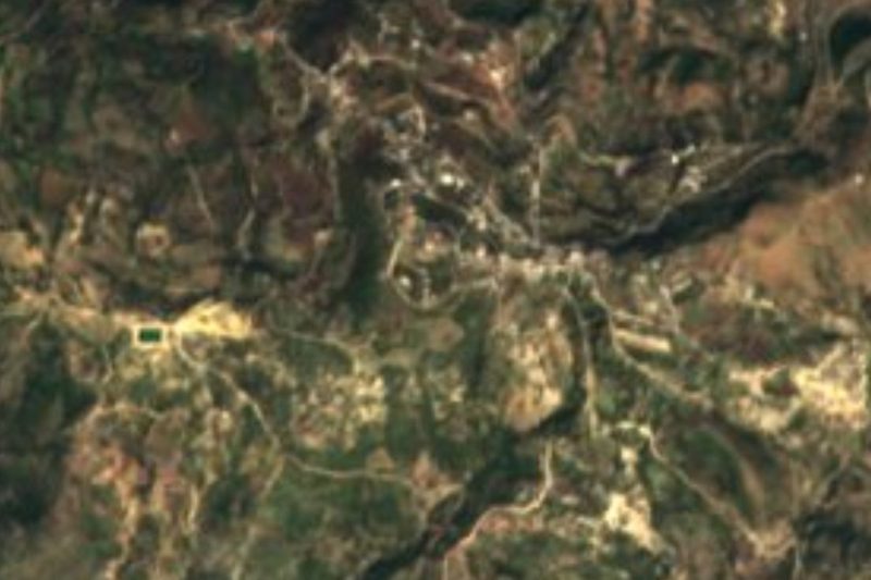

Plan your visit to Santa Catarina Yutandú
Where to stay near Santa Catarina Yutandú
Compare hotels, posadas and guest houses in Santa Catarina Yutandú.
Tours to Santa Catarina Yutandú
Day trips around Teposcolula sometimes stop in Santa Catarina Yutandú; a tour is the easy way to see it without a car.
How to get to Santa Catarina Yutandú
- From Huajuapan de León: about 55 min by road (~45 km)
- Nearest airport: Oaxaca (OAX), 1 h 45 min by car to Teposcolula
Links open a partner site. We may earn a commission if you book, at no cost to you.
About Santa Catarina Yutandú
Yutandú is said locally to mean something like "river over hard stone", and the village sits at about 1,900 m in the Mixteca Baja, with a temperate-cold climate. It belongs to the municipality of Tezoatlán de Segura y Luna and borders Tezoatlán, Peña Colorada, San Martín del Río and San Juan Diquiyu. In 2010 about 190 people lived here in 44 homes, and most speak Mixtec.
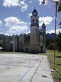
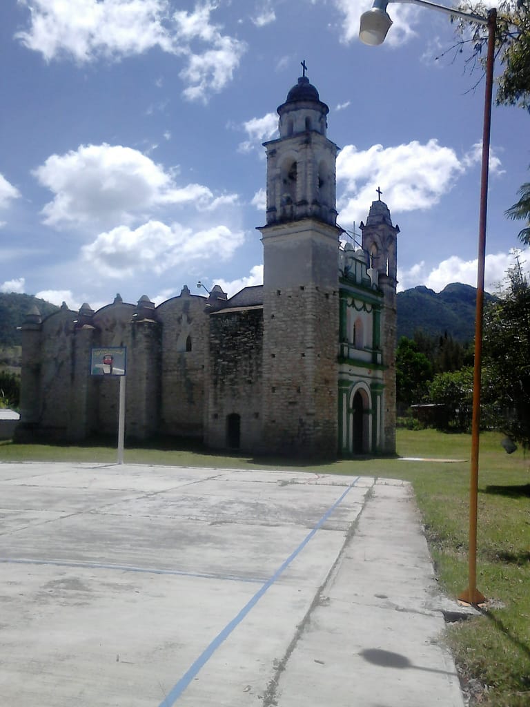
The church is what you notice first: about 20 m tall, built of local stone and, as the story goes, without rebar or foundations. Around it stand the municipal hall, the basketball court, a library, kindergarten, primary school and a health clinic. Above the village rises the Cerro de la Arena, the landmark of the landscape.
People raise goats and cattle and weave palm hats. The village governs itself by usos y costumbres: posts are chosen by assembly and carry no salary. There are two big fiestas: the second Friday of Lent, for the Señor de la Paz, and 24 November, the feast of the patron saint, Santa Catarina. Goat barbacoa and green and red pozole are the festival food. There are two shops and no lodging is listed, so bring water and something to eat.
How to get to Santa Catarina Yutandú
Drive from Huajuapan de León: 55 min, 45 km
Santa Catarina Yutandú is in the Mixteca Baja, in the municipality of Tezoatlán de Segura y Luna, about 34 km from Teposcolula as the crow flies, so the road will be noticeably longer (we found no published figure). The reference point is Tezoatlán, the municipal seat, which lies north of the village; from there you look for the local road to Yutandú. We found no published bus or colectivo schedule and no named operator for the village: a passenger pickup from the seat is common in the region, but we have no source confirming it, so ask in Tezoatlán or Huajuapan.
Directions to Santa Catarina Yutandú on Google Maps
Distances are in a straight line; the road is usually longer.
Links open a partner site. We may earn a commission if you book, at no cost to you.
From the nearest cities to Santa Catarina Yutandú
- Huajuapan de León · 45 km by road, 55 min
- Tehuacán · 185 km by road, 2 h 50 min
- Oaxaca · 196 km by road, 3 h
Drive times by road from OpenStreetMap, without traffic or stops. Times marked ~ are estimated from the straight-line distance.
Before you go to Santa Catarina Yutandú: hours, prices and tips
- Best season
- Main fiestas: second Friday of Lent (Señor de la Paz) and 24 November (Santa Catarina). Wikipedia · checked Oct 2026
Hours and prices change, especially around holidays. Each fact links to where we checked it.
Visiting Santa Catarina Yutandú: what to see and do
Look at the 20 m stone church beside the village basketball court.
See or climb the Cerro de la Arena, which dominates the landscape.
Come on the second Friday of Lent for the fiesta of the Señor de la Paz.
Come on 24 November for Santa Catarina's fiesta, with fireworks and goat barbacoa.
Try green or red pozole and goat barbacoa at fiesta time.
Ask for the woven palm hats made by local families.
Plan your trip
Places to stay in Santa Catarina Yutandú
Compare hotels, posadas, and rentals in and around Santa Catarina Yutandú.
Tours & activities
Day trips around Teposcolula sometimes stop in Santa Catarina Yutandú; a tour is the easy way to see it without a car.
Rental cars
Pick up a car at OAX (Oaxaca): about 1 h 45 min by road to Teposcolula, then 34 km more to Santa Catarina Yutandú, on your own schedule.
Flights
The nearest airport with scheduled flights is Oaxaca (OAX), about 1 h 45 min by road from Teposcolula, the base for Santa Catarina Yutandú.
Mobile data
Signal can drop away from Teposcolula: download a map of the way to Santa Catarina Yutandú before you set out, or carry an eSIM with data.
Links open a partner site. We may earn a commission if you book, at no cost to you.
Photos
When to go to Santa Catarina Yutandú cool
Santa Catarina Yutandú shares the climate of Teposcolula, 34 km away. The best months to visit are January, February, March, and December.
See the month-by-month climate of Teposcolula
Weather in Santa Catarina Yutandú now and the next 7 days
Live forecast from Open-Meteo. Chance of rain is the day's highest.
The closest Pueblo Mágico: Teposcolula

Teposcolula is the Pueblo Mágico closest to Santa Catarina Yutandú, with places to stay, food, and more to see.
Closest to Santa Catarina Yutandú
-
Yucuquimi de Ocampo · Town · 8 km away
-
San Marcos Arteaga · Town · 19 km away
-
Santo Domingo Tonalá · Town · 21 km away
-
San Agustín Atenango · Town · 22 km away
-
Ixpantepec Nieves · Town · 25 km away
-
Santiago Yolomécatl · Town · 27 km away
-
San Juan Mixtepec Distrito 08 · Town · 28 km away
-
Huamelulpan · Archaeological site · 29 km away
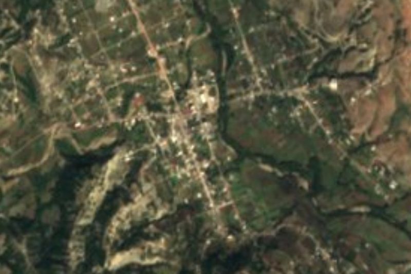

Near Santa Catarina Yutandú


Drive times by road from OpenStreetMap, without traffic. Times marked ~ are estimated from the straight-line distance.
Location from OpenStreetMap. Written by Puebloteca.