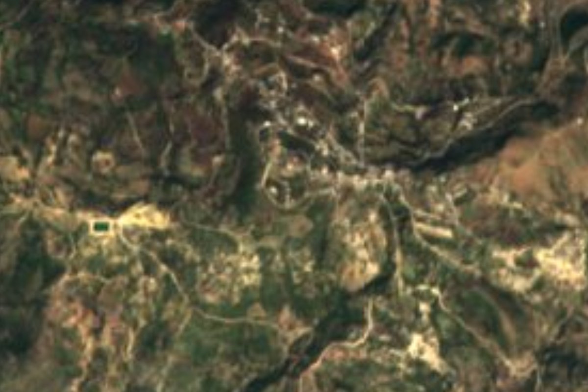
Town Ixpantepec Nieves, Oaxaca Mixteca of Oaxaca
Mixtec municipal seat at 2,100 m in the Silacayoápam district, 601 residents, with dirt roads to Juxtlahuaca and Silacayoápam.
From Huajuapan de León: 1 h 25 min by car (78 km by road) How to get there ↓
Near here
See everything nearby ↓
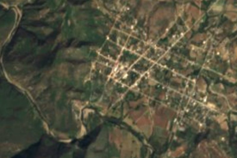


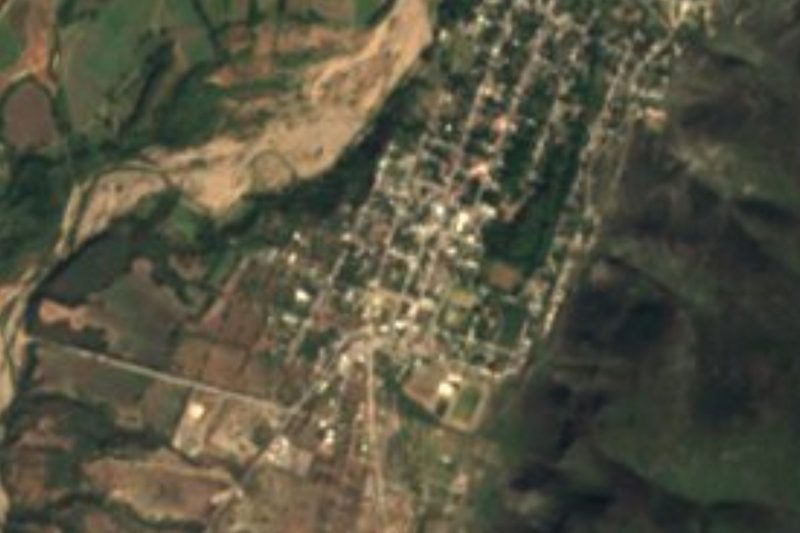

Plan your visit to Ixpantepec Nieves
Where to stay near Ixpantepec Nieves
Compare hotels, posadas and guest houses in Ixpantepec Nieves.
Tours to Ixpantepec Nieves
Day trips around Teposcolula sometimes stop in Ixpantepec Nieves; a tour is the easy way to see it without a car.
How to get to Ixpantepec Nieves
- From Huajuapan de León: about 1 h 25 min by road (~78 km)
- Nearest airport: Oaxaca (OAX), 1 h 45 min by car to Teposcolula
Links open a partner site. We may earn a commission if you book, at no cost to you.
About Ixpantepec Nieves
The name Ixpantepec comes from the Nahuatl ixpan and tepetl and is read as "in front of the hill" or "the hill opposite". The town, seat of the municipality of the same name, is in the Silacayoápam district of the Oaxaca Mixteca, at about 2,100 metres. The climate is temperate highland: an annual average near 16 °C, January the coolest month and May the warmest, with roughly 1,150 mm of rain a year.
Local history says it was founded around 1800 by no more than ten families who settled on Yucuyia hill, a Mixtec name that means "volcano hill". The population has fallen since then: 701 residents in 2005, 687 in 2010 and 601 in 2020, largely because of emigration abroad for lack of work. More than nine in ten people identify as Indigenous and about two thirds speak an Indigenous language.
The economy is mostly farming, with some cattle, pigs and sheep and, for some families, trade in hats and other palm-leaf goods. There is a primary and a secondary school, an IMSS clinic, a public market, two grocery stores and a street tianguis that sells mainly fruit, vegetables, chicken and meat. Two public basketball courts stand in the centre.
Around the town are nearby hills such as Shiniyuticua'a (2,133 m, about 2 km east) and Pachón (2,177 m, about 3 km southeast), and hamlets within 3 km, among them El Carrizal, San Juan, Rancho Alegre and Santiago Asunción. No hotels or restaurants are documented: this is a place to see the rural Mixteca, not a stop with organised tourism.
How to get to Ixpantepec Nieves
Drive from Huajuapan de León: 1 h 25 min, 78 km
Ixpantepec Nieves is linked by dirt roads to Juxtlahuaca to the south and Silacayoápam to the east; no paved road to the town is documented, so go in a vehicle with decent clearance and ask about road conditions. We found no published bus or colectivo timetable to Ixpantepec: the practical way is to reach Juxtlahuaca, Silacayoápam or Huajuapan de León first and ask there for the pickup or taxi that goes up to the town. Real road distances are not published; the town lies about 58 km from Teposcolula as the crow flies, and the dirt-and-mountain route will be considerably longer. Download an offline map: only about half of homes have a mobile phone and almost none have internet.
Directions to Ixpantepec Nieves on Google Maps
Distances are in a straight line; the road is usually longer.
Links open a partner site. We may earn a commission if you book, at no cost to you.
From the nearest cities to Ixpantepec Nieves
- Huajuapan de León · 78 km by road, 1 h 25 min
- Tlapa · 113 km by road, 2 h 15 min
- Oaxaca · about 195 km by road, ~2 h 50 min
Drive times by road from OpenStreetMap, without traffic or stops. Times marked ~ are estimated from the straight-line distance.
Before you go to Ixpantepec Nieves: hours, prices and tips
- What to bring
- Cash, food and an offline map: the road is unpaved and few homes have a phone or internet. Wikipedia (en) and Pueblos de América (INEGI data) · checked Oct 2026
Hours and prices change, especially around holidays. Each fact links to where we checked it.
Visiting Ixpantepec Nieves: what to see and do
Walk the centre and the public market.
Visit the street tianguis for fruit, vegetables and meat.
Look for the hats and palm-leaf goods the local families make.
Walk to nearby barrios: El Carrizal is under 1 km south.
Climb the neighbouring hills, Shiniyuticua'a (2,133 m) or Pachón (2,177 m).
Plan your trip
Places to stay in Ixpantepec Nieves
Compare hotels, posadas, and rentals in and around Ixpantepec Nieves.
Tours & activities
Day trips around Teposcolula sometimes stop in Ixpantepec Nieves; a tour is the easy way to see it without a car.
Rental cars
Pick up a car at OAX (Oaxaca): about 1 h 45 min by road to Teposcolula, then 58 km more to Ixpantepec Nieves, on your own schedule.
Flights
The nearest airport with scheduled flights is Oaxaca (OAX), about 1 h 45 min by road from Teposcolula, the base for Ixpantepec Nieves.
Mobile data
Signal can drop away from Teposcolula: download a map of the way to Ixpantepec Nieves before you set out, or carry an eSIM with data.
Links open a partner site. We may earn a commission if you book, at no cost to you.
When to go to Ixpantepec Nieves cool
Ixpantepec Nieves shares the climate of Teposcolula, 58 km away. The best months to visit are January, February, March, and December.
See the month-by-month climate of Teposcolula
Weather in Ixpantepec Nieves now and the next 7 days
Live forecast from Open-Meteo. Chance of rain is the day's highest.
The closest Pueblo Mágico: Teposcolula

Teposcolula is the Pueblo Mágico closest to Ixpantepec Nieves, with places to stay, food, and more to see.
Closest to Ixpantepec Nieves
-
Silacayoápam · Town · 11 km away
-
San Agustín Atenango · Town · 12 km away
-
San Sebastián Tecomaxtlahuaca · Town · 18 km away
-
Yucuquimi de Ocampo · Town · 19 km away
-
Santo Domingo Tonalá · Town · 20 km away
-
Santa Catarina Yutandú · Town · 25 km away
-
San Martín Peras · Town · 26 km away
-
San Marcos Arteaga · Town · 31 km away


Near Ixpantepec Nieves
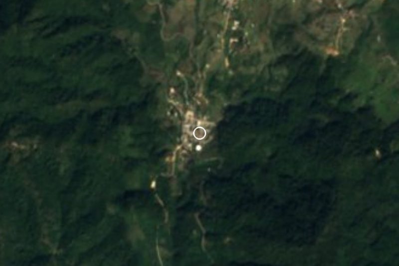
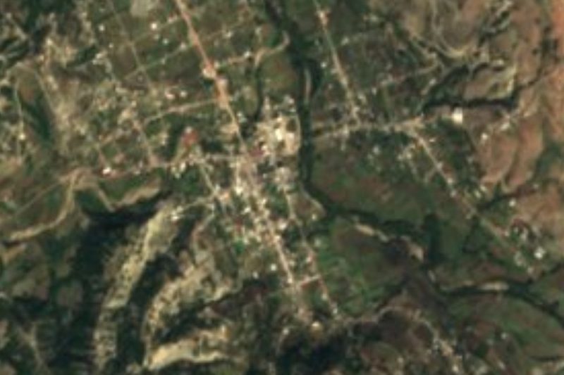


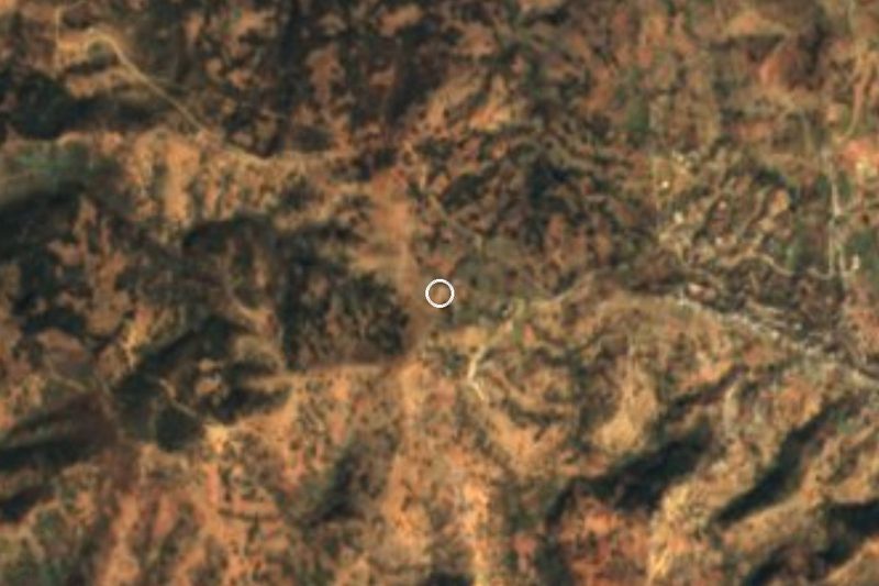


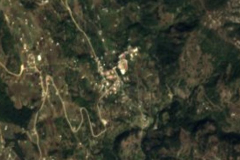

Drive times by road from OpenStreetMap, without traffic. Times marked ~ are estimated from the straight-line distance.
Location from OpenStreetMap. Written by Puebloteca.