Town Silacayoápam, Oaxaca Mixteca of Oaxaca
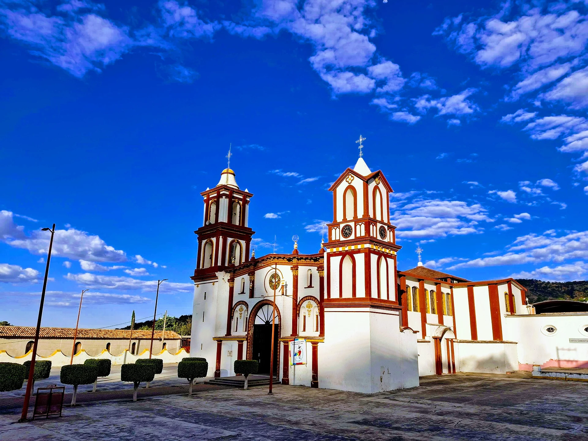
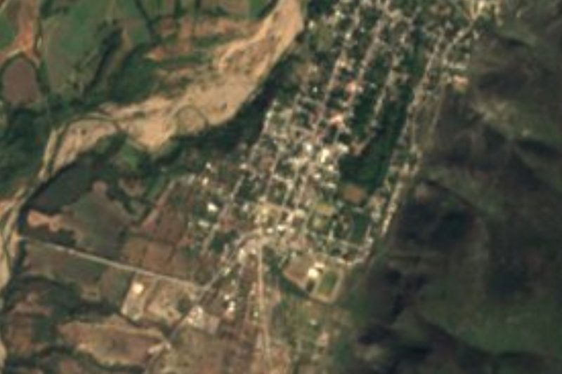
Mixtec district seat at 1,650 m, with the San Pedro parish church, a villa since 1692 and about two hours by road from Huajuapan.
From Tlapa: 1 h 45 min by car (90 km by road) How to get there ↓
Near here
See everything nearby ↓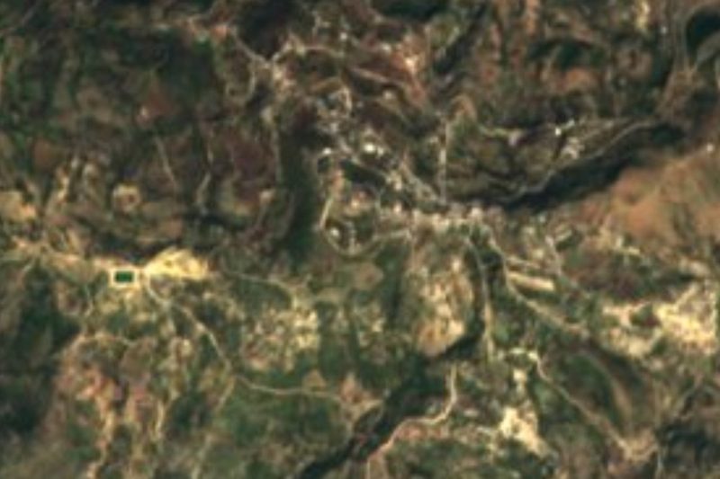



Plan your visit to Silacayoápam
Where to stay near Silacayoápam
Compare hotels, posadas and guest houses in Silacayoápam.
Tours to Silacayoápam
Day trips around Teposcolula sometimes stop in Silacayoápam; a tour is the easy way to see it without a car.
How to get to Silacayoápam
- From Tlapa: about 1 h 45 min by road (~90 km)
- Nearest airport: Oaxaca (OAX), 1 h 45 min by car to Teposcolula
Links open a partner site. We may earn a commission if you book, at no cost to you.
About Silacayoápam
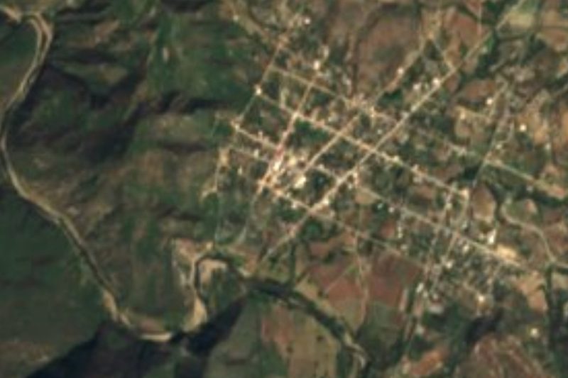
Silacayoápam is the district seat of a part of the Oaxacan Mixteca, in a mountain valley in the northwest of the state at about 1,650 m. The name is Nahuatl and is usually rendered as "river of the chilacayotes" (a type of squash); in Mixtec the town is Ñuunduyu, "place of the chilacayotes". It belonged to the old lordship of Coixtlahuaca and was formally founded in 1692, when it was granted the title of villa. It became a parish and district seat in the mid-1800s, lost the rank of villa in 1891 and was named district seat again in 1901.
The 2020 census counted 2,911 people, the highest figure in its recent history: the population hovered around 2,400 from 1900 to 2000, dipped to 2,090 in 2010, then climbed. Most residents are Mixtec. The climate is temperate highland, averaging about 19 °C a year with summer rains; January is the coldest month and May the warmest.
The municipality lives off the land: corn, beans, some wheat and fruit, plus cattle and poultry. Local crafts include mezcal, brandy, palm and sisal weaving and pottery. Cerro Gordo (2,223 m) and Cerro Colorado (1,944 m) rise above town. On the plaza stands the parish church of San Pedro, with red-and-white towers, which is the first thing visitors photograph. There are a couple of simple hotels and eateries. This is more a regional service town than a hiking destination.
How to get to Silacayoápam
Drive from Tlapa: 1 h 45 min, 90 km
By road the usual approach is from Huajuapan de León: about 100 km (approx. 1 h 40 min by car, per route planners). Huajuapan sits at the junction of federal highways 125 and 190; from Oaxaca city you reach Huajuapan on the 190 (toll road 135D shortens the stretch to Nochixtlán) and continue toward Silacayoápam. Teposcolula is about 69 km as the crow flies, but the real mountain route is a good deal longer.
We found no published timetable for buses or colectivos running directly to Silacayoápam, and no operator advertising them. The safest plan is to take a bus to Huajuapan from Oaxaca or Puebla and ask at the Huajuapan terminal for the combi or pickup that covers the last stretch, or hire a taxi (approx. 1 h 40 min). If you drive, fill up in Huajuapan before setting out. There is mobile signal in town (about 80% of homes have a mobile phone).
Directions to Silacayoápam on Google Maps
Distances are in a straight line; the road is usually longer.
Links open a partner site. We may earn a commission if you book, at no cost to you.
From the nearest cities to Silacayoápam
- Tlapa · 90 km by road, 1 h 45 min
- Huajuapan de León · 102 km by road, 1 h 50 min
- Chilpancingo · about 185 km by road, ~2 h 45 min
Drive times by road from OpenStreetMap, without traffic or stops. Times marked ~ are estimated from the straight-line distance.
Before you go to Silacayoápam: hours, prices and tips
- Best season
- Rainy season is summer; January is the coldest month and May the warmest. Pueblos de América (INEGI data) · checked Oct 2026
Hours and prices change, especially around holidays. Each fact links to where we checked it.
Visiting Silacayoápam: what to see and do
Visit the red-and-white San Pedro parish church by the plaza.
Walk the centre and see daily life in a Mixtec district seat.
Ask for local mezcal and palm or sisal crafts.
Look up at Cerro Gordo (2,223 m) and Cerro Colorado.
Eat at the plaza comedores before moving on.
Plan your trip
Places to stay in Silacayoápam
Compare hotels, posadas, and rentals in and around Silacayoápam.
Tours & activities
Day trips around Teposcolula sometimes stop in Silacayoápam; a tour is the easy way to see it without a car.
Rental cars
Pick up a car at OAX (Oaxaca): about 1 h 45 min by road to Teposcolula, then 69 km more to Silacayoápam, on your own schedule.
Flights
The nearest airport with scheduled flights is Oaxaca (OAX), about 1 h 45 min by road from Teposcolula, the base for Silacayoápam.
Mobile data
Signal can drop away from Teposcolula: download a map of the way to Silacayoápam before you set out, or carry an eSIM with data.
Links open a partner site. We may earn a commission if you book, at no cost to you.
When to go to Silacayoápam cool
Silacayoápam shares the climate of Teposcolula, 69 km away. The best months to visit are January, February, March, and December.
See the month-by-month climate of Teposcolula
Weather in Silacayoápam now and the next 7 days
Live forecast from Open-Meteo. Chance of rain is the day's highest.
The closest Pueblo Mágico: Teposcolula

Teposcolula is the Pueblo Mágico closest to Silacayoápam, with places to stay, food, and more to see.
Closest to Silacayoápam
-
Ixpantepec Nieves · Town · 11 km away
-
San Agustín Atenango · Town · 18 km away
-
San Martín Peras · Town · 19 km away
-
San Sebastián Tecomaxtlahuaca · Town · 21 km away
-
Santo Domingo Tonalá · Town · 27 km away
-
Yucuquimi de Ocampo · Town · 29 km away
-
Santa Catarina Yutandú · Town · 36 km away
-
La Colmena · Village · 39 km away

Near Silacayoápam







Drive times by road from OpenStreetMap, without traffic. Times marked ~ are estimated from the straight-line distance.
Location from OpenStreetMap. Written by Puebloteca.