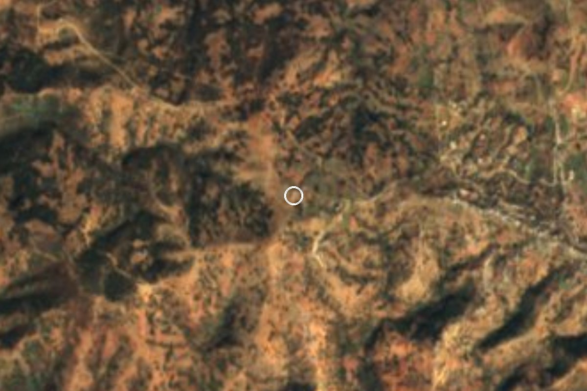
Village San Simón Zahuatlán, Oaxaca Mixteca of Oaxaca
Mixtec community at about 1,880 m beside San Simón Zahuatlán's municipal seat: 379 people in 2020, 82% of them speakers of an indigenous language.
From Huajuapan de León: 1 h by car (45 km by road) How to get there ↓
Near here
See everything nearby ↓
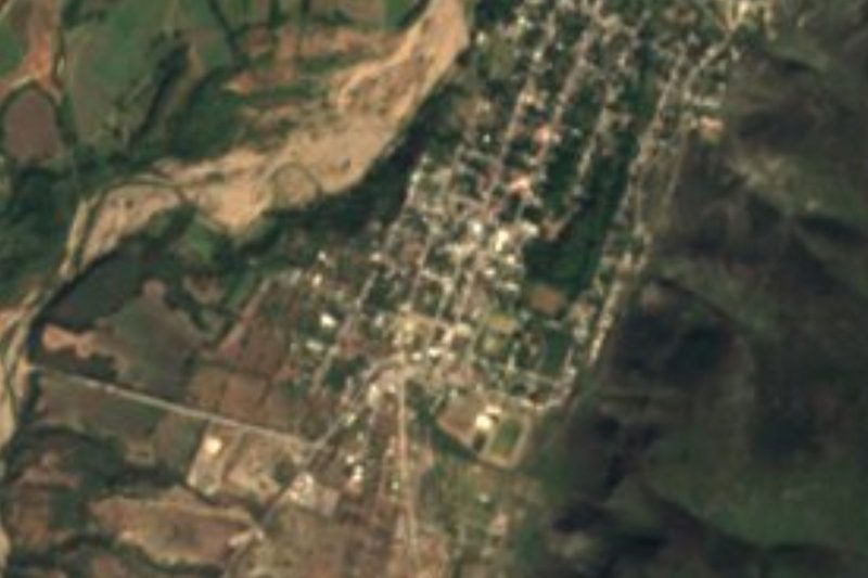


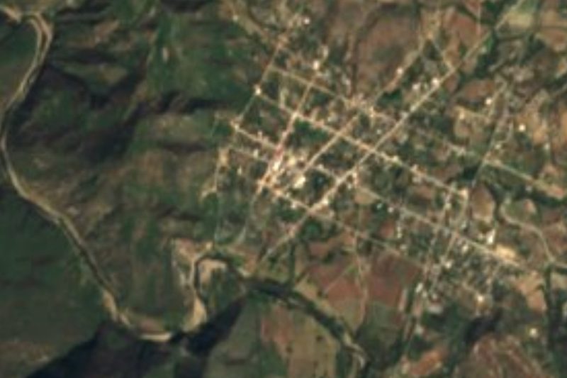

Plan your visit to La Colmena
Where to stay near La Colmena
Compare hotels, posadas and guest houses in La Colmena.
Tours to La Colmena
Day trips and guided outings from Teposcolula often include La Colmena; with a local guide you can get there without a car.
How to get to La Colmena
- From Huajuapan de León: about 1 h by road (~45 km)
- Nearest airport: Oaxaca (OAX), 1 h 45 min by car to Teposcolula
Links open a partner site. We may earn a commission if you book, at no cost to you.
About La Colmena
La Colmena sits at about 1,880 m in the northern Mixteca of Oaxaca, just over a kilometre from the town of San Simón Zahuatlán, the seat and largest locality of the municipality of the same name. It is the fifth largest of the municipality's 12 localities. It had 73 residents in 2005, 254 in 2010 and 379 in the 2020 census (185 women and 194 men), living in about 40 homes.
The community is almost entirely indigenous: in 2020 every resident was counted as indigenous and about 82% spoke an indigenous language, here Mixtec (tu'un savi); around 14% spoke only that language and no Spanish. Nearly all homes have electricity and piped water (97.5%) and roughly three in four have a mobile phone, but none had home internet. Download maps beforehand and tell people when you are coming if you plan to look someone up.
Other hamlets lie within two kilometres: Barrio Juquilita, Guadalupe Sabino, Tierra Colorada and Cinco de Mayo, so La Colmena is one part of a cluster of neighbourhoods rather than an isolated village. The climate is cool and fairly dry, about 18 °C on average with some 700 mm of rain a year.
The municipality is known for its poverty and for two handcrafts: sewing rubber balls and weaving palm hats, both paid very little. Corn and groceries come largely from Huajuapan de León. No hotels or restaurants are listed in the village: this is a place to visit with respect, asking before photographing people.
How to get to La Colmena
Drive from Huajuapan de León: 1 h, 45 km
La Colmena is just over a kilometre from San Simón Zahuatlán, so you reach the municipal seat first, in the Huajuapan district of the northern Mixteca. Huajuapan de León is the supply town for the area and the logical starting point; the last stretch is on rural roads and its duration depends on their condition, so allow several hours and ask in Huajuapan about local transport. We found no published timetable and no bus or colectivo line that runs straight to La Colmena; if one exists it leaves from Huajuapan and must be confirmed there. By car, carry enough fuel and download offline maps: most homes have a mobile phone, but there is no home internet. From the seat, La Colmena is about 1.2 km on foot or by car. From Mexico City the practical plan is to get to Huajuapan de León first and continue from there.
Directions to La Colmena on Google Maps
Distances are in a straight line; the road is usually longer.
Links open a partner site. We may earn a commission if you book, at no cost to you.
From the nearest cities to La Colmena
- Huajuapan de León · 45 km by road, 1 h
- Atlixco · about 165 km by road, ~2 h 25 min
- Puebla · about 175 km by road, ~2 h 35 min
Drive times by road from OpenStreetMap, without traffic or stops. Times marked ~ are estimated from the straight-line distance.
Visiting La Colmena: what to see and do
Walk between La Colmena and the neighbouring hamlets (Juquilita, Guadalupe Sabino, Tierra Colorada), all within two kilometres.
Listen to Mixtec in the street and at the shop.
Ask about hand-woven palm hats and hand-sewn rubber balls.
Take in the high Mixteca landscape at about 1,880 m, with cool weather.
Continue to San Simón Zahuatlán, the municipal seat, just over a kilometre away.
Plan your trip
Places to stay in La Colmena
Compare hotels, posadas, and rentals in and around La Colmena.
Tours & activities
Day trips and guided outings from Teposcolula often include La Colmena; with a local guide you can get there without a car.
Rental cars
Pick up a car at OAX (Oaxaca): about 1 h 45 min by road to Teposcolula, then 66 km more to La Colmena, on your own schedule.
Flights
The nearest airport with scheduled flights is Oaxaca (OAX), about 1 h 45 min by road from Teposcolula, the base for La Colmena.
Mobile data
Signal can drop away from Teposcolula: download a map of the way to La Colmena before you set out, or carry an eSIM with data.
Links open a partner site. We may earn a commission if you book, at no cost to you.
When to go to La Colmena cool
La Colmena shares the climate of Teposcolula, 66 km away. The best months to visit are January, February, March, and December.
See the month-by-month climate of Teposcolula
Weather in La Colmena now and the next 7 days
Live forecast from Open-Meteo. Chance of rain is the day's highest.
The closest Pueblo Mágico: Teposcolula

Teposcolula is the Pueblo Mágico closest to La Colmena, with places to stay, food, and more to see.
Closest to La Colmena
-
San José Ayuquila · Town · 13 km away
-
Santo Domingo Tonalá · Town · 18 km away
-
San Marcos Arteaga · Town · 21 km away
-
Chila · Village · 23 km away
-
San Agustín Atenango · Town · 24 km away
-
Cerro de las Minas · Archaeological site · 26 km away
-
Texcalapa de Juárez · Village · 26 km away
-
El Rosario Micaltepec · Village · 30 km away
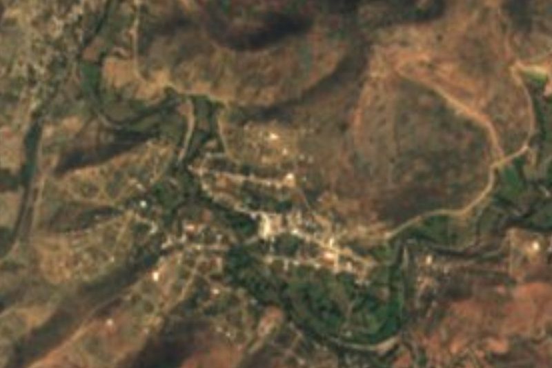

Near La Colmena
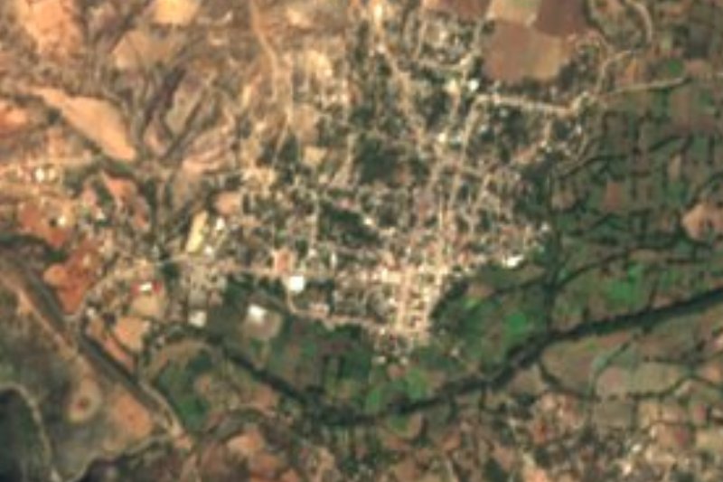


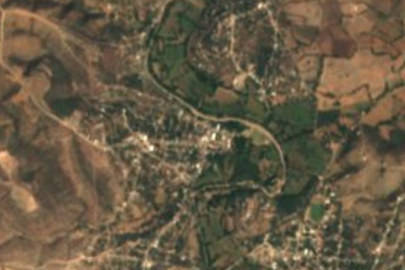

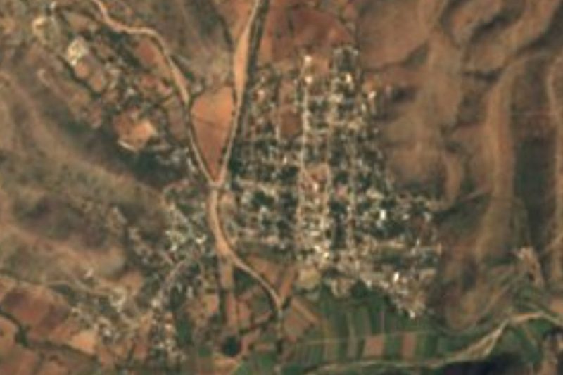
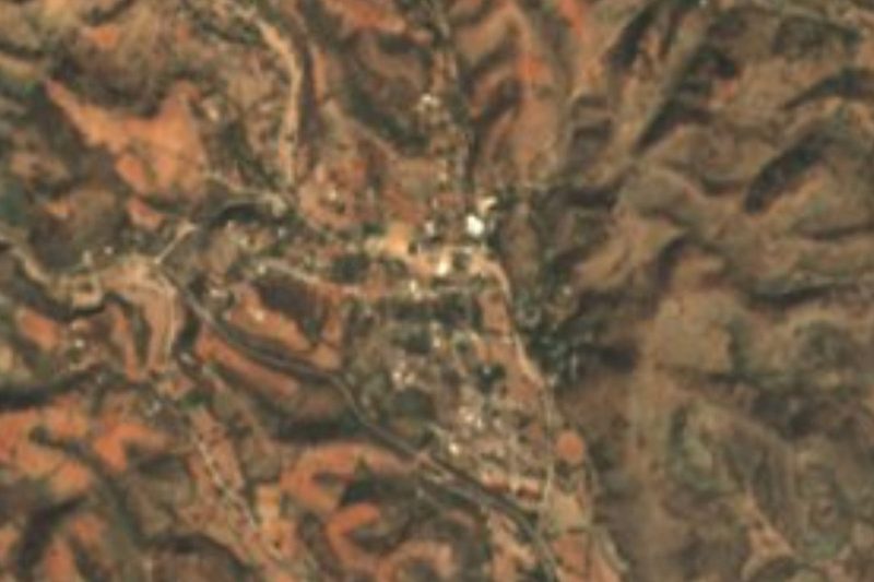

Drive times by road from OpenStreetMap, without traffic. Times marked ~ are estimated from the straight-line distance.
Location from OpenStreetMap. Written by Puebloteca.