Village Chila, Puebla Mixteca Poblana
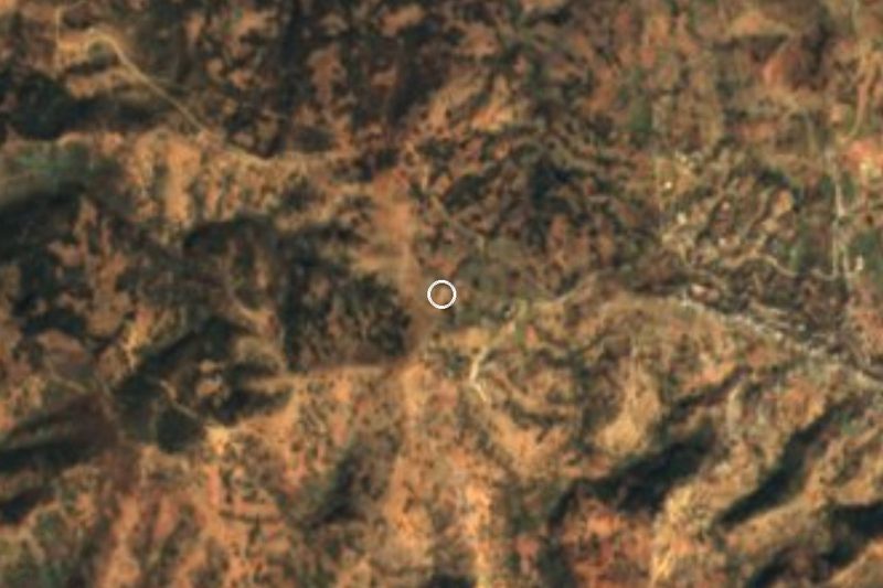
Chila de las Flores, a Mixteca seat on the Oaxaca line with a Dominican convent, tiled towers and palm hats, on the road to Huajuapan.
From Huajuapan de León: 25 min by car (26 km by road) How to get there ↓
Near here
See everything nearby ↓



Plan your visit to Chila
Where to stay near Chila
Compare hotels, posadas and guest houses in Chila.
Tours to Chila
Day trips and guided outings from Teposcolula often include Chila; with a local guide you can get there without a car.
How to get to Chila
- From Huajuapan de León: about 25 min by road (~26 km)
- Nearest airport: Oaxaca (OAX), 1 h 45 min by car to Teposcolula
Links open a partner site. We may earn a commission if you book, at no cost to you.
About Chila
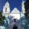
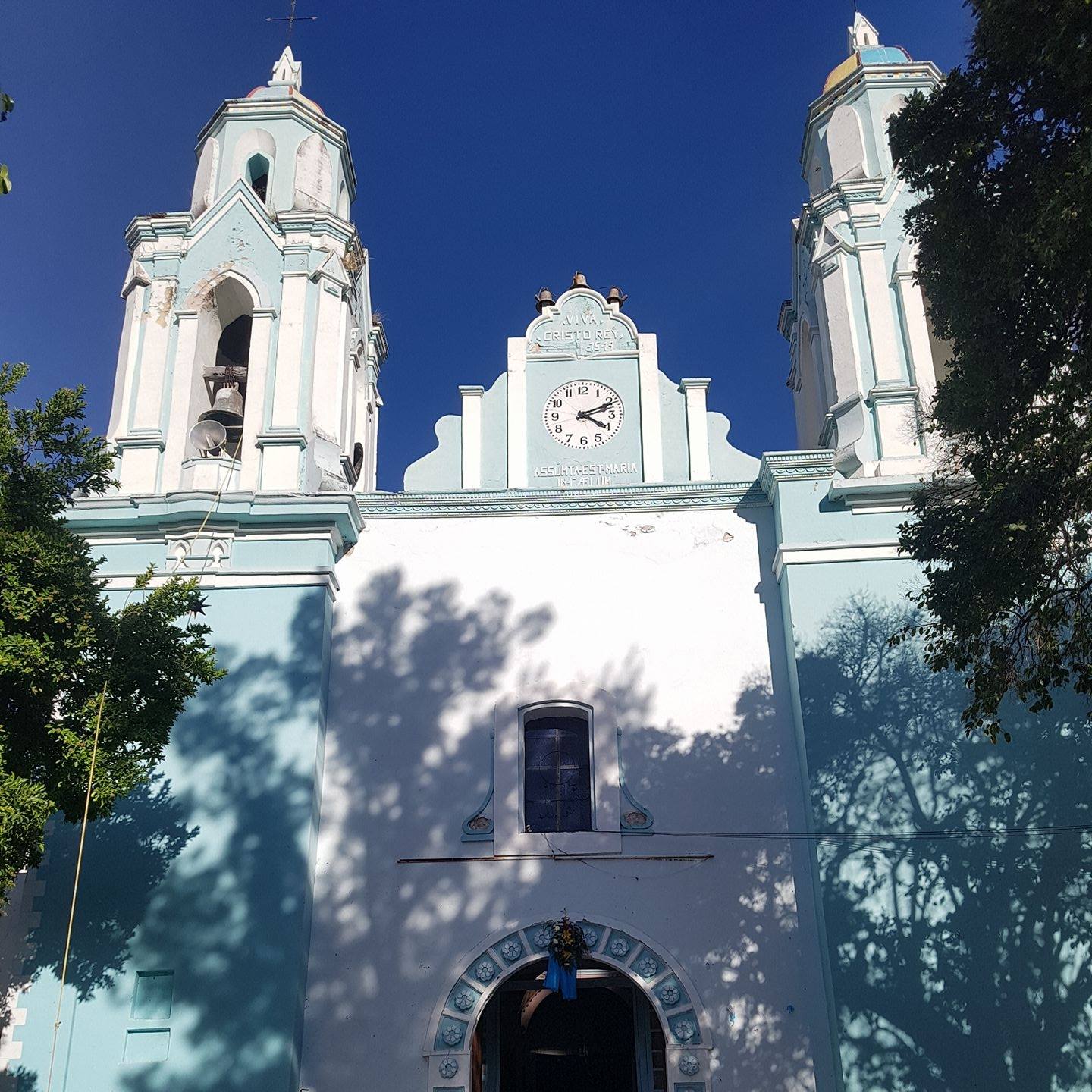
Between the two tile-capped towers of Chila's church, a public clock has kept time since it was blessed on 14 August 1951; it was a gift from local resident Gilberto Amador. The church, dedicated to the Assumption, stands against the thick walls of the convent built by the Dominicans, and the town grew up around that foundation. Locally it is known as Chila de las Flores, and it is the seat of a 128 km² municipality at the far southern tip of Puebla, deep in the Mixteca, which borders Oaxaca to the south and southeast: Huajuapan de León, Zapotitlán Palmas, Santiago Ayuquililla and San José Ayuquila. Petlalcingo lies to the north and San Miguel Ixitlán to the east.
The name has several readings. One derives it from Nahuatl cili, little snail, plus tlan, abundance: "where small snails abound"; another renders it as "place of chile". In Mixtec it is called Toavui, which the scholar Maarten Jansen interpreted as "river of shamans" or "river of the seated lord". The town sits at 1,624 metres and had 2,064 residents in 2020; the municipality rises from 1,400 to 2,100 metres, with a semi-warm climate averaging 19 to 21 °C and 700 to 900 mm of summer rain. Its streams, one of them called the Chila, run only in season and drain toward the Acatlán and Mixteco rivers, in the Atoyac basin.
Palm weaving is a household trade: people make campechano hats, chiquigüite baskets, harvest baskets, tenates and fire fans, and huaraches are woven from cane. Chila's cooking is among the most varied in the Puebla Mixteca: green mole and mole de olla, huachimole, adobo, chilate, ditazatos, bean memelas, pellizcadas, shrimp with nopales, goat barbacoa and tamales of mole, sweet and fresh corn; for dessert, chilacayote squash, jamoncillo, palanquetas, torrejas and pumpkin empanadas, and locally made chocolate. There are songs and mañanitas by local authors, music written for the Moros dance and a traditional band called Jazmín.
How to get to Chila
Drive from Huajuapan de León: 25 min, 26 km
Chila lies on federal highway 190, on the Acatlán–Huajuapan stretch, about 124 km in a straight line from Puebla city, 74 km from Tehuacán and 64 km from Teposcolula. Línea Sur and Oro buses run this corridor between Puebla, Acatlán de Osorio and Huajuapan de León; CAPU to Acatlán takes about three hours, and from Acatlán you continue south on the 190 past Petlalcingo.
Directions to Chila on Google Maps
Distances are in a straight line; the road is usually longer.
Links open a partner site. We may earn a commission if you book, at no cost to you.
From the nearest cities to Chila
- Huajuapan de León · 26 km by road, 25 min
- Tlapa · about 115 km by road, ~1 h 45 min
- Tehuacán · 119 km by road, 2 h 5 min
Drive times by road from OpenStreetMap, without traffic or stops. Times marked ~ are estimated from the straight-line distance.
Visiting Chila: what to see and do
The Church of the Assumption, with tiled towers and the 1951 clock, and the adjoining Dominican convent.
Palm hats and baskets woven at home.
The Moros dance and a cuisine of green mole and huachimole.
Plan your trip
Places to stay in Chila
Compare hotels, posadas, and rentals in and around Chila.
Tours & activities
Day trips and guided outings from Teposcolula often include Chila; with a local guide you can get there without a car.
Rental cars
Pick up a car at OAX (Oaxaca): about 1 h 45 min by road to Teposcolula, then 64 km more to Chila, on your own schedule.
Flights
The nearest airport with scheduled flights is Oaxaca (OAX), about 1 h 45 min by road from Teposcolula, the base for Chila.
Mobile data
Signal can drop away from Teposcolula: download a map of the way to Chila before you set out, or carry an eSIM with data.
Links open a partner site. We may earn a commission if you book, at no cost to you.
When to go to Chila cool
Chila shares the climate of Teposcolula, 64 km away. The best months to visit are January, February, March, and December.
See the month-by-month climate of Teposcolula
Weather in Chila now and the next 7 days
Live forecast from Open-Meteo. Chance of rain is the day's highest.
The closest Pueblo Mágico: Teposcolula

Teposcolula is the Pueblo Mágico closest to Chila, with places to stay, food, and more to see.
Closest to Chila
-
El Rosario Micaltepec · Village · 8 km away
-
San José Ayuquila · Town · 12 km away
-
Petlalcingo · Village · 14 km away
-
Texcalapa de Juárez · Village · 17 km away
-
Cerro de las Minas · Archaeological site · 19 km away
-
Santiago Huajolotitlán · Town · 21 km away
-
La Colmena · Village · 23 km away
-
San Jerónimo Xayacatlán · Village · 28 km away
Near Chila





Drive times by road from OpenStreetMap, without traffic. Times marked ~ are estimated from the straight-line distance.
Location from OpenStreetMap. Written by Puebloteca.