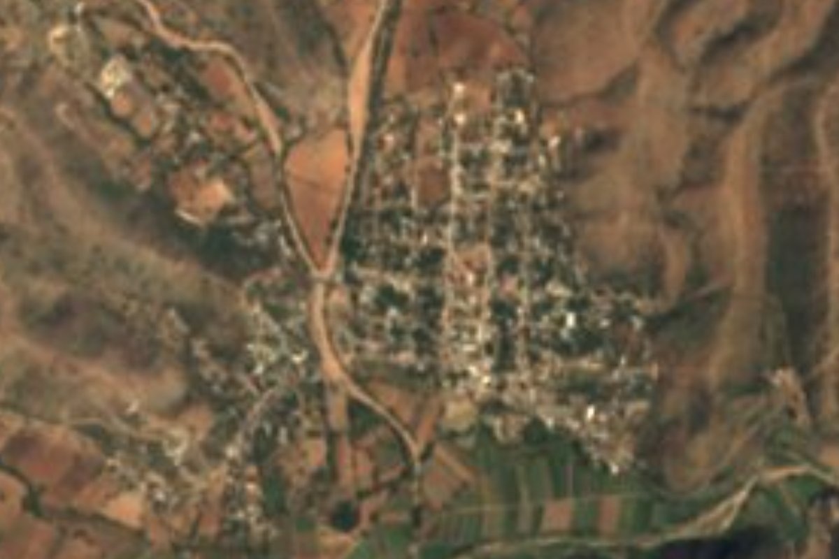
Village Acatlán, Puebla Municipality of Acatlán Mixteca Poblana
A village "ringed by amate trees" 4 km from Acatlán de Osorio in the warm Mixteca; its surname honours José Azueta, defender of Veracruz in 1914.
From Huajuapan de León: 1 h 5 min by car (68 km by road) How to get there ↓
Near here
See everything nearby ↓


Plan your visit to Amatitlán de Azueta
Where to stay near Amatitlán de Azueta
Compare hotels, posadas and guest houses in Amatitlán de Azueta.
Tours to Amatitlán de Azueta
Day trips and guided outings from Atlixco often include Amatitlán de Azueta; with a local guide you can get there without a car.
 Tours from Atlixco
Atlixco Volcano Views Popocatépetl Tour Forest Route
From US$108
How to get to Amatitlán de Azueta
- From Huajuapan de León: about 1 h 5 min by road (~68 km)
- Nearest airport: Puebla (PBC), 41 min by car to Atlixco
Links open a partner site. We may earn a commission if you book, at no cost to you.
Tours from Atlixco, near Amatitlán de Azueta
Tours, prices and ratings from Viator, checked weekly. We may earn a commission if you book.
About Amatitlán de Azueta
Two layers of history fit into this name. Amatitlán comes from Nahuatl amatl, the amate tree, and titlan, among: "place ringed by amate trees". The addition of Azueta recalls José Azueta, one of the heroes of the defence of the port of Veracruz against the US landing of 1914. The village had 1,734 people in 2020 and lies at 1,155 m, just 4 km in a straight line from Acatlán de Osorio, the municipal seat, so it works almost as its next-door neighbour; Puebla city is about 97 km away in a straight line and Tehuacán 79.
Acatlán, "the Pearl of the Mixteca", covers volcanic ranges and ravines between 900 and 1,600 m, split into two parts, one of them against Oaxaca. The climate is hot: averages of 18 to 26 °C and 700 to 900 mm of summer rain, and over half the land is still covered in tropical forest. The Acatlán, El Chivo and Mixteco rivers flow all year. In the Classic period the area was a centre of the Ñuiñe culture, known for its small colossal-style ceramic heads, and there are archaeological remains at El Zapote, where the first Acatlán stood; an earthquake destroyed it in 1711 and the present town was founded the following year. In 1813 Morelos, Matamoros, Galeana, Guerrero and Guadalupe Victoria passed through.
The seat's festive calendar is long: San Gabriel on 24 March, the Holy Cross on 3 May, San Juan Bautista on 24 June, the Virgen de las Nieves on 5 August, San Rafael on 24 October with tecuani dances, the Day of the Dead with a fair at the cemetery, and above all the Holy Week fair, with horse races. Pottery is still made, along with palm hats. On the table: mole poblano, tamales, corn on the cob and chilate with tempesquistle; for sweets, palanqueta and jamoncillo; to drink, aguardiente, also mixed with jobo fruit. A sundial carved in marble graces central Acatlán.
How to get to Amatitlán de Azueta
Drive from Huajuapan de León: 1 h 5 min, 68 km
Autobuses Oro runs from Puebla's CAPU to Acatlán de Osorio, departing roughly every three hours, with a trip of about 3 hours over some 155 km of road (timetables at autobusesoro.com.mx). From Acatlán, Amatitlán de Azueta is only 4 km in a straight line: a short ride by taxi or local transport.
Directions to Amatitlán de Azueta on Google Maps
Distances are in a straight line; the road is usually longer.
Links open a partner site. We may earn a commission if you book, at no cost to you.
From the nearest cities to Amatitlán de Azueta
- Huajuapan de León · 68 km by road, 1 h 5 min
- Atlixco · 116 km by road, 1 h 50 min
- Puebla · about 125 km by road, ~1 h 50 min
Drive times by road from OpenStreetMap, without traffic or stops. Times marked ~ are estimated from the straight-line distance.
Visiting Amatitlán de Azueta: what to see and do
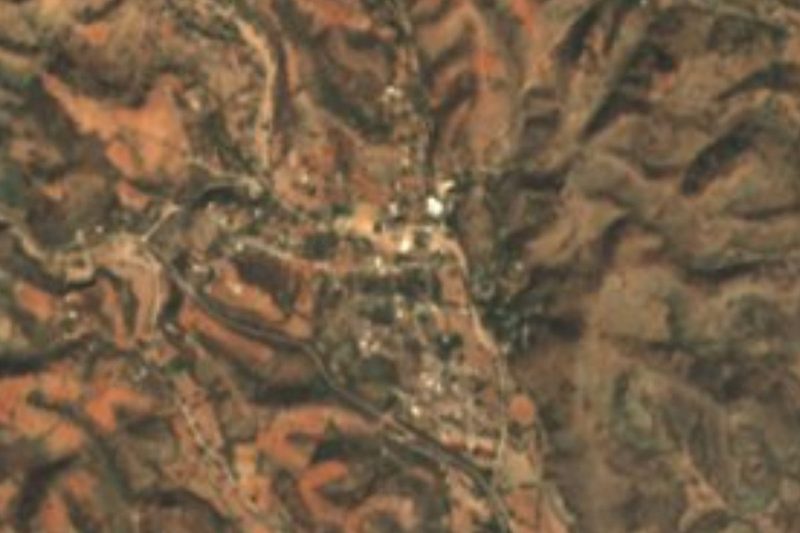
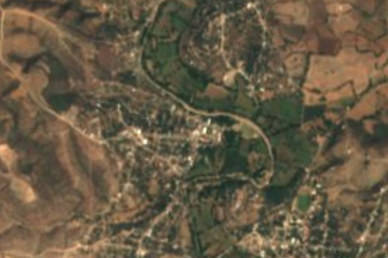
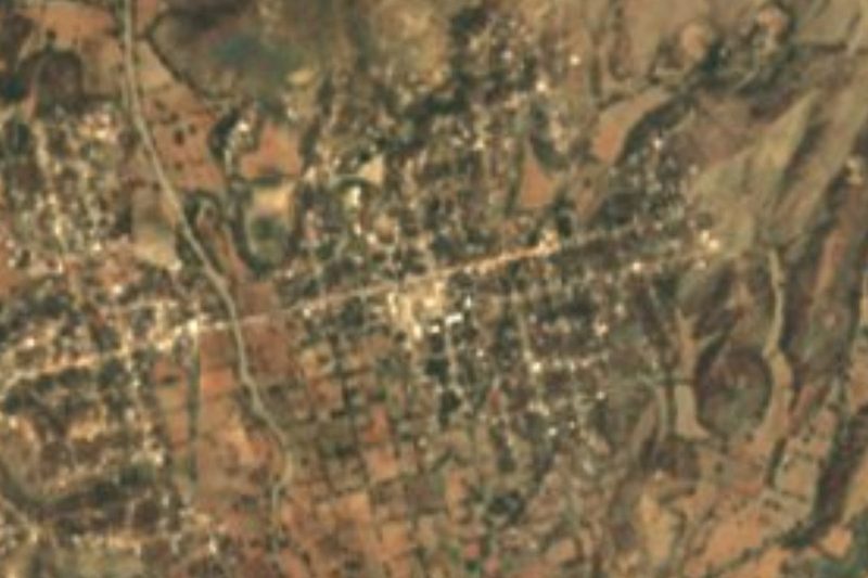
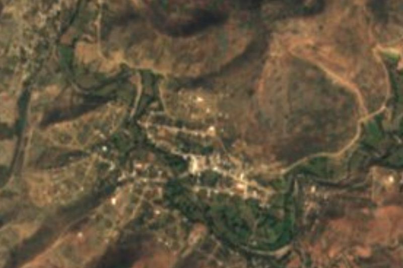
The streets of Amatitlán de Azueta, in hot lowland country.
In Acatlán de Osorio: the marble sundial and the Holy Week fair with horse races.
The archaeological area of El Zapote, the first Acatlán.
The tecuani dances for San Rafael, on 24 October.
Plan your trip
Places to stay in Amatitlán de Azueta
Compare hotels, posadas, and rentals in and around Amatitlán de Azueta.
Tours & activities
Day trips and guided outings from Atlixco often include Amatitlán de Azueta; with a local guide you can get there without a car.
Rental cars
Pick up a car at PBC (Puebla): about 41 min by road to Atlixco, then 90 km more to Amatitlán de Azueta, on your own schedule.
Flights
The nearest airport with scheduled flights is Puebla (PBC), about 41 min by road from Atlixco, the base for Amatitlán de Azueta.
Mobile data
Signal can drop away from Atlixco: download a map of the way to Amatitlán de Azueta before you set out, or carry an eSIM with data.
Links open a partner site. We may earn a commission if you book, at no cost to you.
When to go to Amatitlán de Azueta mild
Amatitlán de Azueta shares the climate of Atlixco, 90 km away. The best months to visit are January, February, March, and December.
See the month-by-month climate of Atlixco
Weather in Amatitlán de Azueta now and the next 7 days
Live forecast from Open-Meteo. Chance of rain is the day's highest.
The closest Pueblo Mágico: Atlixco

Atlixco is the Pueblo Mágico closest to Amatitlán de Azueta, with places to stay, food, and more to see.
Closest to Amatitlán de Azueta
-
Acatlán de Osorio · Town · 4 km away
-
San Bernardo · Village · 5 km away
-
San Pablo Anicano · Village · 6 km away
-
San Pedro Yeloixtlahuaca · Village · 7 km away
-
San Vicente Boquerón · Village · 12 km away
-
Xayacatlán de Bravo · Village · 13 km away
-
Texcalapa de Juárez · Village · 15 km away
-
Ahuehuetitla · Village · 16 km away

Near Amatitlán de Azueta
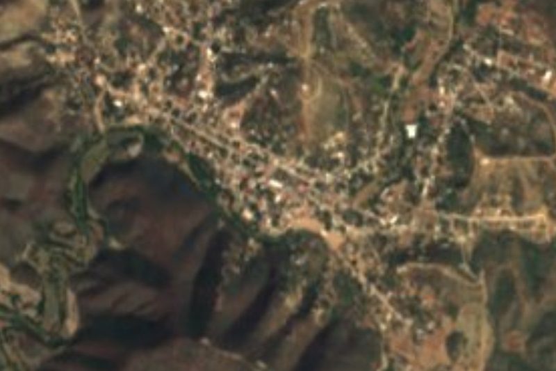

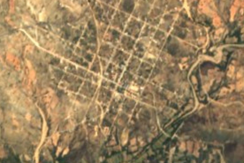


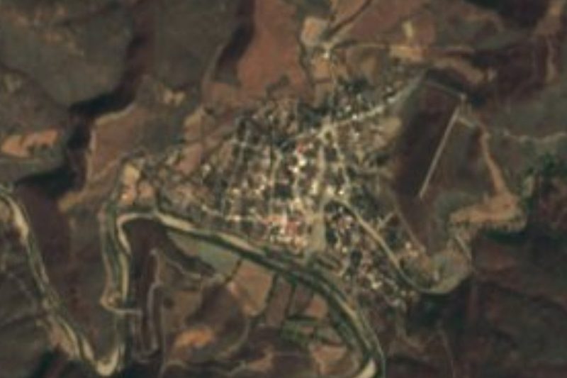
Drive times by road from OpenStreetMap, without traffic. Times marked ~ are estimated from the straight-line distance.
Location from OpenStreetMap. Written by Puebloteca.