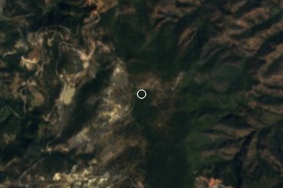
Nature reserve Chilapa de Álvarez, Guerrero Municipality of Chilapa de Álvarez Central Guerrero
A 528-hectare pine and oak forest at El Ocotal, east of Chilapa, protected since 1964 and now looked after by volunteer farmer patrols.
From Chilpancingo: about 50 min by road (~60 km) How to get there ↓
Near here
See everything nearby ↓


Plan your visit to Parque nacional General Juan N. Álvarez
Where to stay near Parque nacional General Juan N. Álvarez
Compare hotels, posadas and guest houses in Parque nacional General Juan N. Álvarez.
Tours to Parque nacional General Juan N. Álvarez
Day trips and guided outings from Guerrero often include Parque nacional General Juan N. Álvarez; with a local guide you can get there without a car.
How to get to Parque nacional General Juan N. Álvarez
- From Chilpancingo: about 50 min by road (~60 km)
Links open a partner site. We may earn a commission if you book, at no cost to you.
About Parque nacional General Juan N. Álvarez
General Juan N. Álvarez National Park covers 528 hectares of forest at El Ocotal, a group of Sierra Madre del Sur hills rising to about 2,500 m east of the city of Chilapa. The land is split between the municipalities of Chilapa and Atlixtac, right where Guerrero's central region meets La Montaña. President Adolfo López Mateos declared it in May 1964 as an emergency step against soil erosion. Ownership stayed with the ejido farmers, who have not been allowed to take anything out of the forest since.
The ground runs from gentle hills to steep slopes and ravines whose runoff feeds tributaries of the Atzacualoya river, which drains into the Mezcala and on into the Balsas basin. The climate is temperate and fairly humid, with rain from May to September. Slender pines and oaks dominate, some of them planted during reforestation, with grassland lower down and orchids that are in serious danger. Bobcat, coyote, skunk, opossum, rabbit, raccoon, fox, tigrillo (a small wild cat), badger and ringtail have been recorded, and residents also report deer, birds of prey, pumas and a local lizard they call the endemic chameleon. Many surrounding villages get their water from this forest.
After the decree the park had no budget, and loggers moved in. In 2015 Mexico's protected-areas commission sent a biologist to Chilapa to organise the communities, and since 2020 two groups of farmers from Xulchuchio, Los Camaleones and Las Guardianas, have patrolled it unarmed and without regular pay, replanting trees, maintaining the forest and fighting fires. The most stubborn threat is the cutting of ocote, resin-rich pine kindling that ends up at the Chilapa market; the families still living from it have fallen from about a hundred to around ten.
We found no official opening hours, entry fee or marked trails. The main entrance is at a spot called Las Antenas on the Chilapa-Tlapa road. Since this is ejido land watched over by the community, it is best to go with someone local.
How to get to Parque nacional General Juan N. Álvarez
From Chilpancingo take federal highway 93 east through Tixtla and Chilapa, then stay on it toward Tlapa for about 18 km more to the spot called Las Antenas, where the main entrance is. All told it is 1 h 10 min and 79 km by road from Chilpancingo. By public transport, buses run from Taxqueña in Mexico City to Chilpancingo, and from there urvans go to Chilapa via Tixtla (the fare was about 80 pesos in 2022). We found no service to the park itself; from Chilapa, carry on by taxi or your own vehicle. The US government rates Guerrero Do Not Travel: go in daylight and ask in Chilapa about the road.
Directions to Parque nacional General Juan N. Álvarez on Google Maps
Distances are in a straight line; the road is usually longer.
Links open a partner site. We may earn a commission if you book, at no cost to you.
From the nearest cities to Parque nacional General Juan N. Álvarez
- Chilpancingo · about 60 km by road, ~50 min
- Tlapa · about 70 km by road, ~1 h
- Iguala · about 125 km by road, ~1 h 50 min
Drive times by road from OpenStreetMap, without traffic or stops. Times marked ~ are estimated from the straight-line distance.
Before you go to Parque nacional General Juan N. Álvarez: hours, prices and tips
- Best season
- Rain from May to September; the rest of the year is the dry season. Wikipedia · checked Oct 2026
- Rules
- This is ejido land inside a national park: taking wood, ocote kindling or plants from the forest is not allowed. El Universal · checked Oct 2026
Hours and prices change, especially around holidays. Each fact links to where we checked it.
Visiting Parque nacional General Juan N. Álvarez: what to see and do
The pine and oak forest of El Ocotal, with summits of about 2,500 m.
The ravines that drain toward the Atzacualoya river.
The areas replanted by the community patrols.
Birds of prey and, with luck, tracks of coyote, badger or ringtail.
The forest's wild orchids, left where they grow.
Plan your trip
Places to stay in Parque nacional General Juan N. Álvarez
Compare hotels, posadas, and rentals in and around Parque nacional General Juan N. Álvarez.
Tours & activities
Day trips and guided outings from Guerrero often include Parque nacional General Juan N. Álvarez; with a local guide you can get there without a car.
Travel insurance
If you plan on hiking at Parque nacional General Juan N. Álvarez, check that your policy covers it: some plans leave adventure activities out.
Mobile data
Signal can drop away from Guerrero: download a map of the way to Parque nacional General Juan N. Álvarez before you set out, or carry an eSIM with data.
Links open a partner site. We may earn a commission if you book, at no cost to you.
Closest to Parque nacional General Juan N. Álvarez
-
Chilapa de Álvarez · City · 10 km away
-
Concatedral de Chilapa · Landmark · 10 km away
-
Cueva de Oxtotitlán · Cave · 10 km away
-
Grutas de Juxtlahuaca · Cave · 20 km away
-
Teopantecuanitlán · Archaeological site · 33 km away
-
El Santuario · Landmark · 34 km away
-
Tixtla de Guerrero · Town · 34 km away
-
Olinalá · Town · 41 km away


Near Parque nacional General Juan N. Álvarez




Drive times by road from OpenStreetMap, without traffic. Times marked ~ are estimated from the straight-line distance.
Lists with Parque nacional General Juan N. Álvarez
Nature Parks in Guerrero · 3Location from OpenStreetMap. Written by Puebloteca.