

Archaeological site Copalillo, Guerrero Northern Guerrero
The only Olmec-style city with monumental architecture in Guerrero: a sunken patio guarded by four jaguar-god sculptures, near the Balsas, 3,000 years old.
From Iguala: 1 h 55 min by car (103 km by road) How to get there ↓
Near here
See everything nearby ↓




Plan your visit to Teopantecuanitlán
Where to stay near Teopantecuanitlán
Compare hotels, posadas and guest houses in Teopantecuanitlán.
Tours to Teopantecuanitlán
A guide brings Teopantecuanitlán to life: look for tours from Tlaltizapán that include the site and the ride there.
 Tours from Taxco
Taxco and Cuernavaca Tour from CDMX
★ 4.5 (11) · From US$61
How to get to Teopantecuanitlán
- From Iguala: about 1 h 55 min by road (~103 km)
- Nearest airport: Mexico City (MEX), 1 h 55 min by car to Tlaltizapán
Links open a partner site. We may earn a commission if you book, at no cost to you.
Tours from Taxco, near Teopantecuanitlán


Tours, prices and ratings from Viator, checked weekly. We may earn a commission if you book.
About Teopantecuanitlán
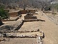
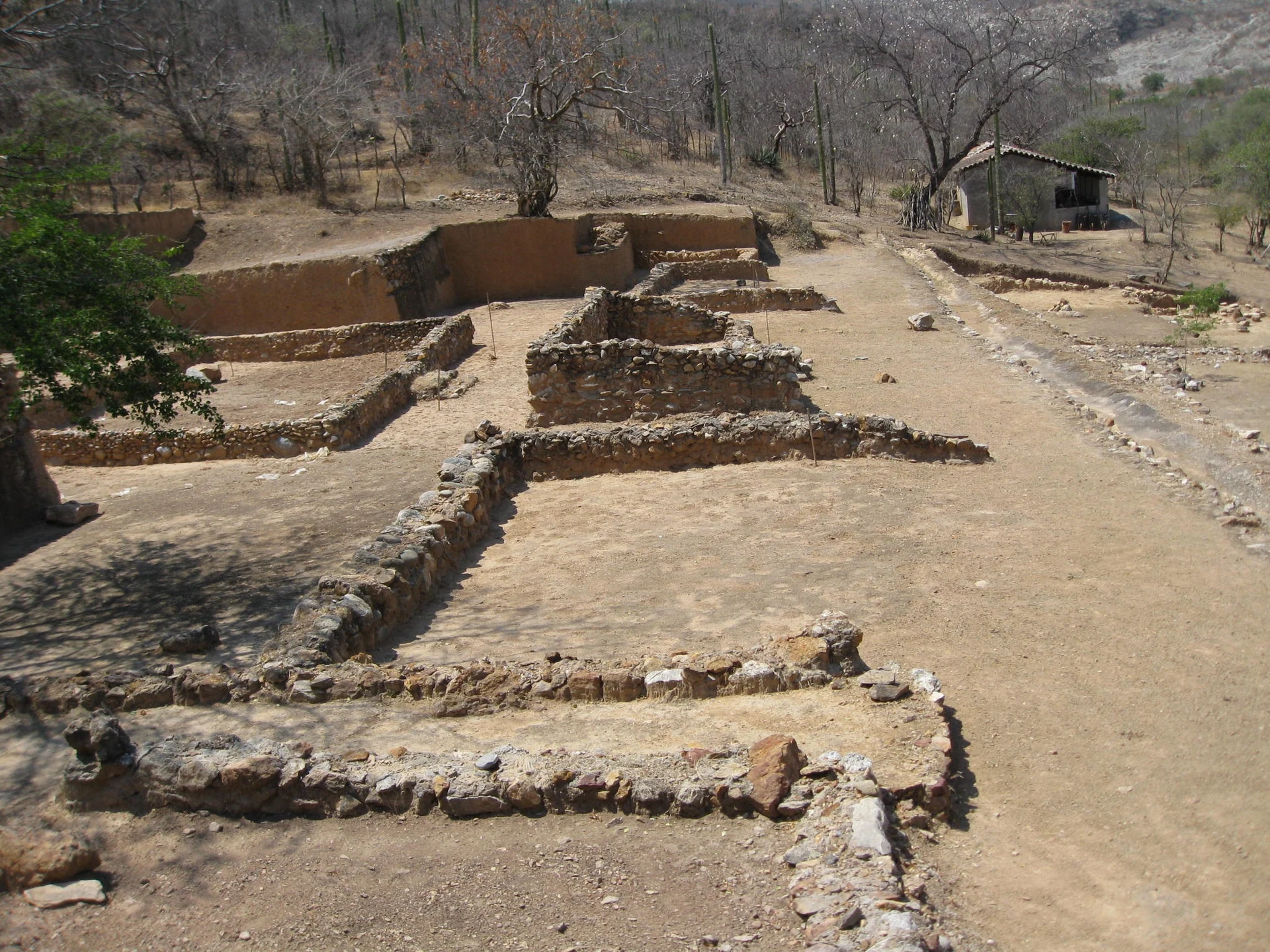
Teopantecuanitlán is an archaeological site in the dry upper Balsas basin in north-eastern Guerrero, north of the village of Tlalcozotitlán in the municipality of Copalillo, about 8 km from where the Amacuzac and Mezcala rivers meet. INAH calls it the only settlement in Guerrero with Olmec-style monumental architecture. It was found in 1983 by archaeologist Guadalupe Martínez Donjuán after reports of looting, and the name, Nahuatl for 'place of the temple of the jaguar gods', was chosen at a meeting of people from the neighbouring villages. The site sits at the foot of a steep hill and spreads over some 160 to 200 hectares.
Radiocarbon dates place its main occupation between about 1400 and 600 BC, in three phases, with a later settlement around AD 750 when its ball court was built. Its centre is El Recinto, a sunken patio about 2 m below the ground, faced with travertine blocks. Four large, almost identical travertine sculptures of feline beings, each weighing 3 to 5 tonnes, stand on its east and west walls; their placement has been linked to the equinoxes and an agricultural calendar, and a sign on the back of one may be among the oldest calendar dates known in Mesoamerica. Archaeologists also found what is described as the oldest known dam in Mesoamerica, from around 1200 BC, stone-lined canals, early corbel vaults, and Olmec-style ceramics, imported shell and obsidian that point to trade between the Gulf Coast and the highlands.
The Nahua villages of the Alto Balsas, Acingo, Tinajas and Tenantitlán, regard Teopantecuanitlán as their most sacred place. At their request, INAH renewed the perimeter fence and installed a new introductory room in December 2024; its labels are written first in Nahuatl, translated by local teachers. Scattered around the plaza north of the sunken patio are more sculptures, including a frog and a small Olmec-style head.
How to get to Teopantecuanitlán
Drive from Iguala: 1 h 55 min, 103 km
INAH's directions: take Highway 95 (Mexico City–Acapulco) and turn east towards Paso Morelos, then continue south through Tuzantlán, Apanguito and Atenango del Río to Copalillo. From Copalillo a dirt road runs about 20 km to Tlalcozotitlán and the site. There is no public transport to the site, and it is a long drive on rural roads; the US government currently advises against all travel to Guerrero state.
Directions to Teopantecuanitlán on Google Maps
Distances are in a straight line; the road is usually longer.
Links open a partner site. We may earn a commission if you book, at no cost to you.
From the nearest cities to Teopantecuanitlán
- Iguala · 103 km by road, 1 h 55 min
- Chilpancingo · 112 km by road, 2 h 10 min
- Cuautla · 152 km by road, 2 h 25 min
Drive times by road from OpenStreetMap, without traffic or stops. Times marked ~ are estimated from the straight-line distance.
Before you go to Teopantecuanitlán: hours, prices and tips
- Hours
- Tuesday to Sunday, 9am to 5pm. Before a long trip, you can confirm with the Centro INAH Guerrero (tel. 747 471 7121). INAH · checked Oct 2026
Hours and prices change, especially around holidays. Each fact links to where we checked it.
Visiting Teopantecuanitlán: what to see and do
Stand above El Recinto, the sunken travertine patio with its small ritual ball court.
See the four jaguar-god sculptures on the patio's east and west walls.
Look for the frog sculpture and the small Olmec-style head on the plaza to the north.
Visit the introductory room, with labels in Nahuatl first.
Take in the setting at the foot of the hill, near where the Amacuzac and Mezcala rivers meet.
Plan your trip
Places to stay in Teopantecuanitlán
Compare hotels, posadas, and rentals in and around Teopantecuanitlán.
Tours & activities
A guide brings Teopantecuanitlán to life: look for tours from Tlaltizapán that include the site and the ride there.
Rental cars
Pick up a car at MEX (Mexico City): about 1 h 55 min by road to Tlaltizapán, then 88 km more to Teopantecuanitlán, on your own schedule.
Flights
The nearest airport with scheduled flights is Mexico City (MEX), about 1 h 55 min by road from Tlaltizapán, the base for Teopantecuanitlán.
Mobile data
Signal can drop away from Tlaltizapán: download a map of the way to Teopantecuanitlán before you set out, or carry an eSIM with data.
Links open a partner site. We may earn a commission if you book, at no cost to you.
Photos
When to go to Teopantecuanitlán warm
Teopantecuanitlán shares the climate of Tlaltizapán, 88 km away. The best months to visit are January, October, November, and December.
See the month-by-month climate of Tlaltizapán
Weather in Teopantecuanitlán now and the next 7 days
Live forecast from Open-Meteo. Chance of rain is the day's highest.
The closest Pueblo Mágico: Tlaltizapán

Tlaltizapán is the Pueblo Mágico closest to Teopantecuanitlán, with places to stay, food, and more to see.
Closest to Teopantecuanitlán
-
Cueva de Oxtotitlán · Cave · 28 km away
-
Chilapa de Álvarez · City · 35 km away
-
Olinalá · Town · 42 km away
-
Ixcamilpa · Village · 46 km away
-
Tixtla de Guerrero · Town · 48 km away
-
El Santuario · Landmark · 49 km away
Near Teopantecuanitlán
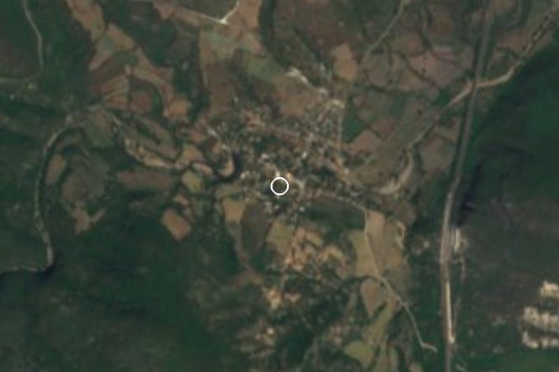







Drive times by road from OpenStreetMap, without traffic. Times marked ~ are estimated from the straight-line distance.
Lists with Teopantecuanitlán
Ruins in Guerrero · 4Location from OpenStreetMap. Written by Puebloteca.