Archaeological site Chilpancingo de los Bravo, Guerrero Municipality of Chilpancingo de los Bravo Central Guerrero
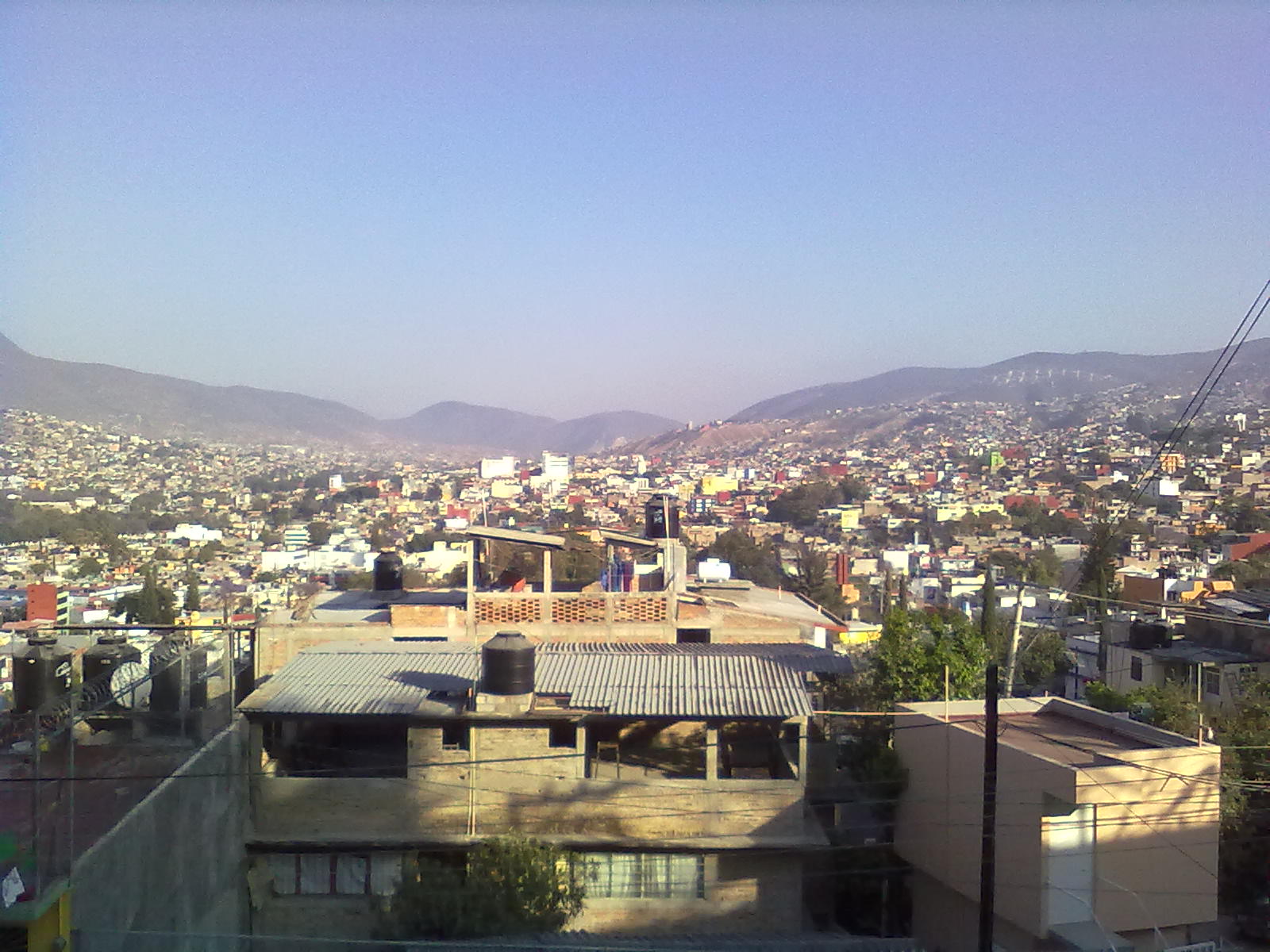
A 12 m pyramid base in Chilpancingo's INDECO district, at its height in AD 800–1100. Fenced off; you view it through the fence.
From Iguala: about 1 h 40 min by road (~115 km) How to get there ↓
Near here
See everything nearby ↓


Plan your visit to Zona arqueológica "Pezuapan"
Where to stay near Zona arqueológica "Pezuapan"
Compare hotels, posadas and guest houses in Zona arqueológica "Pezuapan".
Tours to Zona arqueológica "Pezuapan"
A guide brings Zona arqueológica "Pezuapan" to life: look for tours from Guerrero that include the site and the ride there.
 Tours from Acapulco
Paddle Boarding At Acapulco´s Bay
★ 5.0 (247) · From US$24
How to get to Zona arqueológica "Pezuapan"
- From Iguala: about 1 h 40 min by road (~115 km)
Links open a partner site. We may earn a commission if you book, at no cost to you.
Tours from Acapulco, near Zona arqueológica "Pezuapan"


Tours, prices and ratings from Viator, checked weekly. We may earn a commission if you book.
About Zona arqueológica "Pezuapan"
Pezuapan is what remains of a pre-Hispanic town now swallowed by Chilpancingo, in the Unidad Guerrerense district, known to everyone as INDECO, on the eastern slope of the valley. What survives is a stepped pyramid base about 50 metres a side and 12 metres high, inside a chain-link fence on a plot of half a hectare. It is the last piece of a settlement that once spread over some 80 hectares before the city grew over it.
The site came to light in 1982, when the INDECO housing agency was laying out the neighbourhood and a bulldozer tore into the pyramid. The state government halted the works and archaeologist Carlos Cedillo uncovered walls, floors and stairways, but residents keen to enlarge their lots knocked down the exposed remains at night, so the dig was backfilled and the plot spent years as a rubbish tip. A new INAH project managed to fence it in 1999; the stairs on the south face were cleared in 2004, and research and consolidation seasons followed from 2005, with help from the town council in 2006.
The settlement peaked between AD 800 and 1100, though it started earlier: its buildings and pottery tie it to the Mezcala culture, and from around AD 900 it shows Toltec influence. The main façade faces east, with a stairway flanked by smaller platforms built against its balustrades. Archaeologists have identified four building phases, in which older rooms were packed with earth to raise the floor, leaving some sealed rooms with walls up to 1.90 m high. Lime for the stucco floors and wall finishes was brought in from outside the valley, and the rooms at the foot of the pyramid, possibly administrative, yielded sea shell and alabaster.
Springs and the irrigated flats of the Huacapa River fed its people, and the town probably controlled the corridor between central Mexico and the Pacific coast. Burials turned up nearby, and in the San Francisco barrio a Tlaloc sculpture now kept at the Museo Regional de Guerrero. By the 15th century, when the Aztecs pushed into the valley, Pezuapan had been empty for centuries.
How to get to Zona arqueológica "Pezuapan"
First you need to reach Chilpancingo. Drivers from Acapulco cover 107 km north on the 95D toll motorway or free Highway 95, about 80 minutes; from the national capital it is the same motorway heading the other way. Without a car, the most frequent service from Mexico City is Estrella de Oro, leaving hourly from the Central del Sur at Taxqueña and taking roughly three and a half hours; Futura and ETN sell tickets too. From Acapulco's Costera terminal an Estrella de Oro bus goes every 20 minutes and the ride is around an hour and a half. All of them stop at the bus station on Avenida Benito Juárez 16. The ruins are in Colonia Unidad Guerrerense, which locals call INDECO, between Calle Zirándaro and Calle Coyuca de Catalán, a little over 1 km east of the main square in a straight line: ask a taxi for colonia INDECO. There is no entry; you look at the pyramid from the pavement through the railings. Washington's advisory for all of Guerrero remains Do Not Travel; go in daylight.
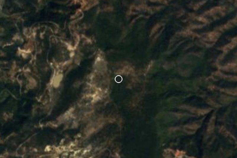
Directions to Zona arqueológica "Pezuapan" on Google Maps
Distances are in a straight line; the road is usually longer.
Links open a partner site. We may earn a commission if you book, at no cost to you.
From the nearest cities to Zona arqueológica "Pezuapan"
- Acapulco · about 115 km by road, ~1 h 40 min
- Iguala · about 115 km by road, ~1 h 40 min
- Tlapa · about 125 km by road, ~1 h 50 min
Drive times by road from OpenStreetMap, without traffic or stops. Times marked ~ are estimated from the straight-line distance.
Before you go to Zona arqueológica "Pezuapan": hours, prices and tips
- Rules
- Fenced and closed to the public; you can only look in through the fence. Wikivoyage · checked Oct 2026
Hours and prices change, especially around holidays. Each fact links to where we checked it.
Visiting Zona arqueológica "Pezuapan": what to see and do
The 12 m pyramid base, seen through the fence.
The south-face stairways cleared in 2004.
The Tlaloc sculpture from the San Francisco barrio, now at the Museo Regional de Guerrero.
The Mezcala pottery and miniatures in that museum's archaeology gallery.
Plan your trip
Places to stay in Zona arqueológica "Pezuapan"
Compare hotels, posadas, and rentals in and around Zona arqueológica "Pezuapan".
Tours & activities
A guide brings Zona arqueológica "Pezuapan" to life: look for tours from Guerrero that include the site and the ride there.
Mobile data
Signal can drop away from Guerrero: download a map of the way to Zona arqueológica "Pezuapan" before you set out, or carry an eSIM with data.
Links open a partner site. We may earn a commission if you book, at no cost to you.
Closest to Zona arqueológica "Pezuapan"
-
Chilpancingo · City · 1 km away
-
Museo Regional de Guerrero · Landmark · 1 km away
-
El Santuario · Landmark · 10 km away
-
Tixtla de Guerrero · Town · 10 km away
-
Zumpango del Río · Town · 12 km away
-
Chilapa de Álvarez · City · 33 km away
-
Concatedral de Chilapa · Landmark · 33 km away
-
La Organera-Xochipala · Archaeological site · 33 km away

Near Zona arqueológica "Pezuapan"





Drive times by road from OpenStreetMap, without traffic. Times marked ~ are estimated from the straight-line distance.
Lists with Zona arqueológica "Pezuapan"
Ruins in Guerrero · 8 Ruins near Chilpancingo · 4Location from OpenStreetMap. Written by Puebloteca.