Archaeological site Huitzuco de los Figueroa, Guerrero Northern Guerrero
A Preclassic town by Paso Morelos with carved stone ritual tubs and paved lanes; the Autopista del Sol runs through a tunnel beneath its ruins.
From Iguala: about 45 min by road (~50 km) How to get there ↓
Near here
See everything nearby ↓


Plan your visit to Cuetlajuchitlán
Where to stay near Cuetlajuchitlán
Compare hotels, posadas and guest houses in Cuetlajuchitlán.
Tours to Cuetlajuchitlán
A guide brings Cuetlajuchitlán to life: look for tours from Tlaltizapán that include the site and the ride there.
 Tours from Taxco
Taxco and Cuernavaca Tour from CDMX
★ 4.5 (11) · From US$61
How to get to Cuetlajuchitlán
- From Iguala: about 45 min by road (~50 km)
- Nearest airport: Mexico City (MEX), 1 h 55 min by car to Tlaltizapán
Links open a partner site. We may earn a commission if you book, at no cost to you.
Tours from Taxco, near Cuetlajuchitlán


Tours, prices and ratings from Viator, checked weekly. We may earn a commission if you book.
About Cuetlajuchitlán
Cuetlajuchitlán came to light in 1991, while the Autopista del Sol from Cuernavaca to Acapulco was being built, at about km 188. Instead of bulldozing it, engineers dug the single-bore Los Querendes tunnel, which runs some 50 metres beneath the buildings, the only place in Mexico where a highway was sent underground to save an archaeological site. The ruins sit on a limestone hill about 3 km south-east of Paso Morelos, in the municipality of Huitzuco. Paso Morelos itself was once called Cuetlajuchitlán, a Nahuatl name read as 'place of red flowers' or 'withered place'.
People lived here for around nine centuries. By about 600 BC it was a small village tied to the Olmec settlements of the Balsas basin; between 200 BC and AD 200 it became one of the largest and most complex centres in north-western Guerrero, linked to the Mezcala style, and spread over roughly 35 hectares. Late in the third century, apparently after a run of poor harvests, the population moved away, perhaps toward the Mezcala river. Newcomers built simple houses over the old public spaces, and by about AD 300 the site was empty. When the Aztecs conquered the region it had been abandoned for some 1,200 years.
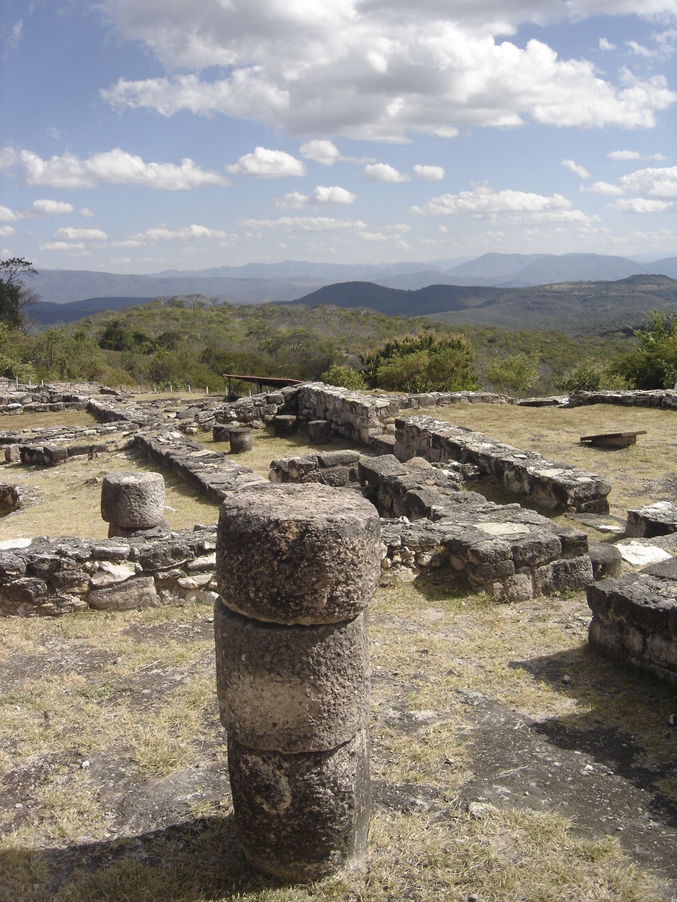
The town was laid out on two axes aligned with the cardinal points, with stone-paved lanes branching off between housing compounds, ceremonial enclosures and sunken patios. It was built with long dressed limestone blocks and with stone drums used as columns, which locals call quesos, cheeses. A local hallmark is the ceja, a recessed ledge on walls and tubs that spreads the load and doubles as decoration. There were drains, cisterns, grain stores and workshops making greenstone beads and axes, and offerings in the burials show contact with the Morelos valley, the Mezcala river and the Pacific coast.
Only about 2 of the 35 hectares have been dug, in excavations led by archaeologists Arturo Talavera and Rubén Manzanilla; that area holds eight building complexes and yielded two Mezcala-style sculptures.
How to get to Cuetlajuchitlán
The site is next to Paso Morelos, in the municipality of Huitzuco. By car you can come on the Autopista del Sol (95D) or on the Iguala-Huitzuco road to Paso Morelos; from Mexico City, take the Autopista del Sol toward Acapulco, leave it at Iguala toward Huitzuco and, past the Paso Morelos toll booth, follow a dirt track of about 2 km to the site. In the Acapulco-to-Mexico City lane there is a parking bay about 200 metres from the Los Querendes tunnel. From Chilpancingo it is 1 h 5 min and 92 km by road; from Tlaltizapán, in Morelos, 1 h 20 min and 111 km.
By public transport, buses for Guerrero leave Mexico City's Terminal del Sur (Taxqueña) along the Autopista del Sol, Estrella de Oro among them. We could not confirm a combi to Paso Morelos or a stop by the site, so plan the last stretch by taxi or car from Iguala or Huitzuco. The US State Department advises against all travel to Guerrero; travel by day and ask about local conditions before you go.
Directions to Cuetlajuchitlán on Google Maps
Distances are in a straight line; the road is usually longer.
Links open a partner site. We may earn a commission if you book, at no cost to you.
From the nearest cities to Cuetlajuchitlán
- Iguala · about 50 km by road, ~45 min
- Taxco · about 75 km by road, ~1 h 5 min
- Cuautla · about 100 km by road, ~1 h 25 min
Drive times by road from OpenStreetMap, without traffic or stops. Times marked ~ are estimated from the straight-line distance.
Before you go to Cuetlajuchitlán: hours, prices and tips
- Hours
- Wednesday to Sunday, 9:00 to 17:00; last entry at 16:00. INAH · checked Oct 2026
- Rules
- No smoking, food or pets. There is parking, an information desk and toilets. Entry is free for under-13s, students and teachers with valid ID, seniors and retirees. Professional cameras and tripods need prior permission. INAH · checked Oct 2026
Hours and prices change, especially around holidays. Each fact links to where we checked it.
Visiting Cuetlajuchitlán: what to see and do
Ceremonial Enclosure 1, 28 by 18 metres, with two monolithic pink-stone tubs, their drainage and a temazcal steam bath.
Ceremonial Enclosure 2, smaller and perhaps older, also with two tubs and stacks of reused blocks.
Patio 2, a sunken patio with a small shrine and stone altar, ringed by five rooms where the elite met.
The hillside housing compounds, with rooms around sunken patios, water catchment and storerooms.
The ceja on walls and tubs, the recessed ledge typical of the site's buildings.
The quesos, stone drums that held up the roofs.
Complex 8, about 200 metres west, with a platform that carried a single house, perhaps a ruler's.
In Paso Morelos, the ruined Augustinian chapel in the cemetery and the monument to José María Morelos.
Plan your trip
Places to stay in Cuetlajuchitlán
Compare hotels, posadas, and rentals in and around Cuetlajuchitlán.
Tours & activities
A guide brings Cuetlajuchitlán to life: look for tours from Tlaltizapán that include the site and the ride there.
Rental cars
Pick up a car at MEX (Mexico City): about 1 h 55 min by road to Tlaltizapán, then 54 km more to Cuetlajuchitlán, on your own schedule.
Flights
The nearest airport with scheduled flights is Mexico City (MEX), about 1 h 55 min by road from Tlaltizapán, the base for Cuetlajuchitlán.
Mobile data
Signal can drop away from Tlaltizapán: download a map of the way to Cuetlajuchitlán before you set out, or carry an eSIM with data.
Links open a partner site. We may earn a commission if you book, at no cost to you.
When to go to Cuetlajuchitlán warm
Cuetlajuchitlán shares the climate of Tlaltizapán, 54 km away. The best months to visit are January, October, November, and December.
See the month-by-month climate of Tlaltizapán
Weather in Cuetlajuchitlán now and the next 7 days
Live forecast from Open-Meteo. Chance of rain is the day's highest.
The closest Pueblo Mágico: Tlaltizapán

Tlaltizapán is the Pueblo Mágico closest to Cuetlajuchitlán, with places to stay, food, and more to see.
Also close to
- Taxco · Guerrero · 57 km away
- Xochitepec · Morelos · 67 km away
- Ixcateopan · Guerrero · 70 km away
Closest to Cuetlajuchitlán
-
Coaxitlán · Village · 28 km away
-
Reserva de la Biosfera Sierra de Huautla · Nature reserve · 29 km away
-
Zona Arqueológica de Chimalacatlán · Archaeological site · 29 km away
-
Chimalacatlán · Village · 31 km away
-
Huautla · Village · 33 km away
-
Tilzapotla · Village · 33 km away
-
Laguna de Tuxpan · Lake · 34 km away
-
Teopantecuanitlán · Archaeological site · 35 km away


Near Cuetlajuchitlán



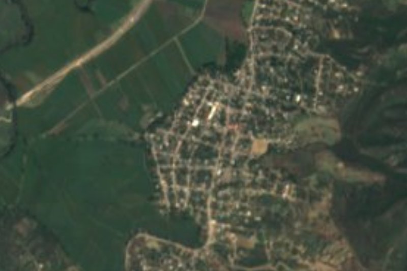
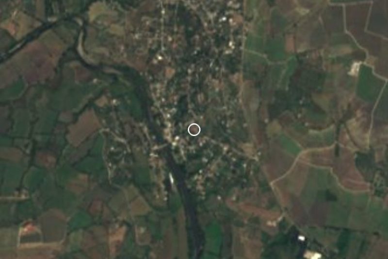


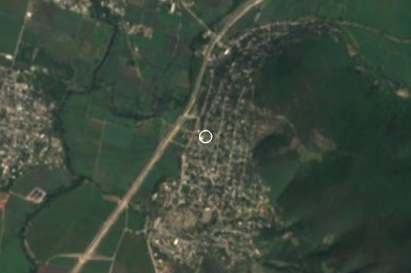
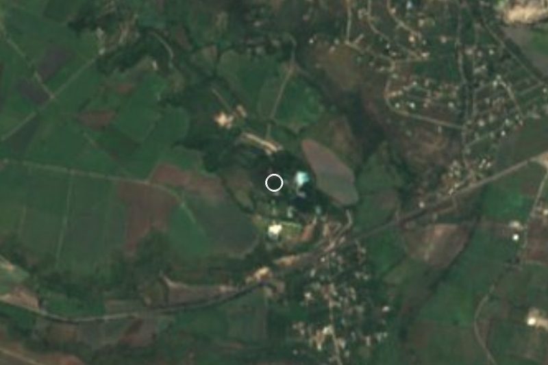
Drive times by road from OpenStreetMap, without traffic. Times marked ~ are estimated from the straight-line distance.
Lists with Cuetlajuchitlán
Ruins in Guerrero · 8 Ruins near Iguala · 4 Ruins near Tlaltizapán · 10 Ruins near Taxco · 5Location from OpenStreetMap. Written by Puebloteca.