Town Tezoatlán de Segura y Luna, Oaxaca Mixteca of Oaxaca
Mixtec palm-weaving and maize town in the Mixteca Baja at about 2,060 m, with five barrios and fiestas on 31 August and 8 December.
From Huajuapan de León: 55 min by car (50 km by road) How to get there ↓
Near here
See everything nearby ↓


Plan your visit to Yucuquimi de Ocampo
Where to stay near Yucuquimi de Ocampo
Compare hotels, posadas and guest houses in Yucuquimi de Ocampo.
Tours to Yucuquimi de Ocampo
Day trips around Teposcolula sometimes stop in Yucuquimi de Ocampo; a tour is the easy way to see it without a car.
How to get to Yucuquimi de Ocampo
- From Huajuapan de León: about 55 min by road (~50 km)
- Nearest airport: Oaxaca (OAX), 1 h 45 min by car to Teposcolula
Links open a partner site. We may earn a commission if you book, at no cost to you.
About Yucuquimi de Ocampo
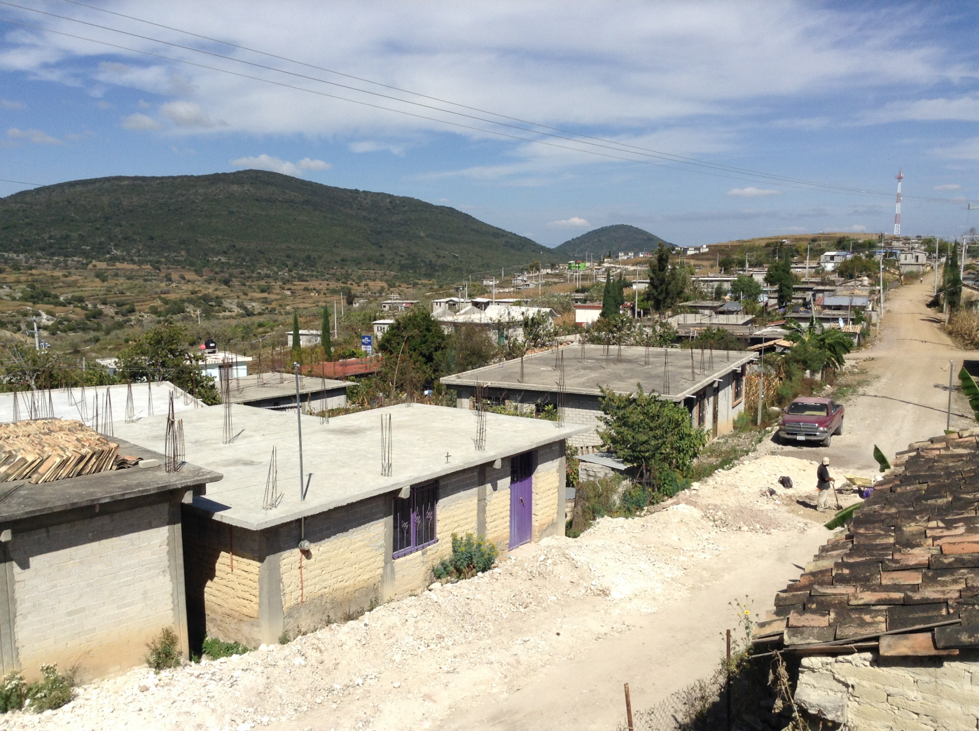
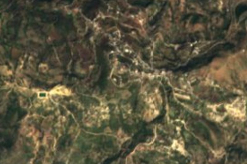
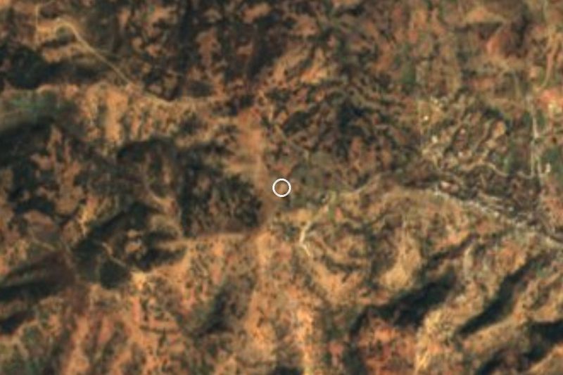
The name comes from Mixtec and means "hill of the morning star", and that hill rises above the rooftops from almost every street. Yucuquimi sits in the Mixteca Baja of Oaxaca at roughly 2,060 metres, in the municipality of Tezoatlán de Segura y Luna. In 2020 it had 2,433 residents, more than many municipal seats in the region, and about 94 percent of people over three speak Mixtec.
The town is divided into five barrios: Centro, Plan de Iguala, Alta Vista, Buenos Aires and Juárez. Each has its own primary school and chapel, while Centro holds the agency office and the square where the year's cultural events take place. Nearly all streets and roads are dirt; there is one paved stretch, leaving through Buenos Aires toward San Andrés Yutatío to the north and San Marcos de Garzón to the west. That road was opened in 1968. Before it, people carrying hats to sell in Tezoatlán walked about three hours, and those who went on to Huajuapan took three days to get home.
Palm is still the local trade: people weave hats, mats, baskets, rope, fire fans and toys. Maize goes in with the first rains in late May or early June and is harvested in November, and many farmers still plough with a team of animals. The big fiestas are San Ramón Nonato on 31 August and the Immaculate Conception on 8 December. Basketball is popular with the young, and most barrios have a court.
Yucuquimi runs on its own community system of government, with San Marcos de Garzón, San Valentín de Gómez, Cuesta Blanca, San Isidro Zaragoza and Rancho Juárez as dependent villages. In September 2019 residents blocked federal highway 190 to demand funds and recognition as an autonomous municipality.
How to get to Yucuquimi de Ocampo
Drive from Huajuapan de León: 55 min, 50 km
By road: from Oaxaca de Juárez it is about 170 km on federal highway 190 to Huajuapan de León. Before Huajuapan, at the Tezoatlán de Segura y Luna junction, you leave the 190 and drive to the municipal seat; Yucuquimi is about 18 km south of Tezoatlán. The paved access comes in through San Andrés Yutatío, north of the town; inside Yucuquimi and on other approaches almost everything is dirt, which gets difficult in the rainy season (June to September) without a high-clearance vehicle.
By public transport: from Oaxaca the usual way is a bus to Huajuapan de León, then local transport to Tezoatlán. We found no published timetable for pickups or colectivos from Tezoatlán to Yucuquimi and no fixed stop, so ask in the market or at the Tezoatlán crossroads for whoever goes up to the town; going by car is the safest option. Teposcolula is about 42 km away as the crow flies and there is no direct link. Bring cash.
Directions to Yucuquimi de Ocampo on Google Maps
Distances are in a straight line; the road is usually longer.
Links open a partner site. We may earn a commission if you book, at no cost to you.
From the nearest cities to Yucuquimi de Ocampo
- Huajuapan de León · 50 km by road, 55 min
- Tehuacán · 190 km by road, 2 h 55 min
- Oaxaca · 201 km by road, 3 h
Drive times by road from OpenStreetMap, without traffic or stops. Times marked ~ are estimated from the straight-line distance.
Before you go to Yucuquimi de Ocampo: hours, prices and tips
- Best time of day
- November, at the maize harvest, or December for the fiesta; in the rains (June to September) the dirt roads get hard. Yucuquimi de Ocampo (Wikipedia) · checked Oct 2026
- Best season
- Patron-saint fiestas: San Ramón Nonato on 31 August and the Immaculate Conception on 8 December. Tesis UNAM sobre el patrimonio cultural inmaterial de Yucuquimi de Ocampo (2016) · checked Oct 2026
Hours and prices change, especially around holidays. Each fact links to where we checked it.
Visiting Yucuquimi de Ocampo: what to see and do
Climb to the plaza in barrio Centro and look at the Lucero hill the town is named for.
Buy a palm hat or mat straight from the weaver.
Visit the chapels of the five barrios, each with its own saint and mayordomía.
Come on 31 August or 8 December for the patron-saint fiestas.
Walk the dirt tracks between cornfields; planting is late May, harvest in November.
Ask about the basketball courts, where schools play tournaments against each other.
Plan your trip
Places to stay in Yucuquimi de Ocampo
Compare hotels, posadas, and rentals in and around Yucuquimi de Ocampo.
Tours & activities
Day trips around Teposcolula sometimes stop in Yucuquimi de Ocampo; a tour is the easy way to see it without a car.
Rental cars
Pick up a car at OAX (Oaxaca): about 1 h 45 min by road to Teposcolula, then 42 km more to Yucuquimi de Ocampo, on your own schedule.
Flights
The nearest airport with scheduled flights is Oaxaca (OAX), about 1 h 45 min by road from Teposcolula, the base for Yucuquimi de Ocampo.
Mobile data
Signal can drop away from Teposcolula: download a map of the way to Yucuquimi de Ocampo before you set out, or carry an eSIM with data.
Links open a partner site. We may earn a commission if you book, at no cost to you.
When to go to Yucuquimi de Ocampo cool
Yucuquimi de Ocampo shares the climate of Teposcolula, 42 km away. The best months to visit are January, February, March, and December.
See the month-by-month climate of Teposcolula
Weather in Yucuquimi de Ocampo now and the next 7 days
Live forecast from Open-Meteo. Chance of rain is the day's highest.
The closest Pueblo Mágico: Teposcolula

Teposcolula is the Pueblo Mágico closest to Yucuquimi de Ocampo, with places to stay, food, and more to see.
Closest to Yucuquimi de Ocampo
-
Santa Catarina Yutandú · Town · 8 km away
-
Santo Domingo Tonalá · Town · 13 km away
-
San Agustín Atenango · Town · 14 km away
-
San Marcos Arteaga · Town · 15 km away
-
Ixpantepec Nieves · Town · 19 km away
-
Cerro de las Minas · Archaeological site · 29 km away
-
Silacayoápam · Town · 29 km away
-
La Colmena · Village · 31 km away

Near Yucuquimi de Ocampo





Drive times by road from OpenStreetMap, without traffic. Times marked ~ are estimated from the straight-line distance.
Location from OpenStreetMap. Written by Puebloteca.