Village Atexcal, Puebla Tehuacán Valley
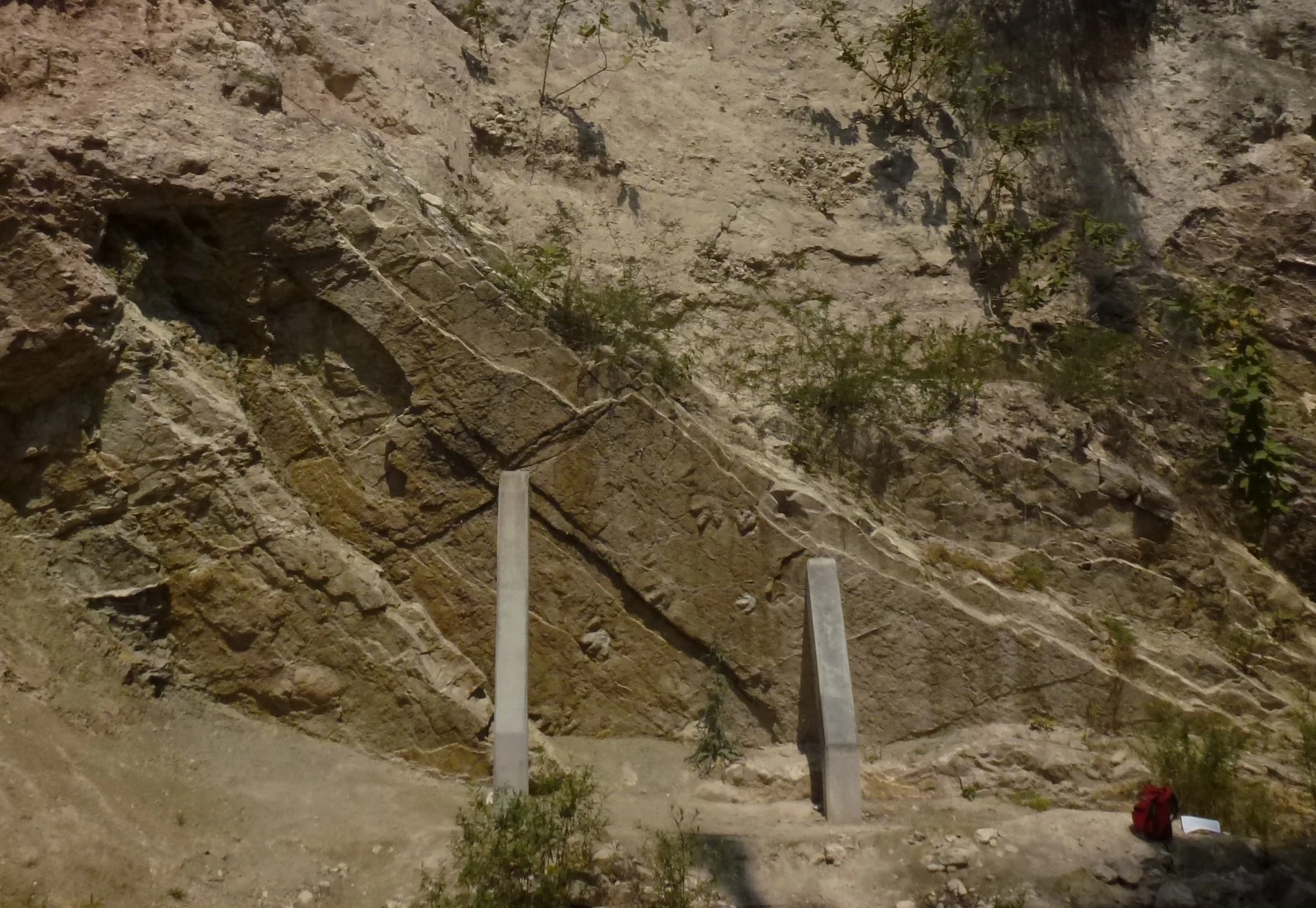
Village in southern Puebla by the Sierra de Zapotitlán; Early Cretaceous dinosaur tracks are preserved on the Magdalena River.
From Tehuacán: 1 h 25 min by car (63 km by road) How to get there ↓
Near here
See everything nearby ↓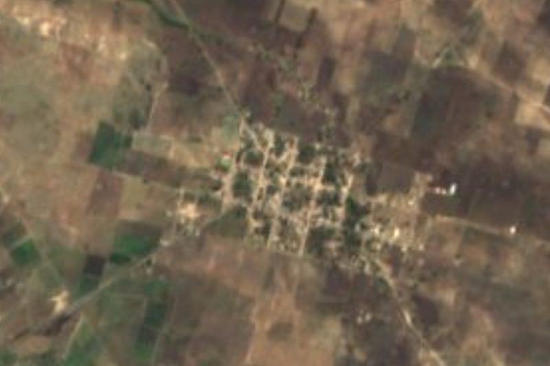

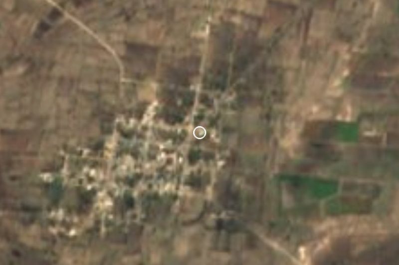

Plan your visit to San Martín Atexcal
Where to stay near San Martín Atexcal
Compare hotels, posadas and guest houses in San Martín Atexcal.
Tours to San Martín Atexcal
Day trips and guided outings from Orizaba often include San Martín Atexcal; with a local guide you can get there without a car.
 Tours from Puebla City
Africam Safari Zoo Admission with Transportation
★ 4.8 (87) · From US$35
How to get to San Martín Atexcal
- From Tehuacán: about 1 h 25 min by road (~63 km)
- Nearest airport: Veracruz (VER), 1 h 42 min by car to Orizaba
Links open a partner site. We may earn a commission if you book, at no cost to you.
Tours from Puebla City, near San Martín Atexcal


Tours, prices and ratings from Viator, checked weekly. We may earn a commission if you book.
About San Martín Atexcal
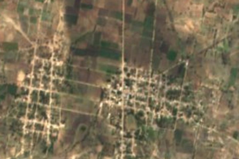
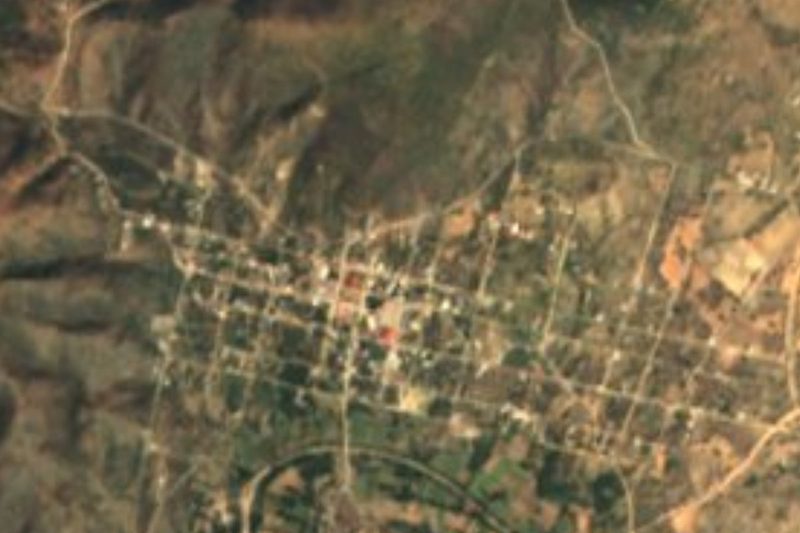
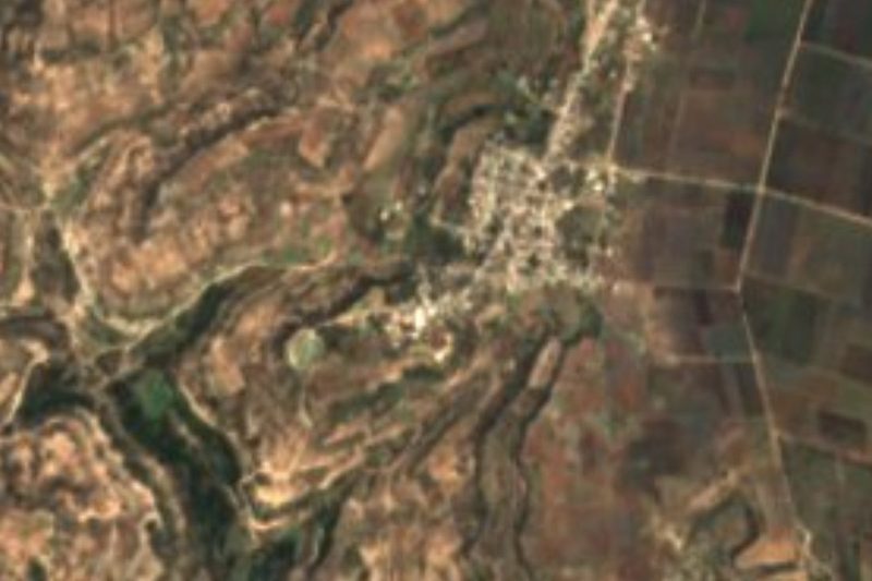
San Martín Atexcal is the seat of the municipality of Atexcal in southern Puebla, in the Tehuacán region. The name comes from the Nahuatl atl, water, and texcalli, rock: "water springing from the rocks". The village stands at about 1,800 m and had 977 people in 2020. The municipality, about 395 km², is one of the largest in the state and borders Juan N. Méndez, Tehuacán, Zapotitlán, Oaxaca, Totoltepec de Guerrero and Coyotepec.
Its relief has three parts: to the west, the eastern end of the Sierra de Acatlán, with Cerro de la Pila and the Cordón de la Culebra; in the middle, the broad, flat Acatlán valley; and to the east, the Sierra de Zapotitlán, with the highest summits, Cerro Texcal and Cerro Gordo, over 2,500 m.
Atexcal is well known to palaeontologists. On the Magdalena River, in Albian rocks of the San Juan Raya formation from the Early Cretaceous, dinosaur tracks appear on six levels through 9 m of rock: theropod and ornithopod footprints on the lowest level and sauropod tracks on the middle ones. It is one of the few Early Cretaceous sites in Mexico with recorded footprints. After the 2025 rains, INAH confirmed new tracks of plant- and meat-eating dinosaurs about 120 million years old at sites in Atexcal and Tehuacán.
How to get to San Martín Atexcal
Drive from Tehuacán: 1 h 25 min, 63 km
San Martín Atexcal lies in southern Puebla, about 37 km south-west of Tehuacán in a straight line, roughly 1 hour by car. Tehuacán is about 2 hours by bus from Puebla's CAPU terminal. Puebla city is about 87 km away in a straight line. The tracks are in rural areas; go with a local guide or the village authorities.
Directions to San Martín Atexcal on Google Maps
Distances are in a straight line; the road is usually longer.
Links open a partner site. We may earn a commission if you book, at no cost to you.
From the nearest cities to San Martín Atexcal
- Tehuacán · 63 km by road, 1 h 25 min
- Orizaba · about 110 km by road, ~1 h 35 min
- Atlixco · about 120 km by road, ~1 h 45 min
Drive times by road from OpenStreetMap, without traffic or stops. Times marked ~ are estimated from the straight-line distance.
Visiting San Martín Atexcal: what to see and do
The dinosaur tracks on the Magdalena River.
The Sierra de Zapotitlán, with Cerro Texcal and Cerro Gordo.
The broad, flat Acatlán valley.
Pair it with Santa Ana Teloxtoc and its Salitrillo ravine.
Plan your trip
Places to stay in San Martín Atexcal
Compare hotels, posadas, and rentals in and around San Martín Atexcal.
Tours & activities
Day trips and guided outings from Orizaba often include San Martín Atexcal; with a local guide you can get there without a car.
Rental cars
Pick up a car at VER (Veracruz): about 1 h 42 min by road to Orizaba, then 83 km more to San Martín Atexcal, on your own schedule.
Flights
The nearest airport with scheduled flights is Veracruz (VER), about 1 h 42 min by road from Orizaba, the base for San Martín Atexcal.
Mobile data
Signal can drop away from Orizaba: download a map of the way to San Martín Atexcal before you set out, or carry an eSIM with data.
Links open a partner site. We may earn a commission if you book, at no cost to you.
When to go to San Martín Atexcal mild
San Martín Atexcal shares the climate of Orizaba, 83 km away. The best months to visit are February, March, April, and December.
See the month-by-month climate of Orizaba
Weather in San Martín Atexcal now and the next 7 days
Live forecast from Open-Meteo. Chance of rain is the day's highest.
The closest Pueblo Mágico: Orizaba

Orizaba is the Pueblo Mágico closest to San Martín Atexcal, with places to stay, food, and more to see.
Closest to San Martín Atexcal
-
San Mateo Zoyamazalco · Village · 7 km away
-
San Vicente Coyotepec · Village · 10 km away
-
San Juan Ixcaquixtla · Town · 12 km away
-
Nativitas Cuautempan · Village · 13 km away
-
Atenayuca · Village · 16 km away
-
San Juan Raya · Village · 16 km away
-
Santa Ana Teloxtoc · Village · 17 km away
-
Alta Luz Cuatro Rayas · Village · 18 km away

Near San Martín Atexcal




Drive times by road from OpenStreetMap, without traffic. Times marked ~ are estimated from the straight-line distance.
Location from OpenStreetMap. Written by Puebloteca.