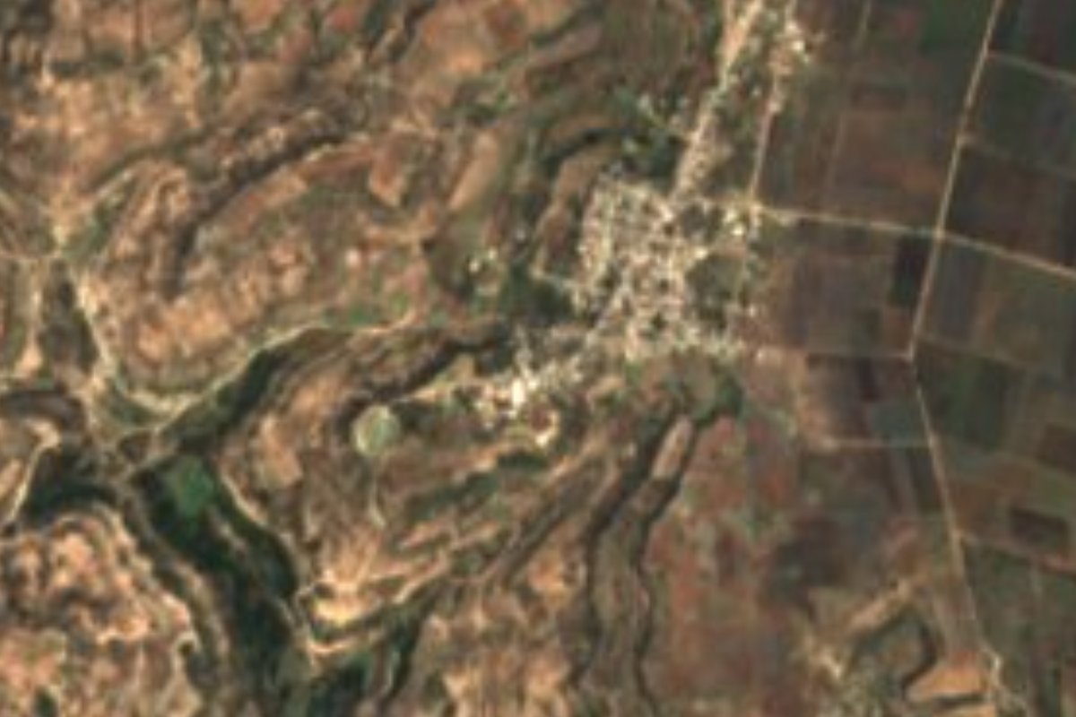
Village Tepexi de Rodríguez, Puebla Municipality of Tepexi de Rodríguez Mixteca Poblana
"Where water springs": a village of Tepexi de Rodríguez, also called Todos Santos, in the warm marble-and-fossil country of the Puebla Mixteca.
From Tehuacán: 1 h 50 min by car (82 km by road) How to get there ↓
Near here
See everything nearby ↓
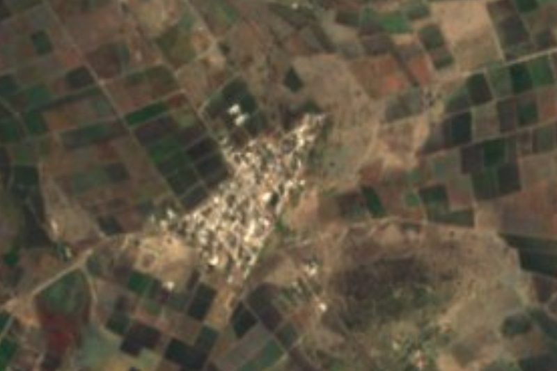

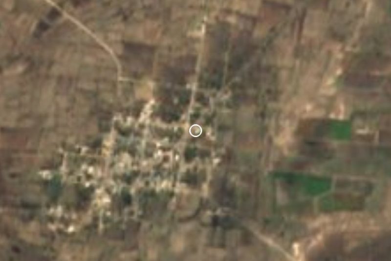


Plan your visit to Almolonga
Where to stay near Almolonga
Compare hotels, posadas and guest houses in Almolonga.
Tours to Almolonga
Day trips and guided outings from Atlixco often include Almolonga; with a local guide you can get there without a car.
 Tours from Puebla City
Africam Safari Zoo Admission with Transportation
★ 4.8 (87) · From US$35
How to get to Almolonga
- From Tehuacán: about 1 h 50 min by road (~82 km)
- Nearest airport: Puebla (PBC), 41 min by car to Atlixco
Links open a partner site. We may earn a commission if you book, at no cost to you.
Tours from Puebla City, near Almolonga


Tours, prices and ratings from Viator, checked weekly. We may earn a commission if you book.
About Almolonga
Atl, water; moloni, to spring forth; and the place suffix -can: Almolonga means "place where water springs", a telling name in a district where almost every stream runs only in the rainy season. Official records also list it as Todos Santos. With 1,483 residents in 2020 and 428 homes, it is one of the main localities of Tepexi de Rodríguez; it sits at 1,821 m, about 13 km in a straight line south-southwest of the municipal seat and some 68 km from Puebla city, closer to Tehuacán (61 km) than to Atlixco (69 km).
The municipality, almost 399 km², fills the middle of the Llanos de Tepexi, broken ground ringed by the Zapotitlán, Acatlán and Soltepec ranges. It was founded by Popolocas on the border of three languages, Popoloca, Mixtec and Nahuatl; old Tepexi paid tribute to the Aztecs and after the Conquest the town was refounded on its present site. In colonial times it was the alcaldía of Tepexi de la Seda, and in the War of Independence an insurgent stronghold. From that past survive the church of Santo Domingo de Guzmán and the town hall, both 16th century, and the council house of 1604. The big regional fiesta is that of the Señor de Huajoyuca: on the Thursday before the first Friday of Lent the image leaves at night in procession and returns after five in the morning.
The climate ranges from semi-warm to mild, averaging 16 to 24 °C with 600 to 900 mm of rain; about 38% of the land is farmed and the rest is tropical forest, scrub and grassland. Besides farming, people work the marble quarries, and the local rocks hold so many fossils that the municipality runs the Pie de Vaca site museum, also called the Museo Regional Mixteco Tlayúa. Local hands weave palm, raffia and pochote fibre, carve onyx and make pottery; the kitchen offers guaxmole, pit barbecue, cecina, roasted or fried grasshoppers, tetelas and alache broth, with mezcal, pulque and granillo atole.
How to get to Almolonga
Drive from Tehuacán: 1 h 50 min, 82 km
By road, the seat of Tepexi is about 89 km from Puebla city, and Almolonga lies a further 13 km in a straight line south-southwest. We found no published direct service from the CAPU to Tepexi: route planners suggest Autobuses Valles from the CAPU to Tlacotepec (every 30 minutes, about 1 h 20 min) and then a taxi. For Almolonga, the simplest option is your own vehicle or local transport from Tepexi.
Directions to Almolonga on Google Maps
Distances are in a straight line; the road is usually longer.
Links open a partner site. We may earn a commission if you book, at no cost to you.
From the nearest cities to Almolonga
- Tehuacán · 82 km by road, 1 h 50 min
- Puebla · 102 km by road, 1 h 50 min
- Huajuapan de León · 111 km by road, 2 h 5 min
Drive times by road from OpenStreetMap, without traffic or stops. Times marked ~ are estimated from the straight-line distance.
Visiting Almolonga: what to see and do
The village of Almolonga and its forest and scrub landscape.
In Tepexi: the 16th-century church of Santo Domingo de Guzmán and the 1604 council house.
The Pie de Vaca site museum, with fossils from the area.
The night procession of the Señor de Huajoyuca, on the eve of the first Friday of Lent.
Plan your trip
Places to stay in Almolonga
Compare hotels, posadas, and rentals in and around Almolonga.
Tours & activities
Day trips and guided outings from Atlixco often include Almolonga; with a local guide you can get there without a car.
Rental cars
Pick up a car at PBC (Puebla): about 41 min by road to Atlixco, then 69 km more to Almolonga, on your own schedule.
Flights
The nearest airport with scheduled flights is Puebla (PBC), about 41 min by road from Atlixco, the base for Almolonga.
Mobile data
Signal can drop away from Atlixco: download a map of the way to Almolonga before you set out, or carry an eSIM with data.
Links open a partner site. We may earn a commission if you book, at no cost to you.
When to go to Almolonga mild
Almolonga shares the climate of Atlixco, 69 km away. The best months to visit are January, February, March, and December.
See the month-by-month climate of Atlixco
Weather in Almolonga now and the next 7 days
Live forecast from Open-Meteo. Chance of rain is the day's highest.
The closest Pueblo Mágico: Atlixco

Atlixco is the Pueblo Mágico closest to Almolonga, with places to stay, food, and more to see.
Also close to
- Cholula · Puebla · 75 km away
Closest to Almolonga
-
Santa Inés Ahuatempan · Town · 9 km away
-
Alta Luz Cuatro Rayas · Village · 10 km away
-
San Felipe Otlaltepec · Village · 10 km away
-
Nativitas Cuautempan · Village · 12 km away
-
Tepexi de Rodríguez · Town · 13 km away
-
San Juan Ixcaquixtla · Town · 14 km away
-
San Vicente Coyotepec · Village · 16 km away
-
Zacapala · Village · 17 km away

Near Almolonga
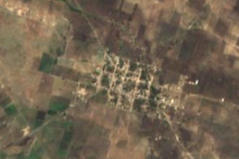


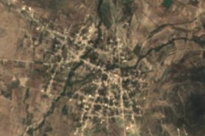
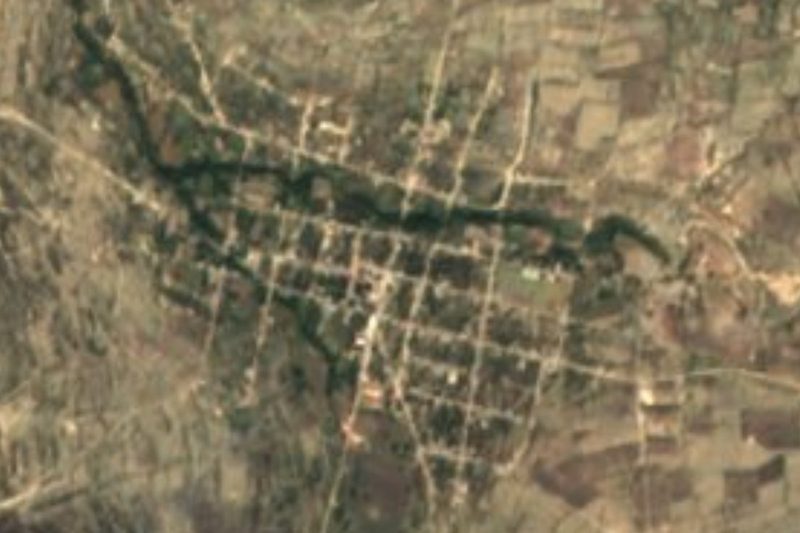


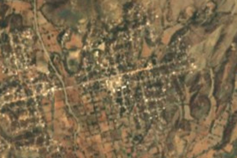
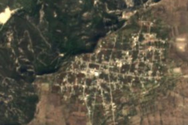

Drive times by road from OpenStreetMap, without traffic. Times marked ~ are estimated from the straight-line distance.
Location from OpenStreetMap. Written by Puebloteca.