
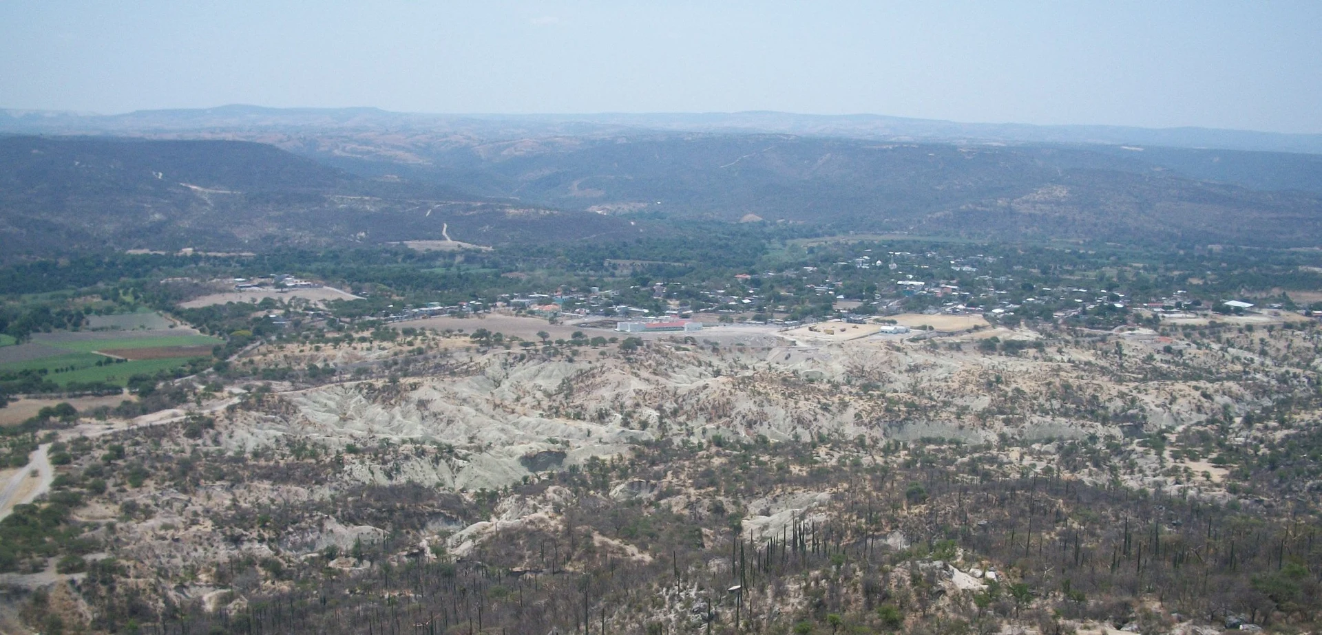
Village Zacapala, Puebla Mixteca Poblana
Mixteca village with Mixtec and Popoloca roots going back to the 9th century, a church to St John the Evangelist finished in 1700 and a fiesta on 27 December.
From Puebla: 1 h 35 min by car (79 km by road) How to get there ↓
Near here
See everything nearby ↓



Plan your visit to Zacapala
Where to stay near Zacapala
Compare hotels, posadas and guest houses in Zacapala.
Tours to Zacapala
Day trips and guided outings from Atlixco often include Zacapala; with a local guide you can get there without a car.
 Tours from Puebla City
Africam Safari Zoo Admission with Transportation
★ 4.8 (87) · From US$35
How to get to Zacapala
- From Puebla: about 1 h 35 min by road (~79 km)
- Nearest airport: Puebla (PBC), 41 min by car to Atlixco
Links open a partner site. We may earn a commission if you book, at no cost to you.
Tours from Puebla City, near Zacapala


Tours, prices and ratings from Viator, checked weekly. We may earn a commission if you book.
About Zacapala
Zacapala's Nahuatl name pairs zacatl, maize straw, with palani, to rot, giving "rotting straw". The village, home to 1,182 people in 2020, is the seat of a municipality of almost 393 km² and 4,647 residents in south-central Puebla, part of the Mixteca poblana. Mixtec and Popoloca people had settled here by the 9th century.
The oldest surviving building is the church of San Juan Evangelista, completed in 1700; its parish records begin in 1842. A civil registry opened in 1872, the same year Zacapala became a free municipality.
Houses spread at roughly 1,300 m on the Tepexi plains. The Ajamilpa, a stream that only runs when summer rain comes down from the ravines to the east, crosses the village, and further south-west the land drops to the Atoyac river. Most of the hills are covered in low deciduous forest, with patches of oak to the east. Farmers grow maize, squash, tomatoes, onions and beans, plus avocado, custard apple and black sapote.
On 27 December the feast of St John the Evangelist brings Masses, a rodeo, cockfights, fireworks and the dance of the Twelve Peers of France; a similar celebration falls on the fourth Friday of Lent. Locals weave sturdy sacks and sleeping mats from ixtle fibre and palm, and the kitchen leans on mole, pipián and ash tamales, with candied squash and seed jamoncillo for dessert.
How to get to Zacapala
Drive from Puebla: 1 h 35 min, 79 km
From Puebla city it is about 79 km and 1 h 35 min by car: head south on Boulevard Valsequillo, skirt the reservoir through San Baltazar Tetela and follow state roads 533 and 504 into the Mixteca; the last stretch is the Zacapala–Coatzingo road. From Atlixco it is about 82 km, also around 1 h 35 min, taking federal highway 190 toward Izúcar de Matamoros. A secondary road links the village with Tepexi de Rodríguez and Chigmecatitlán, and south with Cuayuca and Tehuitzingo, where it meets highway 190. The municipal encyclopedia lists buses and minibuses to Puebla, Izúcar de Matamoros and Tehuacán.
Directions to Zacapala on Google Maps
Distances are in a straight line; the road is usually longer.
Links open a partner site. We may earn a commission if you book, at no cost to you.
From the nearest cities to Zacapala
- Puebla · 79 km by road, 1 h 35 min
- Atlixco · 81 km by road, 1 h 35 min
- Huamantla · 126 km by road, 1 h 55 min
Drive times by road from OpenStreetMap, without traffic or stops. Times marked ~ are estimated from the straight-line distance.
Visiting Zacapala: what to see and do
The church of San Juan Evangelista, completed in 1700.
The 27 December fiesta with the dance of the Twelve Peers of France.
Sacks and mats woven from ixtle and palm.
The dry forest of the Tepexi plains and the ravines east of the village.
Ash tamales and candied squash.
Plan your trip
Places to stay in Zacapala
Compare hotels, posadas, and rentals in and around Zacapala.
Tours & activities
Day trips and guided outings from Atlixco often include Zacapala; with a local guide you can get there without a car.
Rental cars
Pick up a car at PBC (Puebla): about 41 min by road to Atlixco, then 52 km more to Zacapala, on your own schedule.
Flights
The nearest airport with scheduled flights is Puebla (PBC), about 41 min by road from Atlixco, the base for Zacapala.
Mobile data
Signal can drop away from Atlixco: download a map of the way to Zacapala before you set out, or carry an eSIM with data.
Links open a partner site. We may earn a commission if you book, at no cost to you.
When to go to Zacapala mild
Zacapala shares the climate of Atlixco, 52 km away. The best months to visit are January, February, March, and December.
See the month-by-month climate of Atlixco
Weather in Zacapala now and the next 7 days
Live forecast from Open-Meteo. Chance of rain is the day's highest.
The closest Pueblo Mágico: Atlixco

Atlixco is the Pueblo Mágico closest to Zacapala, with places to stay, food, and more to see.
Also close to
- Cholula · Puebla · 58 km away
- Huejotzingo · Puebla · 73 km away
- Ixtenco · Tlaxcala · 75 km away
Closest to Zacapala
-
Chigmecatitlán · Village · 6 km away
-
Huatlatlauca · Village · 10 km away
-
Coatzingo · Village · 12 km away
-
Tepexi de Rodríguez · Town · 15 km away
-
Almolonga · Village · 17 km away
-
Cascada de Los Pescaditos · Waterfall · 19 km away
-
La Magdalena Tlatlauquitepec · Village · 19 km away
-
Ahuatlán · Village · 20 km away

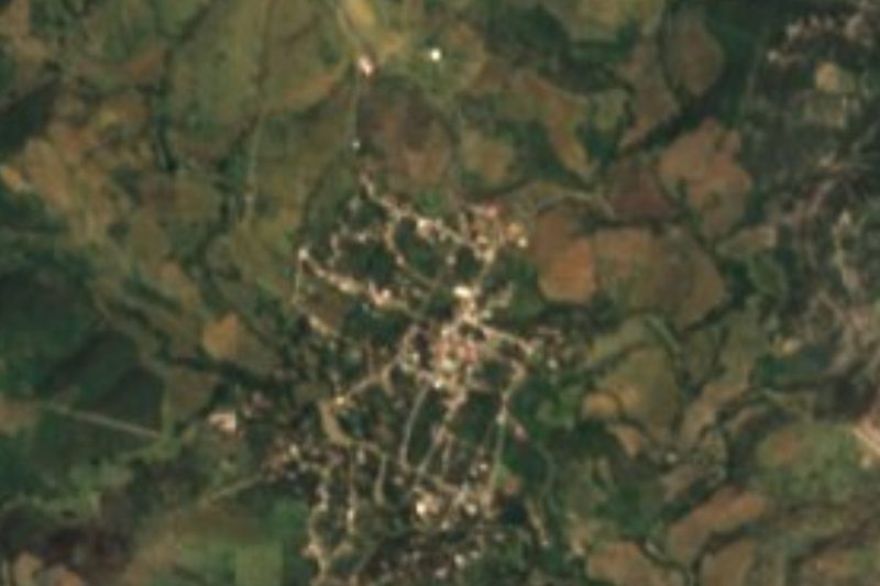
Near Zacapala





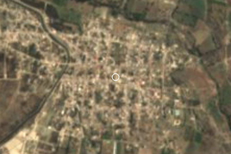
Drive times by road from OpenStreetMap, without traffic. Times marked ~ are estimated from the straight-line distance.
Location from OpenStreetMap. Written by Puebloteca.