
Village La Magdalena Tlatlauquitepec, Puebla Mixteca Poblana
Puebla's least populated municipality, a single village below the Sierra del Tentzo with a 16th-century church and a fiesta on 22 July.
From Puebla: 1 h 5 min by car (50 km by road) How to get there ↓
Near here
See everything nearby ↓



Plan your visit to La Magdalena Tlatlauquitepec
Where to stay near La Magdalena Tlatlauquitepec
Compare hotels, posadas and guest houses in La Magdalena Tlatlauquitepec.
Tours to La Magdalena Tlatlauquitepec
Day trips and guided outings from Atlixco often include La Magdalena Tlatlauquitepec; with a local guide you can get there without a car.
 Tours from Puebla City
Africam Safari Zoo Admission with Transportation
★ 4.8 (87) · From US$35
How to get to La Magdalena Tlatlauquitepec
- From Puebla: about 1 h 5 min by road (~50 km)
- Nearest airport: Puebla (PBC), 41 min by car to Atlixco
Links open a partner site. We may earn a commission if you book, at no cost to you.
Tours from Puebla City, near La Magdalena Tlatlauquitepec


Tours, prices and ratings from Viator, checked weekly. We may earn a commission if you book.
About La Magdalena Tlatlauquitepec
La Magdalena Tlatlauquitepec has fewer residents than any other municipality in Puebla, and nearly all of them live in one village, the seat. The municipality covers 11.1 km² and had 484 people in 2010; the 2020 census counted 647 in the village. It lies at about 1,620 m below the Sierra del Tentzo, almost surrounded by Huehuetlán el Grande, with Huatlatlauca to the east. Don't mix it up with Tlatlauquitepec, the Pueblo Mágico in the Sierra Norte, or with La Magdalena, a village in that municipality known for its swimming pools in the river.
The Nahuatl name translates as "hill that colours", from tlatlahui, to colour, and tepetl, hill. Mixtec groups were the first settlers; after independence the village belonged to the Tepexi district, and it became a free municipality in 1895. To the north the land climbs the dry limestone hills of the Tentzo to about 2,340 m; southward it levels out, and at the far end the Cerro Grande, Tlacolotla and Cuiyapan ravines carry seasonal water to the Huehuetlán river, a tributary of the Atoyac. There are oaks, yuccas and junipers, with patches of dry tropical forest holding copal, cuajilote and ceiba.
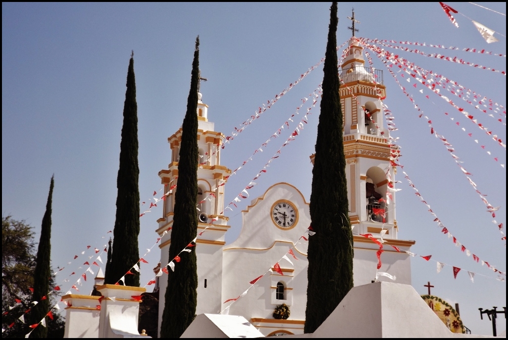
The church of Santa María Magdalena dates from the 16th century, was remodelled in the 17th and has two bell towers of different sizes. Its fiesta is on 22 July, with processions and the Twelve Peers of France, tecuanis and vaqueros dances. People work palm, clay and ixtle fibre, and local sweets include xemezcal, made from maguey hearts, candied squash and jamoncillo. The municipal encyclopedia also points to the Ojo de Agua river, the Venero de Agua spring and the Tlacayocán pools.
How to get to La Magdalena Tlatlauquitepec
Drive from Puebla: 1 h 5 min, 50 km
From Puebla city head south on Boulevard Valsequillo and the Valsequillo road, pass through Guadalupe Victoria Valsequillo and continue on rural roads toward Huehuetlán el Grande: about 52 km and an hour and a quarter. From Atlixco it is about 74 km (1 h 20 min), crossing via Puebla's Periférico Ecológico. The village lies in Puebla's Mixteca, between Huehuetlán el Grande and Huatlatlauca.
Directions to La Magdalena Tlatlauquitepec on Google Maps
Distances are in a straight line; the road is usually longer.
Links open a partner site. We may earn a commission if you book, at no cost to you.
From the nearest cities to La Magdalena Tlatlauquitepec
- Puebla · 50 km by road, 1 h 5 min
- Atlixco · 75 km by road, 1 h 25 min
- Chiautempan · 83 km by road, 1 h 35 min
Drive times by road from OpenStreetMap, without traffic or stops. Times marked ~ are estimated from the straight-line distance.
Visiting La Magdalena Tlatlauquitepec: what to see and do
The 16th-century church of Santa María Magdalena with its two bell towers.
The patron-saint fiesta on 22 July and its dances.
The Ojo de Agua river and the Venero de Agua spring.
The Tlacayocán pools.
The limestone hills of the Sierra del Tentzo north of the village.
Plan your trip
Places to stay in La Magdalena Tlatlauquitepec
Compare hotels, posadas, and rentals in and around La Magdalena Tlatlauquitepec.
Tours & activities
Day trips and guided outings from Atlixco often include La Magdalena Tlatlauquitepec; with a local guide you can get there without a car.
Rental cars
Pick up a car at PBC (Puebla): about 41 min by road to Atlixco, then 38 km more to La Magdalena Tlatlauquitepec, on your own schedule.
Flights
The nearest airport with scheduled flights is Puebla (PBC), about 41 min by road from Atlixco, the base for La Magdalena Tlatlauquitepec.
Mobile data
Signal can drop away from Atlixco: download a map of the way to La Magdalena Tlatlauquitepec before you set out, or carry an eSIM with data.
Links open a partner site. We may earn a commission if you book, at no cost to you.
When to go to La Magdalena Tlatlauquitepec mild
La Magdalena Tlatlauquitepec shares the climate of Atlixco, 38 km away. The best months to visit are January, February, March, and December.
See the month-by-month climate of Atlixco
Weather in La Magdalena Tlatlauquitepec now and the next 7 days
Live forecast from Open-Meteo. Chance of rain is the day's highest.
The closest Pueblo Mágico: Atlixco

Atlixco is the Pueblo Mágico closest to La Magdalena Tlatlauquitepec, with places to stay, food, and more to see.
Also close to
- Cholula · Puebla · 40 km away
- Huejotzingo · Puebla · 55 km away
- Ixtenco · Tlaxcala · 57 km away
- Huamantla · Tlaxcala · 64 km away
Closest to La Magdalena Tlatlauquitepec
-
Cascadas de Ahuehuetla · Waterfall · 8 km away
-
Huatlatlauca · Village · 10 km away
-
Chigmecatitlán · Village · 13 km away
-
Los Ángeles Tetela · Village · 16 km away
-
Cascada de Los Pescaditos · Waterfall · 17 km away
-
Presa de Valsequillo · Landmark · 17 km away
-
Coatzingo · Village · 18 km away
-
San Baltazar Tetela · Village · 18 km away
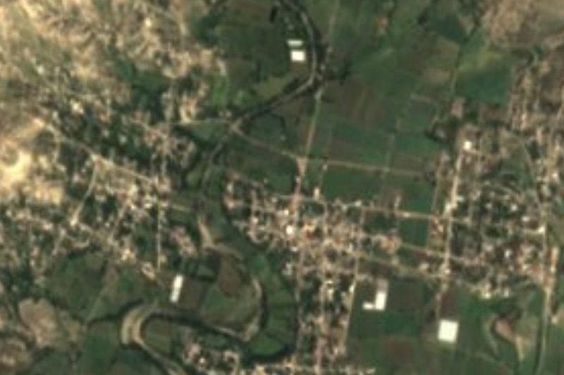
Near La Magdalena Tlatlauquitepec


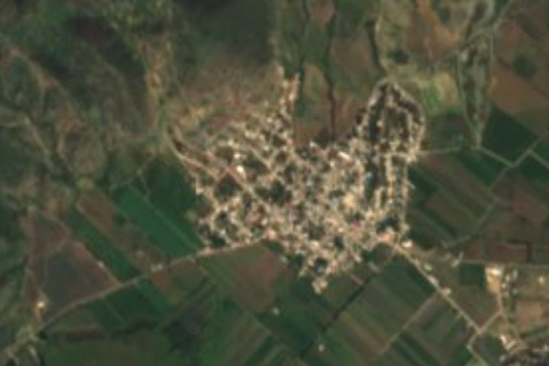


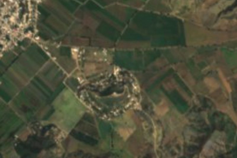
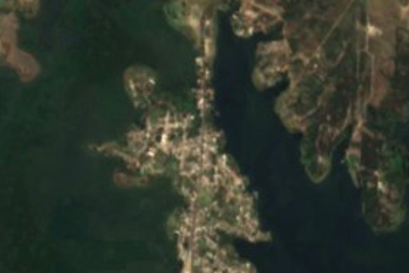

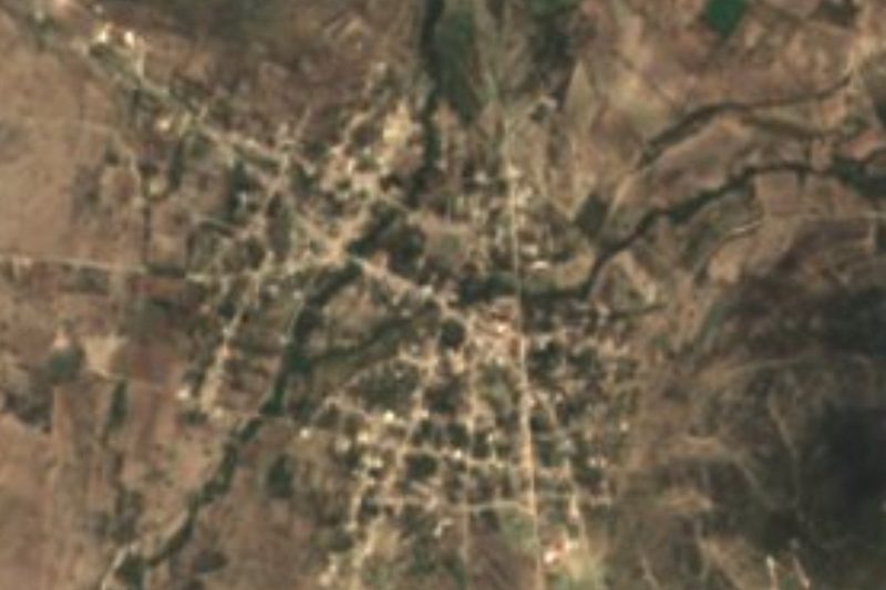

Drive times by road from OpenStreetMap, without traffic. Times marked ~ are estimated from the straight-line distance.
Location from OpenStreetMap. Written by Puebloteca.