

Village Tepexi de Rodríguez, Puebla Municipality of Tepexi de Rodríguez Mixteca Poblana
"On the hill of reeds": a Tepexi de Rodríguez village in Puebla's Mixteca, under skies dark enough to photograph the Milky Way.
From Atlixco: about 1 h 30 min by road (~105 km) How to get there ↓
Near here
See everything nearby ↓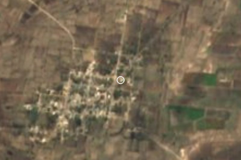

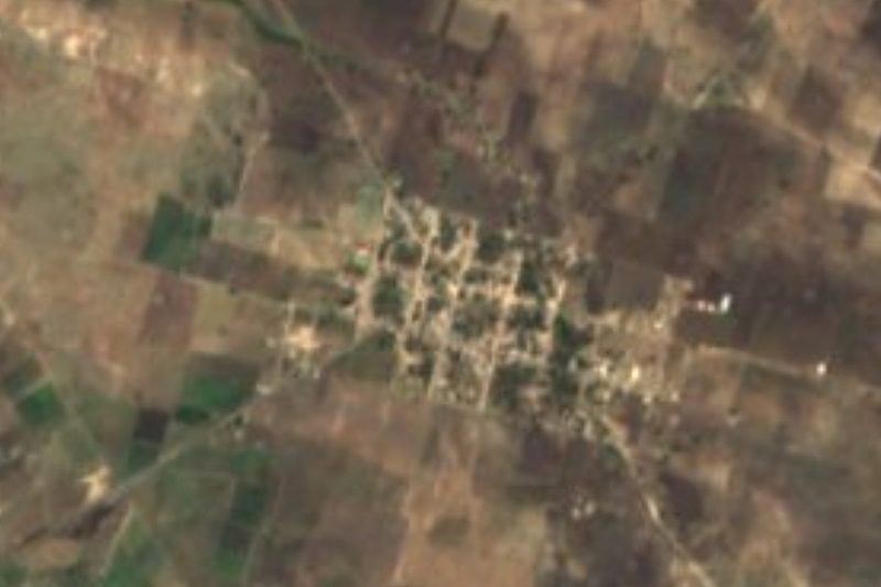
Plan your visit to San Felipe Otlaltepec
Where to stay near San Felipe Otlaltepec
Compare hotels, posadas and guest houses in San Felipe Otlaltepec.
Tours to San Felipe Otlaltepec
Day trips and guided outings from Atlixco often include San Felipe Otlaltepec; with a local guide you can get there without a car.
How to get to San Felipe Otlaltepec
- From Atlixco: about 1 h 30 min by road (~105 km)
- Nearest airport: Puebla (PBC), 41 min by car to Atlixco
Links open a partner site. We may earn a commission if you book, at no cost to you.
About San Felipe Otlaltepec
Otlaltepec joins otlatl, reed, tepetl, hill, and the locative co, so the name means "on the hill of reeds"; the San Felipe in front honours Philip the Apostle, the patron saint. It is one of the main settlements of Tepexi de Rodríguez in southern Puebla and serves as one of the municipality's juntas auxiliares. The 2020 census counted 1,980 residents here, spread over dry rolling hills at about 1,844 metres, 55 kilometres from Tehuacán and 78 from the state capital.
The area sits on a cultural borderline: Tepexi el Viejo was founded by Popoloca people and lay between Popoloca-, Mixtec- and Nahuatl-speaking towns, before paying tribute to the Aztecs and being refounded after the Conquest on its present site. In colonial times the district was known as Tepexi de la Seda, Tepexi of the silk. The land around Otlaltepec is low tropical forest, scrub and grassland, with temperatures of 16 to 24 degrees and only 600 to 900 millimetres of rain a year; the streams draining towards the Acatlán and Atoyac rivers mostly flow only in the wet season.
That dryness and the distance from any city make for very clear nights: a photograph of the Milky Way taken at dawn in February 2021 in San Felipe Otlaltepec is on Wikimedia Commons. INEGI's municipal compendium singles the village out for its wind bands, and local cooking includes guasmole, barbacoa, roasted grasshoppers, alachis broth and tetelas, with sweets of mango, fig and chilacayote squash. Palm and raffia weaving and onyx carving are regional crafts.
How to get to San Felipe Otlaltepec
Otlaltepec lies about 78 kilometres south of Puebla city and is reached by road through the Tepexi de Rodríguez area; Tehuacán is 55 kilometres away and Atlixco 79. A car is the practical choice, since Mixteca roads are long and winding.
Directions to San Felipe Otlaltepec on Google Maps
Distances are in a straight line; the road is usually longer.
Links open a partner site. We may earn a commission if you book, at no cost to you.
From the nearest cities to San Felipe Otlaltepec
- Atlixco · about 105 km by road, ~1 h 30 min
- Tehuacán · 71 km by road, 1 h 50 min
- Huajuapan de León · 100 km by road, 1 h 55 min
Drive times by road from OpenStreetMap, without traffic or stops. Times marked ~ are estimated from the straight-line distance.
Visiting San Felipe Otlaltepec: what to see and do
Watch the night sky far from city lights, walk the hills of low forest and scrub around the village, and in the municipal seat, Tepexi de Rodríguez, see the church of Santo Domingo de Guzmán and the 1604 council house.
Plan your trip
Places to stay in San Felipe Otlaltepec
Compare hotels, posadas, and rentals in and around San Felipe Otlaltepec.
Tours & activities
Day trips and guided outings from Atlixco often include San Felipe Otlaltepec; with a local guide you can get there without a car.
Rental cars
Pick up a car at PBC (Puebla): about 41 min by road to Atlixco, then 79 km more to San Felipe Otlaltepec, on your own schedule.
Flights
The nearest airport with scheduled flights is Puebla (PBC), about 41 min by road from Atlixco, the base for San Felipe Otlaltepec.
Mobile data
Signal can drop away from Atlixco: download a map of the way to San Felipe Otlaltepec before you set out, or carry an eSIM with data.
Links open a partner site. We may earn a commission if you book, at no cost to you.
When to go to San Felipe Otlaltepec mild
San Felipe Otlaltepec shares the climate of Atlixco, 79 km away. The best months to visit are January, February, March, and December.
See the month-by-month climate of Atlixco
Weather in San Felipe Otlaltepec now and the next 7 days
Live forecast from Open-Meteo. Chance of rain is the day's highest.
The closest Pueblo Mágico: Atlixco

Atlixco is the Pueblo Mágico closest to San Felipe Otlaltepec, with places to stay, food, and more to see.
Closest to San Felipe Otlaltepec
-
Nativitas Cuautempan · Village · 6 km away
-
San Vicente Coyotepec · Village · 8 km away
-
Almolonga · Village · 10 km away
-
San Juan Ixcaquixtla · Town · 10 km away
-
Alta Luz Cuatro Rayas · Village · 12 km away
-
San Mateo Zoyamazalco · Village · 12 km away
-
Santa Inés Ahuatempan · Town · 12 km away
-
San Martín Atexcal · Village · 18 km away


Near San Felipe Otlaltepec



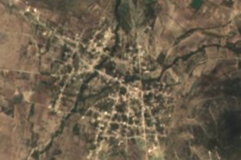


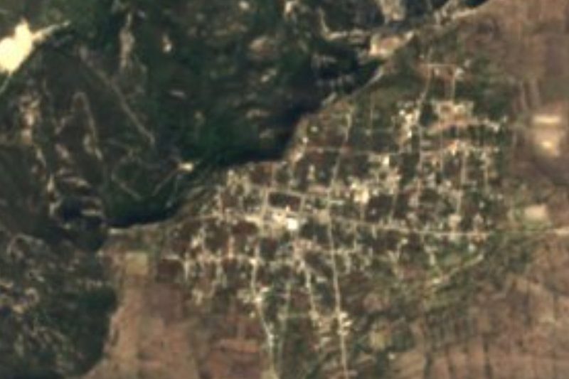

Drive times by road from OpenStreetMap, without traffic. Times marked ~ are estimated from the straight-line distance.
Location from OpenStreetMap. Written by Puebloteca.