Village Ajalpan, Puebla Municipality of Ajalpan Tehuacán Valley
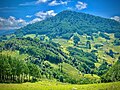
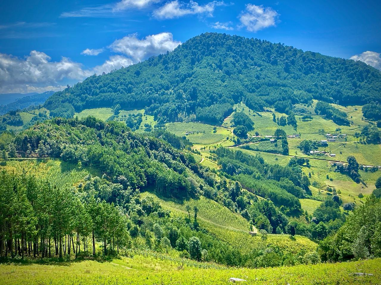
Nahua community in the Sierra Negra at 2,486 m in the municipality of Ajalpan, cool all year; its name means "bitter river".
From Tehuacán: 1 h 15 min by car (75 km by road) How to get there ↓
Near here
See everything nearby ↓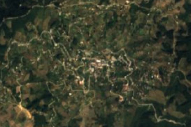


Plan your visit to Chichicapa
Where to stay near Chichicapa
Compare hotels, posadas and guest houses in Chichicapa.
Tours to Chichicapa
Day trips and guided outings from Huautla often include Chichicapa; with a local guide you can get there without a car.
How to get to Chichicapa
- From Tehuacán: about 1 h 15 min by road (~75 km)
- Nearest airport: Oaxaca (OAX), 3 h 34 min by car to Huautla
Links open a partner site. We may earn a commission if you book, at no cost to you.
About Chichicapa
Chichicapa is a junta auxiliar of the municipality of Ajalpan in south-eastern Puebla, in the Sierra Negra region. It stands at 2,486 m and has about 1,300 inhabitants, the ninth largest place in the municipality. Its people are mainly Indigenous, above all Nahua. The name comes from the Nahuatl chichic, bitter, and apan, river: "bitter river".
Because of the altitude it is cool all year: temperatures range from about 2 to 21 °C, rarely below −2 or above 25. In the rainy season skies are usually cloudy, and in the dry season partly cloudy. The sunniest months, and the best for a visit, run from early April to late May. The Sierra Negra region is known for its landscape of mountains, forests and rivers.
The municipality of Ajalpan, about 395 km², climbs from 1,100 to 2,900 m: part lies in the Tehuacán valley and part in the Sierra de Zongolica, a branch of the Sierra Madre Oriental, where Chichicapa and other mountain communities are. To the north-east it borders the Veracruz municipalities of Tehuipango and Zongolica. Ajalpan, the municipal seat, is known for its red clay roof tiles.
How to get to Chichicapa
Drive from Tehuacán: 1 h 15 min, 75 km
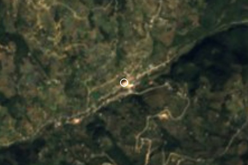
Chichicapa lies in the mountainous part of the municipality of Ajalpan, east of the seat. Ajalpan is 22 km by road from Tehuacán, which is about 2 hours by bus from Puebla's CAPU terminal. From Ajalpan the road climbs into the sierra. The Pueblo Mágico of Huautla de Jiménez in Oaxaca is about 36 km away in a straight line.
Directions to Chichicapa on Google Maps
Distances are in a straight line; the road is usually longer.
Links open a partner site. We may earn a commission if you book, at no cost to you.
From the nearest cities to Chichicapa
- Tehuacán · 75 km by road, 1 h 15 min
- Orizaba · 85 km by road, 1 h 45 min
- Huajuapan de León · about 130 km by road, ~1 h 55 min
Drive times by road from OpenStreetMap, without traffic or stops. Times marked ~ are estimated from the straight-line distance.
Before you go to Chichicapa: hours, prices and tips
- Best season
- Early April to late May has the clearest days; the rainy season is usually cloudy. It is cool all year (2 to 21 °C). Wikipedia · checked Oct 2026
Hours and prices change, especially around holidays. Each fact links to where we checked it.
Visiting Chichicapa: what to see and do
The village centre at almost 2,500 m.
The Sierra Negra landscape of mountains, forests and rivers.
Pair it with Ajalpan, the municipal seat.
Plan your trip
Places to stay in Chichicapa
Compare hotels, posadas, and rentals in and around Chichicapa.
Tours & activities
Day trips and guided outings from Huautla often include Chichicapa; with a local guide you can get there without a car.
Rental cars
Pick up a car at OAX (Oaxaca): about 3 h 34 min by road to Huautla, then 36 km more to Chichicapa, on your own schedule.
Flights
The nearest airport with scheduled flights is Oaxaca (OAX), about 3 h 34 min by road from Huautla, the base for Chichicapa.
Mobile data
Signal can drop away from Huautla: download a map of the way to Chichicapa before you set out, or carry an eSIM with data.
Links open a partner site. We may earn a commission if you book, at no cost to you.
When to go to Chichicapa mild
Chichicapa shares the climate of Huautla, 36 km away. The best months to visit are February, March, April, and May.
See the month-by-month climate of Huautla
Weather in Chichicapa now and the next 7 days
Live forecast from Open-Meteo. Chance of rain is the day's highest.
The closest Pueblo Mágico: Huautla

Huautla is the Pueblo Mágico closest to Chichicapa, with places to stay, food, and more to see.
Also close to
- Orizaba · Veracruz · 50 km away
- Córdoba · Veracruz · 56 km away
- Coscomatepec · Veracruz · 75 km away
Closest to Chichicapa


Near Chichicapa
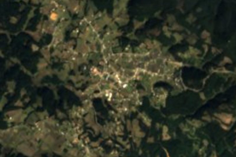





Drive times by road from OpenStreetMap, without traffic. Times marked ~ are estimated from the straight-line distance.
Location from OpenStreetMap. Written by Puebloteca.