Village San Sebastián Tlacotepec, Puebla Tehuacán Valley
The municipal seat farthest from Puebla city: a Nahua and Mazatec town at 300 m, amid rainforest in one of Mexico's rainiest areas.
From Córdoba: 1 h 40 min by car (92 km by road) How to get there ↓
Near here
See everything nearby ↓



Plan your visit to Tlacotepec de Porfirio Díaz
Where to stay near Tlacotepec de Porfirio Díaz
Compare hotels, posadas and guest houses in Tlacotepec de Porfirio Díaz.
Tours to Tlacotepec de Porfirio Díaz
Day trips and guided outings from Huautla often include Tlacotepec de Porfirio Díaz; with a local guide you can get there without a car.
How to get to Tlacotepec de Porfirio Díaz
- From Córdoba: about 1 h 40 min by road (~92 km)
- Nearest airport: Oaxaca (OAX), 3 h 34 min by car to Huautla
Links open a partner site. We may earn a commission if you book, at no cost to you.
About Tlacotepec de Porfirio Díaz
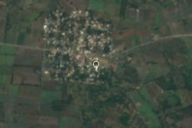
Of all Puebla's municipal seats, this is the one farthest from the capital, mostly because of how hard it is to reach: only rural roads winding through the mountains get here. Tlacotepec de Porfirio Díaz is the seat of the municipality of San Sebastián Tlacotepec, at the far southeastern tip of the state where Puebla meets Veracruz and Oaxaca. It lies at only about 300 m above sea level, far below most of the state, and had 1,783 residents in 2020. Huautla de Jiménez in Oaxaca is about 31 km away in a straight line and Córdoba in Veracruz about 55 km.
The name, from the Nahuatl tlahco, half, and tepetl, hill, with the ending co, means "halfway up the hill"; the surname recalls Porfirio Díaz. Its origins are tied to Nahua and Mazatec settlements, and in the early 16th century the town was set up as an encomienda; in 1900 it became the municipal seat. Both languages are still alive: in 2010 almost 95% of the municipality's residents over five spoke an Indigenous language, mainly Nahuatl and, after it, Mazatec. The parish church, dedicated to Saint Sebastian the Martyr, dates from the 16th century.
The municipality, about 241 km², is one of Puebla's most isolated. Here the foothills of the Sierra Madre Oriental drop toward the Gulf plain: in the southwest rise the Sierra del Axusco, part of the Sierra de Zongolica, and Cerro Cebaltepec, while the centre and east are nearly flat. The Tonto River, regarded as the main source of the Papaloapan, marks the border with Veracruz; the Coyolapa separates it from Zoquitlán and Eloxochitlán, and the Petlapa from Oaxaca. It rains as in few places in the country: over 4,000 mm a year in a southeastern strip. Tall evergreen rainforest grows in the north and temperate forest on the southern heights. People weave palm and cane, and cook hip or backbone mole, totopos, tlaxcales and chileatole, with peach, tejocote and apple preserves, chocolate, aguardiente and mezcal.
How to get to Tlacotepec de Porfirio Díaz
Drive from Córdoba: 1 h 40 min, 92 km
Tlacotepec de Porfirio Díaz is about 159 km in a straight line from Puebla city, but the overland trip is far longer: only rural roads cross the rugged terrain of the Sierra Negra. On the Veracruz side, Córdoba is about 55 km away, and Huautla de Jiménez in Oaxaca about 31 km.
Directions to Tlacotepec de Porfirio Díaz on Google Maps
Distances are in a straight line; the road is usually longer.
Links open a partner site. We may earn a commission if you book, at no cost to you.
From the nearest cities to Tlacotepec de Porfirio Díaz
- Córdoba · 92 km by road, 1 h 40 min
- Orizaba · 114 km by road, 2 h
- Veracruz · about 150 km by road, ~2 h 15 min
Drive times by road from OpenStreetMap, without traffic or stops. Times marked ~ are estimated from the straight-line distance.
Visiting Tlacotepec de Porfirio Díaz: what to see and do
The 16th-century parish church of Saint Sebastian the Martyr.
The Tonto River, border with Veracruz and source of the Papaloapan.
The tall evergreen rainforest in the north of the municipality.
The Sierra del Axusco and Cerro Cebaltepec.
Plan your trip
Places to stay in Tlacotepec de Porfirio Díaz
Compare hotels, posadas, and rentals in and around Tlacotepec de Porfirio Díaz.
Tours & activities
Day trips and guided outings from Huautla often include Tlacotepec de Porfirio Díaz; with a local guide you can get there without a car.
Rental cars
Pick up a car at OAX (Oaxaca): about 3 h 34 min by road to Huautla, then 31 km more to Tlacotepec de Porfirio Díaz, on your own schedule.
Flights
The nearest airport with scheduled flights is Oaxaca (OAX), about 3 h 34 min by road from Huautla, the base for Tlacotepec de Porfirio Díaz.
Mobile data
Signal can drop away from Huautla: download a map of the way to Tlacotepec de Porfirio Díaz before you set out, or carry an eSIM with data.
Links open a partner site. We may earn a commission if you book, at no cost to you.
When to go to Tlacotepec de Porfirio Díaz mild
Tlacotepec de Porfirio Díaz shares the climate of Huautla, 31 km away. The best months to visit are February, March, April, and May.
See the month-by-month climate of Huautla
Weather in Tlacotepec de Porfirio Díaz now and the next 7 days
Live forecast from Open-Meteo. Chance of rain is the day's highest.
The closest Pueblo Mágico: Huautla

Huautla is the Pueblo Mágico closest to Tlacotepec de Porfirio Díaz, with places to stay, food, and more to see.
Also close to
- Córdoba · Veracruz · 55 km away
- Orizaba · Veracruz · 56 km away
- Coscomatepec · Veracruz · 77 km away
Closest to Tlacotepec de Porfirio Díaz
-
Ameyalco · Village · 10 km away
-
Zoquitlán · Village · 19 km away
-
Santa María Coyomeapan · Village · 20 km away
-
Chichicapa · Village · 21 km away
-
Xitlama · Village · 21 km away
-
Eloxochitlán de Flores Magón · Town · 26 km away
-
Cuitzala · Village · 27 km away
-
Cascada de Puente de Fierro · Waterfall · 28 km away

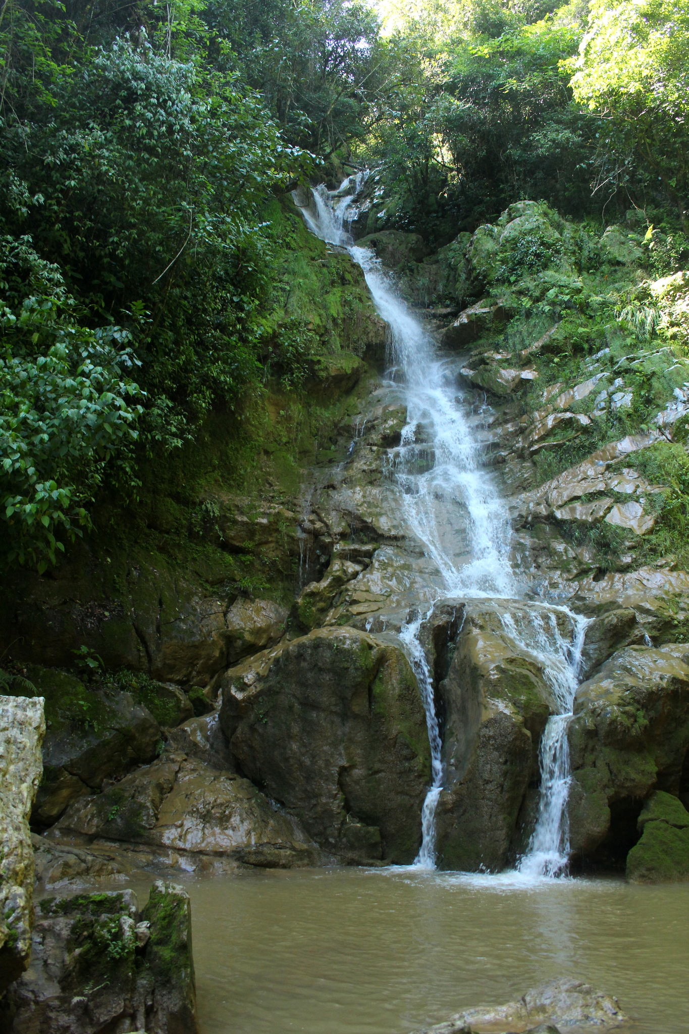
Near Tlacotepec de Porfirio Díaz




Drive times by road from OpenStreetMap, without traffic. Times marked ~ are estimated from the straight-line distance.
Location from OpenStreetMap. Written by Puebloteca.