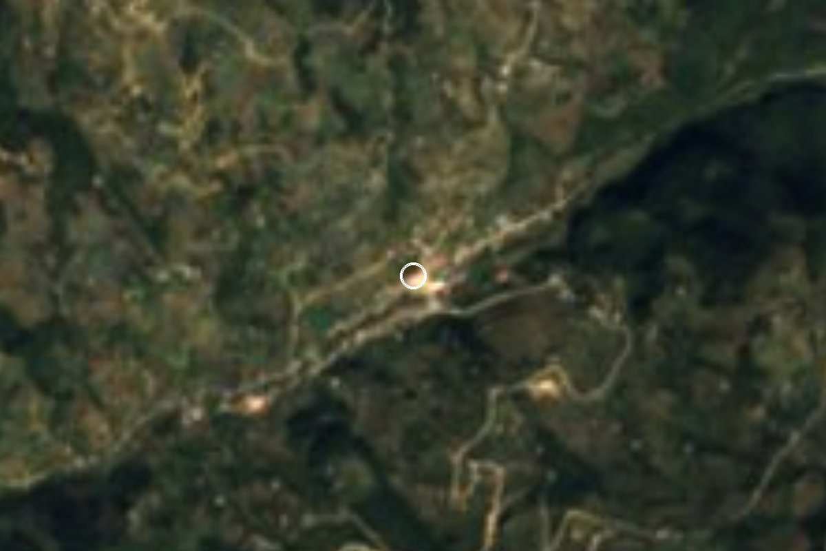
Village Zoquitlán, Puebla Tehuacán Valley
Auxiliary town of Zoquitlán in the Sierra Negra, at about 1,850 m, the municipality's largest settlement; its name means "on the grassy slopes".
From Tehuacán: 1 h 20 min by car (71 km by road) How to get there ↓
Near here
See everything nearby ↓


Plan your visit to Xitlama
Where to stay near Xitlama
Compare hotels, posadas and guest houses in Xitlama.
Tours to Xitlama
Day trips and guided outings from Huautla often include Xitlama; with a local guide you can get there without a car.
How to get to Xitlama
- From Tehuacán: about 1 h 20 min by road (~71 km)
- Nearest airport: Oaxaca (OAX), 3 h 34 min by car to Huautla
Links open a partner site. We may earn a commission if you book, at no cost to you.
About Xitlama
Xitlama sits at about 1,850 m in the Sierra Negra, the range in south-eastern Puebla that locals call the Sierra del Axusco and that forms one mountain block with the Sierra de Zongolica. The Nahuatl name joins xihuitl, grass, and tlamac, on the sides, giving "on the grassy slopes". It is one of the four juntas auxiliares (auxiliary towns) of Zoquitlán municipality, along with Acatepec, Tepexilotla and Cacaloc, roughly 12 km from the seat, San Pablo Zoquitlán.
The 2020 census counted 2,766 residents, down from 3,198 in 2010, which still makes it the most populous settlement in a municipality where most people speak Nahuatl. Farming and livestock are the main work.
The mountains catch the moist winds off the Gulf of Mexico, so the climate is mild, averaging about 16 °C, with rain through much of the year, around 1,340 mm. Streams in the municipality run east to the Coyolapa river, which drains into the Tonto and on into the Papaloapan basin. The municipal encyclopedia lists a waterfall at Xitlama among Zoquitlán's sights, along with falls in the mountains and on the Coyolapa. Local food includes pochocuiles, grubs raised in jonote trees and fried, and people carve wooden spoons and weave reed baskets.
How to get to Xitlama
Drive from Tehuacán: 1 h 20 min, 71 km
From Tehuacán take federal highway 135 (Tehuacán-Teotitlán) south and, near Coxcatlán, turn onto state road 734, the Coxcatlán-Zoquitlán road that climbs into the mountains. It is about 71 km and roughly 1 h 20 min by route estimate, though the mountain bends can stretch that. Huautla de Jiménez, the nearest Pueblo Mágico, is about 76 km by road, some 2 hours, via Teotitlán and highway 182. Puebla city is about 172 km from the municipal seat.
Directions to Xitlama on Google Maps
Distances are in a straight line; the road is usually longer.
Links open a partner site. We may earn a commission if you book, at no cost to you.
From the nearest cities to Xitlama
- Tehuacán · 71 km by road, 1 h 20 min
- Tuxtepec · about 125 km by road, ~1 h 50 min
- Huajuapan de León · about 125 km by road, ~1 h 55 min
Drive times by road from OpenStreetMap, without traffic or stops. Times marked ~ are estimated from the straight-line distance.
Visiting Xitlama: what to see and do
The waterfall in the junta auxiliar listed by the municipal encyclopedia.
The green slopes of the Sierra Negra around the village.
The Coyolapa river and its falls, east of the municipality.
The 16th-century church of San Pablo in Zoquitlán town, about 12 km away.
The San Pablo fiesta in Zoquitlán on 25 January, with the danza de los negritos.
Plan your trip
Places to stay in Xitlama
Compare hotels, posadas, and rentals in and around Xitlama.
Tours & activities
Day trips and guided outings from Huautla often include Xitlama; with a local guide you can get there without a car.
Rental cars
Pick up a car at OAX (Oaxaca): about 3 h 34 min by road to Huautla, then 26 km more to Xitlama, on your own schedule.
Flights
The nearest airport with scheduled flights is Oaxaca (OAX), about 3 h 34 min by road from Huautla, the base for Xitlama.
Mobile data
Signal can drop away from Huautla: download a map of the way to Xitlama before you set out, or carry an eSIM with data.
Links open a partner site. We may earn a commission if you book, at no cost to you.
When to go to Xitlama mild
Xitlama shares the climate of Huautla, 26 km away. The best months to visit are February, March, April, and May.
See the month-by-month climate of Huautla
Weather in Xitlama now and the next 7 days
Live forecast from Open-Meteo. Chance of rain is the day's highest.
The closest Pueblo Mágico: Huautla

Huautla is the Pueblo Mágico closest to Xitlama, with places to stay, food, and more to see.
Also close to
Closest to Xitlama
-
Santa María Coyomeapan · Village · 3 km away
-
Zoquitlán · Village · 3 km away
-
Cuitzala · Village · 6 km away
-
Tepeyoloc · Village · 8 km away
-
Chichicapa · Village · 11 km away
-
Coxcatlán · Town · 15 km away
-
Calipan · Village · 16 km away
-
Ameyalco · Village · 18 km away


Near Xitlama






Drive times by road from OpenStreetMap, without traffic. Times marked ~ are estimated from the straight-line distance.
Location from OpenStreetMap. Written by Puebloteca.