

Town Teotitlán de Flores Magón, Oaxaca La Cañada (Oaxaca)
Gateway to the Cañada at 1,015 m, birthplace of the Flores Magón brothers, with tesmole, the jarabe teotiteco and San Miguel's fiesta on 29 September.
From Tehuacán: 1 h by car (64 km by road) How to get there ↓
Near here
See everything nearby ↓


Plan your visit to Teotitlán de Flores Magón
Where to stay near Teotitlán de Flores Magón
Compare hotels, posadas and guest houses in Teotitlán de Flores Magón.
Tours to Teotitlán de Flores Magón
Day trips around Huautla sometimes stop in Teotitlán de Flores Magón; a tour is the easy way to see it without a car.
How to get to Teotitlán de Flores Magón
- From Tehuacán: about 1 h by road (~64 km)
- Nearest airport: Oaxaca (OAX), 3 h 34 min by car to Huautla
Links open a partner site. We may earn a commission if you book, at no cost to you.
About Teotitlán de Flores Magón
Teotitlán de Flores Magón is the gateway to the Cañada Oaxaqueña, in the north of the state almost on the border with Puebla, at about 1,015 metres. Its Nahuatl name, "between the houses of God", carried the suffix "del Camino" for centuries because it lay on the traditional route to Tehuacán, Puebla and Mexico City. A 1581 document describes a pre-Hispanic town of more than a thousand people that governed itself as an independent republic and was allied with Moctezuma. In the 19th century, as the first Oaxacan town on that road, it served several times as the state's first line of defence.
The Flores Magón brothers came from here: Jesús (born 1871) and Enrique (1877); their brother Ricardo was born in nearby San Antonio Eloxochitlán. They opposed Porfirio Díaz and are considered precursors of the Mexican Revolution. In 1977 the Oaxaca congress renamed the town in their honour. The climate is hot and dry, up to about 40 °C, with rain in July and August, and the town lies in the Tehuacán-Cuicatlán biosphere reserve.
The main fiesta is on 29 September for Saint Michael the Archangel, with calendas, a band and a parade of the flower-decked bull (toro enflorado); a novena with pilgrimages has been held since 1990. The jarabe teotiteco, a set of dances including the indito, the torito and the teotiteca divina, is the town's own music. On the table, look for tesmole, a spicy broth of vegetables, meat and small masa dumplings, plus atoles, nicuatole and seasonal edible insects such as chicatanas and pochocuiles.
It is a regional trading centre: the market and shops serve nearby communities, and farming of maize, beans, squash, chile and papaya supports much of the population. In 2010 the town had 7,598 residents.
How to get to Teotitlán de Flores Magón
Drive from Tehuacán: 1 h, 64 km
Teotitlán de Flores Magón is about 65 km north of Tehuacán, Puebla, on Federal Highway 135, and about 200 km north of Oaxaca city, according to Wikipedia; Cuicatlán is about 60 km away. Federal Highway 182 ends here and leads toward Tuxtepec. From Puebla it is 261 km and from Mexico City 380 km; a bus-booking site puts the bus trip from the capital at about 5 h 25 min (about 260 km as the crow flies), but we found no confirmed operator or terminal, so ask at the terminals in Tehuacán, Puebla or Mexico City. Huautla, the nearest pueblo on our list, is about 23 km in a straight line, and by road it is more; allow roughly an hour or more. Tehuacán, about 50 km in a straight line, is the city to come from. The town is hot and dry: carry water.
Directions to Teotitlán de Flores Magón on Google Maps
Distances are in a straight line; the road is usually longer.
Links open a partner site. We may earn a commission if you book, at no cost to you.
From the nearest cities to Teotitlán de Flores Magón
- Tehuacán · 64 km by road, 1 h
- Huajuapan de León · about 110 km by road, ~1 h 35 min
- Tuxtepec · about 130 km by road, ~1 h 55 min
Drive times by road from OpenStreetMap, without traffic or stops. Times marked ~ are estimated from the straight-line distance.
Visiting Teotitlán de Flores Magón: what to see and do
Walk the market, which serves the surrounding communities.
Try tesmole, the town's signature dish.
Come on 29 September for San Miguel's fiesta and the toro enflorado.
Listen for the jarabe teotiteco at fiestas.
Remember Jesús and Enrique Flores Magón, born in the town.
In season, ask for chicatanas.
Continue from here into the Cañada and the Sierra Mazateca.
Plan your trip
Places to stay in Teotitlán de Flores Magón
Compare hotels, posadas, and rentals in and around Teotitlán de Flores Magón.
Tours & activities
Day trips around Huautla sometimes stop in Teotitlán de Flores Magón; a tour is the easy way to see it without a car.
Rental cars
Pick up a car at OAX (Oaxaca): about 3 h 34 min by road to Huautla, then 23 km more to Teotitlán de Flores Magón, on your own schedule.
Flights
The nearest airport with scheduled flights is Oaxaca (OAX), about 3 h 34 min by road from Huautla, the base for Teotitlán de Flores Magón.
Mobile data
Signal can drop away from Huautla: download a map of the way to Teotitlán de Flores Magón before you set out, or carry an eSIM with data.
Links open a partner site. We may earn a commission if you book, at no cost to you.
When to go to Teotitlán de Flores Magón mild
Teotitlán de Flores Magón shares the climate of Huautla, 23 km away. The best months to visit are February, March, April, and May.
See the month-by-month climate of Huautla
Weather in Teotitlán de Flores Magón now and the next 7 days
Live forecast from Open-Meteo. Chance of rain is the day's highest.
The closest Pueblo Mágico: Huautla

Huautla is the Pueblo Mágico closest to Teotitlán de Flores Magón, with places to stay, food, and more to see.
Also close to
- Orizaba · Veracruz · 80 km away
Closest to Teotitlán de Flores Magón
-
San Juan de los Cués · Town · 10 km away
-
Cuitzala · Village · 16 km away
-
Coxcatlán · Town · 17 km away
-
San José Axuxco · Village · 18 km away
-
Santa María Coyomeapan · Village · 19 km away
-
Tepeyoloc · Village · 19 km away
-
Xitlama · Village · 20 km away
-
Calipan · Village · 21 km away

Near Teotitlán de Flores Magón




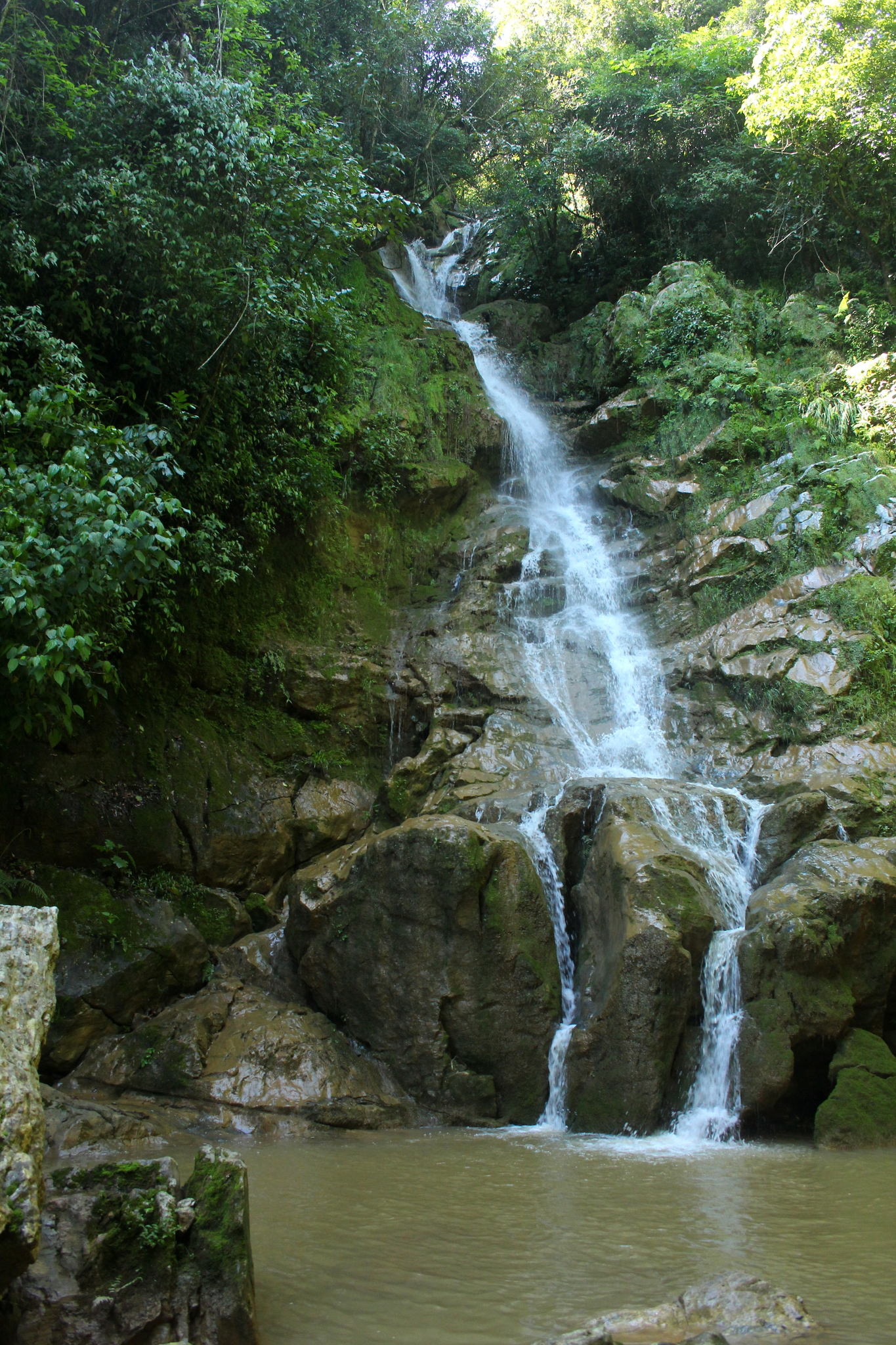


Drive times by road from OpenStreetMap, without traffic. Times marked ~ are estimated from the straight-line distance.
Location from OpenStreetMap. Written by Puebloteca.