A region of Oaxaca
The deep, hot canyon of the Río Grande and Río Salado in northern Oaxaca, between the Mixteca and the Sierra Mazateca, part of the Tehuacán-Cuicatlán Biosphere Reserve with its columnar cactus forests, plus the cool Mazatec highlands around Huautla de Jiménez.
1 Pueblo Mágico · 13 places to visit
Pueblos Mágicos in La Cañada (Oaxaca)

Map
Places to visit in La Cañada (Oaxaca) 13
13 places with their own page, grouped by kind.
Towns · 9 Lakes · 1 Viewpoints · 1 Villages · 1 Waterfalls · 1
Towns
-
Acatlán de Pérez Figueroa · Town · Oaxaca
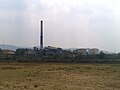
Sugar-cane town in northern Oaxaca's Papaloapan region, at about 130 m, with the La Margarita mill and the Miguel Alemán reservoir nearby. -
Chiquihuitlán de Benito Juárez · Town · Oaxaca
Mazatec town in the Cañada at 1,205 m, with a two-headed bird legend, sugar cane, panela and wool gabanes; about 30 km from Huautla. -
Eloxochitlán de Flores Magón · Town · Oaxaca
Mazatec town at 1,345 m in Oaxaca's far north, birthplace of the revolutionary Ricardo Flores Magón, a few kilometres from Huautla. -
San Felipe Jalapa de Díaz · Town · Oaxaca
Mazatec seat on the Santo Domingo river at about 140 m, under Cerro Rabón: a market town known for hand-embroidered blouses and coffee. -
San José Tenango · Town · Oaxaca
Mazatec seat in Oaxaca's Cañada, deep in rainy sierra country; the municipality has 141 localities. -
San Pedro Ixcatlán · Town · Oaxaca
Mazatec town on a peninsula of the Miguel Alemán reservoir: fish farms, lakeside ceviche and boats to the Mil Islas. -
Santa María la Asunción · Town · Oaxaca
Mazatec town hugging Huautla at 1,668 m: embroidered huipiles, rabbit and mushroom dishes, and the Son Mazateco from its brass band. -
Santiago Quiotepec · Town · Oaxaca
Village of 150 people at 551 m in the Cañada de Cuicatlán, with an archaeological zone, a river and the old railway line. -
Teotitlán de Flores Magón · Town · Oaxaca
Gateway to the Cañada at 1,015 m, birthplace of the Flores Magón brothers, with tesmole, the jarabe teotiteco and San Miguel's fiesta on 29 September.




Lakes
-
Presa Miguel Alemán · Lake · Oaxaca
A 47,800-hectare reservoir on the Río Tonto in Mazatec country: islands that were hilltops, tilapia fishing and boat trips from Temascal or Cerro Quemado.

Viewpoints
-
Cerro de la Adoración · Viewpoint · Huautla
The sacred Mazatec hill above Huautla, where healers go to pray; a walk up gives wide views over the misty sierra.

Villages
-
San Juan Tepeuxila · Village · Oaxaca
Cuicatec municipal seat at 2,116 m in the Cuicatlán district of the Cañada, with 482 residents in 2020.

Waterfalls
-
Cascada de Puente de Fierro · Waterfall · Huautla
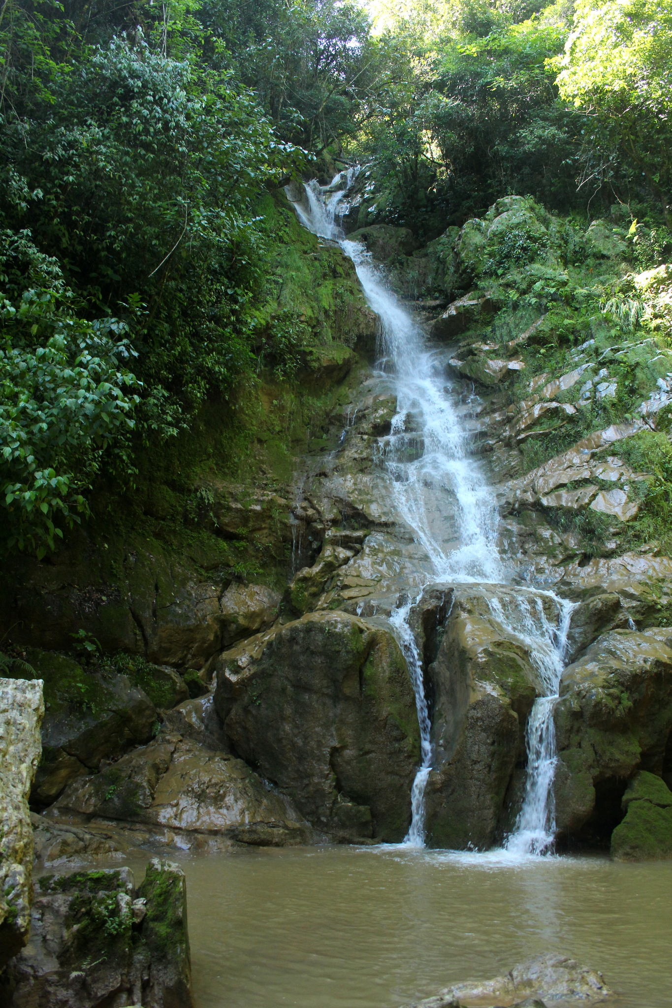
A waterfall in thick green forest about 10 minutes from Huautla on the road to Chilchotla, with clear water and spots for rappelling.
Top tours in La Cañada (Oaxaca)


Tours, prices and ratings from Viator, checked weekly. We may earn a commission if you book.
Getting around La Cañada (Oaxaca)
Fly into Oaxaca (OAX).
Most of the region is reached by road: a rental car is the easiest way to see several places in a day, and buses link the larger towns.
When to visit La Cañada (Oaxaca)
Most of La Cañada (Oaxaca) is at its best in February, March, April, and May.
Month-by-month climate on each Pueblo Mágico's page: Huautla