Town Santa María la Asunción, Oaxaca Central Valleys of Oaxaca La Cañada (Oaxaca)
Mazatec town hugging Huautla at 1,668 m: embroidered huipiles, rabbit and mushroom dishes, and the Son Mazateco from its brass band.
From Tuxtepec: 1 h 50 min by car (115 km by road) How to get there ↓
Near here
See everything nearby ↓



Plan your visit to Santa María la Asunción
Where to stay near Santa María la Asunción
Compare hotels, posadas and guest houses in Santa María la Asunción.
Tours to Santa María la Asunción
Day trips around Huautla sometimes stop in Santa María la Asunción; a tour is the easy way to see it without a car.
How to get to Santa María la Asunción
- From Tuxtepec: about 1 h 50 min by road (~115 km)
- Nearest airport: Oaxaca (OAX), 3 h 34 min by car to Huautla
Links open a partner site. We may earn a commission if you book, at no cost to you.
About Santa María la Asunción
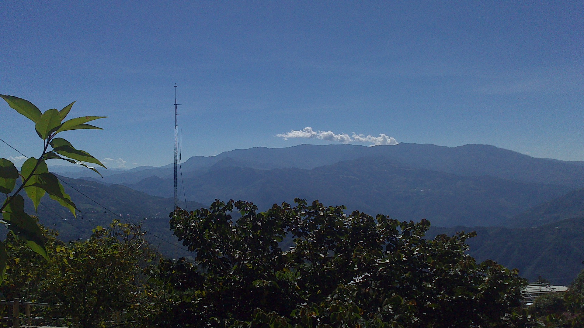
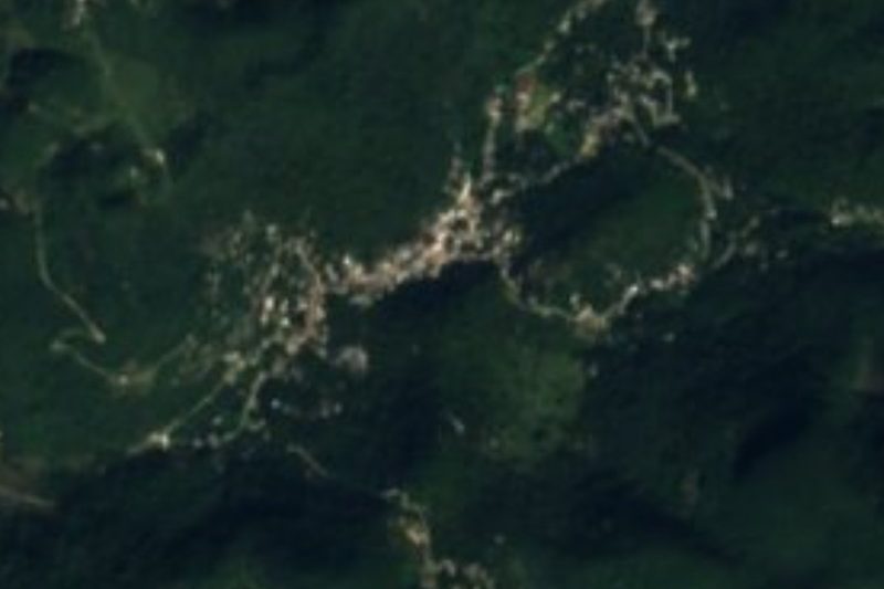
This town is so small that the whole municipality covers just 7.6 km², entirely surrounded by Huautla de Jiménez (north, west and south) and Huautepec (east). Santa María la Asunción sits at 1,668 m in the Sierra Mazateca, with a damp temperate climate and 2,000 to 3,000 mm of rain a year, and in 2020 the municipality counted 3,259 people: 1,558 in the seat, 1,204 in Llano de Agua, 466 in San Agustín Nuevo and 31 in La Raya. It is governed by customary law and almost everyone speaks Mazatec.
The population peaked at 1,880 in 1990; in 1900 it was 825, and since then the seat has swung between about 1,000 and 1,900. The craft speciality is embroidery of shirts and of the typical huipiles of the Mazatec region, and manta-cloth trousers are sewn too. Local cooking comes from the hills: stewed rabbit, armadillo and temazate deer, quintoniles greens, mushrooms and champiñones, with sour atole and cane spirit to drink. The brass band plays the Son Mazateco, "La flor de naranja", "Flor de calabaza" and "Flor de Liz".
The municipality has one Catholic church and a bandstand counted among its monuments. About 2 km away there are archaeological tombs and caves whose underground chambers open onto the river; they have not been explored and are not an organised visit. Nearly a third of the land is farmed and more than half is forest.
How to get to Santa María la Asunción
Drive from Tuxtepec: 1 h 50 min, 115 km
Santa María la Asunción is about 5 km from Huautla de Jiménez, which surrounds it, so the route is Huautla's: from the Cañada take federal highway 182 toward Teotitlán de Flores Magón and follow the signs up into the Mazatec sierra. From Tehuacán, Puebla, ADO's AU line has served Huautla; check times at the Tehuacán terminal, because that information dates from 2020. From the city of Oaxaca you first go toward Teotitlán de Flores Magón.
We found no colectivo timetable between Huautla and the town, which are next to each other; most people walk or take a taxi from central Huautla. The mountain road is winding and often foggy: leave early.
Directions to Santa María la Asunción on Google Maps
Distances are in a straight line; the road is usually longer.
Links open a partner site. We may earn a commission if you book, at no cost to you.
From the nearest cities to Santa María la Asunción
- Tuxtepec · 115 km by road, 1 h 50 min
- Huajuapan de León · about 140 km by road, ~2 h 5 min
- Tehuacán · 138 km by road, 2 h 10 min
Drive times by road from OpenStreetMap, without traffic or stops. Times marked ~ are estimated from the straight-line distance.
Visiting Santa María la Asunción: what to see and do
Visit the Catholic church and the bandstand in the centre.
Look for embroidered Mazatec shirts and huipiles to buy.
Try sour atole and mushroom and quintoniles dishes, where a fonda is open.
Listen for the brass band playing the Son Mazateco.
Ask about the caves and tombs about 2 km out: do not go without a local guide.
Go up to Huautla, about 5 km away, for its market and the story of María Sabina.
Plan your trip
Places to stay in Santa María la Asunción
Compare hotels, posadas, and rentals in and around Santa María la Asunción.
Tours & activities
Day trips around Huautla sometimes stop in Santa María la Asunción; a tour is the easy way to see it without a car.
Rental cars
Pick up a car at OAX (Oaxaca): about 3 h 34 min by road to Huautla, then 5 km more to Santa María la Asunción, on your own schedule.
Flights
The nearest airport with scheduled flights is Oaxaca (OAX), about 3 h 34 min by road from Huautla, the base for Santa María la Asunción.
Mobile data
Signal can drop away from Huautla: download a map of the way to Santa María la Asunción before you set out, or carry an eSIM with data.
Links open a partner site. We may earn a commission if you book, at no cost to you.
When to go to Santa María la Asunción mild
Santa María la Asunción shares the climate of Huautla, 5 km away. The best months to visit are February, March, April, and May.
See the month-by-month climate of Huautla
Weather in Santa María la Asunción now and the next 7 days
Live forecast from Open-Meteo. Chance of rain is the day's highest.
The closest Pueblo Mágico: Huautla

Huautla is the Pueblo Mágico closest to Santa María la Asunción, with places to stay, food, and more to see.
Closest to Santa María la Asunción
-
Cerro de la Adoración · Viewpoint · 1 km away
-
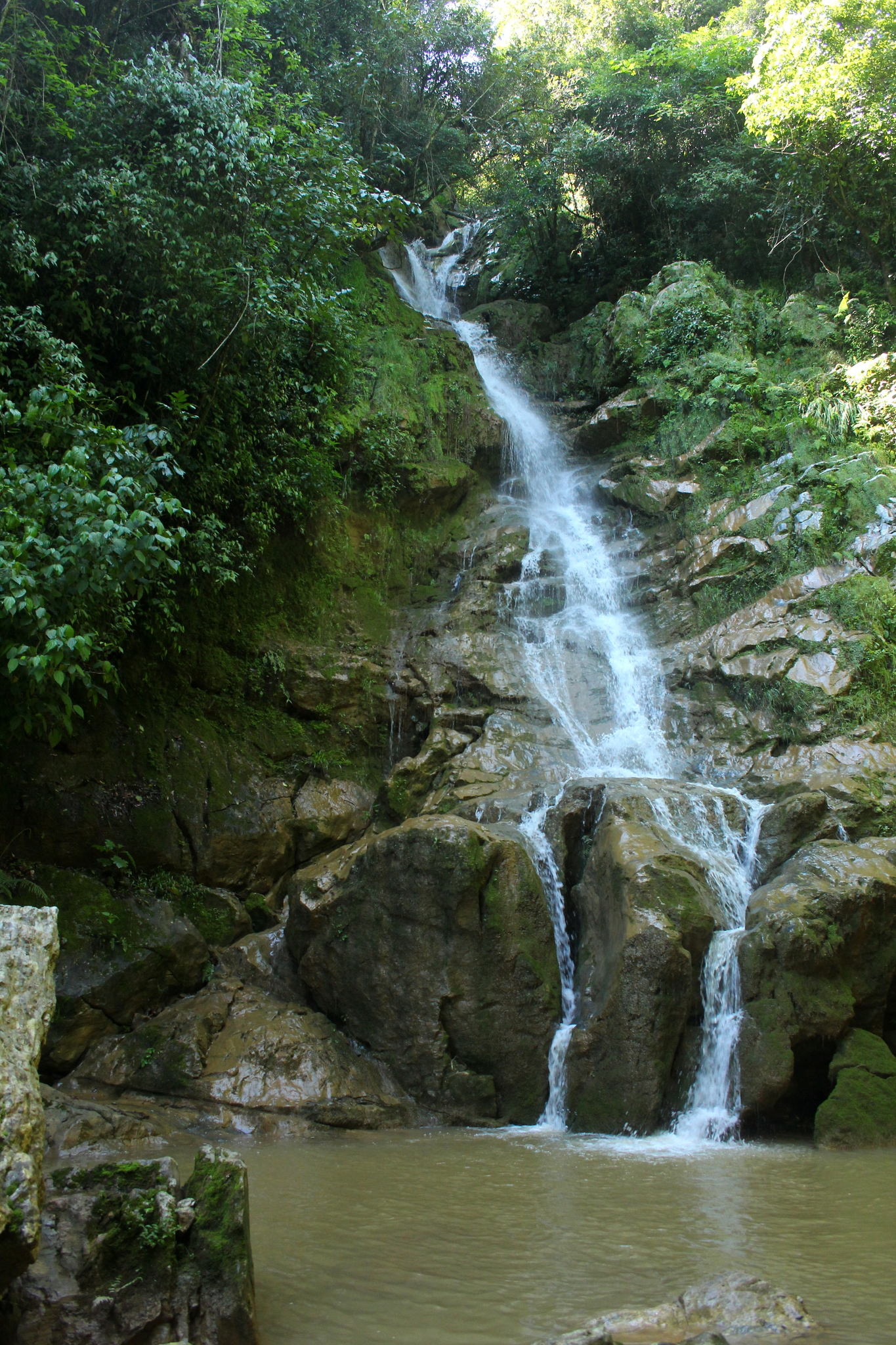
Cascada de Puente de Fierro · Waterfall · 7 km away
-
Eloxochitlán de Flores Magón · Town · 10 km away
-
San José Tenango · Town · 12 km away
-
Chiquihuitlán de Benito Juárez · Town · 15 km away
-
San Juan de los Cués · Town · 26 km away
-
Santa María Coyomeapan · Village · 27 km away
-
Teotitlán de Flores Magón · Town · 27 km away


Near Santa María la Asunción


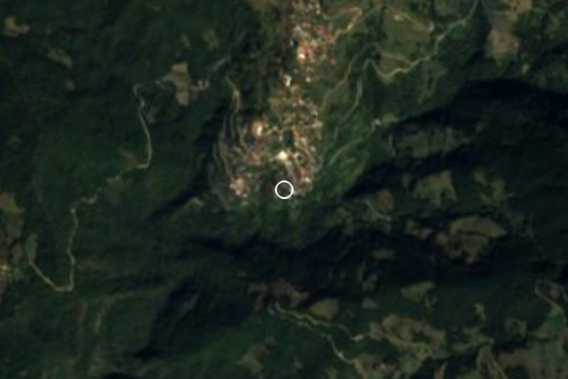


Drive times by road from OpenStreetMap, without traffic. Times marked ~ are estimated from the straight-line distance.
Location from OpenStreetMap. Written by Puebloteca.